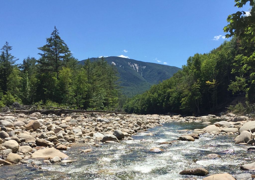
Scar Ridge, also known as Scar Ridge (West Peak), is a mountain located in Grafton County, New Hampshire. It is part of the White Mountains. It is officially trailless and several different routes are possible. Scar Ridge is flanked to the west by Loon Mountain, to the northwest by Black Mountain, and to the east by Mount Osceola.
Scar Ridge stands within the watershed of the Pemigewasset River, which drains into the Merrimack River, and into the Gulf of Maine at Newburyport, Massachusetts. The northeast side of Scar Ridge drains into the Hancock Branch, a tributary of the East Branch of the Pemigewasset River. The southwest side of Scar Ridge drains into Telford Brook, Mack Brook, and Little East Pond Brook, all of which drain into Eastman Brook, and thence into the Pemigewasset.
By elevation Scar Ridge is
# 55 out of 393 in Grafton County # 15 out of 94 in the Sandwich Range
By prominence Scar Ridge is
# 54 out of 393 in Grafton County # 63 out of 428 in White Mountain National Forest # 15 out of 94 in the Sandwich Range
We use GPS information embedded into the photo when it is available.
3D mountains overlay
Adjust mountain panorama to perfectly match your photos because recorded by camera photo position might be imprecise.
Move tool
Rotate tool
Zoom
More customization
Choose which peak labels should make into the final photo and what photo title should be.
Next
Photo Location
Satellitte
Flat map
Relief map
Latitude
Longitude
Altitude
OR
Latitude
°'''
Longitude
°'''
Apply
Register Peak
Peak Name
Latitude
Longitude
Altitude
Register
Teleport
PeakVisor
This 3D model of Sagarmatha National Park in Nepal was made using the PeakVisor app topographic data. The mobile app features higher precision models worldwide, more topographic details, and works offline. Download PeakVisor maps today.
Download OBJ model
PeakVisor
The download should start shortly. If you find it useful please consider supporting the PeakVisor app.
PeakVisor for iOS and Android
Be a superhero of outdoor navigation with state-of-the-art 3D maps and mountain identification in the palm of your hand!