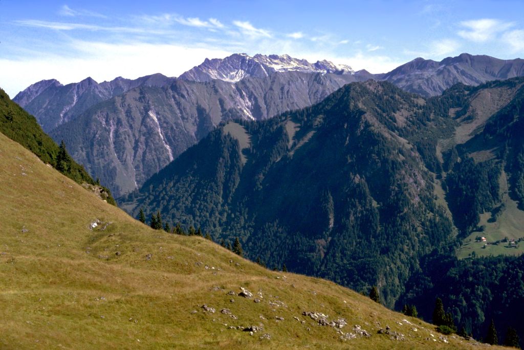
Riffenkopf is a 1,748 m high mountain in the Allgäu Alps in Bavaria, Germany. The peak is located on the ridge that extends from Höfats mountain to the west-north-west and is sometimes referred to as a foothill of Höfats. It is the first distinct summit on the ridge separating the Oy and Dietersbach valleys.
There are no marked hiking trails on the Riffenkopf. Locals make use of hunting trails to reach the summit, but the route is overgrown and difficult to find.
There's a trail leading to the summit.
By prominence Riefenkopf is
# 43 out of 173 in Allgäuer Hochalpen # 86 out of 381 in Landkreis Oberallgäu
We use GPS information embedded into the photo when it is available.
3D mountains overlay
Adjust mountain panorama to perfectly match your photos because recorded by camera photo position might be imprecise.
Move tool
Rotate tool
Zoom
More customization
Choose which peak labels should make into the final photo and what photo title should be.
Next
Photo Location
Satellitte
Flat map
Relief map
Latitude
Longitude
Altitude
OR
Latitude
°'''
Longitude
°'''
Apply
Register Peak
Peak Name
Latitude
Longitude
Altitude
Register
Teleport
PeakVisor
This 3D model of Sagarmatha National Park in Nepal was made using the PeakVisor app topographic data. The mobile app features higher precision models worldwide, more topographic details, and works offline. Download PeakVisor maps today.
Download OBJ model
PeakVisor
The download should start shortly. If you find it useful please consider supporting the PeakVisor app.
PeakVisor for iOS and Android
Be a superhero of outdoor navigation with state-of-the-art 3D maps and mountain identification in the palm of your hand!