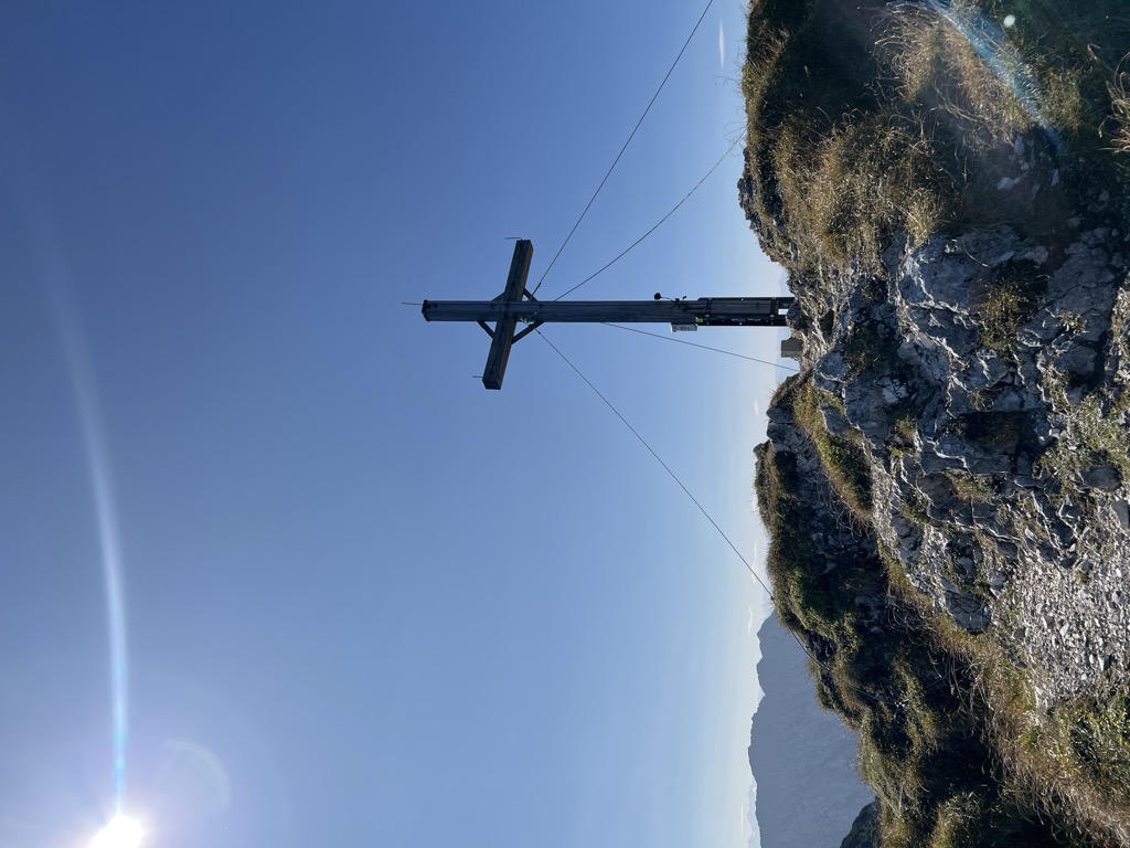
The Pyramidenspitze is a mountain, 1,998 metres high, of the Kaisergebirge in the Austrian state of Tyrol.
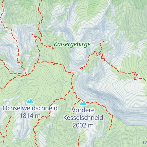
The Pyramidenspitze is only the second highest summit in the Zahmer Kaiser after the largely unknown, 2,002-metre-high (6,568 ft) Vordere Kesselschneid, but is the most well-known and most frequently climbed.
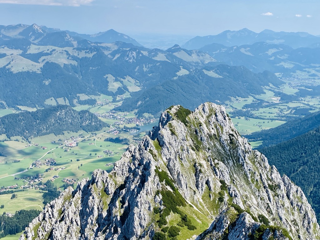
To the south and west of the Pyramidenspitze is a high, karstified plateau, covered with mountain pine, which falls steeply into the valley of the Kaisertal and has a long arête with several summits extending towards Kufstein. To the north it is separated by a wind gap from the Jovenspitze. To the northwest the Pyramidenspitze drops steeply over the Eggersgrinn and to the northeast it drops down rock precipices into the Winkel cirque (Winkelkar).
We use GPS information embedded into the photo when it is available.
3D mountains overlay
Adjust mountain panorama to perfectly match your photos because recorded by camera photo position might be imprecise.
Move tool
Rotate tool
Zoom
More customization
Choose which peak labels should make into the final photo and what photo title should be.
Next
Photo Location
Satellitte
Flat map
Relief map
Latitude
Longitude
Altitude
OR
Latitude
°'''
Longitude
°'''
Apply
Register Peak
Peak Name
Latitude
Longitude
Altitude
Register
Teleport
PeakVisor
This 3D model of Sagarmatha National Park in Nepal was made using the PeakVisor app topographic data. The mobile app features higher precision models worldwide, more topographic details, and works offline. Download PeakVisor maps today.
Download OBJ model
PeakVisor
The download should start shortly. If you find it useful please consider supporting the PeakVisor app.
PeakVisor for iOS and Android
Be a superhero of outdoor navigation with state-of-the-art 3D maps and mountain identification in the palm of your hand!