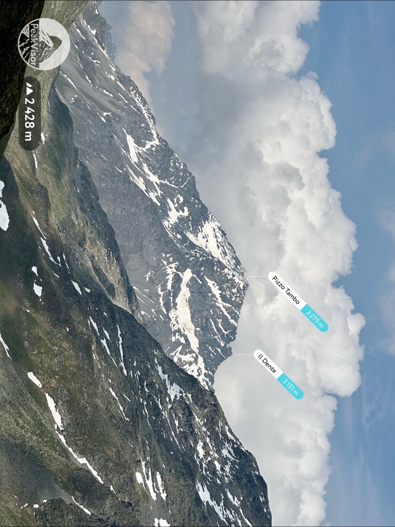
Tambohorn or Pizzo Tambo [ˈpittso ˈtambo] (Swiss names) or Pizzo Tambò [ˈpittso tamˈbɔ] (used in Italy) is a mountain located at the eastern extremity of the Lepontine Alps on the Swiss-Italian border. The mountain lies on the German-Italian language border, west of the Splügen Pass which divides the Western Alps from the Eastern Alps.
Reaching a height of 3,279 metres, it is the highest peak in the Mesolcina sub-chain which, starting from the Lugano Prealps northwards, ends near the Splügen Pass on the boundary between Lombardy (northern Italy) and the Graubünden canton of Switzerland.
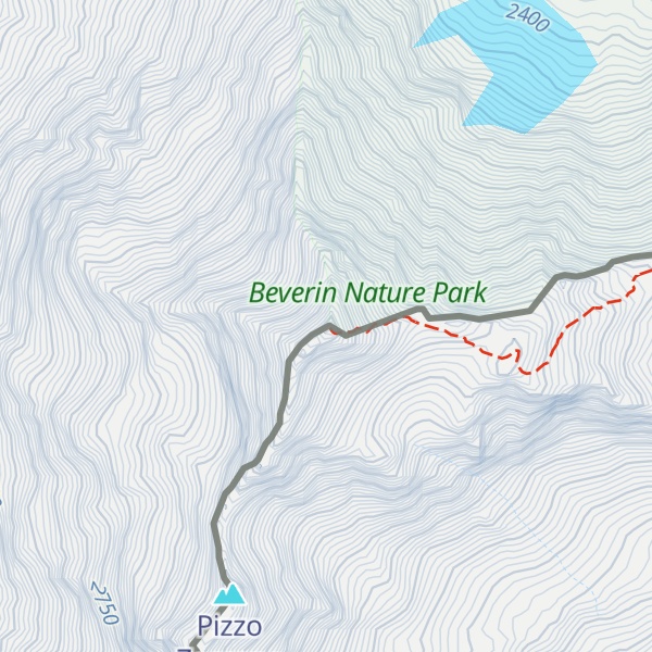
The Tambo is composed mostly of metamorphic rock such as gneiss, mica-schist and phyllite, with a small layer of dolomite just under the peak. It includes three small glaciers, the severally shrunk Tambogletscher on the northeast flank and the Ghiacciaio del Tambo on the west flank, both on the Swiss side, and the by now larger Vedretta della Spianata (3,000-2,740 m) on the southeast side in Italy. Southwards the massif continues with a series of smaller peaks (the highest being the Pizzo Zoccone) before joining the Pizzo Ferré.
Pizzo Tamborello (2,669 m) is the name of the eastern shoulder overlooking the Splügen Pass.
We use GPS information embedded into the photo when it is available.
3D mountains overlay
Adjust mountain panorama to perfectly match your photos because recorded by camera photo position might be imprecise.
Move tool
Rotate tool
Zoom
More customization
Choose which peak labels should make into the final photo and what photo title should be.
Next
Photo Location
Satellitte
Flat map
Relief map
Latitude
Longitude
Altitude
OR
Latitude
°'''
Longitude
°'''
Apply
Register Peak
Peak Name
Latitude
Longitude
Altitude
Register
Teleport
PeakVisor
This 3D model of Sagarmatha National Park in Nepal was made using the PeakVisor app topographic data. The mobile app features higher precision models worldwide, more topographic details, and works offline. Download PeakVisor maps today.
Download OBJ model
PeakVisor
The download should start shortly. If you find it useful please consider supporting the PeakVisor app.
PeakVisor for iOS and Android
Be a superhero of outdoor navigation with state-of-the-art 3D maps and mountain identification in the palm of your hand!