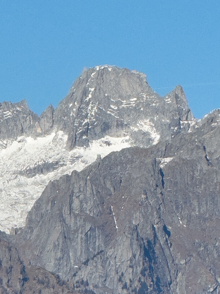
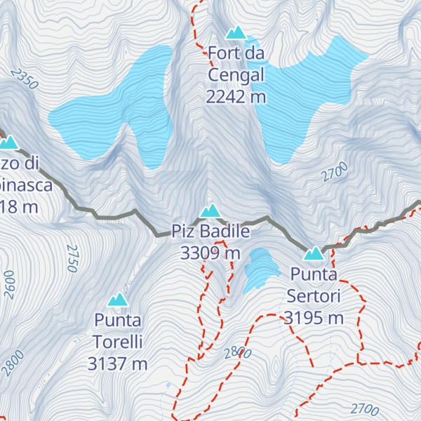
Piz Badile (3,308 m) is a mountain of the Bregaglia range in the Swiss canton of Graubünden and the Italian region of Lombardy. The border between the two countries runs along the summit ridge. Its north-east face, overlooking the Swiss Val Bregaglia near Soglio, is considered one of the six great north faces of the Alps. The name Badile means spade or shovel (arising from the mountain's appearance when viewed from the Val Bregaglia).
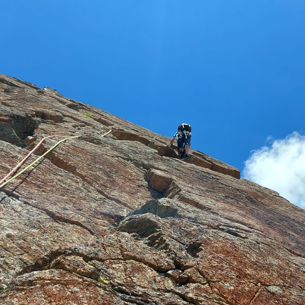
There's a demanding alpine trail (T5) leading to the summit.
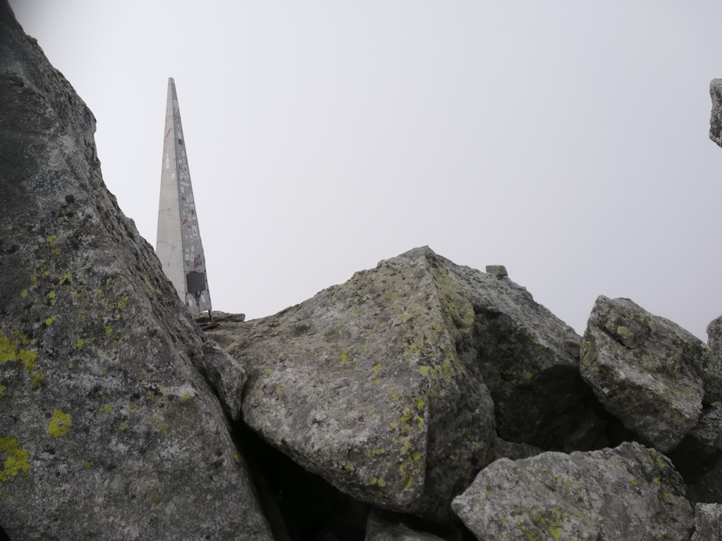
The nearest mountain hut is Bivacco Alfredo Redaelli located 144m/472ft ESE of the summit.
By elevation Piz Badile is
# 80 out of 2797 in the Western Rhaetian Alps # 76 out of 2367 in Grisons # 56 out of 419 in Maloja # 93 out of 973 in Sondrio # 12 out of 246 in the Val Bregaglia
By prominence Piz Badile is
# 40 out of 419 in Maloja # 93 out of 973 in Sondrio # 13 out of 246 in the Val Bregaglia
We use GPS information embedded into the photo when it is available.
3D mountains overlay
Adjust mountain panorama to perfectly match your photos because recorded by camera photo position might be imprecise.
Move tool
Rotate tool
Zoom
More customization
Choose which peak labels should make into the final photo and what photo title should be.
Next
Photo Location
Satellitte
Flat map
Relief map
Latitude
Longitude
Altitude
OR
Latitude
°'''
Longitude
°'''
Apply
Register Peak
Peak Name
Latitude
Longitude
Altitude
Register
Teleport
PeakVisor
This 3D model of Sagarmatha National Park in Nepal was made using the PeakVisor app topographic data. The mobile app features higher precision models worldwide, more topographic details, and works offline. Download PeakVisor maps today.
Download OBJ model
PeakVisor
The download should start shortly. If you find it useful please consider supporting the PeakVisor app.
PeakVisor for iOS and Android
Be a superhero of outdoor navigation with state-of-the-art 3D maps and mountain identification in the palm of your hand!