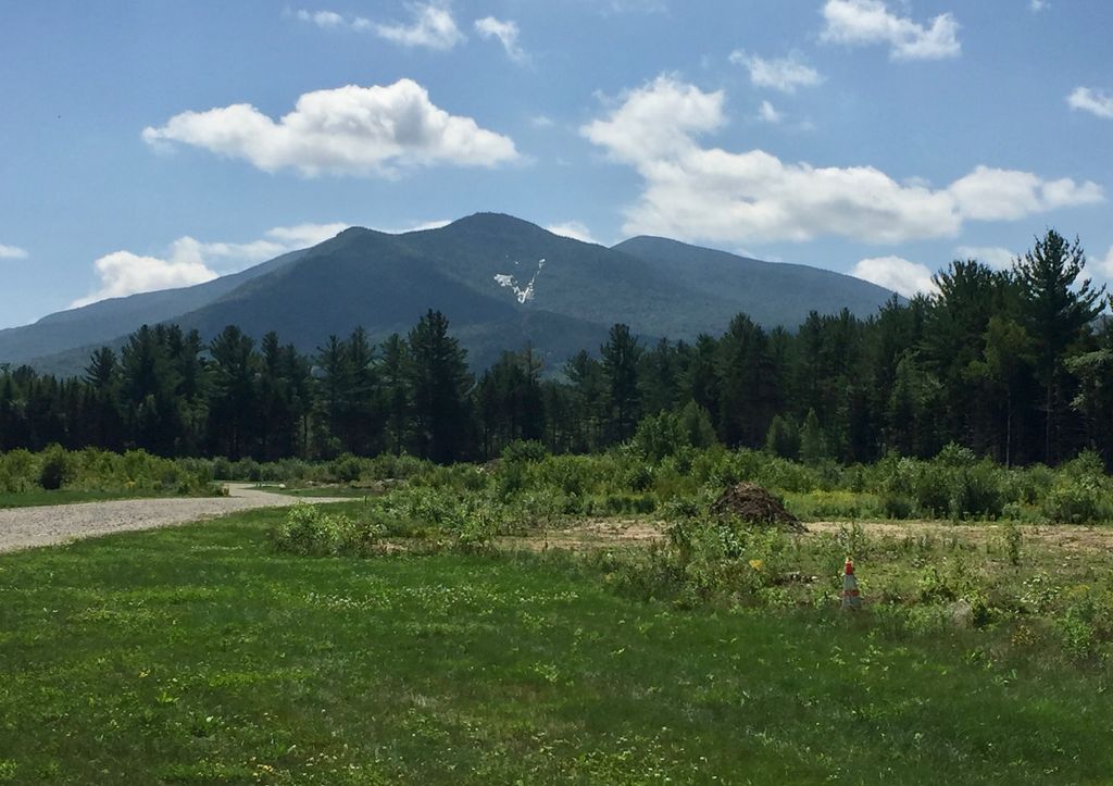
Nubble Peak, also known as The Peak Above The Nubble, is a mountain located in Grafton County, New Hampshire.
The mountain is part of the Twin Range of the White Mountains. A rock outcrop on its northwestern ridge is known as The Nubble, but topographic maps identify the formation as Haystack Mountain.
Nubble Peak is flanked to the south by North Twin Mountain. The mountain is officially trailless and is one of New England's hundred highest summits.
Nubble Peak stands within the watershed of the Ammonoosuc River, which drains into the upper Connecticut River, and into Long Island Sound in Connecticut.
The east and southeast faces of Nubble Peak drain into the Little River, thence into the Ammonoosuc River.
The northwest side of Nubble Peak drains into Haystack Brook, thence into the Ammonoosuc.
The southwest end of Nubble Peak drains to the North Branch of the Gale River, another tributary of the Ammonoosuc River.
There's a trail leading to the summit.
By elevation Peak Above the Nubble is
# 54 out of 393 in Grafton County # 32 out of 89 in the Franconia Mountains
We use GPS information embedded into the photo when it is available.
3D mountains overlay
Adjust mountain panorama to perfectly match your photos because recorded by camera photo position might be imprecise.
Move tool
Rotate tool
Zoom
More customization
Choose which peak labels should make into the final photo and what photo title should be.
Next
Photo Location
Satellitte
Flat map
Relief map
Latitude
Longitude
Altitude
OR
Latitude
°'''
Longitude
°'''
Apply
Register Peak
Peak Name
Latitude
Longitude
Altitude
Register
Teleport
PeakVisor
This 3D model of Sagarmatha National Park in Nepal was made using the PeakVisor app topographic data. The mobile app features higher precision models worldwide, more topographic details, and works offline. Download PeakVisor maps today.
Download OBJ model
PeakVisor
The download should start shortly. If you find it useful please consider supporting the PeakVisor app.
PeakVisor for iOS and Android
Be a superhero of outdoor navigation with state-of-the-art 3D maps and mountain identification in the palm of your hand!