Mount Zealand, or Zealand Mountain, is a mountain located in the White Mountains, in Grafton County, New Hampshire. Zealand stands on a spur ridge northeast of Mount Guyot, and facing Whitewall Mountain to the east across Zealand Notch.
Zealand's south and northeast sides drain into the North Fork Pemigewasset River, thence into the Pemigewasset and Merrimack rivers, reaching the Gulf of Maine in Massachusetts. The west side drains into the Little River, thence into the Ammonoosuc and Connecticut rivers, reaching Long Island Sound in Connecticut.
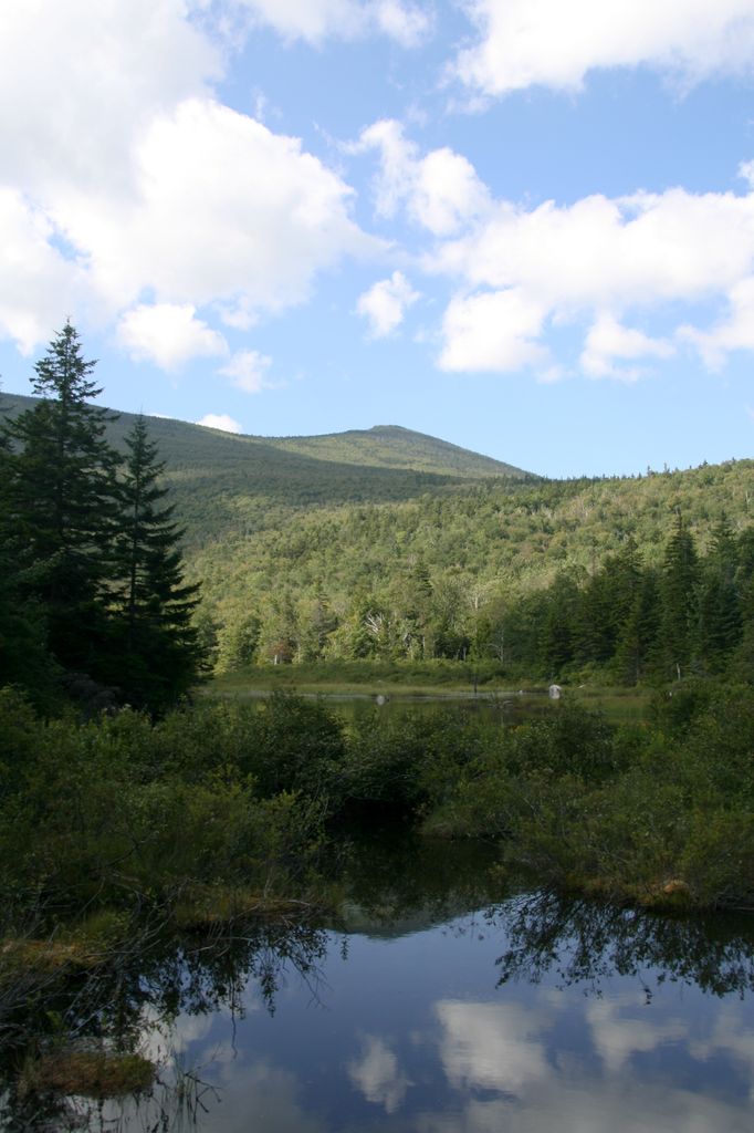
The Twinway, a section of the Appalachian Trail, a 2,186-mile (3,518-km) National Scenic Trail from Georgia to Maine, crosses Zealand. Zealand is a popular hiking destination, with attractions including the Zeacliffs, on the eastern end of its ridgeline, just off the Appalachian Trail, offering dramatic views across Zealand Notch, to the Presidential and Willey Ranges and to Mount Carrigain, as well as Zealand Falls, for which a neighboring Appalachian Mountain Club hut is named, also along the Appalachian Trail, near the notch and downhill to the north from Zeacliffs.
There's a trail called Mt Zealand herd path leading to the summit.
By elevation Mount Zealand is
# 29 out of 393 in Grafton County # 61 out of 428 in White Mountain National Forest # 62 out of 1985 in New Hampshire # 62 out of 844 in the White Mountains (New Hampshire) # 23 out of 89 in the Franconia Mountains
We use GPS information embedded into the photo when it is available.
3D mountains overlay
Adjust mountain panorama to perfectly match your photos because recorded by camera photo position might be imprecise.
Move tool
Rotate tool
Zoom
More customization
Choose which peak labels should make into the final photo and what photo title should be.
Next
Photo Location
Satellitte
Flat map
Relief map
Latitude
Longitude
Altitude
OR
Latitude
°'''
Longitude
°'''
Apply
Register Peak
Peak Name
Latitude
Longitude
Altitude
Register
Teleport
PeakVisor
This 3D model of Sagarmatha National Park in Nepal was made using the PeakVisor app topographic data. The mobile app features higher precision models worldwide, more topographic details, and works offline. Download PeakVisor maps today.
Download OBJ model
PeakVisor
The download should start shortly. If you find it useful please consider supporting the PeakVisor app.
PeakVisor for iOS and Android
Be a superhero of outdoor navigation with state-of-the-art 3D maps and mountain identification in the palm of your hand!