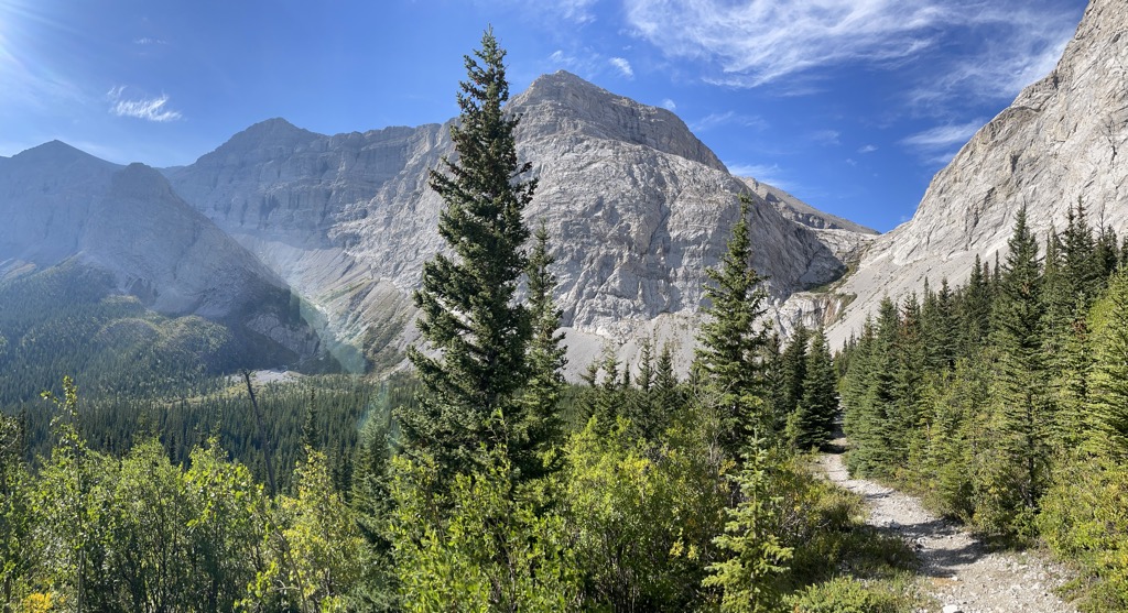
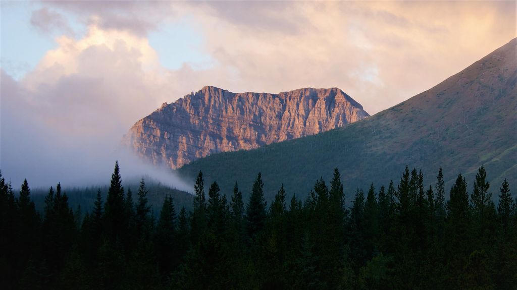
Mount Strachan is located North of Fording River Pass and straddles the Continental Divide marking the Alberta-British Columbia border. It was named in 1918 after Lt. Henry Strachan, VC, a Scottish born Canadian army officer.Lt. Strachan was awarded the Victoria Cross after leading his regiment through German lines in World War I, killing seven gunners of a machine gun battery with his own sword and returning safely with his men and 15 prisoners through enemy lines during the night.
There's a trail called McPhail Muir Strachan Routes leading to the summit.
By elevation Mount Strachan is
# 37 out of 73 in Don Getty Wildland Provincial Park
By prominence Mount Strachan is
# 30 out of 73 in Don Getty Wildland Provincial Park # 96 out of 370 in Kananaskis Improvement District
We use GPS information embedded into the photo when it is available.
3D mountains overlay
Adjust mountain panorama to perfectly match your photos because recorded by camera photo position might be imprecise.
Move tool
Rotate tool
Zoom
More customization
Choose which peak labels should make into the final photo and what photo title should be.
Next
Photo Location
Satellitte
Flat map
Relief map
Latitude
Longitude
Altitude
OR
Latitude
°'''
Longitude
°'''
Apply
Register Peak
Peak Name
Latitude
Longitude
Altitude
Register
Teleport
PeakVisor
This 3D model of Sagarmatha National Park in Nepal was made using the PeakVisor app topographic data. The mobile app features higher precision models worldwide, more topographic details, and works offline. Download PeakVisor maps today.
Download OBJ model
PeakVisor
The download should start shortly. If you find it useful please consider supporting the PeakVisor app.
PeakVisor for iOS and Android
Be a superhero of outdoor navigation with state-of-the-art 3D maps and mountain identification in the palm of your hand!