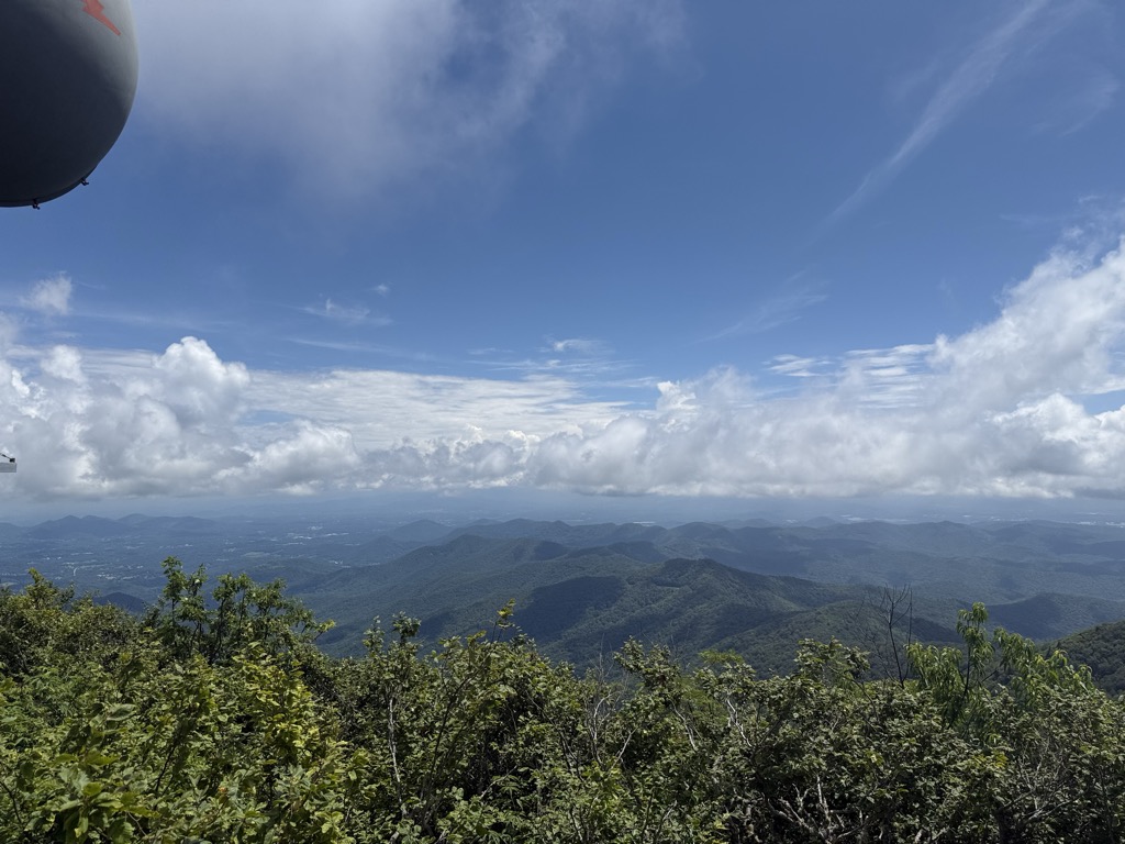
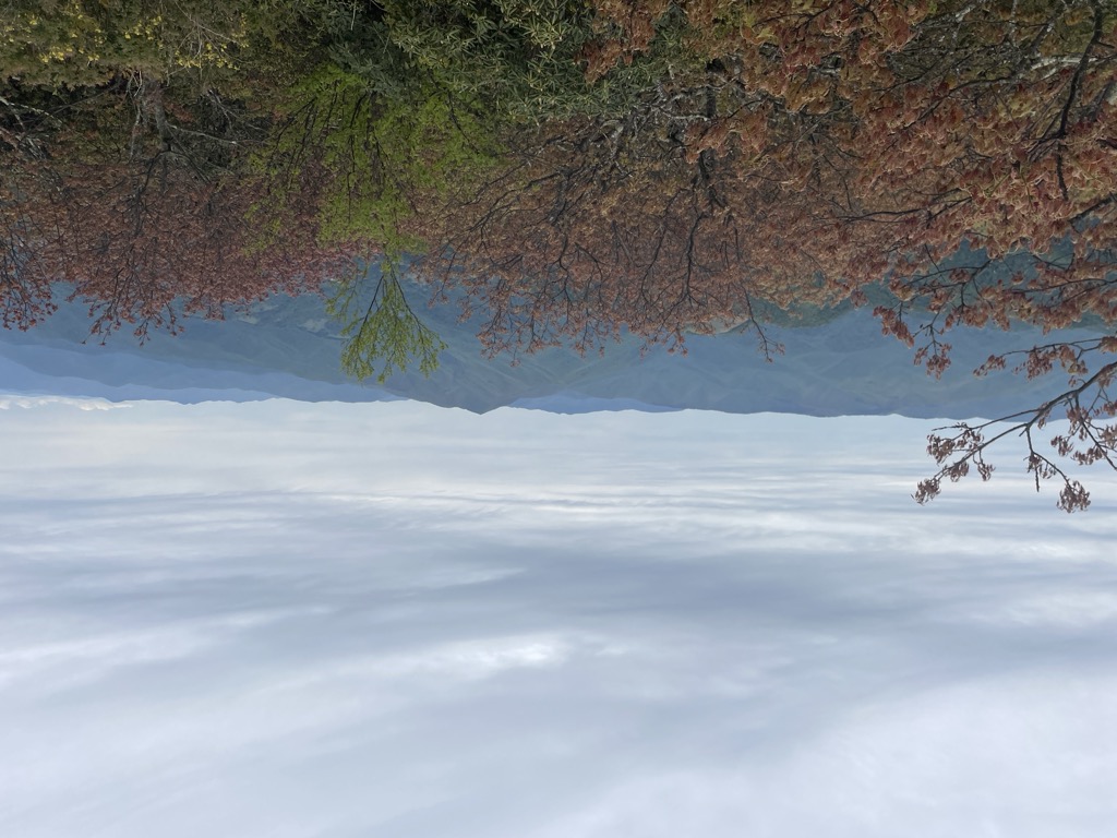
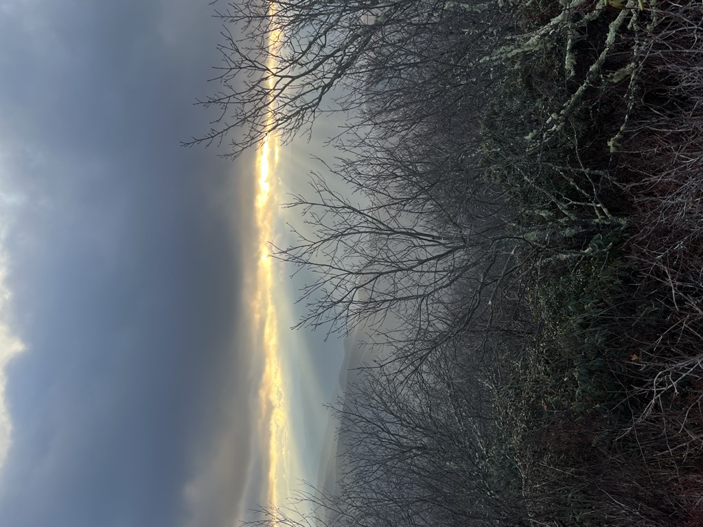
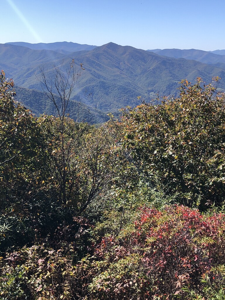
Mount Pisgah is a mountain in the Appalachian mountain range and part of the Blue Ridge Mountains of North Carolina, United States. The mountain's height is 5,721 feet (1,744 m) above sea level, and it sits approximately 15 miles (24 kilometers) southwest of Asheville, near the crossing of the boundaries of Buncombe, Haywood, Henderson and Transylvania counties. It is located on the border of Buncombe and Haywood counties, close to the point where Henderson and Transylvania meet them, but not actually within the latter two counties. The mountain is easily accessible via a hiking trail from the Blue Ridge Parkway, near the Pisgah Inn.
Some people in the area have referred to "Pisgah and the Rat" because the mountain and others nearby are said to look like a rat. Art by Harry Sage appears on the city seal of Asheville, North Carolina.
There's a trail called Mount Pisgah Trail leading to the summit.
By elevation Mount Pisgah is
# 30 out of 315 in the Great Balsam Mountains # 9 out of 275 in Buncombe County # 49 out of 270 in Haywood County # 52 out of 497 in Pisgah National Forest
By prominence Mount Pisgah is
# 2 out of 315 in the Great Balsam Mountains # 35 out of 3424 in North Carolina # 3 out of 275 in Buncombe County # 6 out of 270 in Haywood County # 8 out of 497 in Pisgah National Forest # 64 out of 6326 in the Blue Ridge Mountains
We use GPS information embedded into the photo when it is available.
3D mountains overlay
Adjust mountain panorama to perfectly match your photos because recorded by camera photo position might be imprecise.
Move tool
Rotate tool
Zoom
More customization
Choose which peak labels should make into the final photo and what photo title should be.
Next
Photo Location
Satellitte
Flat map
Relief map
Latitude
Longitude
Altitude
OR
Latitude
°'''
Longitude
°'''
Apply
Register Peak
Peak Name
Latitude
Longitude
Altitude
Register
Teleport
PeakVisor
This 3D model of Sagarmatha National Park in Nepal was made using the PeakVisor app topographic data. The mobile app features higher precision models worldwide, more topographic details, and works offline. Download PeakVisor maps today.
Download OBJ model
PeakVisor
The download should start shortly. If you find it useful please consider supporting the PeakVisor app.
PeakVisor for iOS and Android
Be a superhero of outdoor navigation with state-of-the-art 3D maps and mountain identification in the palm of your hand!


_Oct_2016.jpg)


