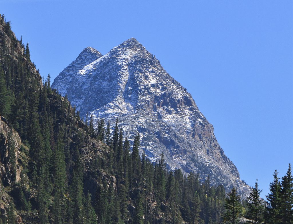
Mount Garfield is a 13,074-foot-elevation (3,985-meter) mountain summit located in San Juan County, Colorado, United States. It is situated eight miles south of the community of Silverton, in the Weminuche Wilderness, on land managed by San Juan National Forest. It is part of the San Juan Mountains range which is a subset of the Rocky Mountains of North America. Precipitation runoff from the mountain drains into tributaries of the Animas River. The peak can be seen from U.S. Route 550 and the Durango and Silverton Narrow Gauge Railroad. Topographic relief is significant as the west aspect rises over 4,300 feet (1,300 meters) above the river and railway in approximately one mile. It is set six miles west of the Continental Divide, one mile west of Electric Peak, and three miles east-southeast of Snowdon Peak.
By elevation Mount Garfield is
# 69 out of 126 in Weminuche Wilderness Area # 69 out of 96 in San Juan County
By prominence Mount Garfield is
# 75 out of 126 in Weminuche Wilderness Area # 59 out of 96 in San Juan County
We use GPS information embedded into the photo when it is available.
3D mountains overlay
Adjust mountain panorama to perfectly match your photos because recorded by camera photo position might be imprecise.
Move tool
Rotate tool
Zoom
More customization
Choose which peak labels should make into the final photo and what photo title should be.
Next
Photo Location
Satellitte
Flat map
Relief map
Latitude
Longitude
Altitude
OR
Latitude
°'''
Longitude
°'''
Apply
Register Peak
Peak Name
Latitude
Longitude
Altitude
Register
Teleport
PeakVisor
This 3D model of Sagarmatha National Park in Nepal was made using the PeakVisor app topographic data. The mobile app features higher precision models worldwide, more topographic details, and works offline. Download PeakVisor maps today.
Download OBJ model
PeakVisor
The download should start shortly. If you find it useful please consider supporting the PeakVisor app.
PeakVisor for iOS and Android
Be a superhero of outdoor navigation with state-of-the-art 3D maps and mountain identification in the palm of your hand!