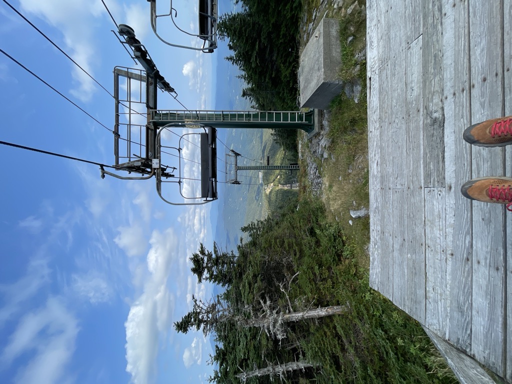
Mount Ellen is a mountain in the Green Mountains in the U.S. state of Vermont. Located at the northern edge of the Green Mountain National Forest in Washington County, the summit of Mount Ellen is in the northwest corner of Warren but the mountain extends into Fayston to the north and Lincoln to the west. Together with Lincoln Peak to the south, the slopes of Mount Ellen are home to the Sugarbush Resort.
Mount Ellen is one of a handful of 4,000-foot (1,200 m) peaks in Vermont. At 4,083 feet (1,244 m), it is tied (with Camel's Hump) for the third-highest mountain in the state.
There's a trail called Long Trail leading to the summit. Mount Ellen is one of the 53 peaks along the multi-day Long Trail.
By elevation Mount Ellen is
# 2 out of 84 in Green Mountain National Forest # 5 out of 1311 in Vermont # 1 out of 90 in Washington County # 5 out of 683 in the Green Mountains
By prominence Mount Ellen is
# 4 out of 84 in Green Mountain National Forest # 11 out of 1311 in Vermont # 2 out of 90 in Washington County # 64 out of 39823 in the Appalachian Mountains # 7 out of 683 in the Green Mountains
We use GPS information embedded into the photo when it is available.
3D mountains overlay
Adjust mountain panorama to perfectly match your photos because recorded by camera photo position might be imprecise.
Move tool
Rotate tool
Zoom
More customization
Choose which peak labels should make into the final photo and what photo title should be.
Next
Photo Location
Satellitte
Flat map
Relief map
Latitude
Longitude
Altitude
OR
Latitude
°'''
Longitude
°'''
Apply
Register Peak
Peak Name
Latitude
Longitude
Altitude
Register
Teleport
PeakVisor
This 3D model of Sagarmatha National Park in Nepal was made using the PeakVisor app topographic data. The mobile app features higher precision models worldwide, more topographic details, and works offline. Download PeakVisor maps today.
Download OBJ model
PeakVisor
The download should start shortly. If you find it useful please consider supporting the PeakVisor app.
PeakVisor for iOS and Android
Be a superhero of outdoor navigation with state-of-the-art 3D maps and mountain identification in the palm of your hand!