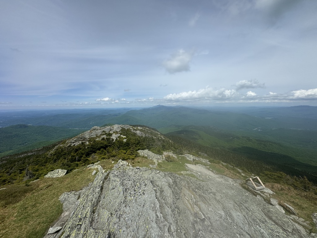
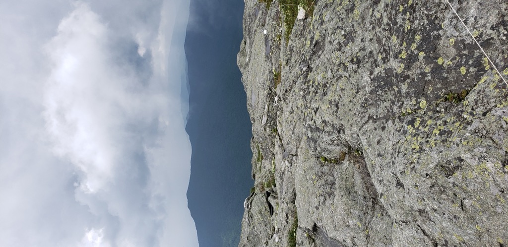
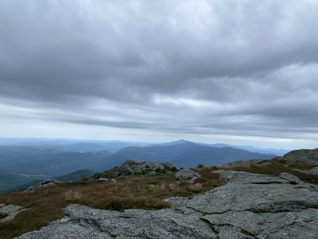
Camel's Hump (alternatively Camels Hump) is a mountain in the Green Mountains in the U.S. state of Vermont. The north slope of the mountain borders the Winooski River, which has carved through the Green Mountains over eons. At 4,083 ft (1,244 m), it is tied with Mount Ellen for the third-highest mountain in Vermont. Surmounted by 10 acres (4 ha) of alpine tundra, the mountain is the most significant feature in Camel's Hump State Park. Because of its distinctive profile, it is perhaps the state's most recognized mountain, featured on the state quarter.
There's a trail called Long Trail leading to the summit. Camels Hump is one of the 53 peaks along the multi-day Long Trail.
By elevation Camels Hump is
# 6 out of 1311 in Vermont # 4 out of 76 in Chittenden County # 2 out of 90 in Washington County # 6 out of 683 in the Green Mountains
By prominence Camels Hump is
# 14 out of 1311 in Vermont # 2 out of 76 in Chittenden County # 3 out of 90 in Washington County # 93 out of 39823 in the Appalachian Mountains # 8 out of 683 in the Green Mountains
We use GPS information embedded into the photo when it is available.
3D mountains overlay
Adjust mountain panorama to perfectly match your photos because recorded by camera photo position might be imprecise.
Move tool
Rotate tool
Zoom
More customization
Choose which peak labels should make into the final photo and what photo title should be.
Next
Photo Location
Satellitte
Flat map
Relief map
Latitude
Longitude
Altitude
OR
Latitude
°'''
Longitude
°'''
Apply
Register Peak
Peak Name
Latitude
Longitude
Altitude
Register
Teleport
PeakVisor
This 3D model of Sagarmatha National Park in Nepal was made using the PeakVisor app topographic data. The mobile app features higher precision models worldwide, more topographic details, and works offline. Download PeakVisor maps today.
Download OBJ model
PeakVisor
The download should start shortly. If you find it useful please consider supporting the PeakVisor app.
PeakVisor for iOS and Android
Be a superhero of outdoor navigation with state-of-the-art 3D maps and mountain identification in the palm of your hand!