Mount Cotter, located in the Kings Canyon National Park, is named for Dick Cotter who was a packer with the California Geological Survey in 1864. Cotter and Clarence King made the first ascent of Mount Tyndall.
The Mountain has an elevation of 12,719 feet (3,877 m).
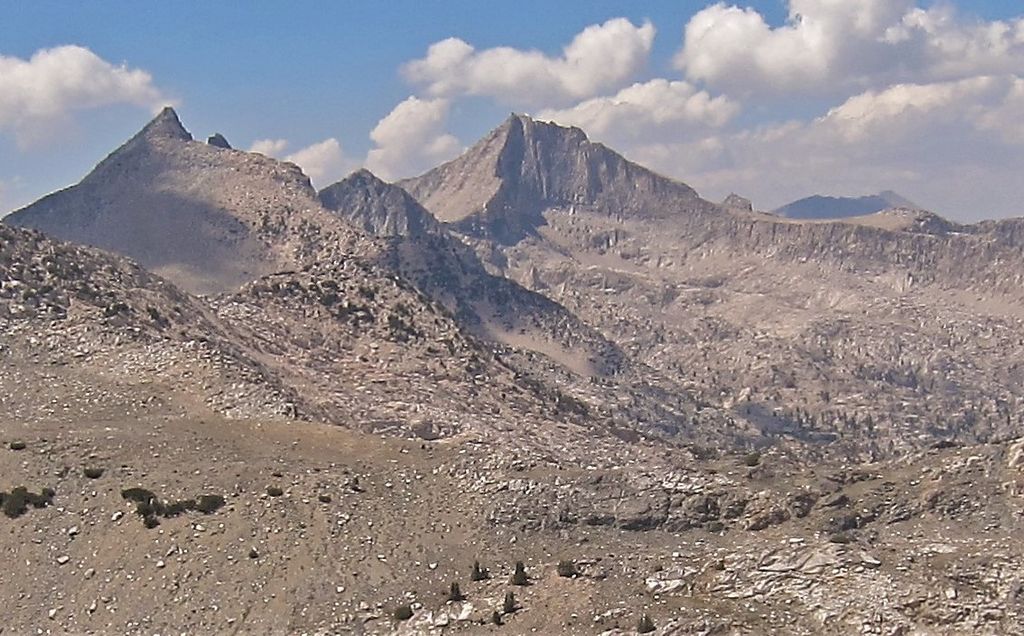
The mountain is easily climbed from Gardiner Basin with a class 2-3 slope. There are more difficult routes found on the north and east sides of Mount Cotter. The mountain features a large class 4-5 summit block. Mount Cotter can be reached from the west or east side of the Sierra Nevada.
Wilderness permits are required for overnight stays entering from either the east or west. There is a Visitors Center in Grant Grove that can inform visitors of when the office at Road's End will be open.
Camping is allowed in many places along the approach to Mt Cotter. Kearsarge Lakes, Charlotte Lake, and Rae Lakes all have a maximum 2 nights stay, and Bullfrog Lake along the Kearsarge Pass Trail is closed to camping. Bear canisters are required for overnight stays.
By elevation Mount Cotter is
# 88 out of 183 in Kings Canyon National Park # 82 out of 372 in Fresno County
We use GPS information embedded into the photo when it is available.
3D mountains overlay
Adjust mountain panorama to perfectly match your photos because recorded by camera photo position might be imprecise.
Move tool
Rotate tool
Zoom
More customization
Choose which peak labels should make into the final photo and what photo title should be.
Next
Photo Location
Satellitte
Flat map
Relief map
Latitude
Longitude
Altitude
OR
Latitude
°'''
Longitude
°'''
Apply
Register Peak
Peak Name
Latitude
Longitude
Altitude
Register
Teleport
PeakVisor
This 3D model of Sagarmatha National Park in Nepal was made using the PeakVisor app topographic data. The mobile app features higher precision models worldwide, more topographic details, and works offline. Download PeakVisor maps today.
Download OBJ model
PeakVisor
The download should start shortly. If you find it useful please consider supporting the PeakVisor app.
PeakVisor for iOS and Android
Be a superhero of outdoor navigation with state-of-the-art 3D maps and mountain identification in the palm of your hand!