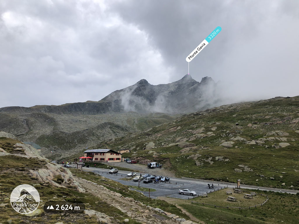
At an elevation of 3,220 m (10,564 ft.), and with a prominence of 340 m (1,115 ft.), Monte Gavia forms part of the Southern Rhaetian Alps. It is situated close to the city of Sondrio, in the Lombardy region of Italy.
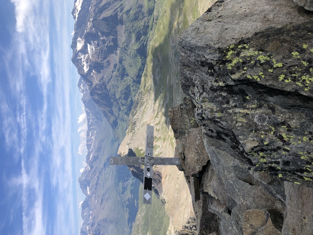
Hiking Monte Gavia consists of two parts. The hike starts on a military mule track that is well-maintained and then proceeds to the second part that is more demanding, with crags and steep inclines. Visitors would do well to have a bit of prior climbing experience for the second half. However, no sophisticated climbing equipment is required; a pair of good walking shoes and a helmet is sufficient.
The nearest mountain hut is Rifugio Bonetta located 1 621m/5 317ft SE of the summit.
By elevation Monte Gavia is
# 3 out of 85 in the Sobretta-Gavia Group # 100 out of 370 in Parco Nazionale dello Stelvio - Nationalpark Stilfser Joch # 32 out of 1118 in Brescia
By prominence Monte Gavia is
# 39 out of 1160 in the Southern Rhaetian Alps # 6 out of 85 in the Sobretta-Gavia Group # 22 out of 370 in Parco Nazionale dello Stelvio - Nationalpark Stilfser Joch # 34 out of 1118 in Brescia # 53 out of 973 in Sondrio
We use GPS information embedded into the photo when it is available.
3D mountains overlay
Adjust mountain panorama to perfectly match your photos because recorded by camera photo position might be imprecise.
Move tool
Rotate tool
Zoom
More customization
Choose which peak labels should make into the final photo and what photo title should be.
Next
Photo Location
Satellitte
Flat map
Relief map
Latitude
Longitude
Altitude
OR
Latitude
°'''
Longitude
°'''
Apply
Register Peak
Peak Name
Latitude
Longitude
Altitude
Register
Teleport
PeakVisor
This 3D model of Sagarmatha National Park in Nepal was made using the PeakVisor app topographic data. The mobile app features higher precision models worldwide, more topographic details, and works offline. Download PeakVisor maps today.
Download OBJ model
PeakVisor
The download should start shortly. If you find it useful please consider supporting the PeakVisor app.
PeakVisor for iOS and Android
Be a superhero of outdoor navigation with state-of-the-art 3D maps and mountain identification in the palm of your hand!


.jpg)


