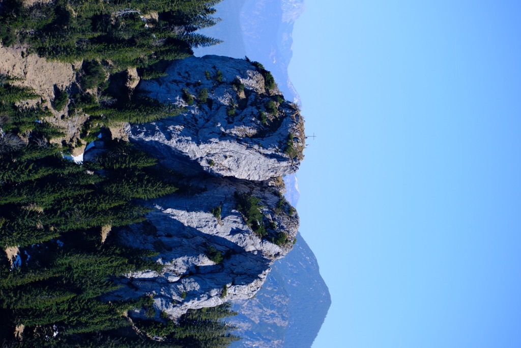
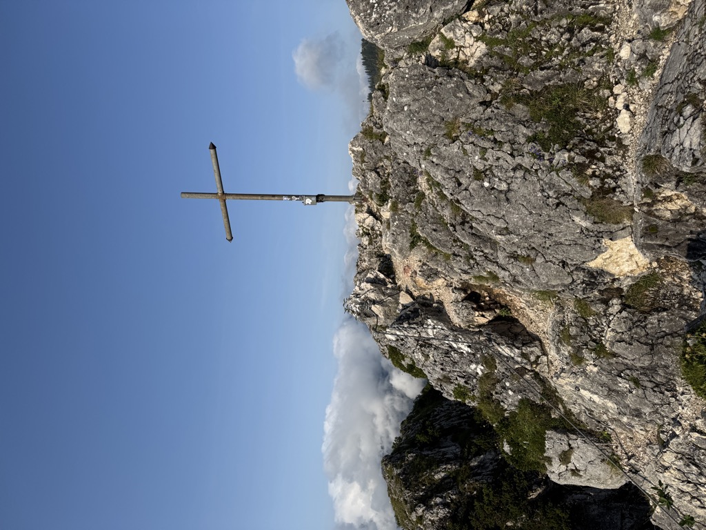
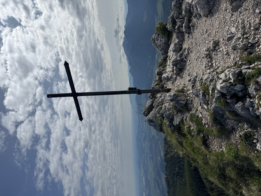
Ettaler Manndl is a 1636-meter-high mountain of the Ammergau Alps in Bavaria, Germany. It is close to the town of Oberammergau, above Ettal, and about 10 km north of Garmisch-Partenkirchen. It is a sub-peak of the Laber mountain at 1681 m.
The mountain is a popular destination for hiking and in Winter, skiing is also possible. A cable car (the Laberbergbahn) brings visitors up to just below the summit of the Laber, from where a variety of footpaths lead. There is also a restaurant at the top cable car station.
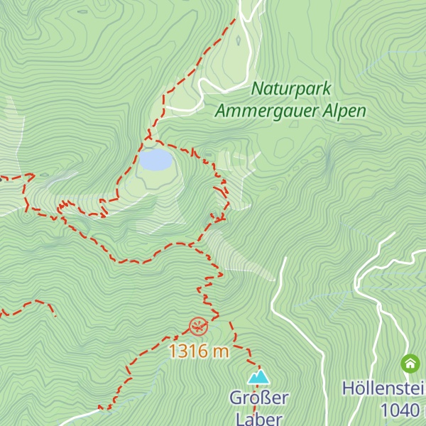
There's a demanding alpine trail (T5) called Klettersteig Ettaler Mandl leading to the summit. Ettaler Manndl is one of the 1 peaks along the BT 10 Ettaler Mandl.
The nearest mountain hut is Kilianshütte located 534m/1 752ft S of the summit.
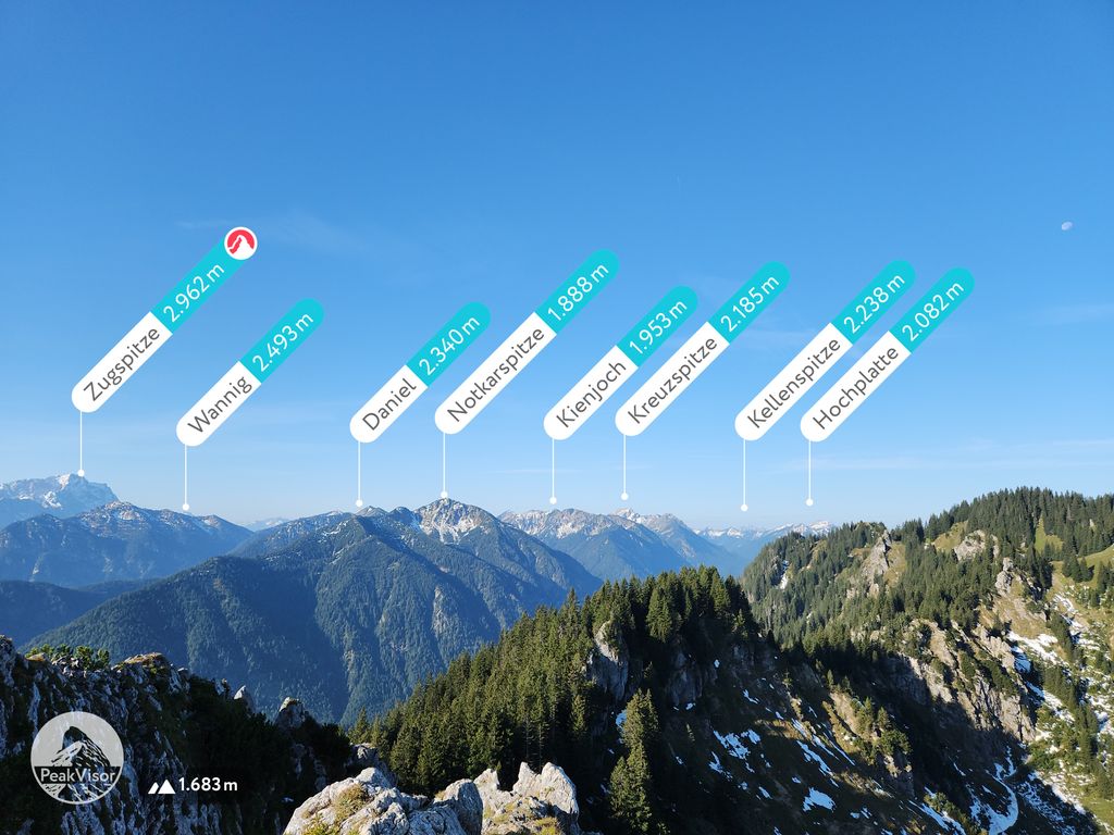
By elevation Ettaler Manndl is
# 37 out of 95 in Naturpark Ammergauer Alpen
By prominence Ettaler Manndl is
# 22 out of 95 in Naturpark Ammergauer Alpen # 97 out of 442 in Landkreis Garmisch-Partenkirchen # 77 out of 378 in the Ammergau Alps
We use GPS information embedded into the photo when it is available.
3D mountains overlay
Adjust mountain panorama to perfectly match your photos because recorded by camera photo position might be imprecise.
Move tool
Rotate tool
Zoom
More customization
Choose which peak labels should make into the final photo and what photo title should be.
Next
Photo Location
Satellitte
Flat map
Relief map
Latitude
Longitude
Altitude
OR
Latitude
°'''
Longitude
°'''
Apply
Register Peak
Peak Name
Latitude
Longitude
Altitude
Register
Teleport
PeakVisor
This 3D model of Sagarmatha National Park in Nepal was made using the PeakVisor app topographic data. The mobile app features higher precision models worldwide, more topographic details, and works offline. Download PeakVisor maps today.
Download OBJ model
PeakVisor
The download should start shortly. If you find it useful please consider supporting the PeakVisor app.
PeakVisor for iOS and Android
Be a superhero of outdoor navigation with state-of-the-art 3D maps and mountain identification in the palm of your hand!