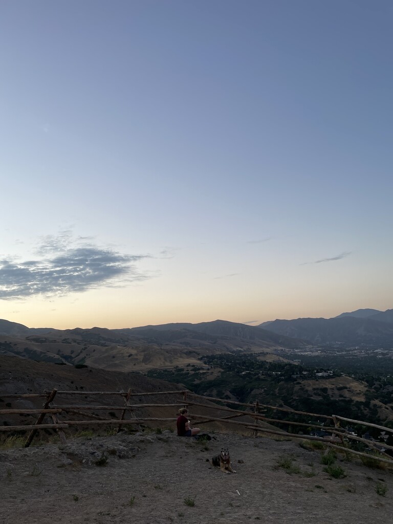
Ensign Peak ( EN-syne) is a dome-shaped peak in the hills just north of downtown Salt Lake City, Utah. The peak and surrounding area are part of Ensign Peak Nature Park, which is owned by the city. The hill's summit is accessed via a popular hiking trail, and provides an elevated view of Salt Lake Valley and Great Salt Lake.
The peak is historically significant as it was a landmark during the establishment of Salt Lake City in July 1847, and also holds religious significance for members of the Church of Jesus Christ of Latter-day Saints (LDS Church). Because of this importance, in 1934, a stone monument was built atop the summit and interpretive signage was added when the nature park was developed in 1996.
Culturally, the significance of the peak has inspired a number of literary works, including the hymn "High on the Mountain Top." Several businesses and organizations, often affiliated with the LDS Church, have names inspired by the peak; such as Ensign College, Ensign Peak Advisors, and the Ensign Peak Foundation.
There's a trail called Ensign Peak Trail leading to the summit.
We use GPS information embedded into the photo when it is available.
3D mountains overlay
Adjust mountain panorama to perfectly match your photos because recorded by camera photo position might be imprecise.
Move tool
Rotate tool
Zoom
More customization
Choose which peak labels should make into the final photo and what photo title should be.
Next
Photo Location
Satellitte
Flat map
Relief map
Latitude
Longitude
Altitude
OR
Latitude
°'''
Longitude
°'''
Apply
Register Peak
Peak Name
Latitude
Longitude
Altitude
Register
Teleport
PeakVisor
This 3D model of Sagarmatha National Park in Nepal was made using the PeakVisor app topographic data. The mobile app features higher precision models worldwide, more topographic details, and works offline. Download PeakVisor maps today.
Download OBJ model
PeakVisor
The download should start shortly. If you find it useful please consider supporting the PeakVisor app.
PeakVisor for iOS and Android
Be a superhero of outdoor navigation with state-of-the-art 3D maps and mountain identification in the palm of your hand!