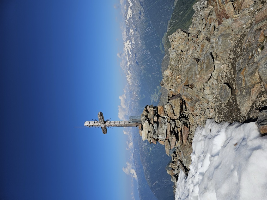
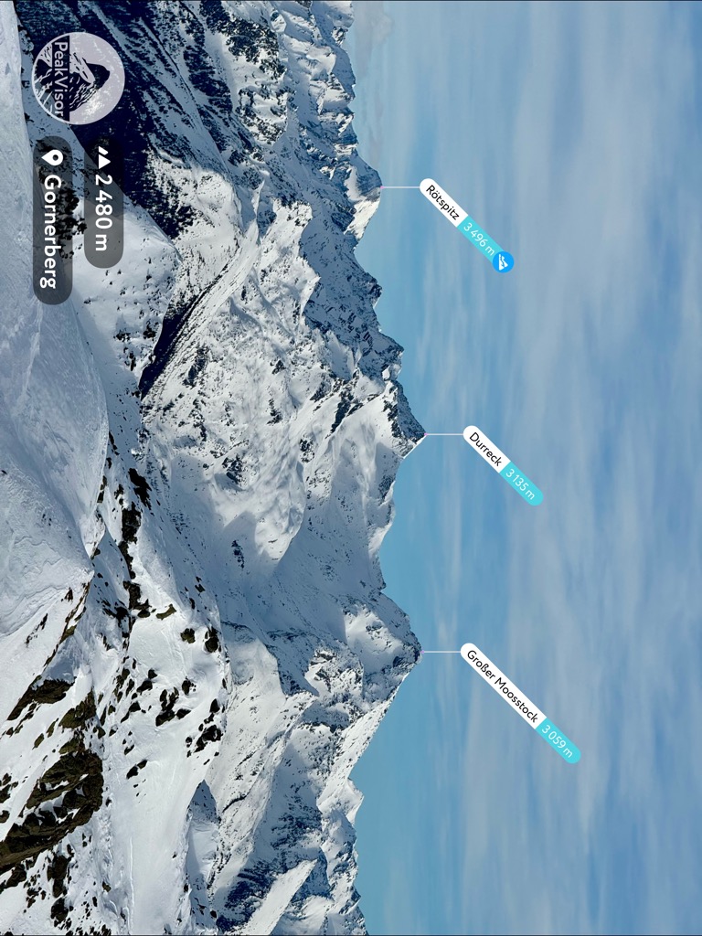
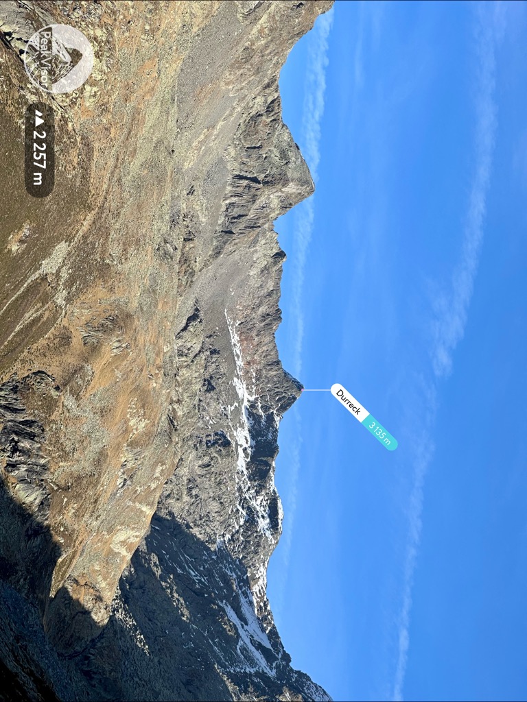
The Durreck (3,135 m, also called the Durreckspitze, Italian: Cima Dura) is the highest mountain in the Durreck Group, a South Tyrolean range that divides the Ahrntal valley in the north from the Reintal valley in the south.
The nearest mountain hut is Unterrieseralm located 1 906m/6 253ft SE of the summit.
By elevation Durreck is
# 62 out of 552 in the Venediger Group
By prominence Durreck is
# 3 out of 552 in the Venediger Group # 15 out of 3311 in the Western Tauern Alps # 50 out of 3872 in Trentino-Alto Adige/Südtirol # 27 out of 2178 in South Tyrol # 8 out of 1786 in the Hohe Tauern
We use GPS information embedded into the photo when it is available.
3D mountains overlay
Adjust mountain panorama to perfectly match your photos because recorded by camera photo position might be imprecise.
Move tool
Rotate tool
Zoom
More customization
Choose which peak labels should make into the final photo and what photo title should be.
Next
Photo Location
Satellitte
Flat map
Relief map
Latitude
Longitude
Altitude
OR
Latitude
°'''
Longitude
°'''
Apply
Register Peak
Peak Name
Latitude
Longitude
Altitude
Register
Teleport
PeakVisor
This 3D model of Sagarmatha National Park in Nepal was made using the PeakVisor app topographic data. The mobile app features higher precision models worldwide, more topographic details, and works offline. Download PeakVisor maps today.
Download OBJ model
PeakVisor
The download should start shortly. If you find it useful please consider supporting the PeakVisor app.
PeakVisor for iOS and Android
Be a superhero of outdoor navigation with state-of-the-art 3D maps and mountain identification in the palm of your hand!