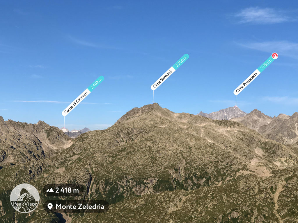
At an elevation of 2,708 m (8,885 ft.), and with a prominence of 243 m (797 ft.), Cima Serodoli forms part of the Southern Rhaetian Alps. It is situated near the town of Madonna di Campiglio, in Trento Province of the South Tyrol region, Italy.
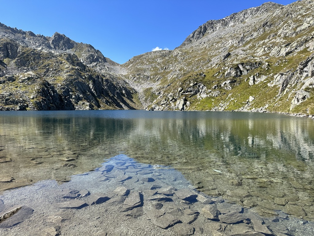
Cima Serodoli offers some of the best views over Madonna di Campiglio and its surroundings and offers excellent skiing options. Cima Serodoli provides a snowshoeing hike, taking mountaineers from Lake Nambino to Cima Serodoli on the eastern slopes and ending the trek at Lake Serodoli, which is situated on a beautiful plateau. The route appears different for each hike, with ever-changing snowfalls.
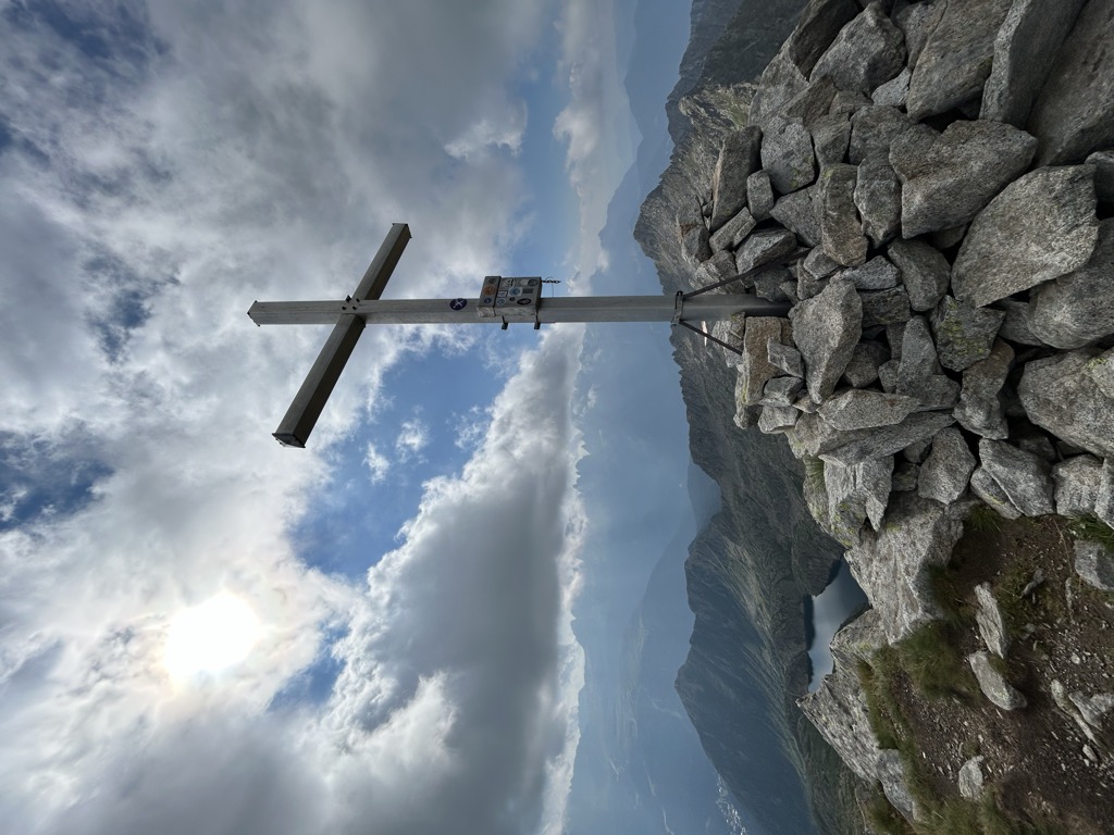
There's a trail leading to the summit.
The nearest mountain hut is Bivacco Serodoli located 964m/3 164ft NE of the summit.
By prominence Cima Serodoli is
# 73 out of 1160 in the Southern Rhaetian Alps # 21 out of 541 in the Adamello-Presanella Alps # 19 out of 307 in Parco naturale dell'Adamello-Brenta
We use GPS information embedded into the photo when it is available.
3D mountains overlay
Adjust mountain panorama to perfectly match your photos because recorded by camera photo position might be imprecise.
Move tool
Rotate tool
Zoom
More customization
Choose which peak labels should make into the final photo and what photo title should be.
Next
Photo Location
Satellitte
Flat map
Relief map
Latitude
Longitude
Altitude
OR
Latitude
°'''
Longitude
°'''
Apply
Register Peak
Peak Name
Latitude
Longitude
Altitude
Register
Teleport
PeakVisor
This 3D model of Sagarmatha National Park in Nepal was made using the PeakVisor app topographic data. The mobile app features higher precision models worldwide, more topographic details, and works offline. Download PeakVisor maps today.
Download OBJ model
PeakVisor
The download should start shortly. If you find it useful please consider supporting the PeakVisor app.
PeakVisor for iOS and Android
Be a superhero of outdoor navigation with state-of-the-art 3D maps and mountain identification in the palm of your hand!