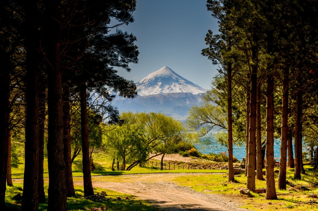
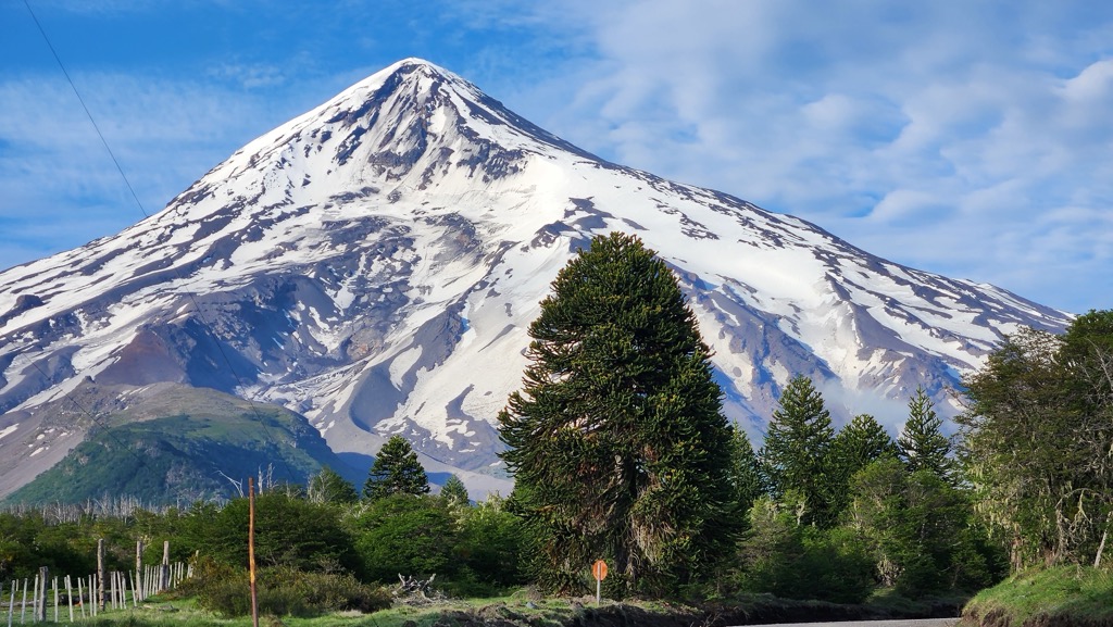
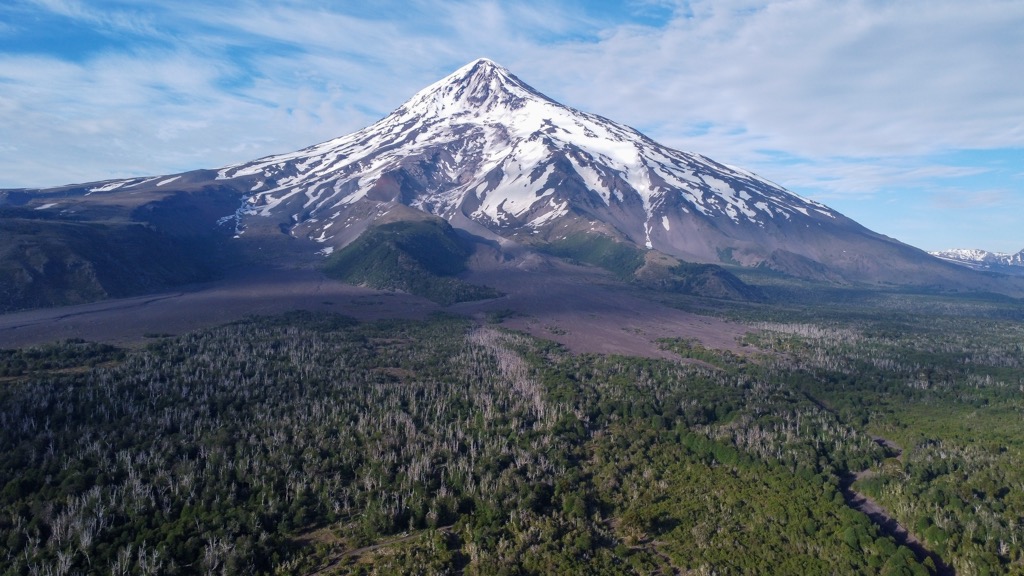
At an elevation of 3,747 m (12,293 ft.), and with a prominence of 2,631 m (8,631 ft.), Ultra mountain, Volcán Lanín, is an ice-clad, cone-shaped stratovolcano. It borders the countries of Argentina and Chile.
Volcán Lanín is significant to Argentinian heritage. Strangely enough, it makes an appearance in the National Anthem of Argentina, as well as on the flag of the Province of Neuquén. Mount Lanin furthermore, forms part of two National Parks – Villarrica in Chile and Lanín in Argentina.
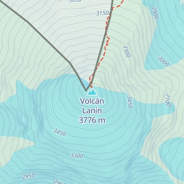
There's a difficult alpine trail (T6) leading to the summit.
By elevation Volcán Lanín is
# 1 out of 200 in Reserva de la Biósfera Araucarias # 1 out of 452 in Reserva de Biósfera Andina Norpatagonica # 1 out of 15 in Zona Nucleo Volcán Lanín # 3 out of 1144 in Neuquén Province # 1 out of 146 in Provincia de Cautín # 1 out of 104 in Lanín National Park # 1 out of 369 in Región de la Araucanía # 1 out of 11 in Villarrica National Park
By prominence Volcán Lanín is
# 1 out of 200 in Reserva de la Biósfera Araucarias # 2 out of 452 in Reserva de Biósfera Andina Norpatagonica # 1 out of 15 in Zona Nucleo Volcán Lanín # 1 out of 1144 in Neuquén Province # 7 out of 10580 in Chile # 1 out of 146 in Provincia de Cautín # 1 out of 104 in Lanín National Park # 11 out of 8452 in Argentina # 1 out of 369 in Región de la Araucanía # 1 out of 11 in Villarrica National Park # 13 out of 16361 in the Andes (Chile, Argentina)
We use GPS information embedded into the photo when it is available.
3D mountains overlay
Adjust mountain panorama to perfectly match your photos because recorded by camera photo position might be imprecise.
Move tool
Rotate tool
Zoom
More customization
Choose which peak labels should make into the final photo and what photo title should be.
Next
Photo Location
Satellitte
Flat map
Relief map
Latitude
Longitude
Altitude
OR
Latitude
°'''
Longitude
°'''
Apply
Register Peak
Peak Name
Latitude
Longitude
Altitude
Register
Teleport
PeakVisor
This 3D model of Sagarmatha National Park in Nepal was made using the PeakVisor app topographic data. The mobile app features higher precision models worldwide, more topographic details, and works offline. Download PeakVisor maps today.
Download OBJ model
PeakVisor
The download should start shortly. If you find it useful please consider supporting the PeakVisor app.
PeakVisor for iOS and Android
Be a superhero of outdoor navigation with state-of-the-art 3D maps and mountain identification in the palm of your hand!