Scan the QR code and open PeakVisor on your phone
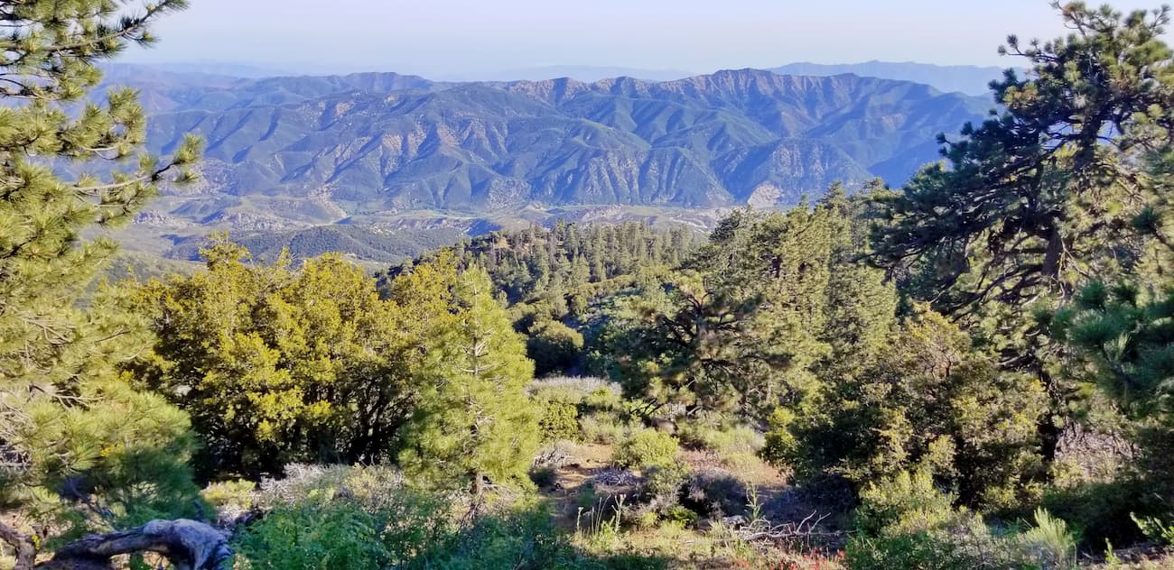
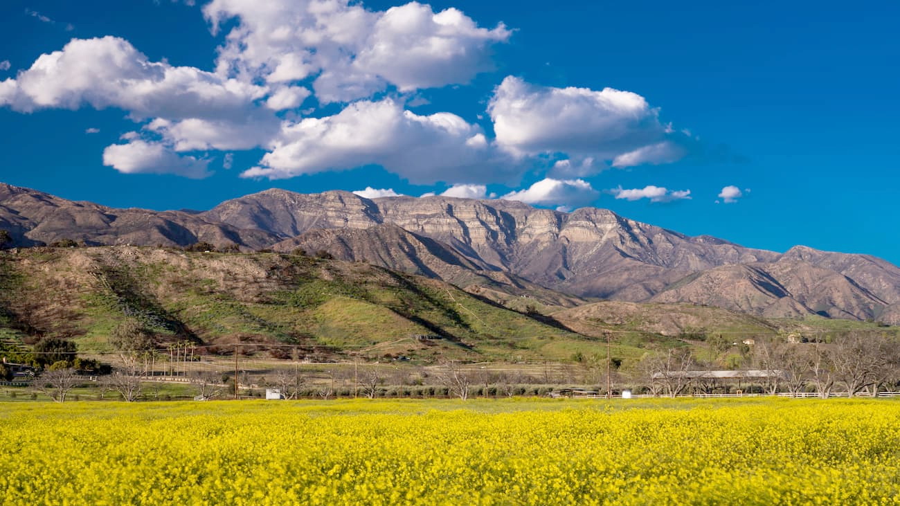
The rugged Sespe Wilderness is in the southern part of the US state of California. It is home to 18 named mountains, the highest of which is Reyes Peak (7,497ft/2,285m), and the most prominent of which is Hines Peak (6,703ft/2,047n).
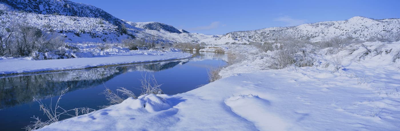
The Sespe Wilderness contains 219,700 acres (88,900 ha) of permanently protected federal land within the Los Padres National Forest. It covers sections of Ventura County and is located to the west of Santa Barbara.
The Sespe Wilderness is situated among a large patchwork of private and publicly owned land in Southern California. The wilderness is just east of the Dick Smith Wilderness, the Matilija Wilderness, and the San Rafael Wilderness of the San Rafael Mountains.
Additionally, it is to the south of the Chumash Wilderness and the Hungry Valley State Vehicular Recreation Area. Moreover, the range is west of the San Gabriel Mountain National Monument and the San Gabriel Wilderness.
The southeasternmost part of the wilderness is also home to the Sespe Condor Sanctuary, which was established in 1947 to help protect the endangered California condor. Interestingly, the first two condors re-released into the wild after decades of conservation efforts were introduced in the Sespe Condor Sanctuary, which is home to prime habitat for the birds. However, public access to the Sanctuary is forbidden, in an effort to better protect the condors.
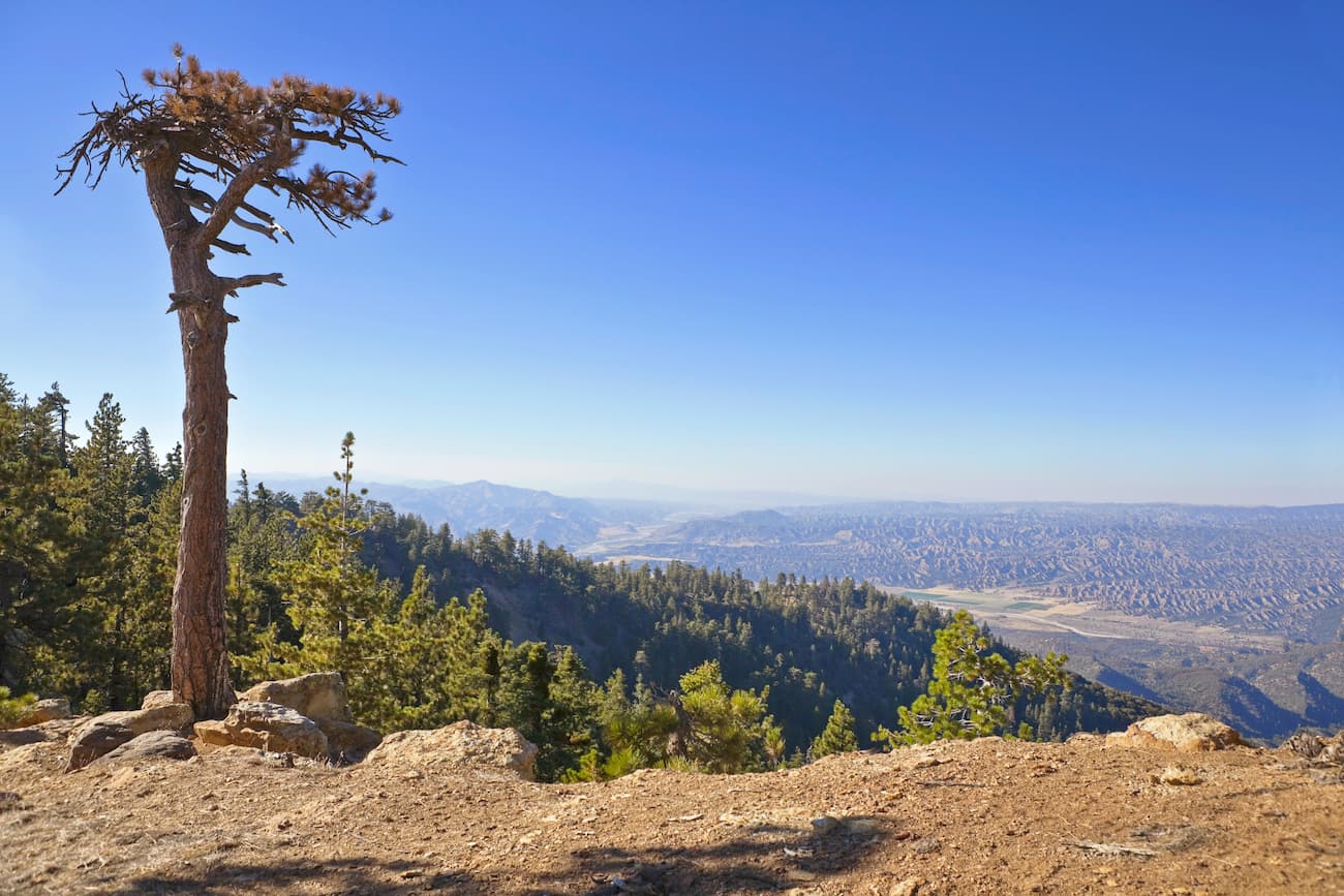
The mountains of the Sespe Wilderness are part of the California Ranges, which extend throughout the central and southern parts of coastal California. These ranges formed as a result of tectonic activity throughout the region’s many fault lines, of which the San Andreas Fault is perhaps the best known.
Throughout the region, visitors can see remnants of various rocky upthrusts and jagged peaks. The wilderness is also home to large cliffs of sandstone, some of which also feature petroglyphs from the region’s original inhabitants.
Some of the best-known peaks in the Sespe Wilderness include Reyes Peak, Thorn Peak, McDonald Peak, San Rafael Peak, and Stewart Mountain.
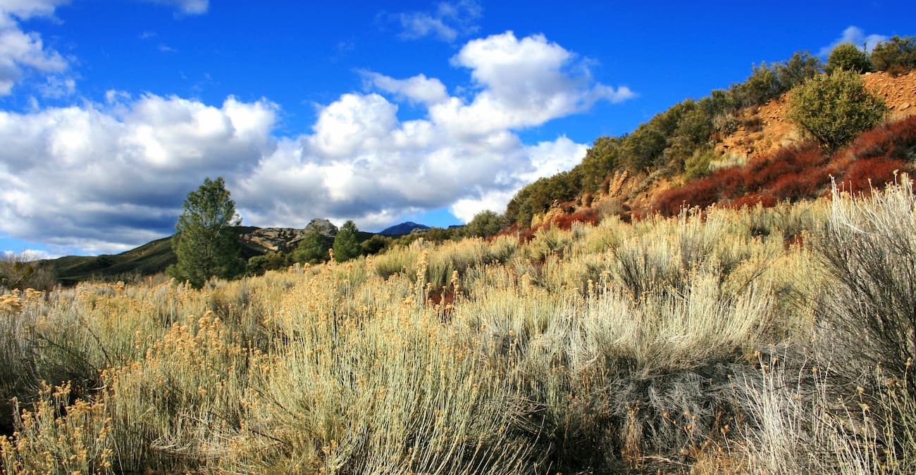
The Sespe Wilderness is dominated by chaparral, a type of fire-resistant shrubland, which covers about 5% of the state of California. These ecosystems consist mostly of manzanita, scrub oak, and chamise.
However, it is also home to some small stands of California oak woodland, which are mostly comprised of coast live oak and canyon live oak. Additionally, the Sespe Wilderness also has small riparian areas, particularly around the Wild and Scenic Sespe Creek.
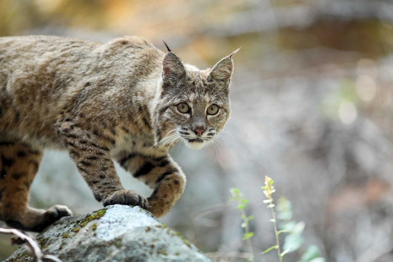
Besides the California condor, the wilderness is also home to an abundance of wildlife. This includes deer, bobcats, rattlesnakes, mountain lions, coyotes, and black bears. There are also quite a few red-tailed hawks and golden eagles.
The area in and around the Sespe Wilderness has been home to humans for at least the last 10,000 years. The Chumash people are the original inhabitants of the region, and once lived around the southern and central coastal areas of California.
However, first European settlers didn’t arrive until the 1770s, when the Spanish established a number of missions throughout the state. This included Mission Santa Barbara just south of the Sespe Wilderness, which was created in 1786 by Padre Fermín Lasuén.
These missions were established for the purpose of converting the native inhabitants of the region, many of whom were forced into labor at the mission itself. Forced labor, introduced diseases, as well as frequent violence at the hands of the Spanish, led to the removal of the Chumash from their land and the decimation of their population.
The Los Padres National Forest was created out of a number of smaller forests and forest preserves in 1936. This placed the land under the jurisdiction of the US National Forest Service, who manage it for both recreational and commercial purposes.
The Sespe Wilderness, though, was not created until 1992, when US Congress passed the Los Padres Condor Range and River Protection Act. Through this same legislation, Congress also established the Garcia, Matilija, Silver Peak, and Chumash Wildernesses.
The Sespe Wilderness is a popular hiking destination. Here are some good trails to check out:
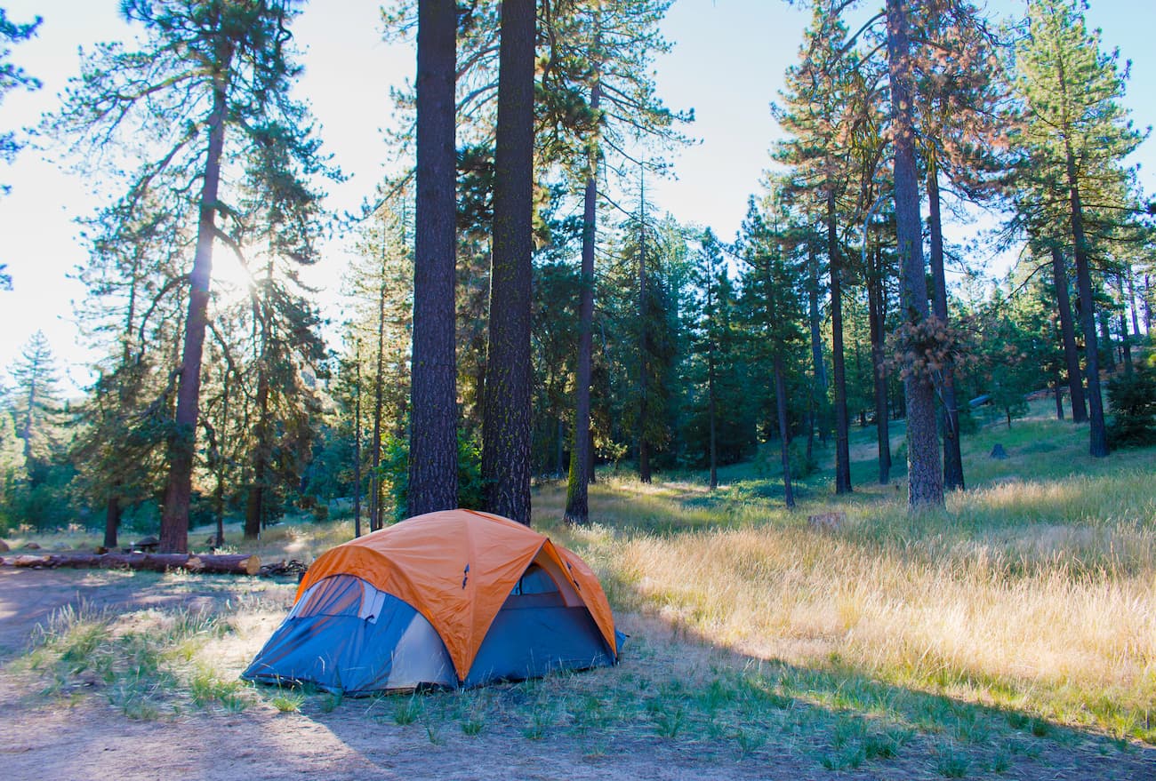
The Sespe Hot Springs is a natural hot spring in the heart of the Sespe Wilderness. Hiking to the hot springs along the Sespe River Trail is a 16.8 mile (27km) one-way adventure that follows the river for much of its course. There are plenty of camping opportunities around, and some good swimming pools, particularly during the spring.
The Reyes Peak Trail is a 1.8 mile (2.9km) out and back trail that takes hikers to the summit of Reyes Peak. The trailhead is usually open between May 1st and December 15th and there is normally water available at Haddock Camp, even during the summer months.
The Gene Marshall-Piedra Blanca National Recreation Trail is a point to point hiking path that starts at the Piedra Blanca Trailhead and the Reyes Creek Trailhead. It follows along a number of different ridges and past multiple campsites, including Upper Reyes Camp, Beartrap Camp, Haddock Camp, and Three Mile Camp, many of which have reliable water. The trail is a great way to venture into the heart of the Sespe Wilderness for experienced hikers.
Looking for a great place to stay before or after your trip into the Sespe Wilderness? Here are some of your best options:
Santa Barbara is located to the west of the Sespe Wilderness along the Pacific Coast. The city is home to over 91,000 people and is a well-known beach resort destination.
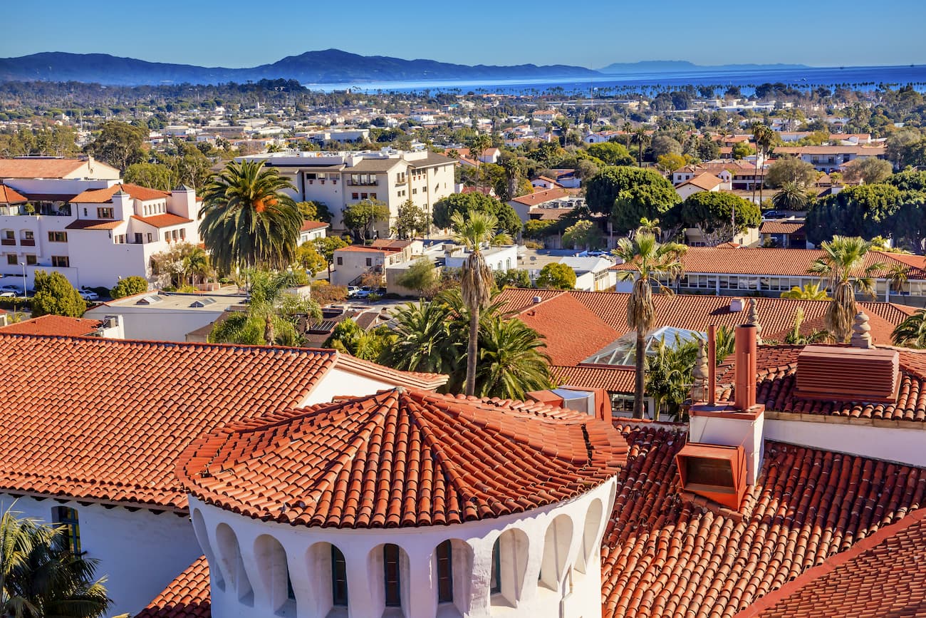
Santa Barabara provides good road access to the Sespe Wilderness, along with other parts of the Los Padres National Forest. It is connected by road and train to other major cities in California and is also home to a regional airport with flights around the western US.
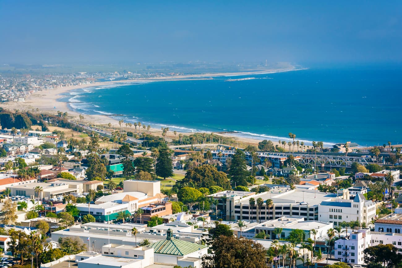
The city of Ventura is located to the southwest of the Sespe Wilderness and it has over 109,000 residents. Ventura is a popular surfing location, which draws in beachgoers from around the world.
US Route 101 travels through Ventura, connecting it with the other major population centers along the California Central Coast. It is also the start of State Route 33, which offers links to Ojai and the Sespe Wilderness.
Ojai is located just south of the western edge of the Sespe Wilderness. It is a fairly small city, by California standards, with just over 7,400 residents. The city is best known for its boutique shops and hotels because chain stores are not allowed under city ordinance.
Ojai is accessible by road only, but there are buses from Ventura. It’s also just a short drive from the Santa Barbara Airport to Ojai, where you can easily access the Sespe Wilderness.
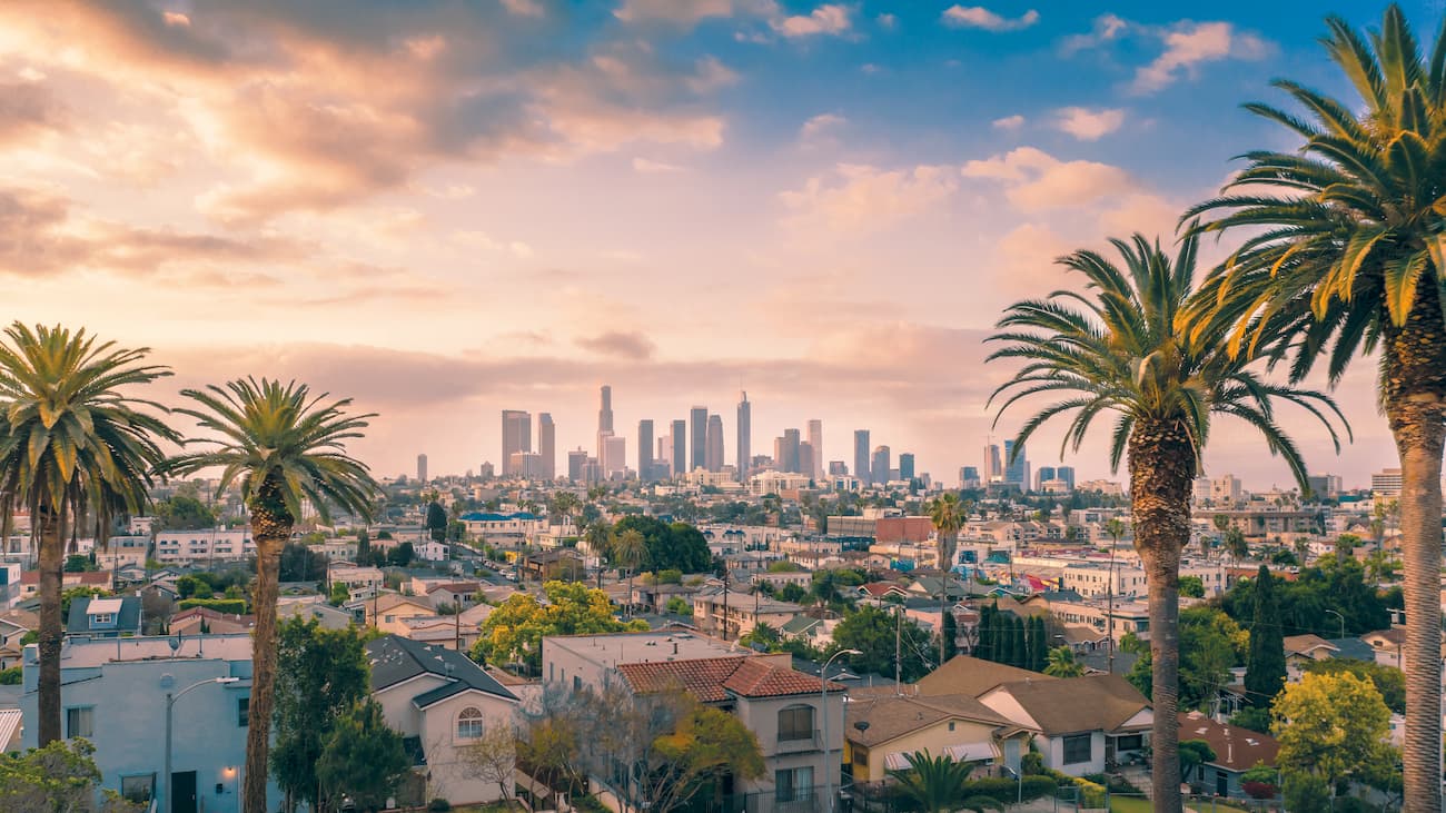
Los Angeles is the largest city in California and the second-largest in the United States with over 4 million residents. Although LA is quite far south of the Sespe Wilderness, it is perhaps the best place to start your journey in Southern California if you’re coming from further afield.
Los Angeles is home to an intricate and busy network of highways and is also a stop along multiple Amtrak train lines. LA also has five major commercial airports, one of which, LAX, is the third busiest airport in the world.