Scan the QR code and open PeakVisor on your phone
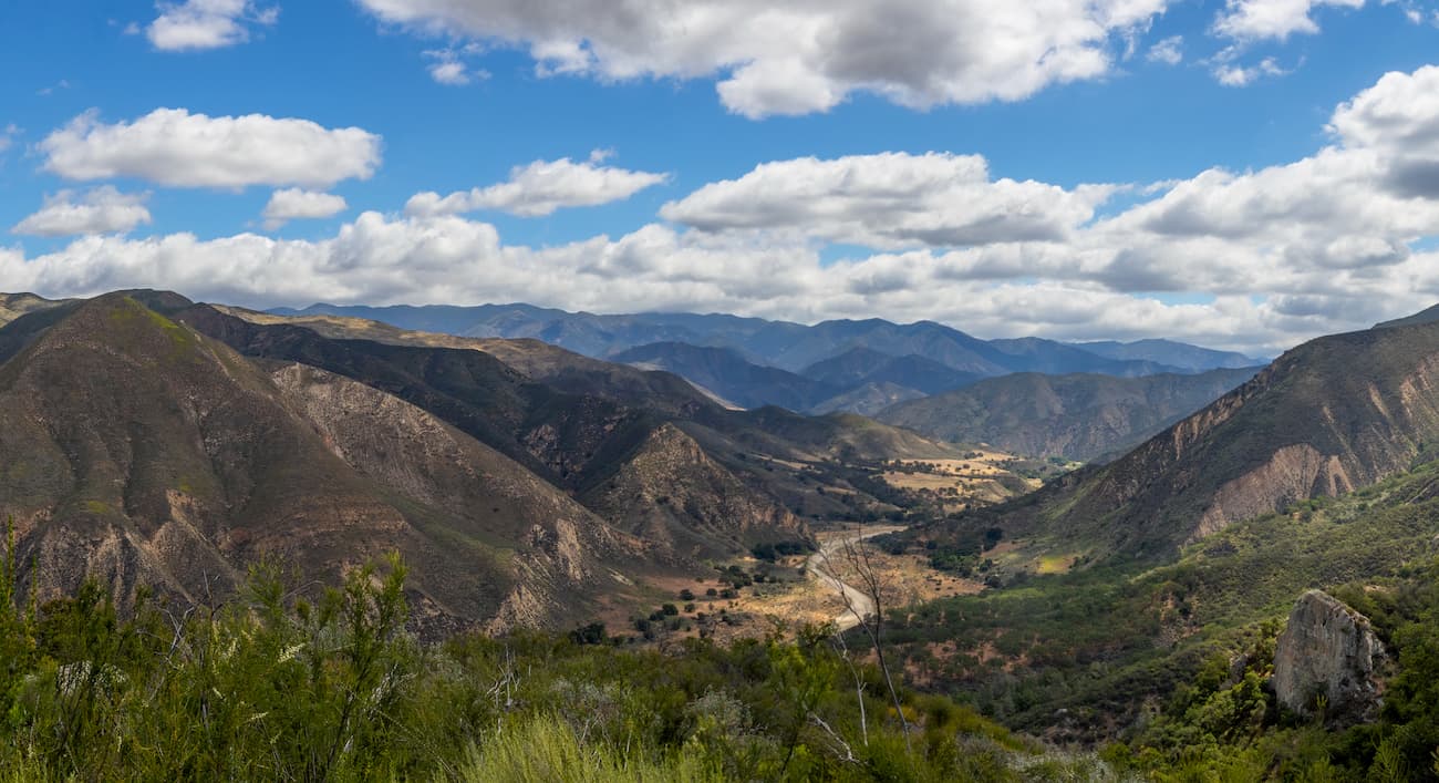
Situated within the northernmost section of the San Rafael Mountains, the San Rafael Wilderness is a federally protected area in the US state of California. The wilderness contains 308 square miles (799 sq. km) of land and is home to 5 named mountains, the highest and most prominent of which is San Rafael Mountain (6,578ft/2,005m).
The San Rafael Wilderness is located in Santa Barbara County along the California Central Coast. It is part of the Los Padres National Forest and is bordered to the north by the Cuyama Valley.
The Dick Smith Wilderness forms the San Rafael Wilderness’ eastern border. Meanwhile, the Santa Ynez Valley and the city of Santa Barbara are just to the south. The city of Santa Maria and the San Lucia Range are to the west of the San Rafael Wilderness.
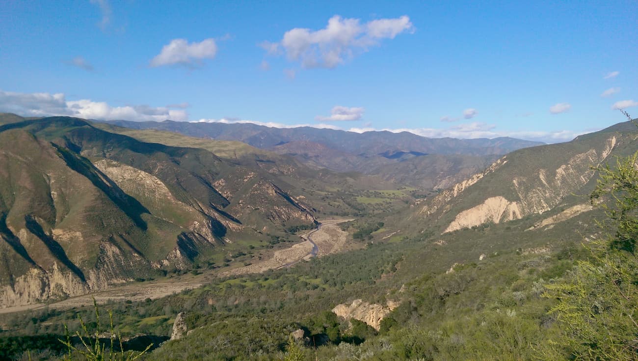
Both the Sisquoc River and Manzana Creek flow through the San Rafael Wilderness before they drain into the Pacific Ocean near the city of Santa Maria. Elevations within the San Rafael Wilderness vary quite drastically, from the highs of San Rafael Mountain and Salmon Peak (6,227ft/1,898m) to Manzanita Mountain (3,179ft/969m) and Wheat Peak (2,428ft/740m).
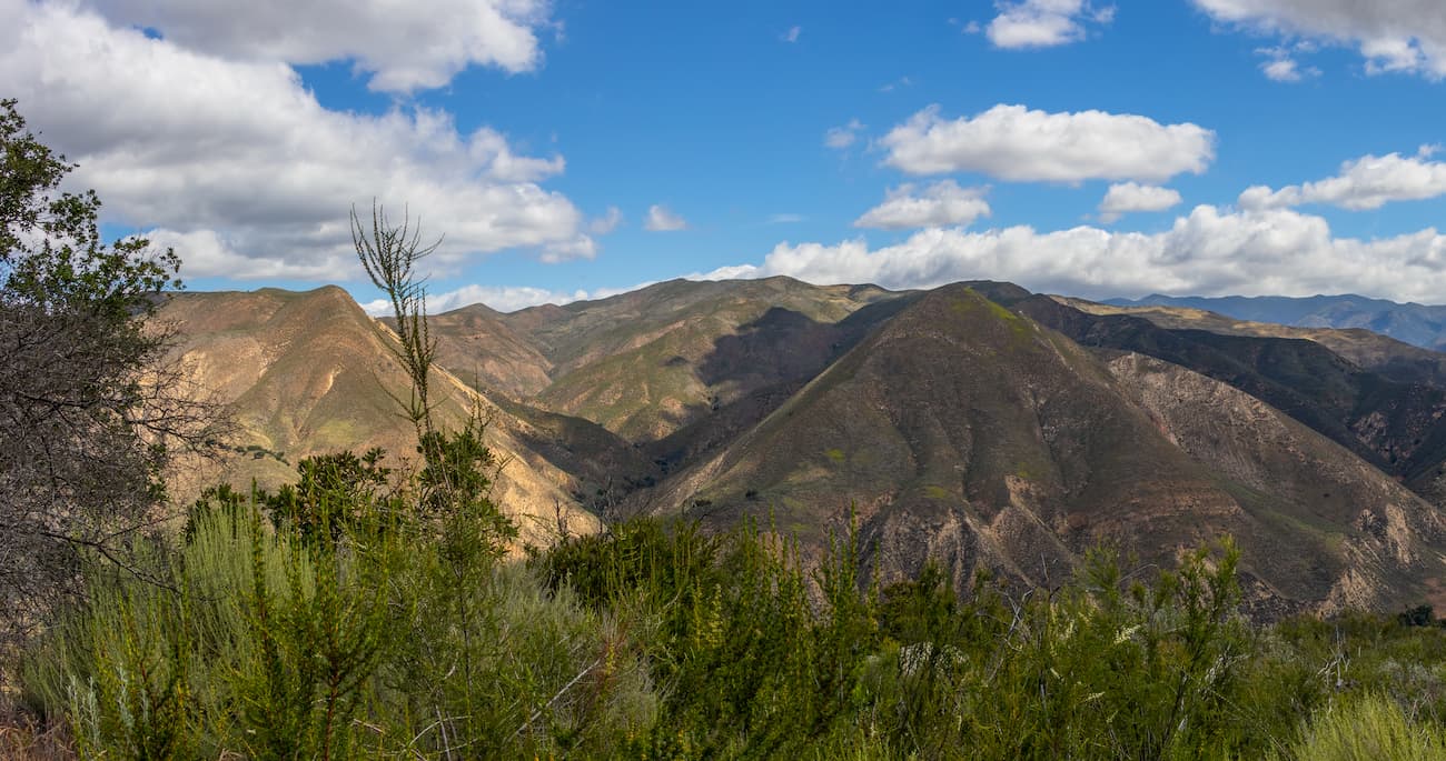
The San Rafael Wilderness and the San Rafael Mountains are part of the California Ranges, which span most of the coast of southern and central California. Geologically, the region is mostly sedimentary, dating to the Miocene and Cretaceous periods.
Most of the mountains within the region were created through the uplift of crustal blocks along various fault lines. The Big Pine Fault and the Nacimiento Fault run through the wilderness, paralleling the crest of the San Rafael Mountains.
One of the most unique features within the Wilderness is Hurricane Deck, a 15 mile (24km) long slab of sandstone that divides the drainage of the Manzana and Sisquoc Rivers. The slab is a single large deposit of marine sediments that dates back to the Miocene.
Additionally, the Wilderness is located just north of an outcrop of the Franciscan Formation. The Franciscan Formation (also known as the Franciscan Complex) is a massive terrane of rocks that’s found throughout the California Ranges. It is mostly greywacke sandstones, conglomerates, and shales, all of which have undergone a small amount of metamorphism.
The region used to be home to a number of small mining operations, most of which were in search of mercury. Abandoned mining buildings and piles of tailings from these activities are still visible today.
The San Rafael Wilderness has a Mediterranean climate, which involves hot summers and milder, rainier winters than what you’d find closer to the coast. Within the range, you can find snow on the highest peaks during the winter months, but rain is uncommon during the summer and fall.
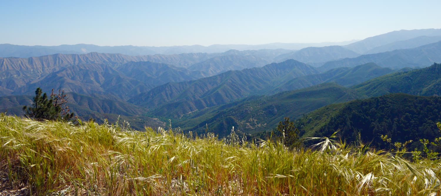
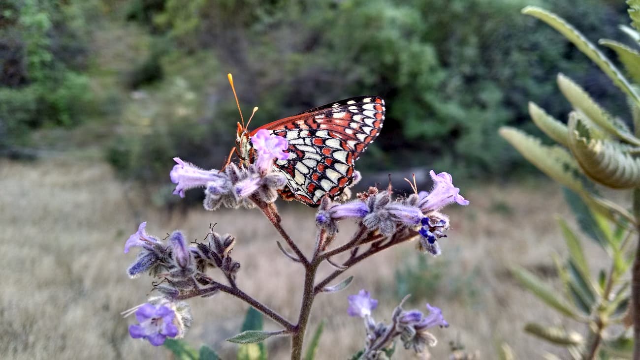
Like the rest of the California Ranges, the San Rafael Wilderness is dominated by fire-resistant chaparral shrubs and brush at its lowest elevations. As you move higher into the mountains, the flora changes into a unique montane chaparral and woodlands ecosystem, which is found only within southern and central California. This part of the wilderness is mostly manzanita and oak forests.
Even higher up in the mountains, there are mixed evergreen and coniferous forests, which are mostly comprised of Jeffrey pine, singleleaf pinyon pine, sugar pine, ponderosa pine, and white fir. There are also quite a few well-shaded canyons within the wilderness, which create the perfect environment for Douglas-firs, coulter pines, and shade-tolerant oaks.
The southeasternmost part of the San Rafael Wilderness is actually part of the Sisquoc Condor Sanctuary, a known nesting area for the endangered California Condor. The Sanctuary was officially designated in 1937, having been chosen for its rough terrain and plentiful rock ledges, which are a preferred nesting location for the condors.
Due to the condor’s vulnerability and endangered status, the public is prohibited from entering the sanctuary, but you can sometimes see the birds flying overhead. Other wildlife in the region includes black bears, mountain lions, and coyotes.
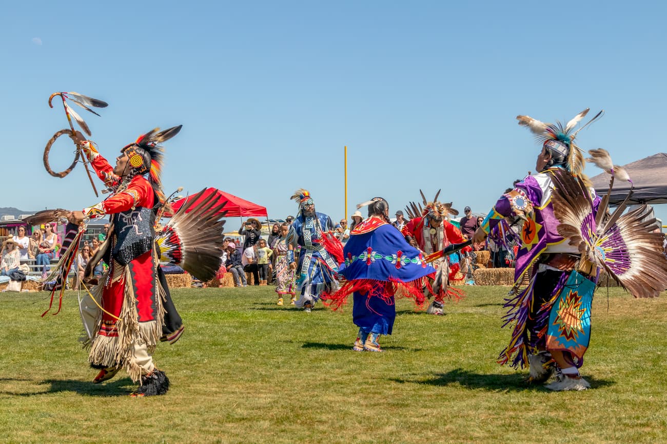
The region that is now the San Rafael Wilderness has been inhabited by humans for at least the last 10,000 years. The Chumash people consider the San Rafael Mountains, the Santa Ynez Valley, parts of the Channel Islands, and a large part of the California Central Coast to be part of their traditional homelands.
Juan Cabrillo, a Spanish sailor, was the first European to encounter the Chumash people, having arrived by ship in 1542. However, Europeans did not try to settle permanently in the area until the 1770s, when the Spanish created multiple missions throughout California in an attempt to forcibly convert the local people to Christianity.
A significant majority of the Chumash population was wiped out through a combination of violence and exposure to European diseases. The Chumash Nation now has a small 127 acre (51.4 hectare) reservation (known as the Santa Ynez Reservation) that’s located just south of the San Rafael Wilderness near the town of Santa Ynez.
Additionally, the San Rafael Wilderness was home to a group of around 200 “faith healers,” who, under the leadership of Hiram Preserved Wheat, settled around the Sisquoc River in the 1880s. They built about 20 different homesteads as well as a schoolhouse, but the majority of the group abandoned the region by the early 1900s.
In 1968, the San Rafael Wilderness was officially designated as a result of the 1964 Wilderness Act. The wilderness grew slightly in 1992 when Congress passed the Los Padres Condor Range and River Protection Act, which added some 75.3 square miles (195 sq. km) to its northwestern border.
Here are some of the best places to hike in the San Rafael Wilderness:
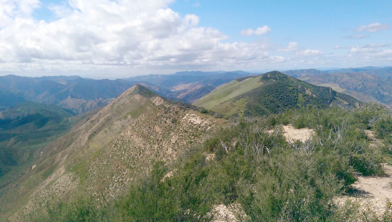
The Hurricane Deck trail is a 13.9 mile (22.4km) out-and-back trail that starts near the Manzana Schoolhouse and climbs to the top of the Hurricane Deck. It follows the main ridgeline of the deck along rough terrain until you reach White Ledge Camp near the Manzana Trail. While the Hurricane Deck Trail isn’t well maintained, it offers stunning views and a chance to walk along a unique geologic formation.
The Sweetwater Trail is a 6.8 mile (10.9km) out-and-back trail that starts off Sierra Madre Road. There is a similarly named path that walks along the shores of Lake Cachuma, but that one is not located within the San Rafael Wilderness. This trail offers stunning views of Sweetwater Canyon and is a fairly popular fishing destination for Cuyama Valley residents.
Looking for a place to stay during your trip to the San Rafael Wilderness? Here are some of your best options:
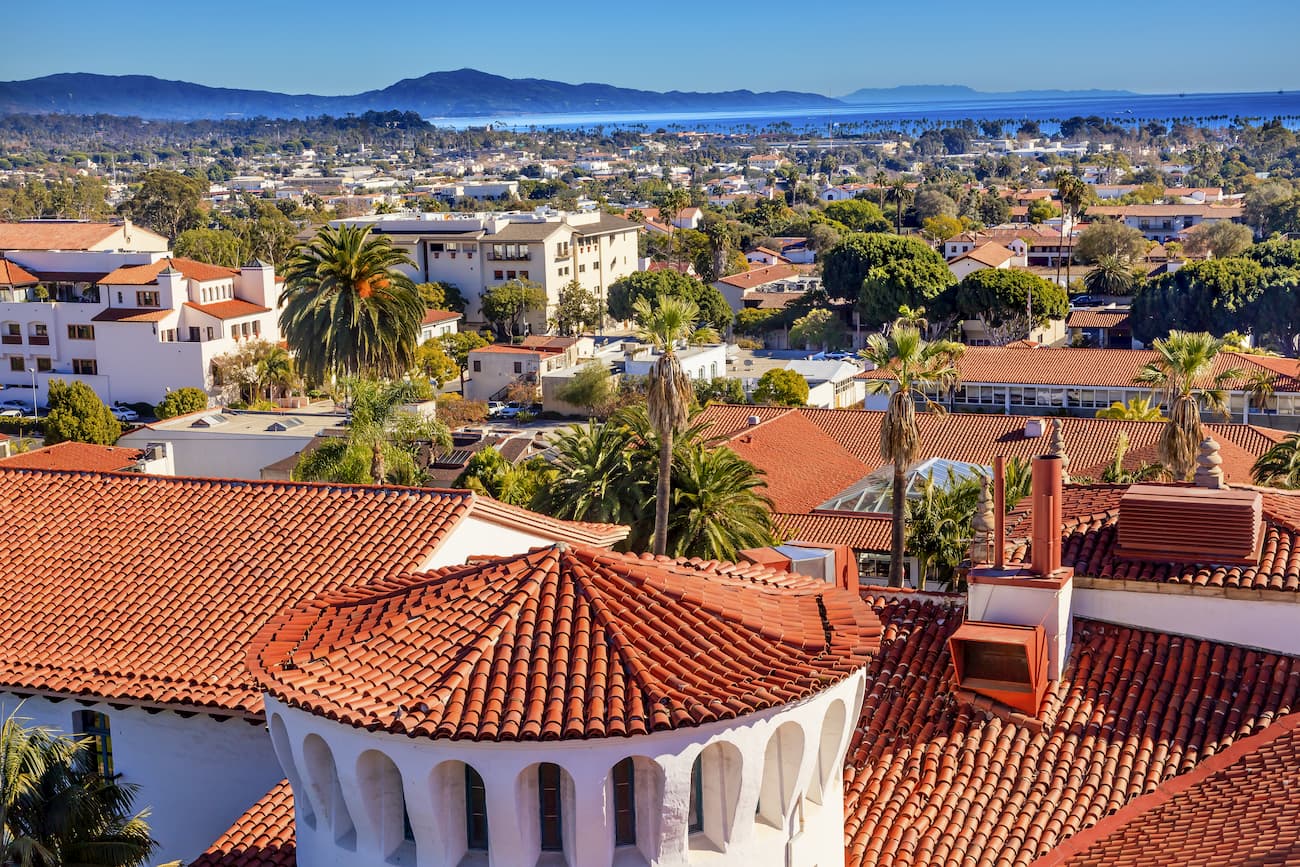
Santa Barbara is a city of some 90,000 people located just a one-hour drive southeast of the San Rafael Wilderness. The city is well connected to Los Angeles and San Diego by train and even has its own airport, which services flights around the American West. It is a very popular tourist destination, thanks to its fantastic beaches and vibrant nightlife.
Santa Maria is located to the west of the San Rafael Mountains and is home to over 100,000 people. It is located along US Route 101 and Highway 1, which both provide good access to the region’s nearby cities and towns. Santa Maria even has a small airport with service to a few major cities around California and major cities in the West.
The Santa Ynez Valley forms the southwestern border of the San Rafael Mountains and the San Rafael Wilderness. It contains 5 different towns - Solvang, Santa Ynez, Buellton, Los Olivos, and Ballard - and has a total population of about 20,000 people.
The Santa Ynez Valley is a popular wine tasting destination, thanks to its abundance of vineyards. It also offers good access to some of the trails on the southern side of the wilderness.
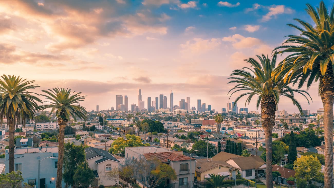
Los Angeles is the largest city in California and the second-largest in the United States, after New York City. LA is home to over 4 million people and is about a 3-hour drive (without traffic) from the heart of the San Rafael Wilderness.
The city has a major international airport and great train/bus links to Santa Barbara and the Santa Ynez Valley, so it’s a good place to start if you’re coming from further afield.