Scan the QR code and open PeakVisor on your phone
The Sangre de Cristo Wilderness area is located in south-central Colorado and encompasses a large segment of the Sangre de Cristo Range. Although the range itself extends far south into the state of New Mexico – in fact half of the range is in that state – the wilderness is confined to the Colorado segment only. It is home to 59 named mountains, of which the highest and most prominent is Crestone Peak. The wilderness spans parts of two national forests – Rio Grande N.F. and San Isabel N.F. There are four fourteeners either within or on the boundary of the wilderness, which also shares a common boundary with the Great Sand Dunes National Preserve, although not with the National Park of the same name.
The Sangre de Cristo Wilderness (the name having been derived from religious significance of the region’s early Spanish settlers meaning “Blood of Christ”) was designated in 1993 pursuant to the Wilderness Act of 1964. Wilderness is best defined by the author of the Act, Howard Zahnister: "A wilderness, in contrast with those areas where man and his own works dominate the landscape, is hereby recognized as an area where the earth and its community of life are untrammeled by man, where man himself is a visitor who does not remain." There are several government agencies that administer the 765 wilderness areas in the United States - U.S. Forest Service, U.S. National Park Service, U.S. Fish and Wildlife Service and the U.S. Bureau of Land Management. As of 2016, this encompassed a total of 109,129,657 acres, or an area larger than the state of California.
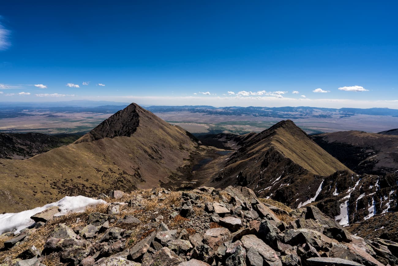
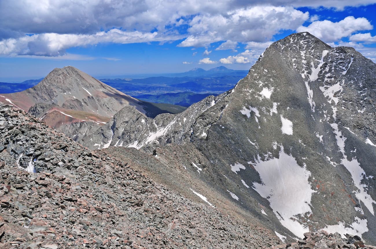
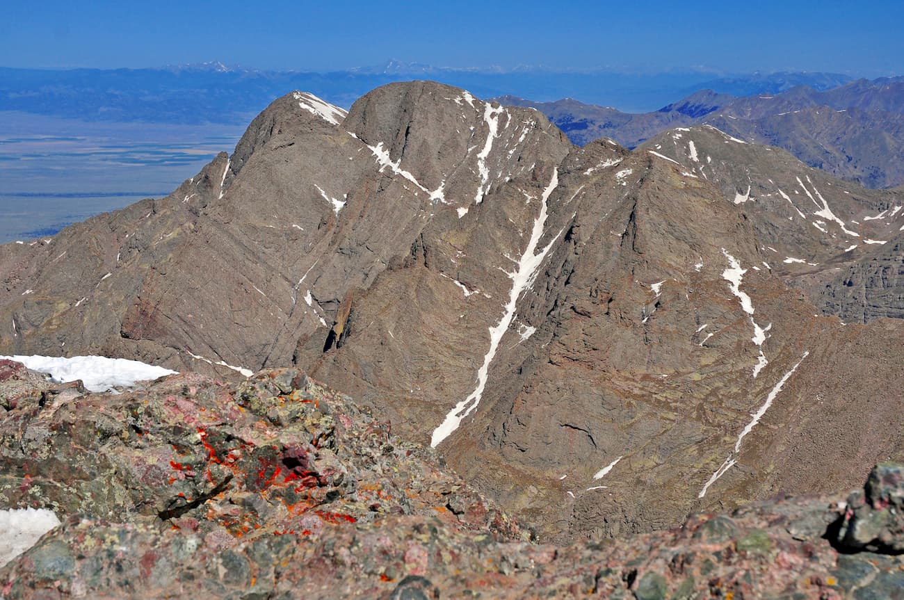
The mountains of the Sangre de Cristo Wilderness constitute a formidable barrier to east-west travel. They loom menacingly above the San Luis Valley to the west and the Wet Mountain Valley to the east. The range is narrow (as little as six miles) and the mountains are high (over 14,000 feet), with a notable absence of foothills in the usual sense, as you would see in the Front Range of Colorado. When you fly over them, especially at cruising altitude of about 35,000 feet, the land formation of most of the range will look like a giant spine, with numerous “ribs” extending east and west, ridges that are separated by deep valleys. Throughout much of this extent, the ridge-line defining the divide between the two valleys on either side is almost completely straight with very little variations in its general southeast to northwest trend.
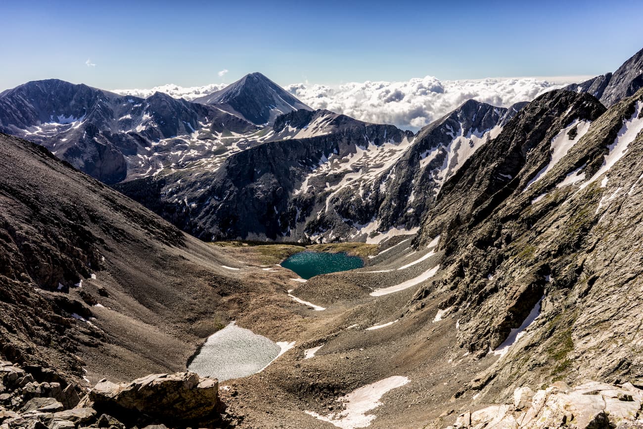
The Sangre de Cristo Wilderness is the third largest in the state, after Weminuche and Flat Tops. Its size is 226,420 acres and its elevations range from 8,000 to 14,304 feet. There are 180 miles of trails, many of which end at pristine alpine lakes nestled against seemingly unclimbable walls – at least unclimbable to the casual hiker and even some experienced mountaineers. Though some of the highest mountains in the range are just outside the wilderness boundary, they are often climbed together with others that are within, or at least from trailheads that start just outside the boundary and traverse the wilderness.
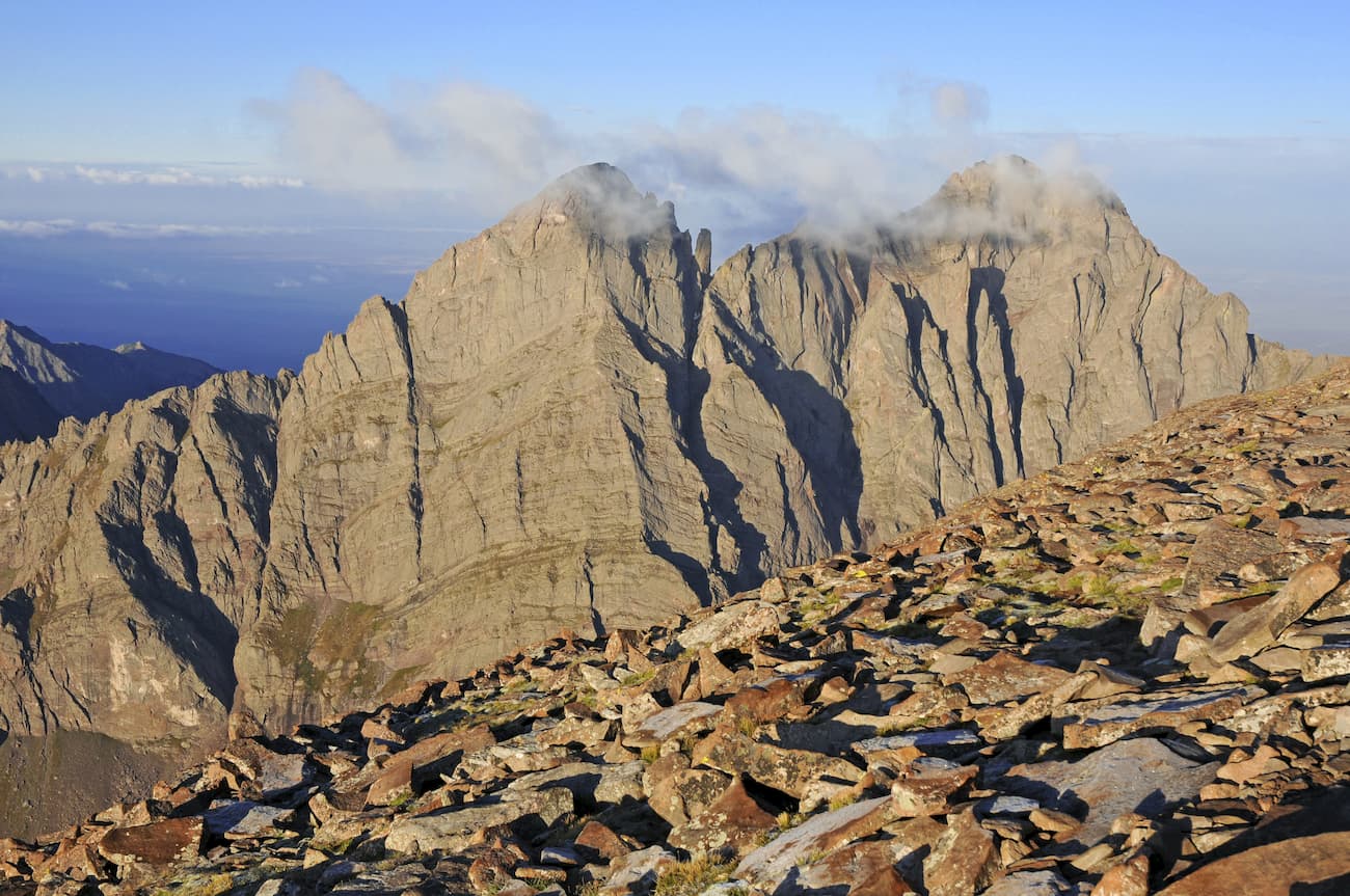
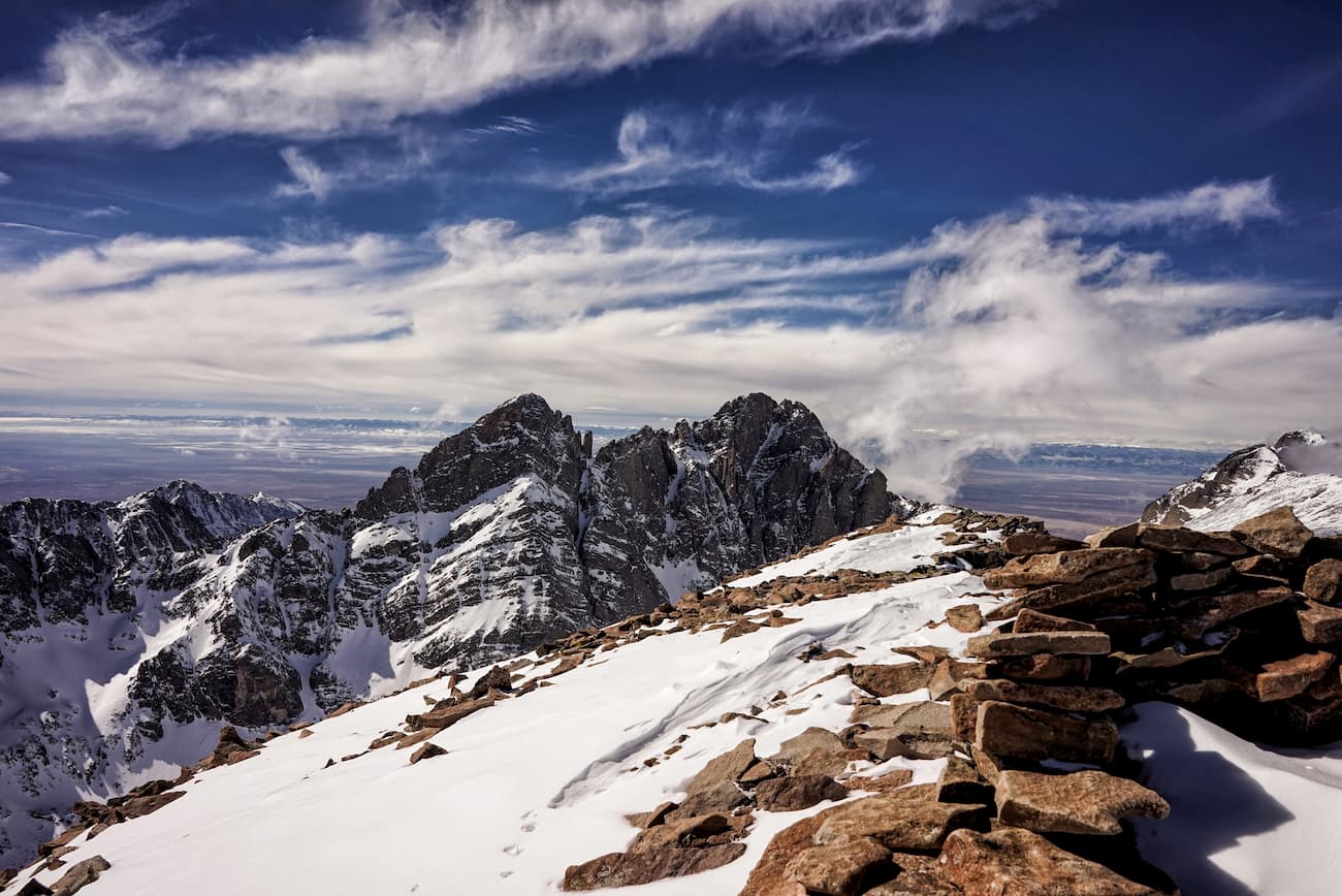
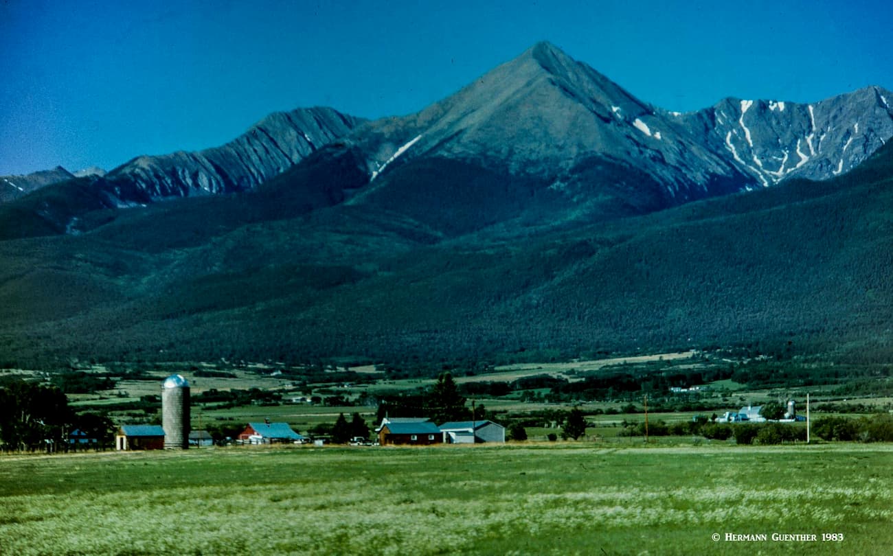
The geologic structure of the Sangres (as they are called hereabouts) is unique in Colorado. They were formed as a result of an upward thrust due to a fault along the eastern boundary of the San Luis Valley (there is another fault along the western boundary as well). As the continent arched upward, the Rio Grande Rift Zone stayed put thus resulting in giant blocks of rock reaching skyward. This phenomenon has created what is now known as thrust-block mountains, the only ones in the state, and this is what gives some of them that “blocky” look and what makes them such challenging and dangerous climbs. The Crestone Needle, although just outside the wilderness, is such a block – considered by many climbers as Colorado’s most challenging fourteener.
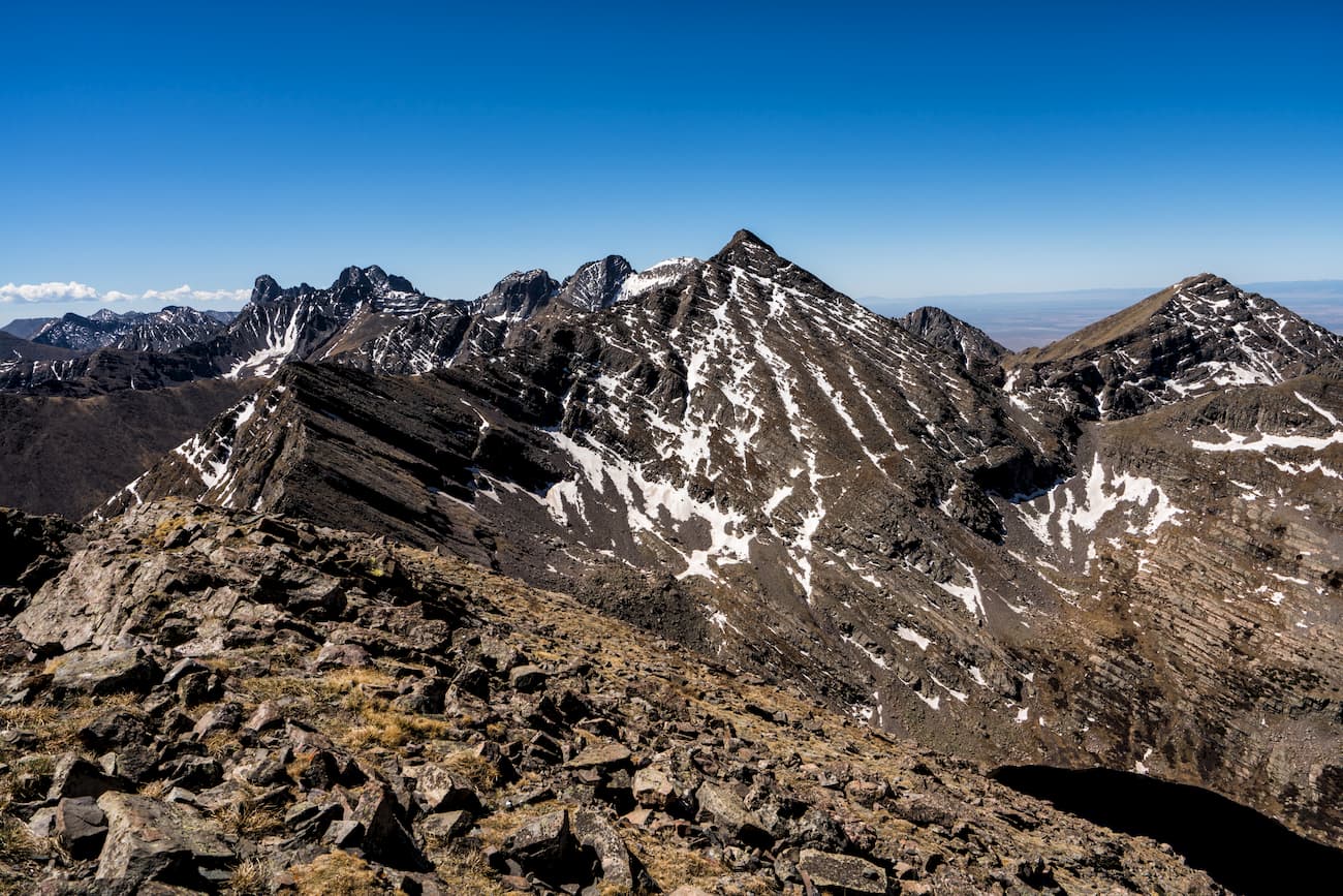
Because of several jeep trails that cross the mountains from west to east, and due to some patented mining claims, the southern part of the wilderness is segmented into smaller parcels in order for these roads to continue to provide historic access. Given the wilderness restrictions on motorized travel, these small areas had to be excluded from the wilderness. But that does not change the otherwise spectacular nature of the landscape. For most visitors, the feel of wilderness is still there despite the presence of those roads and mining claims. For example, the big cluster of the four massive fourteeners dominated by Blanca Peak is mostly south of the wilderness boundary with only Ellingwood Point included within. But this massif could not be more wild than it already appears.
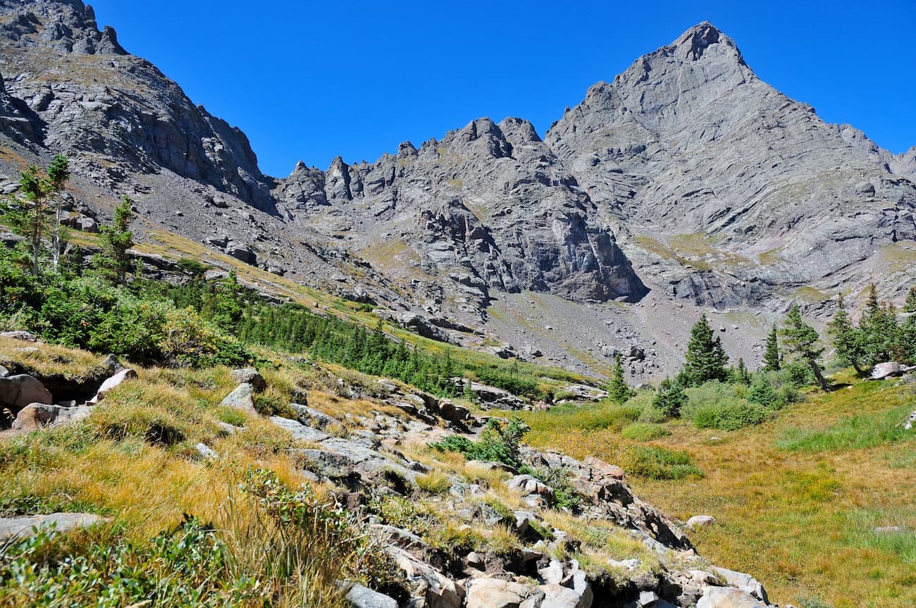
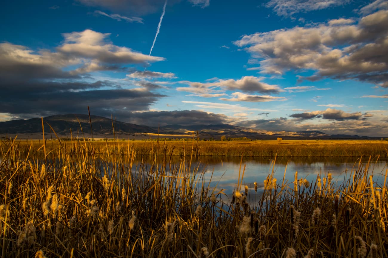
Because of the deep and steep-sided valleys on either side of the Sangre de Cristo Range, hiking in this wilderness is a different proposition. Because of this, the terrain poses a major impediment to inter-valley hiking, with the result that most hikes will go up and then back down the same valley. Those aiming for the higher peaks will by necessity also go up these same valleys. But even if you don’t plan on climbing those monsters, you will be amply rewarded for your efforts. I have hiked up several of those valleys and have found them to be truly stunning, since at the ends of most you will arrive at some scenic wonders in terms of those pristine alpine lakes. So don’t hesitate, put on your boots and let’s go hiking! After all, Congress designated the Sangre de Cristo as the flagship of the 1993 Colorado Wilderness Act.
South Colony Trailhead - This trailhead on the east side of the wilderness is perhaps the most popular, as it provides trail access to all of the high peaks of the Crestone group. It is about 12 miles from the nearby town of Westcliffe to the first parking area. This is where drivers with passenger cars need to park. Those with four-wheel drive and high clearance can drive another 2.5 miles to the so-called "new" South Colony Trailhead. This trail can make a pleasant day hike to the South Colony Lakes and their beautiful setting at the base of Crestone Needle.
A trail continues from the lower South Colony Lake over Broken Hand Pass to Cottonwood Lake which many climbers use as their base to climb Crestone Peak and Needle. From the South Colony Lakes it is also relatively easy to climb Humboldt Peak. With additional exertion, Kit Carson Peak and Challenger Point can be climbed from the lakes. But climbing any of the peaks in the Crestone group is likely beyond the scope and capabilities of casual hikers. These mountains are a bit of work!
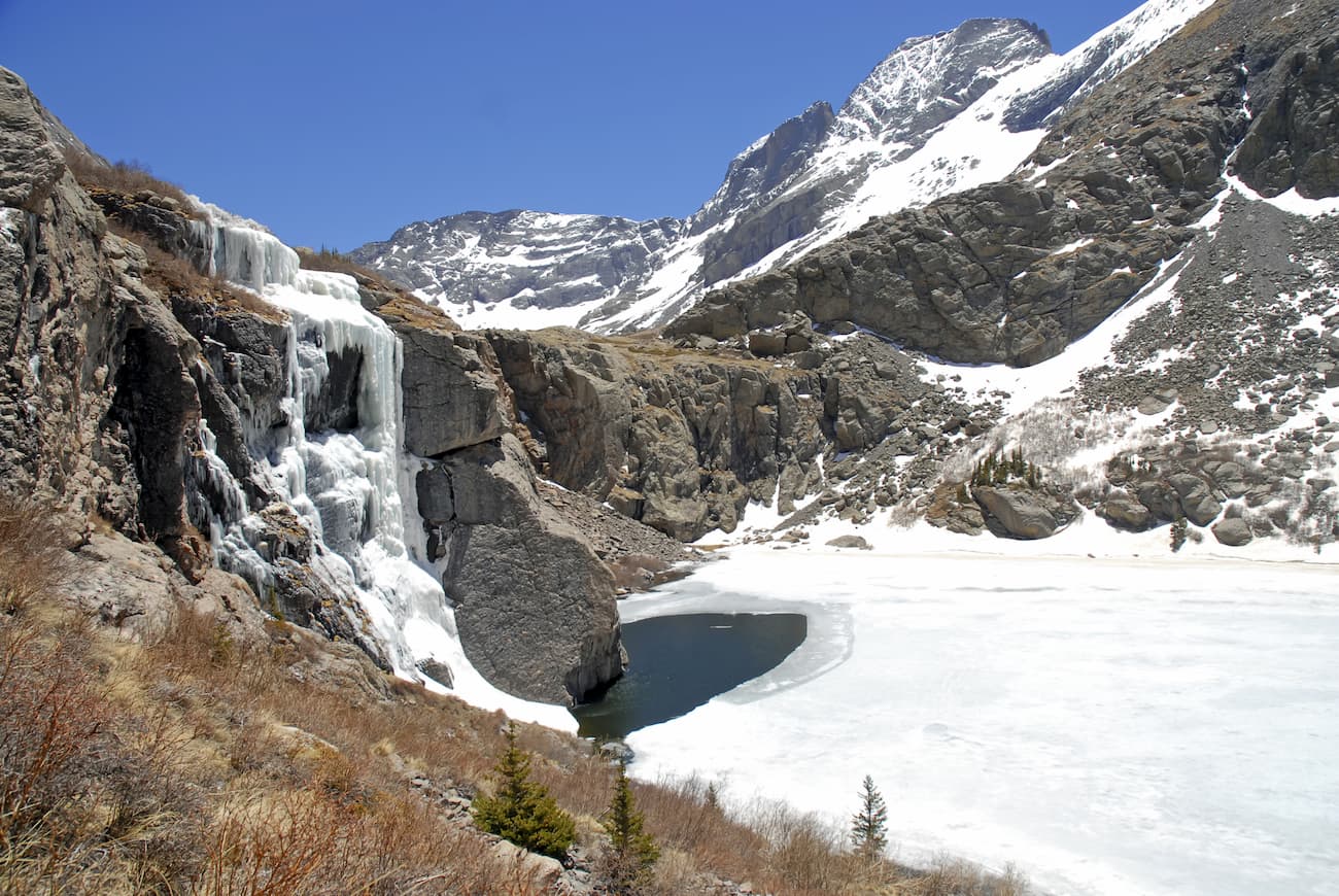
Willow Lake Trailhead – This trailhead, the most popular one on the western side of the wilderness, is just outside the small town of Crestone. It provides the easiest access to Kit Carson Mountain and Challenger Point, two of the five fourteeners in this part of the range although they are not within the wilderness boundary. But most of the trail in the Willow Creek Basin and the two Willow Creek Lakes are. The lakes are very popular for fishing, and their proximity to Kit Carson and Challenger makes this basin a logical staging point for climbing them. The lower of the two lakes is known for the waterfall that plunges down off a cliff directly above the lake. This is a spectacular place.
Rainbow Trail – This multi-use point-to-point trail is 29 miles long and follows the eastern wilderness boundary, in some places coinciding with the boundary but never actually entering the wilderness. Its northern trailhead is on U.S. Highway 285 just north of Poncha Pass; the trail continues south as far as the Huerfano/Custer County line. The trail provides access to many other trails into the wilderness and even permits mountain bikes as well as motorized off-road vehicles on some sections.
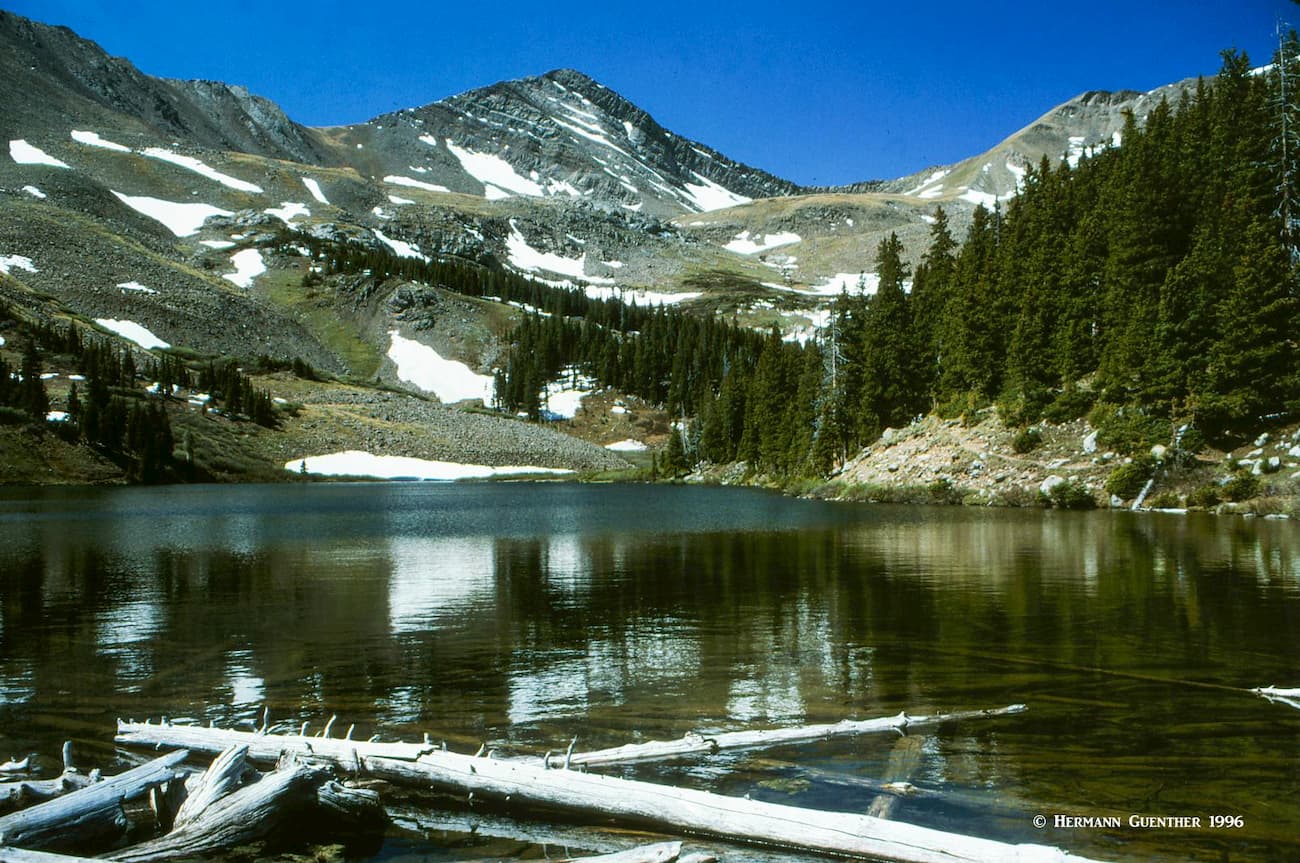
Gibson Creek Trailhead – The Lakes of the Clouds (three of them) are located in a valley that is frequently socked in by bad weather – perhaps that is how they got their name. It certainly wasn’t that way when I made the hike to those scenic lakes – not a cloud for the entire day. The trailhead, at the end of North Taylor Road, now offers two options to get to the lakes. The original (and only one when I did this) follows the Rainbow Trail for two miles before it intersects the Lakes of the Clouds Trail. This is the longer route to the lakes. But the newer Swift Creek Trail gives you the option of including a partial loop. It leaves the Rainbow Trail shortly after the trailhead and takes a more direct route to the lakes, though you will still have to hike on about two miles of the Lakes Trail – each way. So depending on which routes you take, you can do this hike in anywhere from about nine miles to twelve miles round trip. This is a very popular hike but well worth doing.
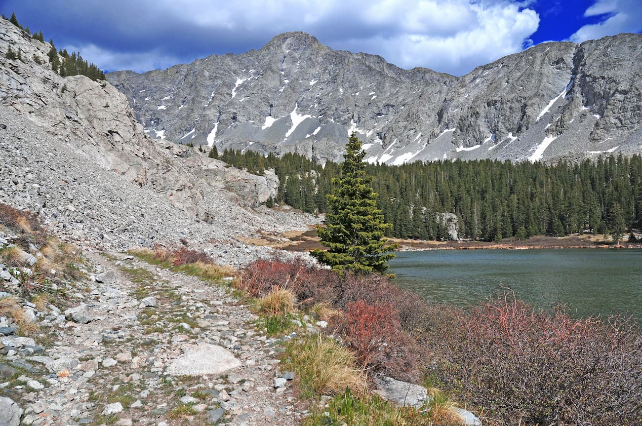
Brush Creek Lakes Loop Hike – If you have the time and the stamina, you might want to consider this 28-mile loop hike in the northern part of the wilderness, just a few miles north of the Lakes of the Clouds. The northern trailhead is on the Rainbow Trail and then follows the North Brush Creek Trail to two large lakes that are very popular with anglers. Beyond the upper lake, this route then follows the more remote Crossover Trail that, after crossing several drainages, connects to the South Brush Creek Trail that eventually meets the Rainbow Trail which you will have to follow back north for seven miles. This is a strenuous hike involving lots of elevation gains and losses, but will take you through some incredible wilderness. A good bet is that this hike will take at least three days to complete.
Lake Como Trailhead - This is the main staging point for climbs of Blanca Peak, Little Bear Peak and Ellingwood Point in the Sierra Blanca Massif. While only Ellingwood Point is actually in the wilderness, the entire group of fourteeners, including Mount Lindsey, surely deserve to be if it were not for the Lake Como Road and various mining claims. The trailhead is about 20 miles from the city of Alamosa and 11 miles from the small town of Blanca. At 8,000 feet elevation, it is the lowest trailhead in Colorado for climbing fourteeners. It is theoretically possible to drive all the way to Lake Como at 11,750 feet, another five miles up the road, but that involves negotiating the most challenging four-wheel drive road in Colorado, which is only possible with specially modified vehicles. Most vehicles stop at the lower location, though some continue on up to 10,000 feet and park somewhere along the road, depending on their comfort level. At any rate, those wishing to climb the high peaks will likely camp at Lake Como before making their ascent. The entire road skirts the wilderness boundary all the way to the lake. This then is the primary staging point for climbing these peaks. Casual hikers don't usually come up here, although Lake Como is very scenic. The only trail to the lake is the jeep road and it is reputedly very unpleasant to hike.
Lily Lake Trailhead – This trailhead in the Huerfano Basin provides an alternative access to climbing Blanca Peak and Ellingwood Point, especially the north faces of the two. But this is also the only public access for climbing Mount Lindsey. A four-wheel drive vehicle is advisable since the final two miles of the road to the trailhead is quite rough. This magnificent cirque basin has all the hallmarks of wilderness except for the mining claims around Lily Lake. But don’t let that discourage you from coming here for the four-mile one-way hike to the lake.
While Interstate Highway 25 is only a short distance east of the Sangre de Cristo Wilderness as the crow flies, the major cities along the route are not really advantageous for staging excursions into the wilderness. You will really want to stay much closer if convenience and proximity to recreation areas is your priority; you do have a few options, but not many. The entire Sangre de Cristo Range is situated in a region of low population density, but that does not prevent hikers and climbers from taking advantage of what the wilderness has to offer.
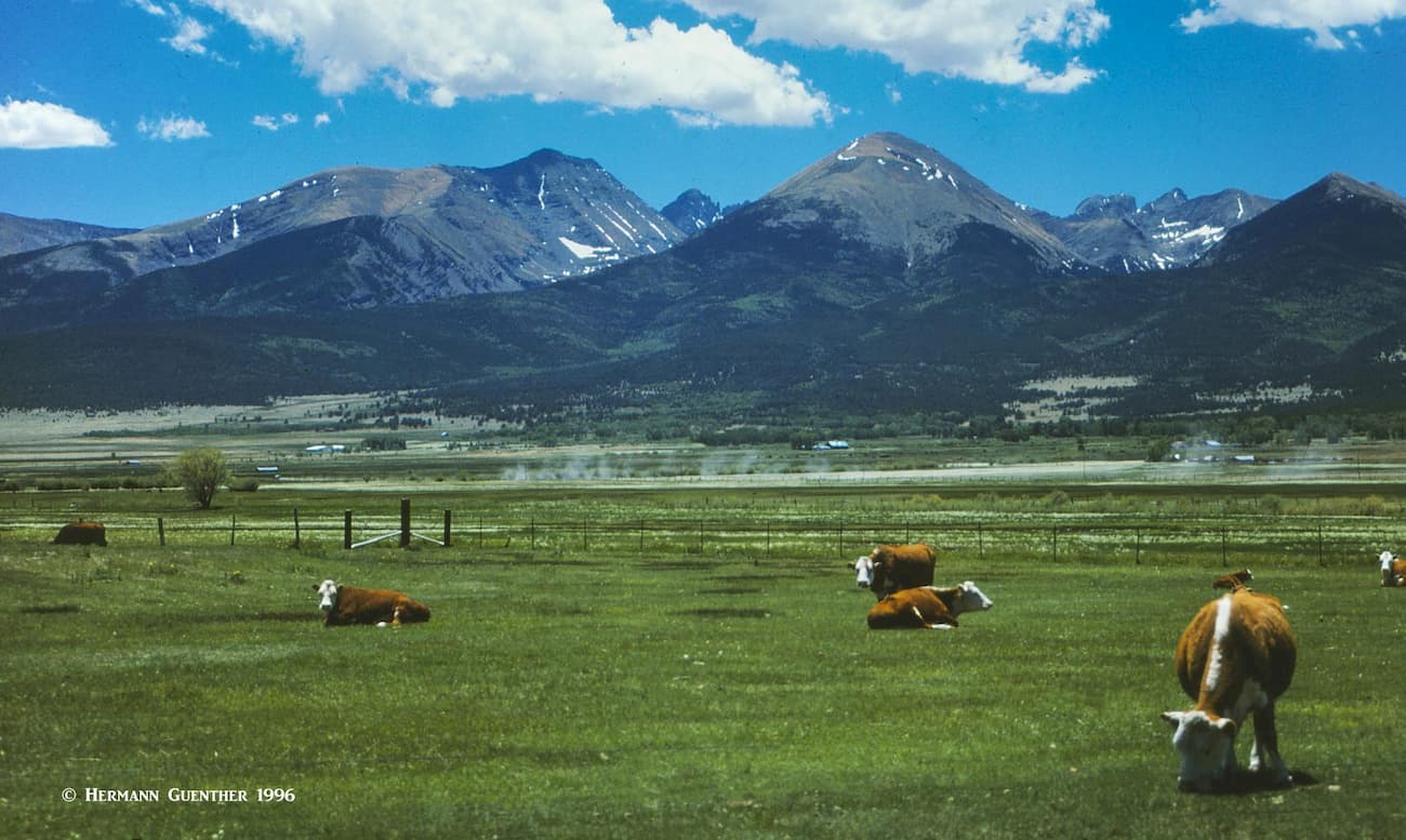
In the middle of the immense San Luis Valley, which forms the western edge of the Sangre de Cristo Range, sits the city of Alamosa. Though this town is surrounded by large parts of the Rio Grande National Forest, it is very conveniently positioned for climbing some of the most popular peaks in the Sangre de Cristo Wilderness. With a population of less than 9,000, this is by far the largest town anywhere close to this wilderness. Yet, the town offers almost any amenity that a visitor would require for an extended stay to explore these mountains - accommodations, restaurants, hospital, golf course, shopping and even an airport with regional scheduled service including to Denver and Albuquerque, New Mexico. This is the place to stay if hiking access to the western approaches to the Sangre de Cristos is desired, especially the high peaks of the Crestone Group and the Sierra Blanca Massif. Visitors to the nearby Great Sand Dunes National Park as well as the Alamosa National Wildlife Refuge are very likely to base themselves in Alamosa for a multi-day visit.
If hiking access to the east side of the Sangre de Cristo Wilderness is desired, the town of Westcliffe may be the best choice for accommodations and eating. The major trailhead for the Crestone group of fourteeners, the South Colony Lakes Trailhead, is just a few miles from Westcliffe, making this town easily the most convenient town where to find accommodations and food. With a population of under 600, this is not exactly a major town, but at least there are a few lodging and eating establishments here. But the views of the Sangre de Cristo Mountains to the west are epic, which is sure to make eager hikers and climbers want to get to the trailheads as quickly as possible. A visitor to Westcliffe should not expect to find much more than the most basic amenities here. The city of Salida, with a population of just over 5,000, about 50 miles to the north would be a more viable, but more distant, base from which to explore this wilderness.
A tiny village of less than 200 souls, Crestone is nestled right at the foot of some of the highest peaks of the Sangre de Cristos. It is known as a spiritual center representing a number of major religions, only about an hour's drive from Alamosa. For some who want a quiet experience in a beautiful setting, there are several bed and breakfast facilities here although other amenities are not abundant. There is a Forest Service campground less than two miles north of the town. But if you want to explore the spectacular Willow Creek basin and perhaps take on Challenger Point or Kit Carson Mountains, you could not do much better than stay here - the trailhead is only two miles outside of this village.