Get PeakVisor App
Sign In
Search by GPS coordinates
- Latitude
- ° ' ''
- Longitude
- ° ' ''
- Units of Length

Yes
Cancel
❤ Wishlist ×
Choose
Delete
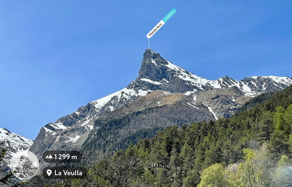
Mont Avic Natural Park (Parco Naturale del Mont Avic) was established in 1989, making it the oldest nature park in the Aosta Valley region of northern Italy. There are 39 named mountains in Parco Naturale del Mont Avic, the highest of which is Mont Glacier (3,185 m/10,449 ft) and the most prominent of which is Monte Avic (3,006 m/9,862 ft)
Located in the Graian Alps of the northwestern Italian region of Aosta Valley, Mont Avic Natural Park was established in 1989 to protect the high valley of Torrente Chalamy.
The park was expanded in 2003 to include part of the Dondena Valley. This extended the park’s boundaries to the ridges of Val Soana and Val di Cogne, bringing the park's total area to 57 sq. km (22 sq. mi).
The picturesque landscape of Mont Avic Natural Park is located 49 km (30 mi) to the southeast of Aosta, the regional capital of Aosta Valley. It encompasses the municipalities of Champdepraz and Champorcher.
The park is one of the two largest protected areas of Aosta Valley, alongside Gran Paradiso National Park, which it borders to the southwest. Alongside France’s Vanoise National Park, the two parks form one of the largest transboundary protected areas in the Alps.
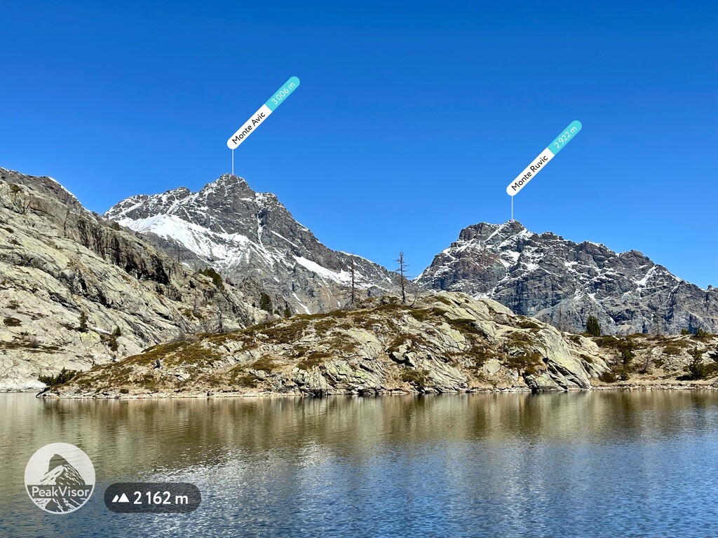
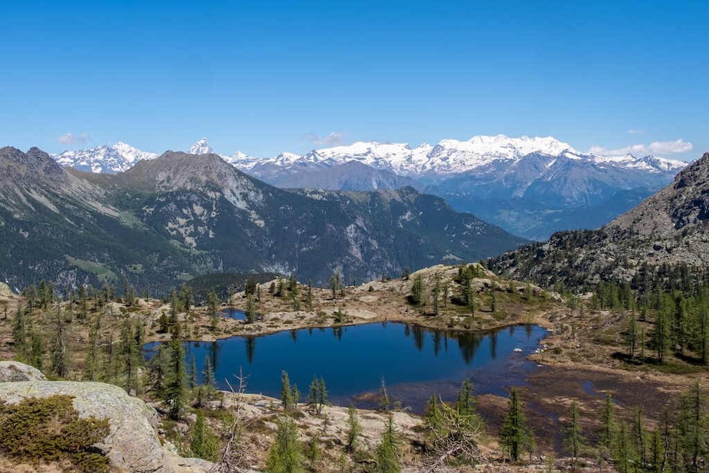
Mont Avic Natural Park is known for its astounding natural beauty, which is characterized by its steep slopes, high reliefs, and deep valleys. The park is part of the Gran Paradiso massif, which is one of two massifs that make up the Graian Alps, the other being the Mont Blanc massif.
The Gran Paradiso massif, which is home to both Mont Avic Natural Park and Gran Paradiso National Park, is made up of a variety of different rocks, such as stratified gneisses, some of which contain thick iron veins.
The park contains outcrops of the Piedmontese complex of calcareous schist with green stones. Ophiolites from Mont Avic are prevalent in Val Chalamy and calcareous schist is found in Val di Champorcher.
The ophiolites represent ocean fragments from the Piedmont basin, which was submerged under an ancient sea many millions of years ago. This basin was also involved in the Alpine orogeny following the collision between the African and European continents.
While exploring Mont Avic Natural Park, you’ll come across a number of incredible geological formations. The ruggedness of this mountainous environment has limited human activity such as farming, sheep rearing, and mass tourism, so the area remains largely untouched by humankind.
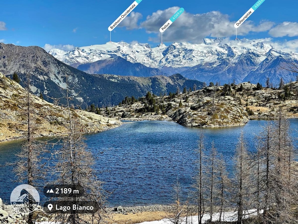
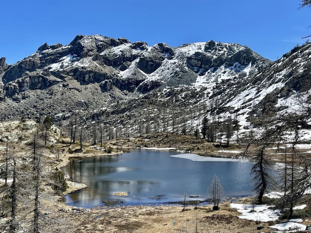
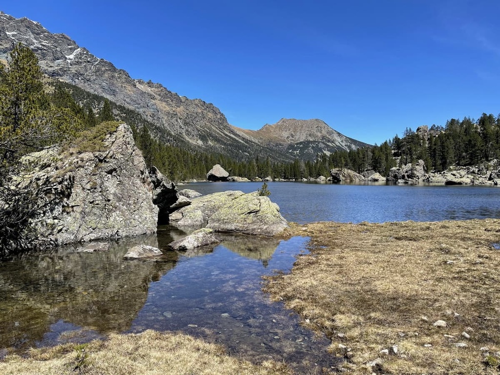
Mont Avic Natural Park is known for its dramatic beauty, which includes its mix of rugged mountainous landscapes and vast, sloping meadows. Forests dot the landscape alongside high-elevation glacial lakes, Alpine meadows, wetlands, and peat bogs.
More than a third of the park is covered by forests of hook pine, Scots pine, larch, and beech, including Italy’s largest hook pine forest. A variety of interesting flora can also be found in the park, largely due to the presence of wetlands, lakes, and peat bogs in the region.
Some of the rarest plant species found in the park are bog sedge (Carex limosa), few flowered sedge (Carex pauciflora), and hare’s-tail cottongrass (Eriophorum vaginatum).
Mont Avic Natural Park protects a vast array of insect species, including rare dragonflies and over 1,000 different species of butterfly. This is largely due to the vast number of wetlands and lakes present in the park.
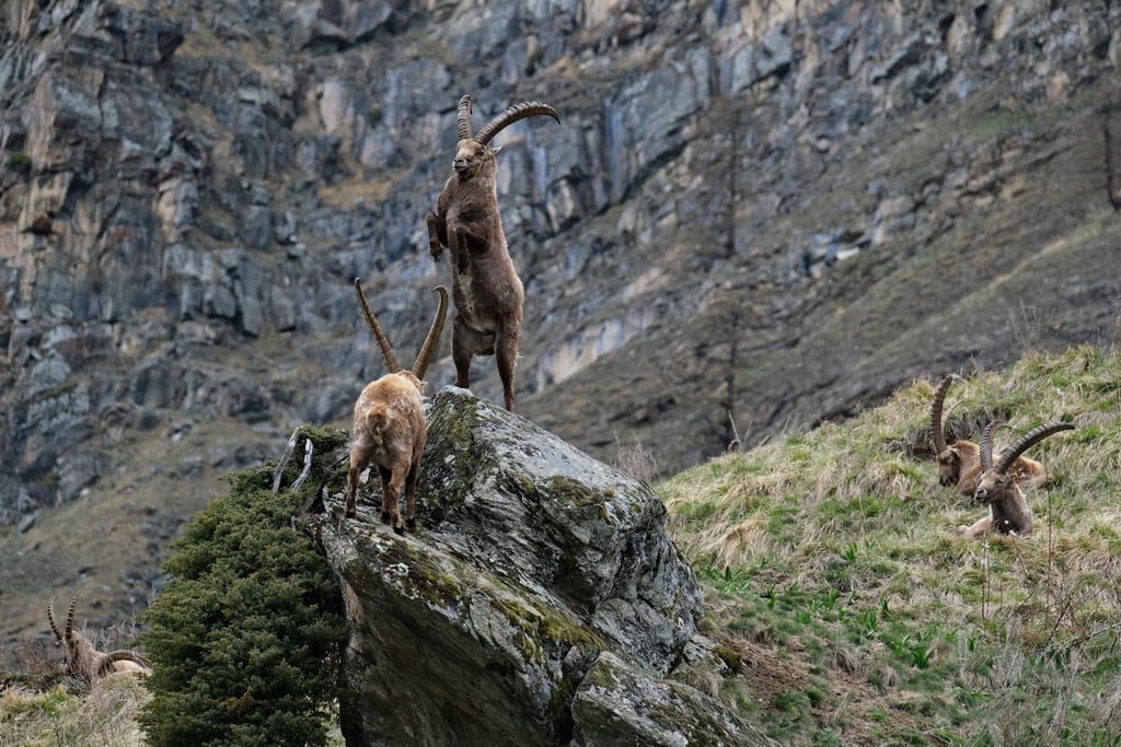
Fauna that can be found in the park includes the Alpine ibex (which is a symbol of the neighboring Gran Paradiso National Park), chamois, mountain hares, marmots, badgers, foxes, martens, and weasels, among others.
The park is also home to more than 120 bird species. Birds to look out for in the park include bearded vultures, golden eagles, buzzards, kestrels, eagle owls, sparrow hawks, black grouse, rock partridges, and black woodpeckers.
Mont Avic Natural Park includes a Natura 2000 Network “site of community importance.” This site preserves the habitats and species of the broadleaf and conifer forests, peat bogs, and the high-mountain ophiolitic sites in the park.
There has been limited human activity in the park over the centuries due to its rugged mountainous environment. However, typical Alpine activities such as farming, sheep rearing, cattle grazing have been practiced in the region for centuries.
Due to the rich mineral content found in Aosta Valley, the area is close to many old mines that are no longer in operation. Within the park, the forests of Val Chalamy were clear-cut or otherwise heavily logged over the past centuries due to this mining activity, but are now in recovery. Materials that were mined in the area included gold, silver, copper, magnetite, manganese, iron, and coal.
There are two visitor centers in the park: Villa Biamonti visitor center in Champocher and Covarey visitor center.
Nearby places of interest include the many fairytale castles of Aosta Valley, such as Issogne Castle, Verrès Castle, Fort Bard, and Ussel Castle.
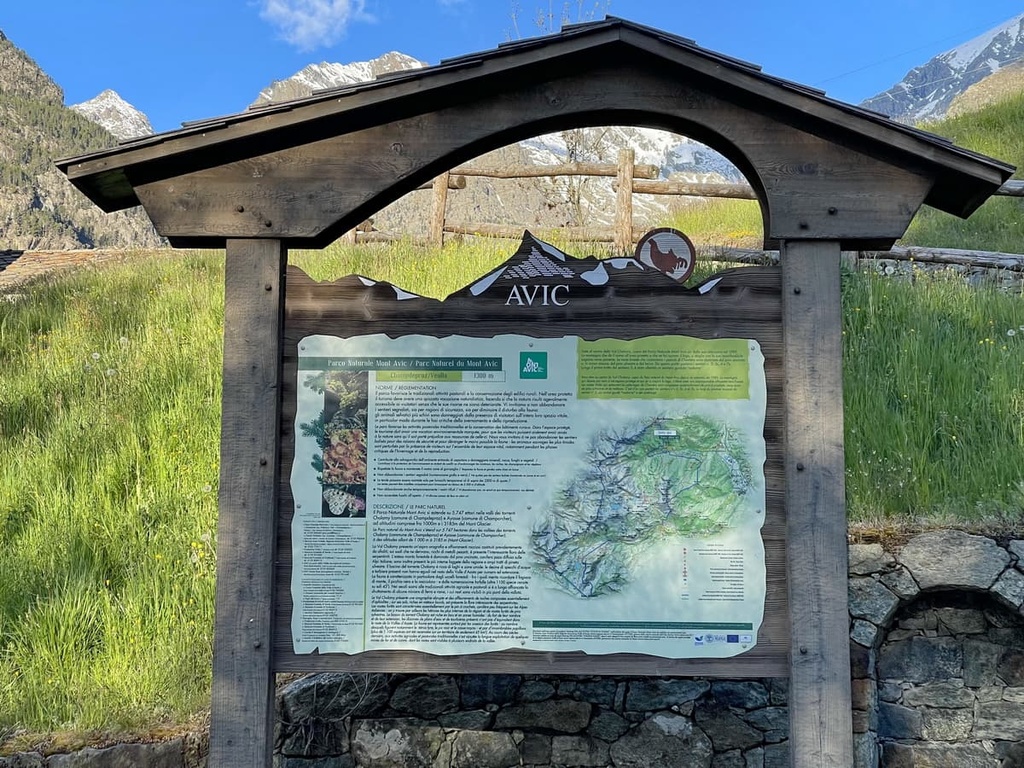
There are more than 100 km (62 mi) of regularly maintained footpaths for visitors to enjoy in Mont Avic Natural Park. Many of the paths travel to panoramic viewpoints that often feature informational panels. Visitors can also learn more about the different habitats of the park in its two visitor centers.
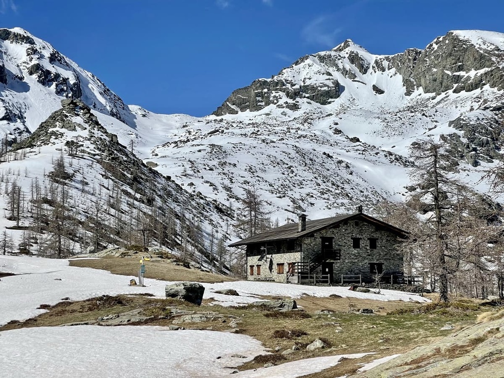
Mont Avic Natural Park can be easily reached from both Champdepraz and Champorcher. From here, there are several hikes up to rifugio Barbustel, which offers views over the valley and across to the peaks of Monte Rosa, Matterhorn (Cervino), and Dent d’Hérens. The rifugio is also home to many footpaths of varying lengths that take you along scenic routes to the many lakes in the area.
Here are some of the most notable hikes in Mont Avic Natural Park to check out during your next trip.
Explore the stunning lakes in the heart of Mont Avic Natural Park on this fantastic trail. This trail starts from Dondena and heads to Alpe Grand Cort, Muffé pasture and lake, and Col Lago Bianco.
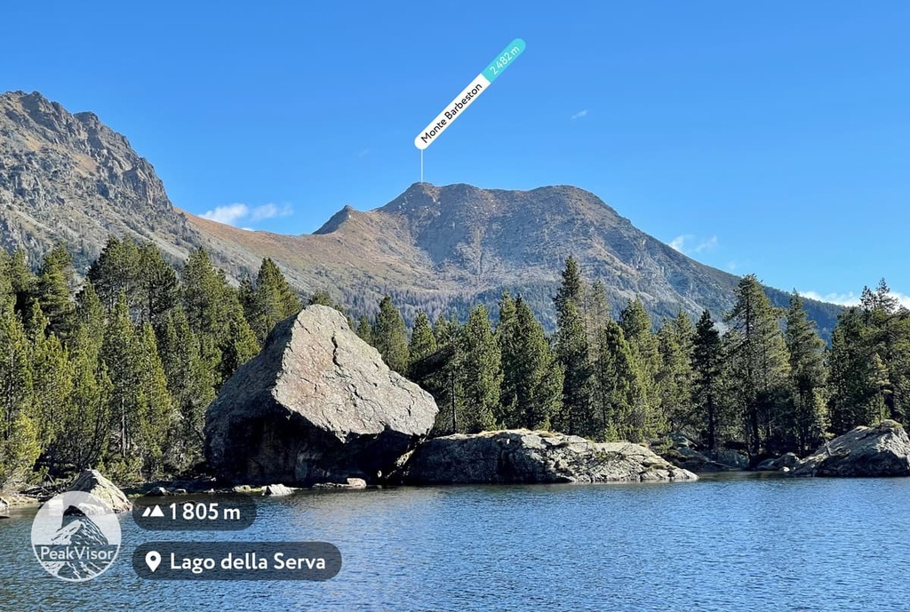
To get there, take Trail 5 to Lac Vallette, and then to rifugio Barbustel. From here, follow route 5C up to Lago Cornuto before climbing steeply up to Gran Lago at 2,492 m (7,969 ft).
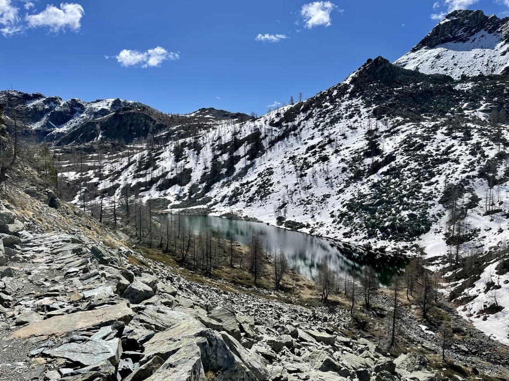
The Tour de Mont Glacier takes you to the tallest peak in the natural park. To reach the trail from Dondena, head to rifugio Dondena then follow signposts to Mont Glacier and Col Fussy along footpath 8C.
After an initial steep climb, the path begins to flatten into a more gentle path through scree until it reaches Col Fussy (2,902 m/9,520 ft). Here, you can enjoy a view over Lago Gelato (Lake Gelato), which is located a few dozen meters below.
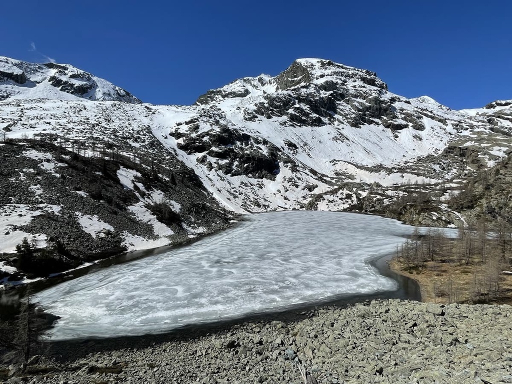
From Lake Gelato, the path leads into a boulder-strewn area towards Mont Glacier’s southern ridge. You can circle back down via Lake Miserin or carry on up to the summit of Mont Glacier (3,185 m/10449 ft) along the southern ridge. Note that if there is snow on the trail, you may need crampons and ice axes to complete this trek.
The Via Alpina consists of a network of five routes that stretch 5,000 km (3,106 mi) across the entire Alps. The routes are broken down into 342 day-long stages that take you from Trieste to Monaco.
In particular, the blue route passes through Mont Avic Natural Park. It is further broken down into two routes: D20 from Challand-Saint-Victor to Covarey, which takes over 5 and a half hours to complete, and D21 from Covarey to rifugio Dondena, which takes around 8 and a half hours to complete.
There are plenty of small towns and B&Bs within easy reach of Mont Avic Natural Park. Here are a couple of the main towns that are located nearby to keep in mind as you travel through the region.
Aosta is the regional capital of Aosta Valley and is a great base for a stay in the area. The city is an ancient Roman town that was founded in 24 BCE. As a result, many Roman remains can be seen in the city to this day.
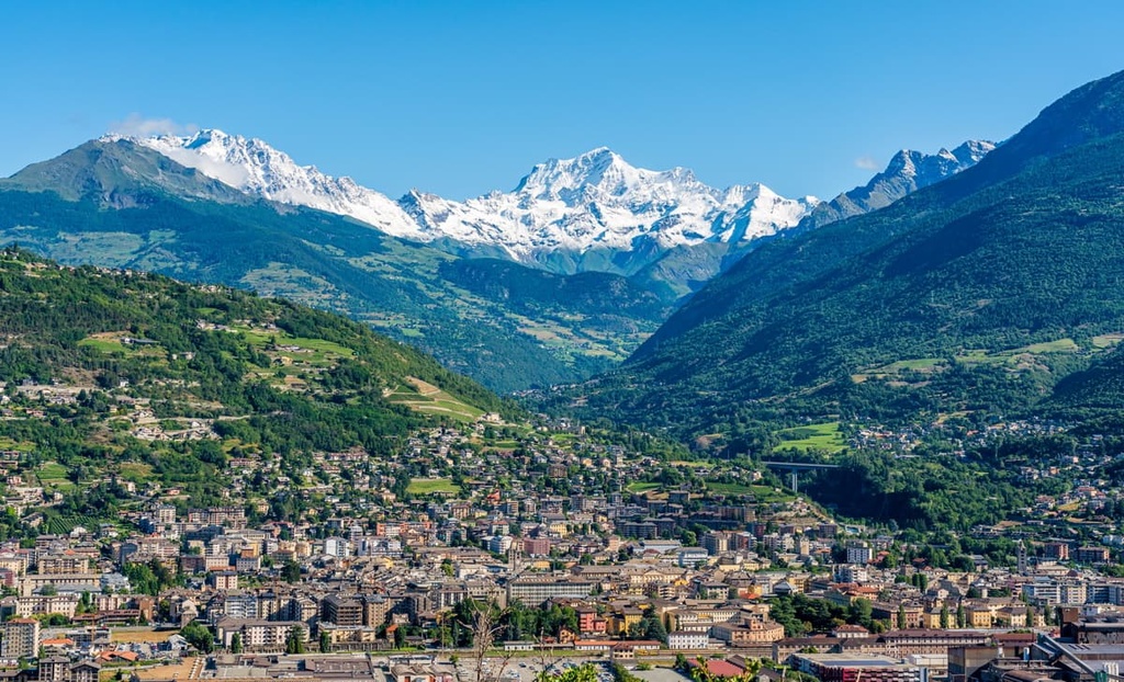
Both Mont Avic Natural Park and Gran Paradiso National Park can be easily reached from the city of Aosta in less than an hour, making it a superb place to relax after a long day of hiking.
Situated close to Champdepraz, one of the main gateways to Mont Avic Natural Park, the town of Saint Vincent is a great place to stay when visiting the park.
Known for its mild climate, the town of Saint Vincent has been a popular tourist spot since the end of the eighteenth century. Saint Vincent is also well-known for its thermal spas and casino, so it attracts many visitors from around the world.
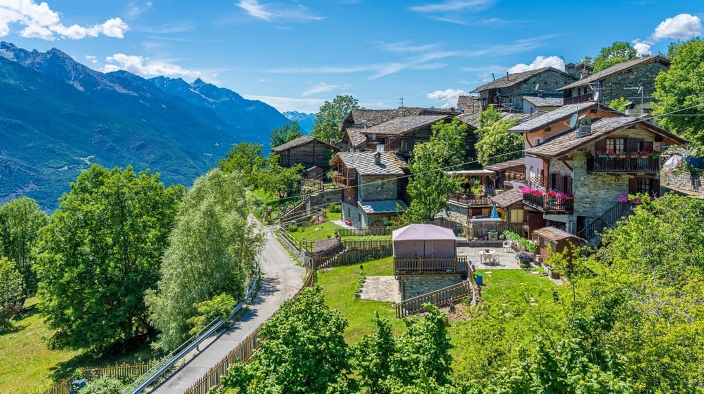
Explore Mont Avic Natural Park with the PeakVisor 3D Map and identify its summits.

