
Scan the QR code and open PeakVisor on your phone
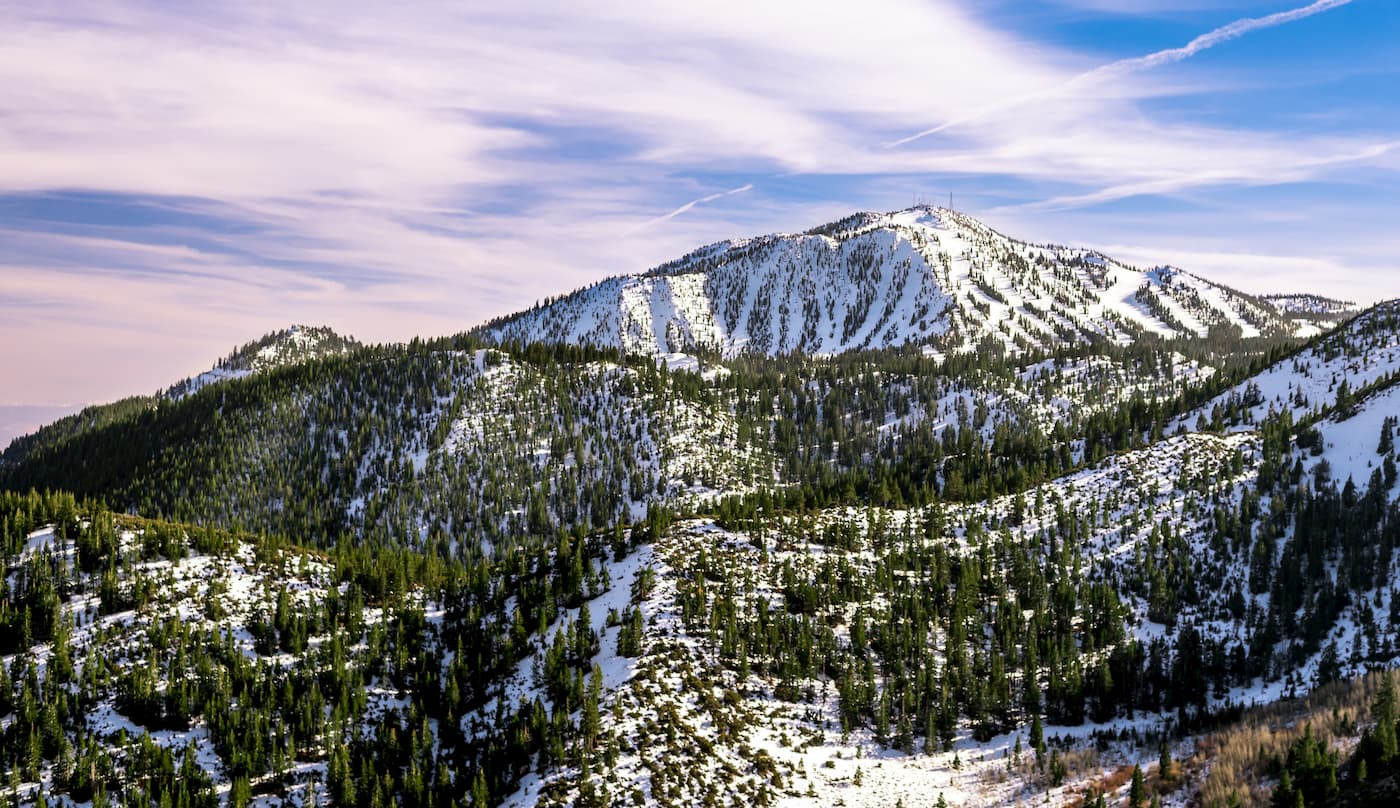
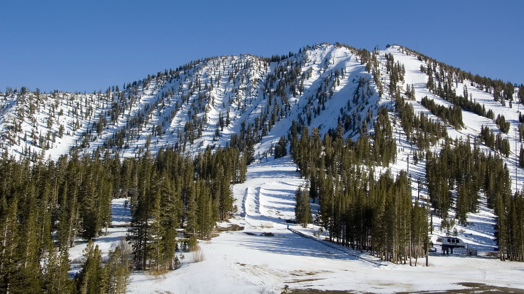
The Mount Rose Wilderness is an area of federally protected land in the US state of Nevada. It encompasses about 43.75 square miles (113.3 sq. km) of land and contains ten named peaks, the highest and most prominent of which is Mount Rose (10,778ft/3,285m).
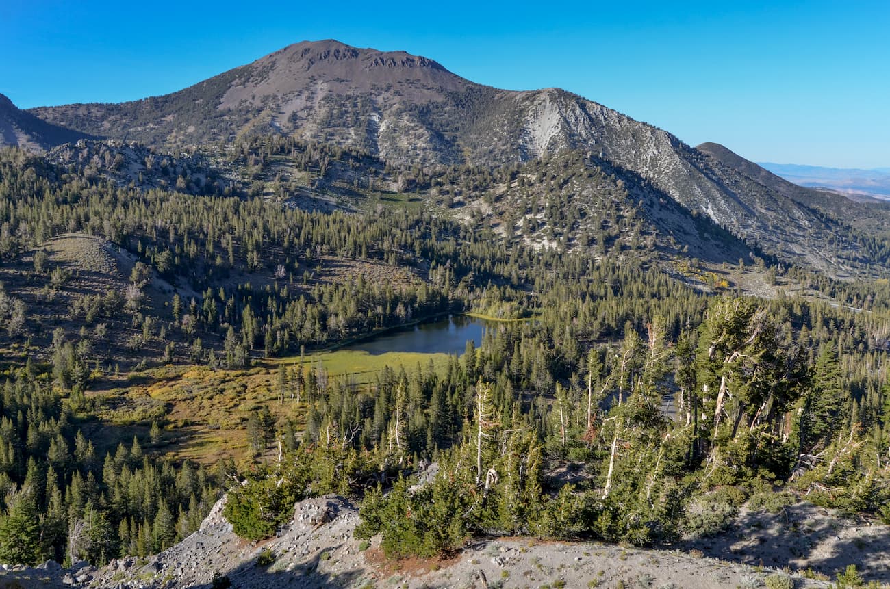
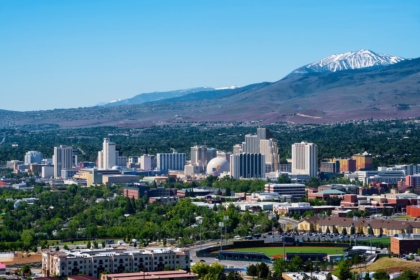
Nestled in between Lake Tahoe in California and the city of Reno, the Mount Rose Wilderness is home to a small section of the Carson Range. The Wilderness is wholly contained within Washoe County and is administered by the Humboldt-Toiyabe National Forest.
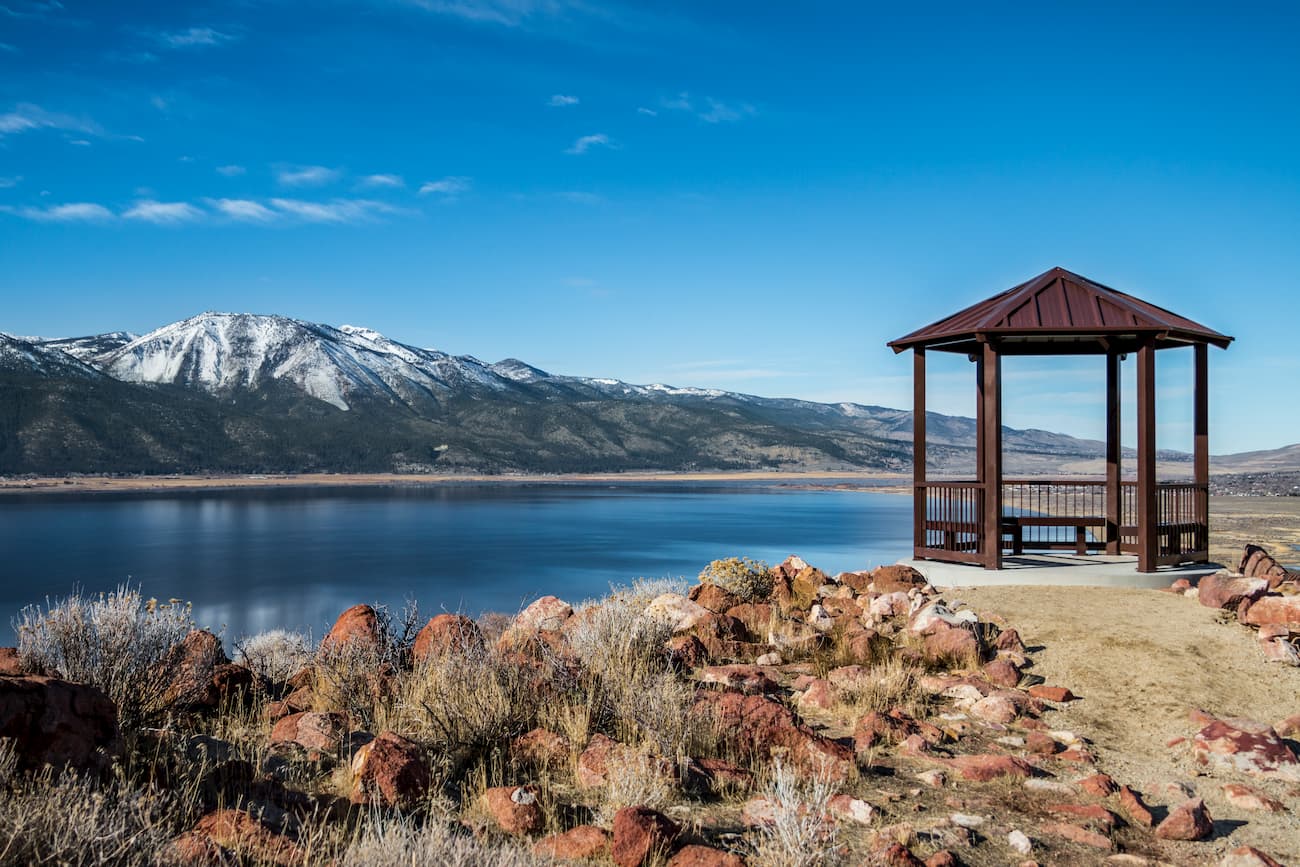
The Mount Rose Wilderness is bordered to the east by Washoe Lake and to the south by Lake Tahoe. To the north lies the city of Reno, while the rest of the Humboldt-Toiyabe National Forest forms the wilderness’ western boundary.
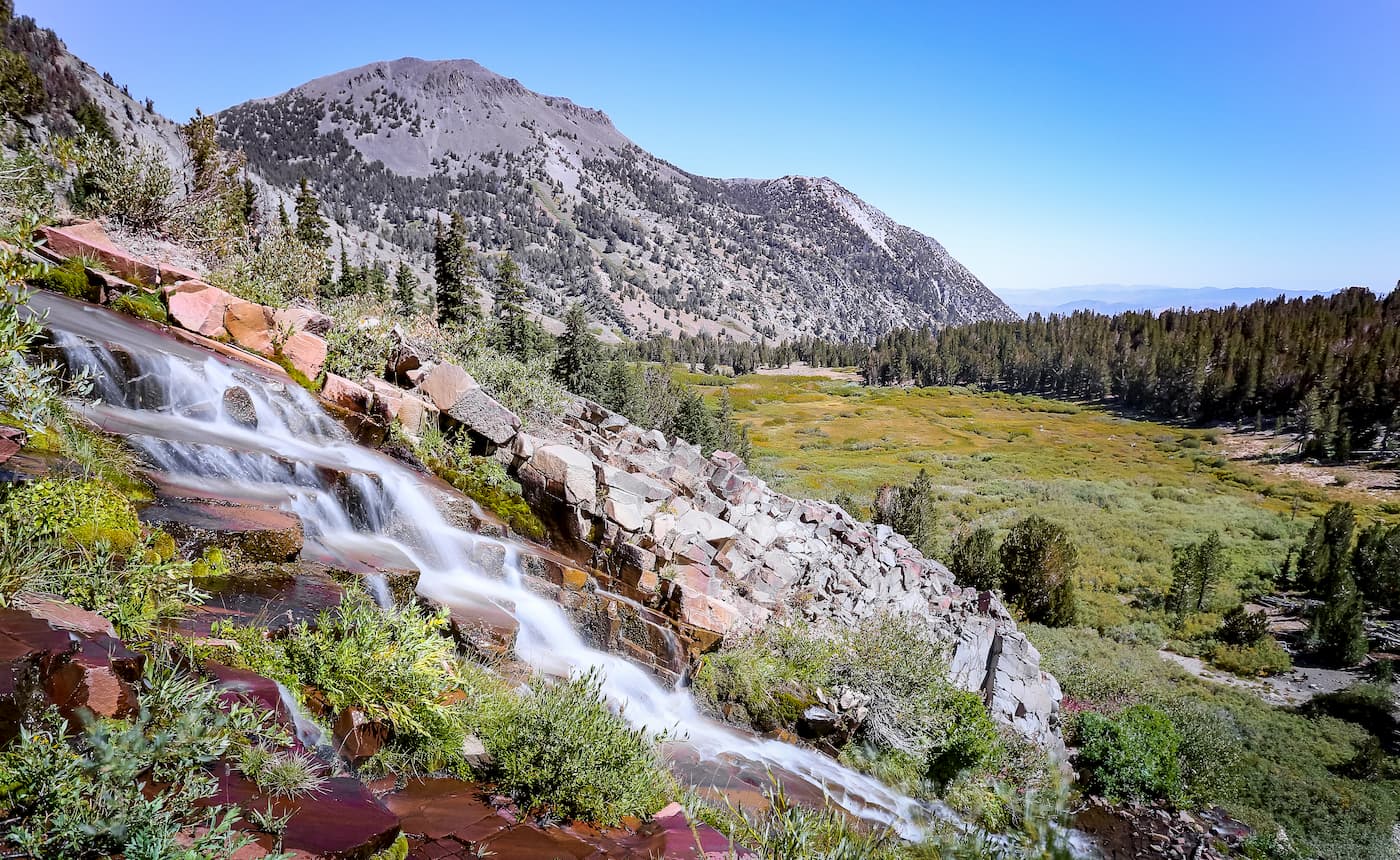
As a part of the Carson Range, the Mount Rose Wilderness forms one of the easternmost sections of the greater Sierra Nevada Range. The bedrock in the wilderness is mostly part of the Sierra Batholith, a massive collection of plutons that spans most of the Sierra Nevada.
This bedrock was eventually uplifted during the Nevadan orogeny, which was the mountain-building event that created the Sierra. During the Pleistocene, the region was also extensively covered by glaciers, which sculpted the mountains into the shapes that we see today.
Interestingly, the mountains in the Carson Range and the Mount Rose Wilderness cast a rain shadow over the land to their east, which includes the Greater Reno Area and Carson City. Additionally, the Wilderness tends to get snow later in the year than the rest of the Sierra and lose it much earlier. Generally, the Mount Rose area will get snow around December and lose it by April.
These conditions give the Mount Rose Wilderness a stunning display of colorful wildflowers during the summer months. The wilderness is also dominated by chaparral, scrub, and lower montane forests at low elevations while subalpine forests and alpine meadows surround the region’s stunning blue alpine lakes.
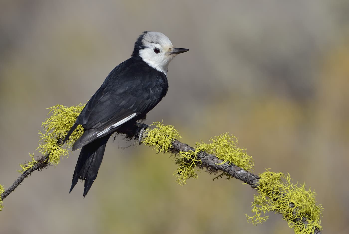
In addition to the rest of the Carson Range, the Mount Rose Wilderness is known for its populations of uncommon birds, such as the mountain quail, winter wren, pygmy nuthatch, and white-headed woodpecker. The regions also home to some bird species of “special concern”, which include the olive-sided flycatcher, the Wilson’s warbler, and the calliope hummingbird.
The Mount Rose Wilderness and the surrounding Lake Tahoe region are considered the ancestral homeland of Washoe (Wašišiw) people, who lived in the Tahoe Basin for millennia until the arrival of European-Americans.
One of the earliest Europeans to visit the Tahoe Basin and the area around the Mount Rose Wilderness was John Charles Frémont and the rest of this 1844 expedition. In fact, on this expedition, Frémont and his cartographer became the first Europeans to see Lake Tahoe after they climbed up nearby Red Lake Peak.
Not too long after the Frémont Expedition, settlers started to flock to the region in droves as the California Gold Rush drew prospectors to the west coast. Indeed, after the discovery of the Comstock Lode - the most valuable silver deposit ever mined in the US - in the nearby Virginia Range, both Reno and Carson City became important centers of commerce for the region.
In 1905, Dr. James Edward Church, a professor at the University of Nevada, Reno, established the Mount Rose Weather Observatory on the mountain’s summit. Dr. Church is credited as being the first person of European descent to climb Mount Rose, the tallest peak in the Wilderness. Additionally, Dr. Church developed the Mount Rose snow sampler, a type of scientific instrument that’s used to measure the water content of snow.
Dr. Church created the observatory in an attempt to better record the weather in the region, particularly the snowpack. The observatory is one of the oldest high altitude weather stations in the United States and was cutting-edge when it was created. It was one of the first observatories that could record data without humans present and was able to measure the amount of water that was in the region’s snowpack.
The Mount Rose Observatory was so important in the advancement of modern snow science that it is recognized with a Nevada State Historic Marker. Dr. Church was also honored by having the nearby Church Peak named after him.
Nowadays, the land is managed as part of the Humboldt-Toiyabe National Forest, which is the largest US National Forest outside of Alaska. Mount Rose officially gained its designation as a wilderness area after receiving Congressional approval in 1989.
Looking for a good hike for your trip to the Mount Rose Wilderness? Here are some of your options:
If you’re interested in hiking to the top of the highest summit in the Mount Rose Wilderness, then this trail is for you. The Mount Rose Summit Trail starts at a parking lot off of the Mount Rose Highway.
It starts off fairly mellow until you cross Galena Creek and start your ascent. Soon, the 12-mile (19.3km) roundtrip trail makes switchbacks all the way to the summit, where you get views of the scenic Tahoe Basin.
These two canyons are easily accessible via the Dry Pond Trail. The trail provides 8 miles (12.9km) of hiking that offers good views of the Washoe Valley and of Mount Rose. Additionally, the region is blanketed with wildflowers in the spring and summer months, so it’s an excellent place to wander during an adventure to the Mount Rose Wilderness.
Here are some nearby places to stay before and after your trip into the Mount Rose Wilderness
Reno is the second-largest city in the state of Nevada and is just a 30-minute drive north of the Mount Rose Wilderness. The city is home to a major international airport with connections to cities around the country, so it’s a good place to start your travels if you’ve come to the Mount Rose Wilderness from far away.
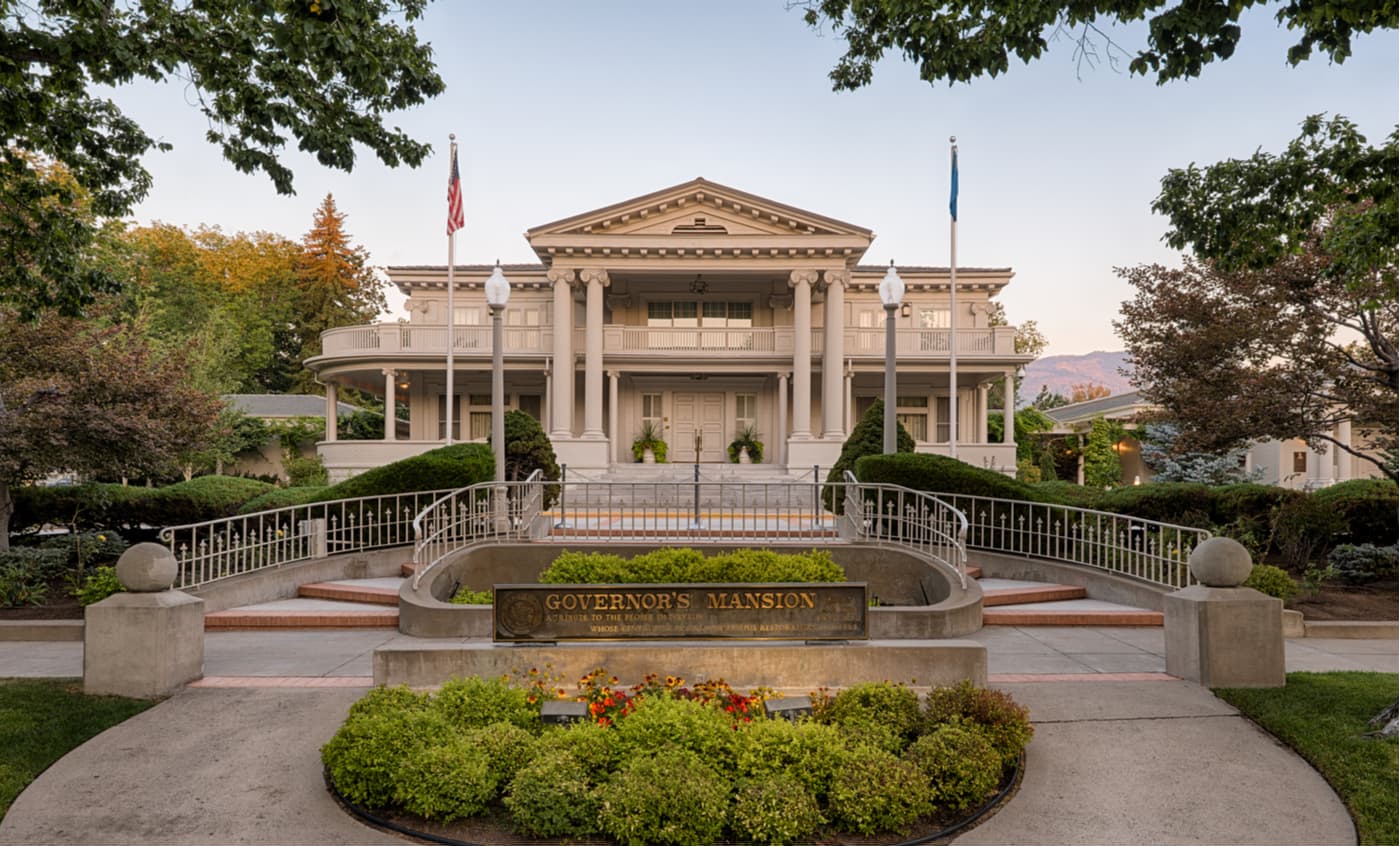
Carson City is located to the south of the Mount Rose Wilderness and is just east of Lake Tahoe. Carson City has a population of about 55,000 people and has plenty of shops, restaurants, and attractions to enjoy during your stay. Although it doesn’t have a major airport, Carson City is just a 30-minute drive from Reno, so it’s easy to get to.


nevada-peaks-club
western-state-climbers
western-state-climbers-star
sierra-club-sierra-peaks-section
sierra-sampler
tahoe-ogul
great-basin
great-basin-star
nevada-peaks-club
western-state-climbers
western-state-climbers-star
sierra-club-sierra-peaks-section
sierra-sampler
tahoe-ogul
great-basin
great-basin-star


