Get PeakVisor App
Sign In
Search by GPS coordinates
- Latitude
- ° ' ''
- Longitude
- ° ' ''
- Units of Length

Yes
Cancel
❤ Wishlist ×
Choose
Delete
Kosciuszko National Park nestles into the high country of south-eastern New South Wales, Australia. This is Australia’s alpine region and the biome includes a vast swathe of high tops, wild forested slopes and alpine streams when viewed in conjunction with the adjacent Alpine National Park across the state border in Victoria, and the Australian Capital Territory’s Namadgi National Park.

Australia’s capital, Canberra, is located just over two hours’ drive from the central region of the Park. From here, Kosciuszko is easily reached from the north via Tumut; or the east via Cooma. Tumut is a trendy spot with plenty of cafes and a vibrant outdoors aesthetic. Cooma, on the Monaro Plains, is the biggest town in the Snowy Mountains. The smaller centre of Jindabyne sits right at the Park’s doorstep, and being only half-an-hour’s drive to the trailhead for the Kosciuszko Summit Walk at Charlotte Pass, it’s a bustling tourist hub. Adaminaby is a fisherman’s favourite – home of the ‘Big Trout’ and the welcoming Snow Goose Hotel.
The highest peak is famous Mount Kosciuszko (2228 metres elevation) – Australia’s highest mountain. Australia’s top 10 highest mountains are all to be found in Kosciuszko National Park, in fact. The Main Range Walk – a big drawcard – takes in many of these.
The Park covers an area of 6,900 square kilometres and is the largest in New South Wales. It comprises part of the Australian Alps – the highest region of the Great Dividing Range.
Within this, the high peaks are classed as having an alpine climate – a rarity for Australia. Here is where to find alpine heaths and herb fields, bogs, fens and the exceedingly delicate and vulnerable feldmark ecosystem – another real rarity for Australia. Dropping below the tree line and the iconic snow gums, Kosciuszko is characterised by tall eucalypt forest.
Many threatened plants and animals call the Park home. Kosciuszko is hugely valuable for alpine-adapted species particularly, being the largest protected area containing their habitats. Species like the southern corroboree frog are only found within the Park.
Kosciuszko is a true winter sports destination with the Main Range receiving reliable winter snowfalls. Outside of the snow season the same areas offer fantastic walking and mountain biking trails. There are heritage-listed huts to visit and camp at, caves to explore, waters to paddle and Snowy Mountains brumbies to spot. Fishing is another big drawcard for visitors, with the Park having some of the best trout fishing available on the Australian mainland; and trophy Murray cod a good prospect in Blowering Dam.
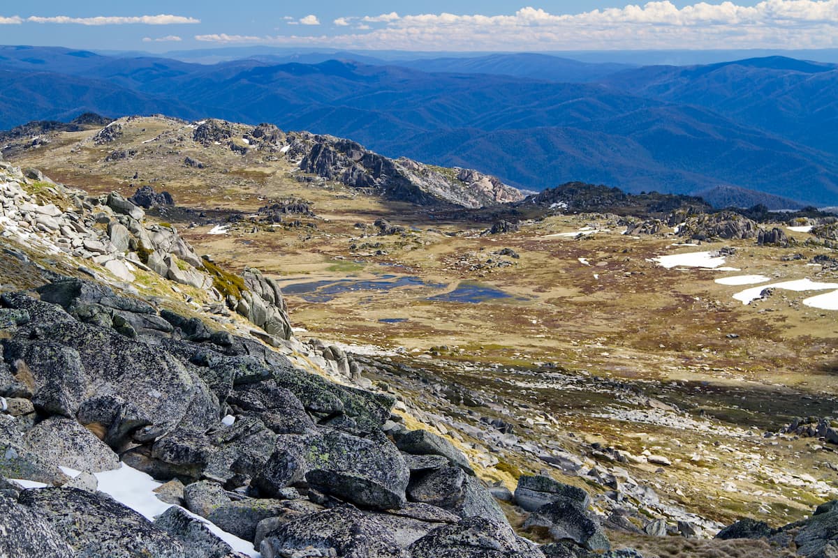
Depending on the intended destination; there are three access routes for the Park. The Snowy Mountains Highway cuts through the middle of the Park and runs between Tumut and Cooma, with Adaminaby roughly in the middle. Coming from the west or north, take the Hume Highway to Tumut; or from the east head to Cooma on the Monaro Highway. Getting to Jindabyne and the south-east of the Park is via Jindabyne Road just south of Cooma.
Kosciuszko can be broken into seven key areas; those being Thredbo-Perisher, the Lower Snowy River, Khancoban, Selwyn, Yarrangobilly, Tumut and the High Plains. Thredbo-Perisher, the Lower Snowy and Khancoban are best reached from the east; each of these destinations offers some unique features to experience.
Thredbo-Perisher is the destination for alpine adventure; being the access to Mount Kosciuszko and the Main Range; Perisher and Thredbo. Enjoy the snow in winter and bright, clear skies in summer when the plants are thriving and the outdoors inviting.
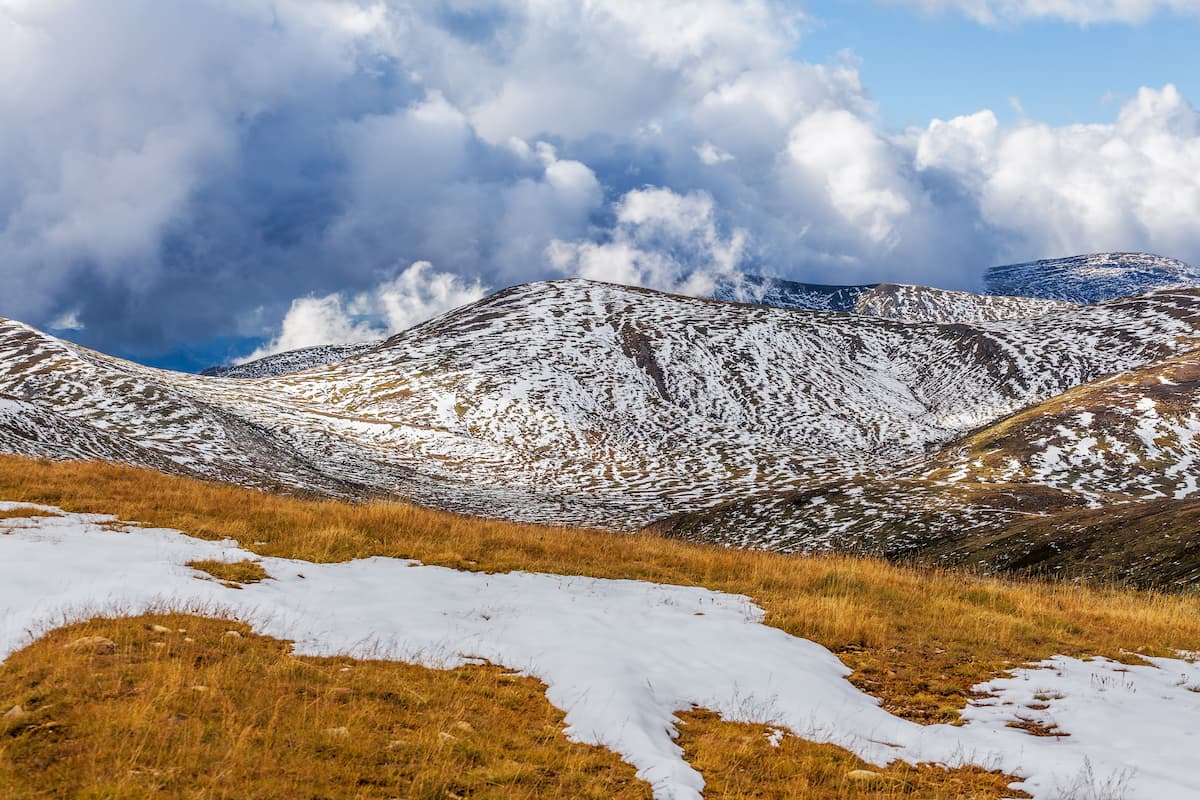
The Lower Snowy takes in the wilderness that tumbles off the ranges with the Snowy River. For quiet camping and bushwalking – or adventure paddling – this is the place to go.
Khancoban takes in the west of the Park. Driving the Alpine Way is a popular trip and gets in some fantastic views of the mountains along the way. The Khancoban to Kiandra Drive is another favourite summer route – however the road is closed over winter. A section of the Bicentennial National Trail (itself being an epic 5330 kilometres in total length) can be tackled from this side of the Park – either on foot or horseback.
Sadly, the Selwyn Snow Resort and nearby historic town of Kiandra were damaged beyond repair during the 2019/2020 summer bushfires. The bush is recovering, though, and Selwyn will be re-built. This central section of the Park is home to the high plains, upper Eucumbene River, fantastic summer hikes and winter cross-country skiing routes, horse riding and mountain biking routes. Relaxing campgrounds can be found at Three Mile Dam and Denison Campground; and historic huts dot the landscape.
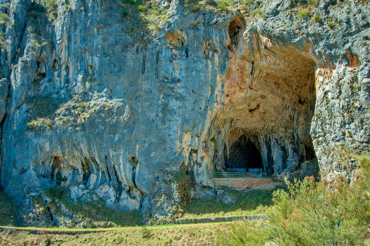
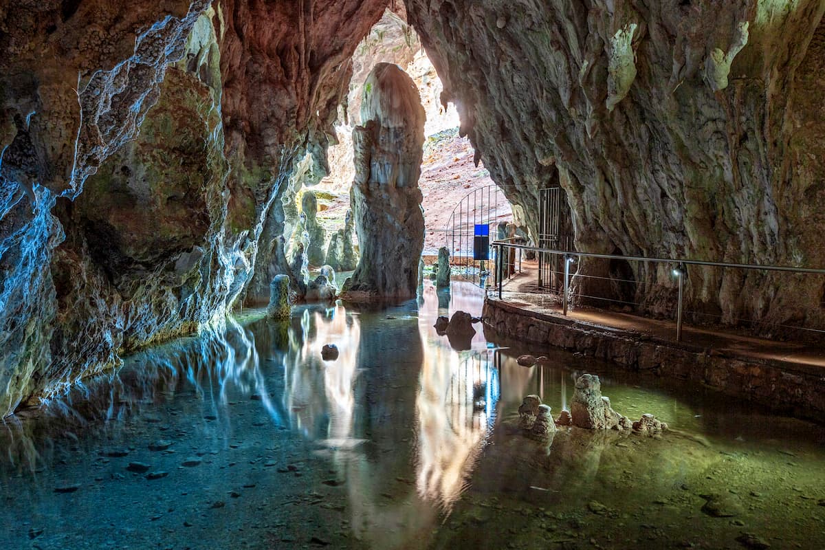
The Yarrangobilly area sits in a rugged and spectacular Karst landscape. The scenery on the forested mountain walks and from the lookouts is well worth experiencing; while the limestone geology has also formed the beautiful Yarrangobilly Caves system. Self-guided and guided tours can be taken, and information gained at the Yarrangobilly Caves Visitor Centre. There’s also a thermal pool to take a dip in.
Hitting the Tumut Visitor Centre is a good idea to start a trip around the Tumut area in the north of the Park. There are lots of out of the way walks in the forests, waterfalls to find and quiet campgrounds. Off the Snowy Mountains Highway, traversing the higher ground, Black Perry Lookout is a good one; or a longer detour takes hikers and four-wheel drivers to Landers Falls lookout. Good fishing and boating is to be had in Blowering Dam and wildlife; kangaroos, wombats and birds; is abundant on the shores of the reservoir.
There is some great high country camping to be had on the High Plains, unless the quaint cottage and homestead accommodation is more your style. Historically, the High Plains was summer cattle grazing country and wild brumbies still roam across the open snow grass grasslands. There are some great walks to the Clark and Nichols gorges, and mountain biking or horse riding are also fun summer activities.
Kosciuszko is home, unsurprisingly, to some of the best alpine hiking in Australia. Kosciuszko itself is the most widely known summit, being the tallest mountain in Australia. Add to that the fact that it’s smack-bang in the middle of the most popular ski resorts that the country has to offer, and it’s really popular.
The surrounding Main Range is a destination for all hikers wanting to bag Australia’s high peaks, and being so close together, can all be explored over a few days. The alpine vegetation and high country snow gum woodland is iconic for the region, and summer visitors marvel at the wildflowers that bring the area to life. Further afield, the High Plains and surrounding Selwyn area are also picturesque high country destinations that can be explored over the many walking tracks, along the shores of the mountain streams, or on your own off-track explorations.
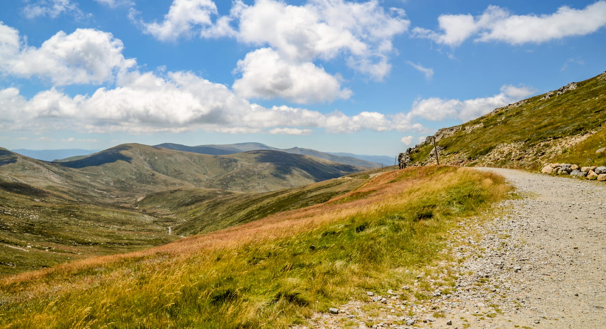
Thredbo-Perisher Area – Thredbo is reached heading west from Jindabyne on Kosciuszko Road before taking a left onto the Alpine Way. Perisher and Charlotte Pass can be accessed by continuing through on Kosciuszko Road. Charlotte Pass can’t be driven to during winter. It can be reached on the Skitube train running from Bullocks Flat terminal off the Alpine Way; or on the over-snow transport vehicles departing Perisher.
This is where to go to take in the rooftop of Australia – the Main Range and Mount Kosciuszko. Mount Kosciuszko itself can be walked to from Thredbo, over a 13 kilometre return trail. The Summit Walk from Charlotte Pass is a little tougher walk over an 18.6 kilometre return track – suitable for bikes for most of the way. These trails can be combined to take in more of the scenery, rather than walking there and back over the same course; or can be tied in to the Main Range Walk.
The Main Range Walk has to be the poster child for the Park. It’s a 22 kilometre loop starting from Charlotte Pass. It can get pretty busy at the trailhead car park so aim to arrive early to ensure a spot – otherwise you might be parking on the road. It starts with a crossing of the Snowy River headwaters, with offshoots to the pretty Blue Lake and Mount Twynam (2197 metres). The walk also ticks off Carruthers Peak (2147 metres), Mount Townsend (2203 metres), skirts Muellers Peak (2129 metres), Mount Kosciuszko (2228 metres) and Etheridge Ridge (2183 metres) before heading out along Summit Road.
Other peaks well worth making a visit to include Mount Sentinel (1917 metres), Mount Stilwell (2040 metres), Mount Tate (2068 metres) – a great off-track experience – and the popular Porcupine Rocks, which provides an easy wander outside of Perisher.
The Thredbo Valley Track is an exciting mountain bike trail with something for everyone. Riders can choose family friendly circuits traversing up to 12 kilometres round trip; or serious riders can take on the adventure rides of up to 35 kilometres over to the Gaden Trout Hatchery.
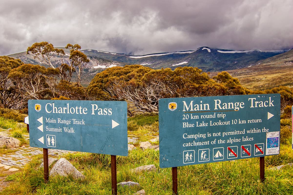
Of course, Thredbo, Perisher and Charlotte Pass are all snow resorts too, so winter activities are many and varied.
High Plains, Selwyn and Yarrangobilly areas – These three areas are close enough together to be easily driven between in a day’s exploring. It’s worth taking the time, though, to camp and walk in this heritage and scenery rich landscape.
Clarke Gorge, and the offshoot track to Nichols Gorge, is a photographer’s paradise. The sheer cliffs of the Cave Creek gorges make for spectacular viewing. It’s off the beaten track, 25 kilometres off the Snowy Mountains Highway following Long Plain Road and Blue Waterholes Trail.
Selwyn area has some good strolls in the historic gold mining precinct around Kiandra. The Kiandra Heritage Walk is an easy introduction and meanders through the historic features over its 1.2 kilometre loop through the grasslands. Goldseekers Track, starting from Three Mile Dam, is another easy route that cuts through the iconic snow gum woodlands and snow grass fields of the high country. In the winter, it’s a well-worn snowshoe and cross-country ski route too. In fact, the area around Selwyn has many great winter trekking routes which criss-cross around the countryside.
The Yarrangobilly Caves, accessed from the visitor centre off the Snowy Mountains Highway, is a must-see in the north of the Park. Some caves can be walked through solo, or take a guided tour of others to learn more about the otherworldly features. Yarrangobilly River Walk is a short and scenic route starting at the Glory Hole carpark. Along the way there’s the option to stop off at the thermal pool; or have a swim in the river itself. Glory Farm Walk and Castle Cave Walk add a little extra exploration to the walk, both being short and relatively easy going. The walk to Castle Cave takes in some great scenery, and guided tours of the cave itself can be arranged at the visitor centre.
Other Walks –Buddong Falls Walking Track is a hidden gem in the Park. From Talbingo off the Snowy Mountains Highway, travel on past Tumut 3 Power Station and take a right onto Power Line Road. Head on to find the Buddong Falls sign and park at the campground. There are also four-wheel drive tracks that reach it from the adjacent Buddong State Forest. It’s only a 2.2 kilometre return track to the falls, but that traverses some pretty steep country.
The 21 kilometre Tom Groggin to Geehi section of the Bicentennial National Trail cuts through the south-west of the Park. It can be traversed on foot, bicycle or horseback, and follows the Murray River – that great artery of the inland – at this point a young and vibrant stream. Tom Groggin campground is reached from Thredbo, travelling south-west on the Alpine Way. Geehi is reached from Khancoban.
There are some big wilderness areas contained within the Park as well. The Byadbo Wilderness has never been widely explored, and the legendary Snowy River cutting through it is a wild destination. Guided white-water paddling tours can be booked through the Snowy River Wilderness Experience – with the Aboriginal guide sharing the area's ancient history.
Then there’s the Pilot Wilderness, with its 53 kilometre wilderness mountain bike ride.
The alpine Jagungal Wilderness north of the Main Range, in the central region of the Park, encompasses remote plains and creek flats. The Round Mountain Hut Walking Track is a short 4 kilometre starter to the area, but self-sufficient hikers and mountain bikers can take on the wilds properly over extended trips.
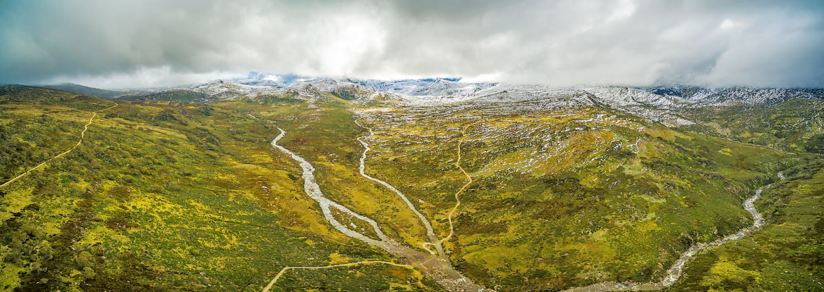
The Park is well serviced by towns and resorts, being a premier snow sports destination. The ski resorts of Perisher, Thredbo and Charlotte Pass come with all that’d be expected, and more varied accommodations, shopping and exploration can be discovered in the surrounding towns; Jindabyne, Cooma and Tumut.
Several villages are also worth a visit or night’s accommodation. Adaminaby, near Lake Eucumbene, is a nice spot with accommodation in town and in various holiday cottages and parks in close vicinity – like the Eucumbene Township, Anglers Reach and Providence Portal. Cabramurra, the highest town in Australia, is located within the Park, and though it only provides accommodation for workers associated with Snowy Hydro, the bistro and bar provides some really good food.
Cooma is the largest town in the Snowy Mountains region, located 1.5 hours south of Canberra on the windswept Monaro Plains. It’s a place with plenty of character, a bustling main street, snow gear rentals, along with the informative Snowy Mountains Hydro Discovery Centre. For the angling tourist, guided fishing is available, and the Alpine Angler shop is a valuable trove of Kosciuszko fishing information and tackle that’ll catch the locals.
There are some cosy pubs in town, and the full range of accommodation from budget to high-end.
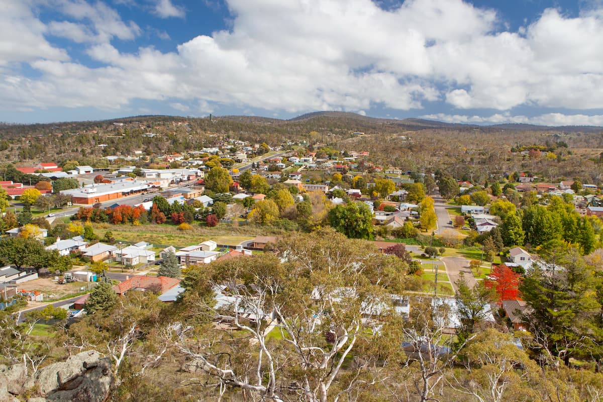
With Jindabyne less than an hour away, and the Park just beyond that, it’s a good jumping off point. For the Cooma based, heading east for 1.5 hours reaches Bega and the wonderful South Coast region of New South Wales.
Tumut is reached from the Hume Highway, 1.5 hours east of Wagga Wagga or just over two hours around from Canberra. It’s a lovely spot to visit in autumn when the planted poplars and other trees are taking on golden brown hues before dropping their leaves. The Festival of the Falling Leaf takes all of this in.
Summer time is to be spent on and around the waters of the Tumut and Goobarragandra rivers, and Blowering dam. From swimming and paddling through to guided fishing, the waterways have a lot to offer.
Tumut itself has an active main street with plenty of shops and cafes to visit. Then there’s Tumut River Brewing Co to check out, and the 5Ways Gallery for art and local crafts.
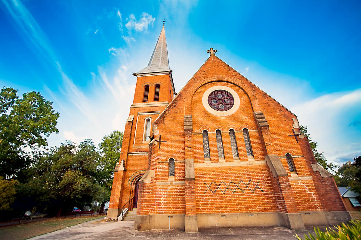
The surrounding area backing into the National Park provides plenty of campgrounds; or visitors can choose from the range of accommodations in and around town.
The village of Jindabyne, on the shores of the man-made lake of the same name, is a major hub for those visiting Kosciuszko National Park. Just down the mountain from the Thredbo-Perisher area of the Park, alpine activities are at visitor’s fingertips.
In the summer, Lake Jindabyne is a popular feature for paddling, boating and trout fishing enthusiasts. Lake Crackenback Resort and Spa, just down the road, offers luxury, relaxation and a great mix of outdoor adventures.
Get there from Cooma along Kosciuszko Road.
Thredbo is a beautiful village nestled in the mountains and brims with adventure and outdoors activities throughout the year. Taking a ride on the Kosciuszko Express Chairlift ends up at the trailhead for the walk up Mount Kosciuszko; skiing at Charlotte Pass in the winter or mountain biking back down to Thredbo in the warmer months.
Thredbo is also recognised as a premier stream trout fishing destination, so anglers have got plenty of spots to explore too.
Accommodation is plentiful and caters to all tastes. Thredbo YHA Snowy Mountains is hugely popular for travellers on a budget and is a great hostel to hang about at the end of a day of fresh air and mountain vistas. Remember to book ahead for busy seasons!
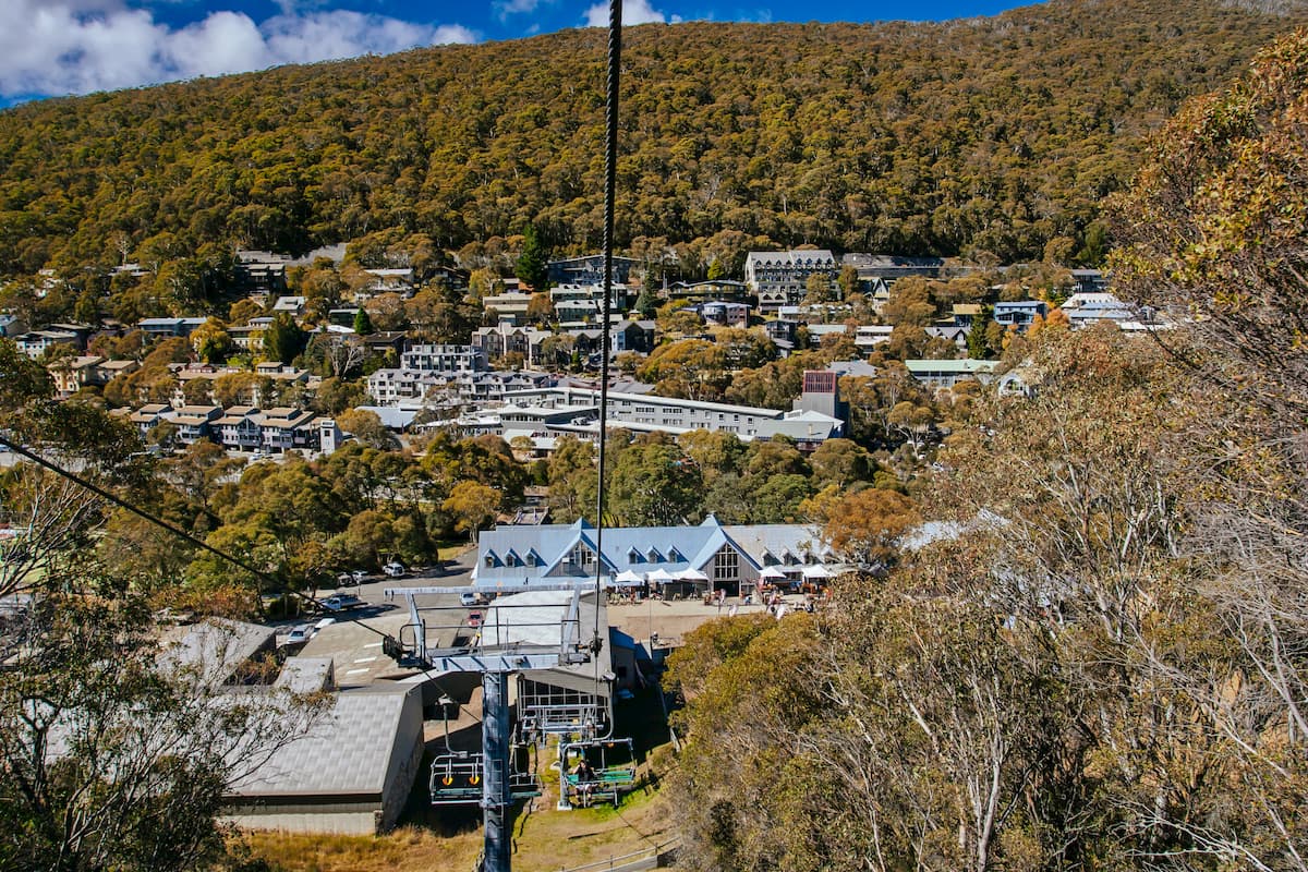
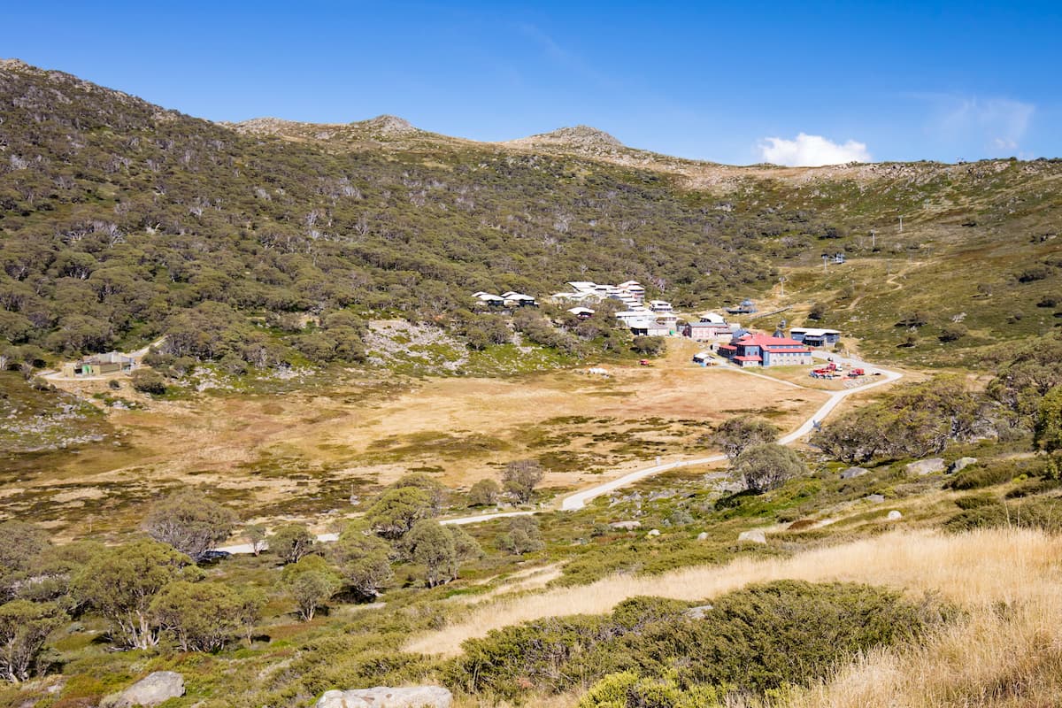
Charlotte Pass is the highest (1765 metres), and oldest, ski resort destination in Australia. It’s right up there by the Main Range and Mount Kosciuszko, so apart from the skiing and snowboarding, it’s a prime spot for hikers out to bag an Aussie mountain or two.
Why not spend some time at the birthplace of Australian skiing – the Kosciuszko Chalet Hotel – and soak up a bit of the history from its 1930 beginnings.
Charlotte Pass is only accessible by the Skitube or over-snow transport vehicles during the winter (June to October), adding to the winter-wonderland feel of the destination.
For skiing and snowboarding enthusiasts, there are 4 ski resorts in Kosciuszko National Park, which are located on the namesake Mount Kosciuszko (2,228 m / 7,309 ft), the highest peak in Australia. So it is also the main area for skiing in all of the Australian Alps, the highest region of the Great Dividing Range, which, in turn, is the main mountain range in the country.
The largest ski resort in Kosciuszko National Park is Perisher with more than 65 km (40 mi) of slopes and more than 50 ski lifts. Other areas for skiing in Kosciuszko National Park are located just nearby including Thredbo with more than 50 km (31 mi) of slopes and more than 10 ski lifts, as well as Charlotte Pass and Selwyn Snowfields with more than 10 km (6 mi) of slopes, and more than 3 ski lifts each. These are also the main ski resorts near Sydney, the largest city in New South Wales, and Australia.
Check the New South Wales ski resorts map as well as the larger Australia ski resorts map in the World Mountain Lifts section of the site. It includes information about open ski lifts / slopes in New South Wales in real-time with opening dates and hours. There are also year-round cable cars, funiculars, cog railways, aerial tramways, and all other types of mountain lifts.
Perisher is the largest ski resort in the southern hemisphere. It’s taken the four closely associated villages – Perisher Valley, Smiggin Holes, Guthega and Blue Cow – to make the ultimate snowfields destination.
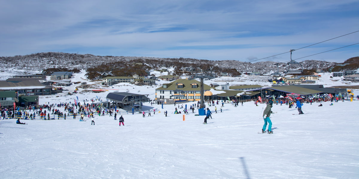
It’s accessed by road from Jindabyne, or on the Skitube which links to Bullocks Flat on the Alpine Way.
With the combined facilities of the four resorts, accommodation and dining abounds – it’s hard to take a pick of the best options.
Explore Kosciuszko National Park with the PeakVisor 3D Map and identify its summits.


