Get PeakVisor App
Sign In
Search by GPS coordinates
- Latitude
- ° ' ''
- Longitude
- ° ' ''
- Units of Length

Yes
Cancel
❤ Wishlist ×
Choose
Delete
Indiana Dunes National Park is an area of federally managed and protected land located in the northwestern part of the US state of Indiana. The national park is situated along the southern shores of Lake Michigan, and it features 35 named high points. The tallest and most prominent peak in the park is Mount Tim, which is 771 ft (235 m) in elevation and has 161 ft (49 m) of prominence.
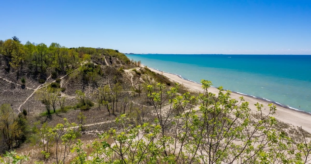
Indiana Dunes National Park is located in northwest Indiana along the shores of Lake Michigan. The state of Indiana encompasses only a small section of the shoreline of the lake as much of Lake Michigan is located in the nearby states of Michigan, Wisconsin, and Illinois.
The national park boasts 15,349 acres (6,212 ha) of terrain along the shores of Lake Michigan, and it includes both rolling sand dunes and dense forests. Though the park is relatively small in size when compared to other national parks in the US, it is home to some of the most pristine terrain in the state.
Furthermore, the park contains 15 miles (24 km) of shoreline along Lake Michigan as well as some of the largest sand dunes in the eastern US. Some of these dunes even reach heights of nearly 200 ft (61 m). Meanwhile, the expansive Lake Michigan gives park visitors the appearance of being by an ocean or sea even though the lake consists of freshwater.
Besides the shoreline, Indiana Dunes National Park also features sections of old-growth forests, wetlands, and prairies. The park features some non-contiguous areas, too, that extend into Porter and LaPorte counties.
While Lake Michigan is the dominant water feature in the region, the park also boasts various creeks and rivers. Some of the most notable creeks in the park include Dunes Creek, Salt Creek, and Trail Creek. The East Arm Little Calumet River also flows through the landscape before emptying into Lake Michigan.
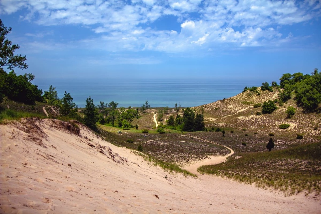
Other important landforms and features of Indiana Dunes National Park include the region’s wetlands, swamps, marshes, and bogs, as well as its black oak savannas.
Additionally, Indiana Dunes National Park is situated near a number of other popular outdoor recreation areas.
For example, the Wykes-Plampin Nature Preserve and Meadowbrook Nature Preserve both lie directly to the south of the park while the Tippecanoe River State Park and Grand Kankakee Marsh are situated even further to the south. Grand Mere State Park and Boyle Lake State Wildlife Area also lie to the northeast of Indiana Dunes in the state of Michigan.
Indiana Dunes National Park is located within the Lake Michigan Basin, which was formed during the Wisconsin Glacial Period. The southern shores of Lake Michigan were created as the Michigan Lobe of the continent’s vast ice sheets began retreating around 20,000 years ago.
Prior to this period of glacial retreat, around 40,000 years ago, the Valparaiso Moraine began shaping the landscape in the region. The moraines in the area created artificial dams along the southern shores of the region’s many glacial lakes. As the water levels in the lakes continued to recede, the shoreline was left with a collection of dune-like ridges.
The land within the park is part of the oldest visible shoreline on Lake Michigan, which is often referred to as the Calumet Shoreline. The dunes that are visible today were also created by four major proglacial lakes: Lake Chicago, Lake Algonquin, Lake Chippewa, and the Nipissing Great Lakes.

The changing water levels of the current Lake Michigan, coupled with the flow of the region’s many creeks and streams, further shaped the sand dunes over the course of millennia. The strong currents in the lake also formed numerous inland bays that featured wide sand spits. As these sand spits merged with the existing shoreline, dune ridges would begin to form. These dune ridges eventually became the dunes we see in the park to this day.
Some of the major peaks that are found within the park include Mount Tim, Mount Tom, Mount Everest, Mount Allison, and Mount Tuthill.
The land within Indiana Dunes National Park is part of the central forest-grasslands transition ecoregion. Despite the park’s relatively small size, a variety of both flora and fauna are able to thrive within its borders.
Some of the mammals that are commonly spotted by visitors in the park include white-tailed deer, eastern cottontails, eastern fox squirrels, white-footed mice, American badgers, Indiana bats, and meadow voles.
A variety of water birds, birds of prey, and ground birds live in the region in and around the park, too. Some of the most notable species that live in the park include sandhill cranes, solitary sandpipers, sanderlings, common loons, double-crested cormorants, great blue herons, Canada geese, turkey vultures, and red-tailed hawks.
The park’s various waterways and wetlands also provide the perfect habitat for common snapping turtles, painted turtles, slender glass lizards, eastern hognose snakes, and common watersnakes to thrive. Multiple species of shiners, salmon, bass, and sunfish can be found in the park's many surrounding waterways, too.
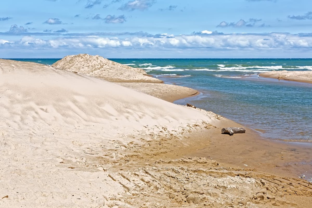
Additionally, as it is home to over 1,100 flowering plants, Indiana Dunes National Park is one of the most biodiverse national parks in the country. Common plant species found in the park include milkweed, wild grape, bearberry, beach pea, poison ivy, wild grape, and cottonwood trees. Oak and hickory trees are also found in the park’s hardwood forests.
Humans have inhabited the land surrounding Indiana Dunes National park for thousands of years. This region of land is part of the ancestral homelands of the Kiikaapoi (Kickapoo), Peoria, Kaskaskia, and Bodwéwadmi (Potawatomi) tribes.
The land in what is now the national park isn’t thought to have historically been home to many permanent settlements. But it’s believed that this land was perhaps used as a seasonal hunting ground by many of the Tribes in the region.
European settlers first made contact with the Indigenous people who were living in the region sometime during the early 1600s. After making contact with the Tribes in the region, some settlers established remote fur trading posts along the Wabash River. Following the Seven Years’ War, the British took control over these primarily French settlements and continued trading with the Indigenous peoples who were living in the area.
During the nineteenth century, Indigenous villages and settlements began to grow in the area surrounding the sand dunes. This period of growth was shortly followed by an influx of settlers who drove the Tribes out of the area. Some of these colonized settlements grew into towns and cities while others, such as City West, were soon abandoned and became ghost towns.
The arrival of more settlers resulted in the forced removal of Indigenous people from the region. Many of the Indigenous people who lived in the area were also forcibly relocated to other parts of the country.
For example, although their ancestral homelands are primarily located around the Great Lakes, nowadays, many Kiikaapoi (Kickapoo) people are members of three federally recognized tribes in the United States: the Kickapoo Tribe in Kansas, the Kickapoo Tribe of Oklahoma, and the Kickapoo Traditional Tribe of Texas.
In 1899, botanist Henry Chandler Cowles published a report called “Ecological Relations of the Vegetation on Sand Dunes of Lake Michigan” in the Botanical Gazette, which detailed the uniqueness of the plant life on the dunes near Lake Michigan. This report spurred a movement among local residents that sought to protect and preserve the habitat of the dunes.
The release of this report was followed by a number of important events in the region. One of these events was the disappearance of the Hoosier Slide. The Hoosier Slide was a very large sand dune that was once located in the area, but was completely destroyed by sand mining activity as the sand in the dune was very valuable for the glass-making industry.
Around the same time, Stephen Mather, the first director of the National Park Service, took a tour of the sand dunes in the area. Mather also held a series of hearings in Chicago on whether or not the park service should establish a national park to protect the dunes.
Despite all of this interest in protecting the dunes and the surrounding area, the progress of these preservation efforts was relatively slow. The first park to formally protect the dunes was established in 1926 in the form of Indiana Dunes State Park.
As a result of local organization efforts (led primarily by people such as Dorothy Buell) and the formation of the Save the Dunes Council, residents were able to buy additional areas of land over the next few decades. This included the acquisition of the Cowles Bog, which was actually the site of some of Henry Chandler Cowles’ fieldwork.
Then, in 1961, preservationists in the region were given a glimmer of hope that the US government might actually officially protect the Indiana sand dunes. That year, President John F. Kennedy made it clear that he supported the creation of the Cape Cod National Seashore in Massachusetts.
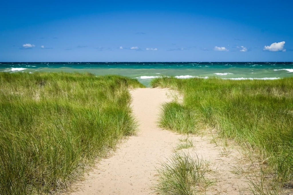
With the groundwork set for a similar type of park in Massachusetts, Senator Paul H. Douglas of Illinois started lobbying other members of Congress to convince them to establish a national lakeshore around the Indiana sand dunes.
In 1966, the creation of the Indiana Dunes National Lakeshore became a reality with the passing of Public Law 89-761. The initial lakeshore was relatively small in area; however, the Save the Dunes Council and National Park Service both worked to acquire land in the region to expand the lakeshore.
Over the following decades, the national lakeshore greatly increased in size. Furthermore, in 2019, Congress authorized a formal change in designation for the lakeshore. That year, the lakeshore was redesignated as Indiana Dunes National Park.
Indiana Dunes National Park is home to numerous trails and outdoor recreation areas. Here are some of the best hikes in Indiana Dunes National Park to check out during your next trip to the region.
The Cowles Bog Trail is the most popular hiking route in the national park. The bog itself was originally designated as a National Natural Landmark in 1965 due to its impressively high level of plant diversity.
This loop trail winds its way through the bog, and it offers great views of both Lake Michigan and the region’s towering sand dunes. It also provides visitors with a chance to see the park’s many ponds, swamps, and marshes. The loop trail is 4.3 miles (6.9 km) in length and it has 216 feet (66 m) of elevation gain.
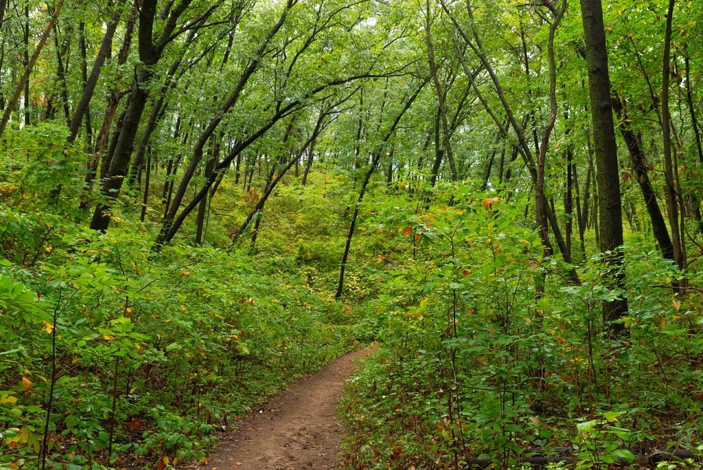
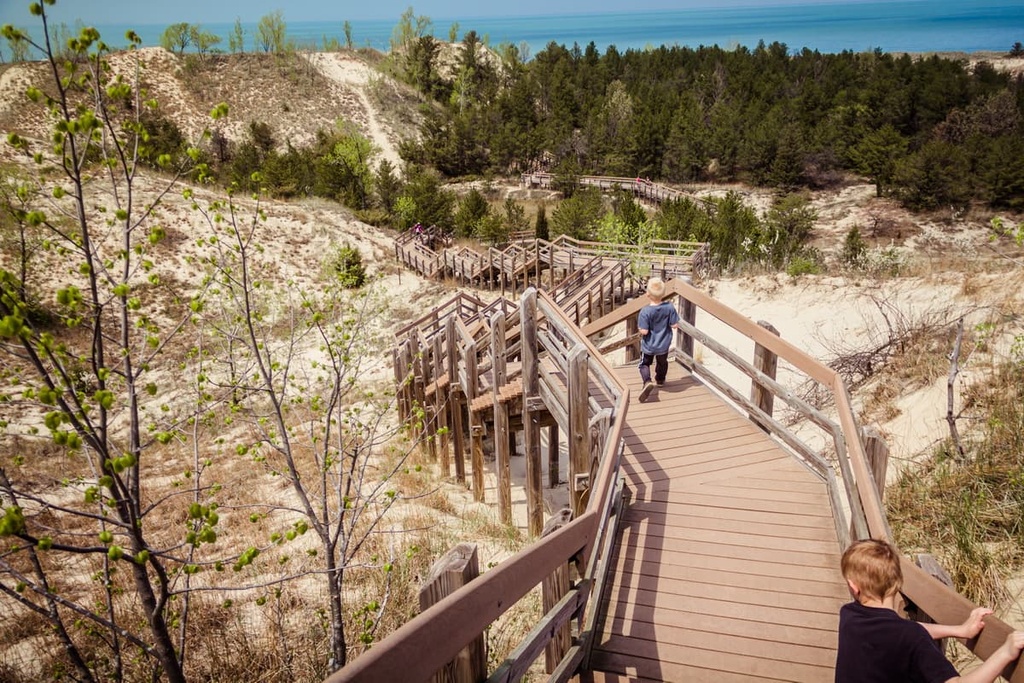
The West Beach–Dune Succession Trail is a shorter loop route that primarily travels along an elevated catwalk above the delicate ponds, swamps, and dunes of the park.
Hikers on this trail can witness the region’s ever-changing landscape as the path winds through the dunes on its way to West Beach. Additionally, trekkers on this path can either descend to the beach on a side trail to extend their hike or continue on the loop trail to head back to the parking lot.
This route is 1.1 miles (1.8 km) long and it has 95 feet (29 m) of elevation gain. You can also extend this trail if you want a chance to walk along the shores of Long Lake. This longer loop option, which is known as West Beach 3-Loop Trail, is 3.5 miles (5.6 km) in length and it has 255 feet (78 m) of elevation gain.
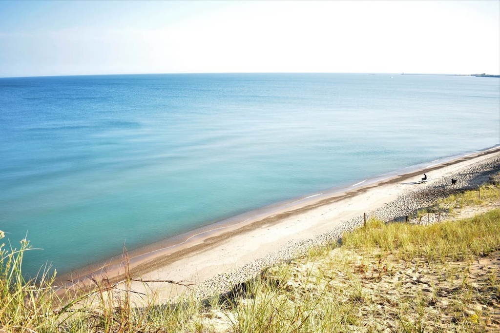
The Tolleston Dunes Trail takes you to the second youngest of the four dune systems found within the park. Located on the southern edge of the park, these dunes showcase how much the waterline of Lake Michigan has changed over the millennia.
Among the Tolleston Dunes lie oak savanna and wetland habitats. Hiking this route offers visitors a chance to experience a completely different landscape than what’s found in the rest of the park. This loop trail is 2.9 miles (4.7 km) long and it has 180 feet (55 m) of elevation gain.
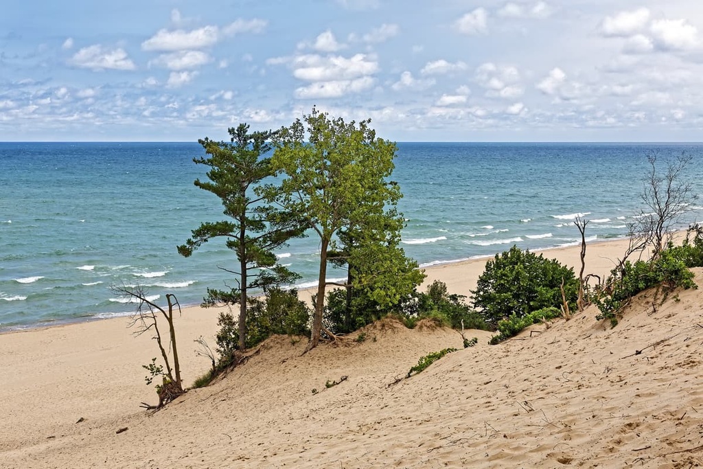
Looking for a place to stay near Indiana Dunes National Park? Here are some of the best cities and towns to check out in the region.
The city of Portage, Indiana, lies just to the southwest of the national park. With a population of around 38,000 people, Portage is the third most populous city in northwest Indiana. As it is situated along the southern shores of Lake Michigan, Portage also boasts plenty of hiking trails as well as opportunities for visitors to enjoy a variety of water-based activities.

Visitors to Portage can explore over 50 miles (80 km) of trails in Indiana Dunes National Park, which is located just a short distance to the north. The downtown streets of Portage feature local shops, restaurants, farmer's markets, and annual festivals for visitors to enjoy, and this quaint city offers a laid-back atmosphere that’s perfect for any family trip to the region.
Located an hour’s drive to the northwest of the park is the city of Chicago, Illinois, which is situated along the shores of Lake Michigan. Home to 2.7 million residents, Chicago is the most populous city in the Midwestern United States. The city is home to an iconic skyline along with incredible cuisine and a thriving arts scene.
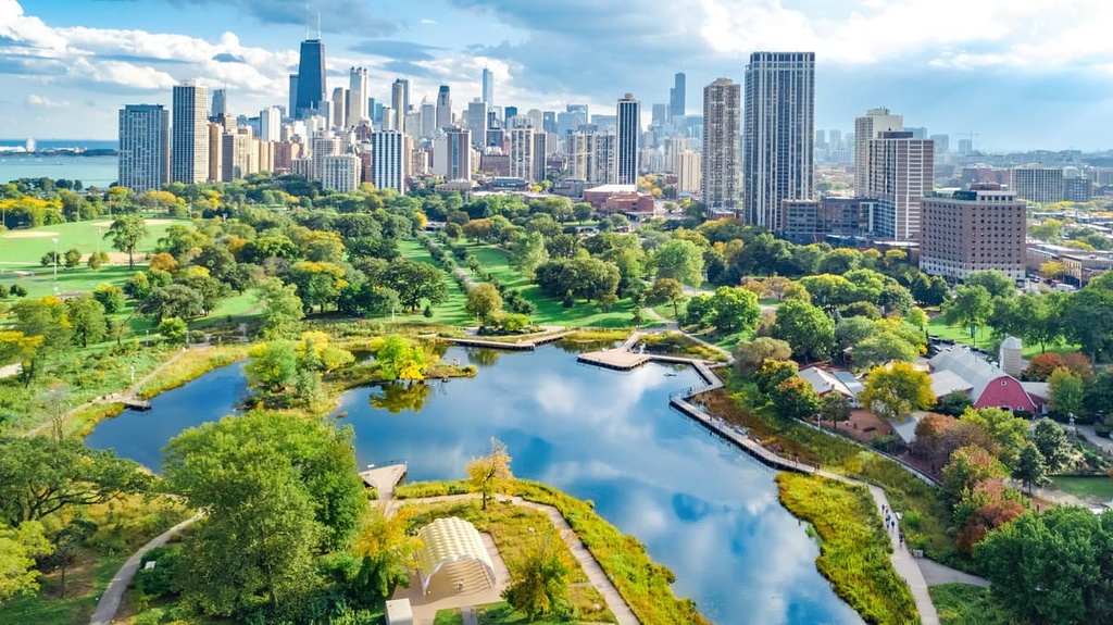
Visitors to the city can explore the Chicago History Museum, Museum of Science and Industry, and Field Museum. The Art Institute of Chicago also showcases some truly incredible works of art. Plus, for the foodies out there, Chicago is known for its deep-dish pizza and hot dogs, which you can enjoy while walking along the shores of the stunning Lake Michigan.
If that wasn’t enough, numerous jazz and blues clubs line the streets of Chicago, so there’s never a shortage of evening entertainment options in the city. In fact, each year the city hosts the Chicago Jazz Festival and the Chicago Blues Festival, so it’s the perfect destination for the music lovers among us.
Explore Indiana Dunes National Park with the PeakVisor 3D Map and identify its summits.


