Scan the QR code and open PeakVisor on your phone
Angel Island State Park is a picturesque protected area on a small island in San Francisco Bay. Located within the northern part of the US state of California, the 1.2 square mile (3.1 sq. km) Angel Island State Park has one named peak, Mount Caroline Livermore (791ft/241m).
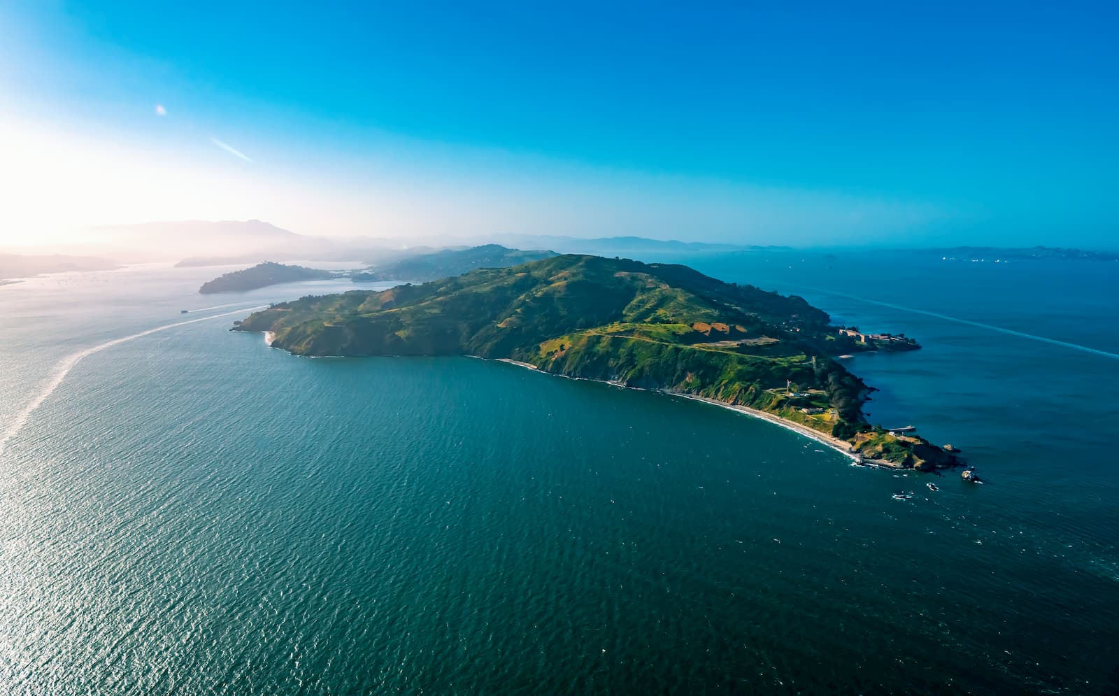
Angel Island State Park is located on Angel Island, which is situated in the northern part of the San Francisco Bay. It is the second-largest island in the bay and is almost completely located within Marin County, with just a small section of the eastern part of the island extending into San Francisco County.
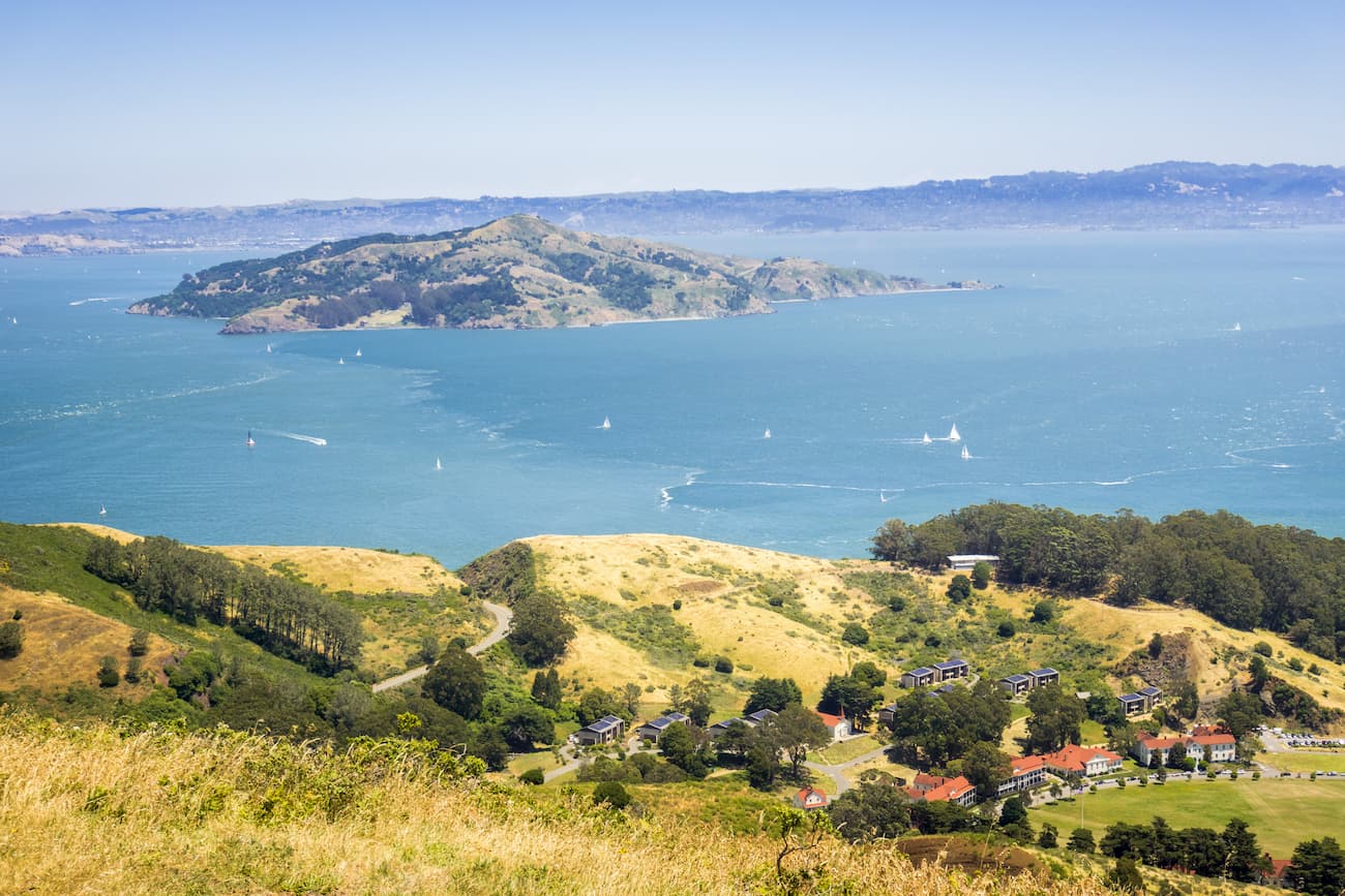
Angel Island is located south of Point Reyes National Seashore, the Phillip Burton Wilderness Area, the Mount Tamalpais Watershed, and the Mount Tamalpais State Park. It is separated from the mainland of Marin County and the city of Tiburon by Raccoon Strait, which is just under 2 miles (3.2km) long and 90 feet (27.4m) deep.
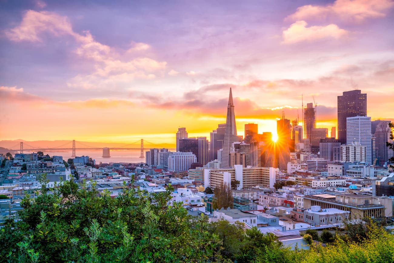
On a clear day, from the summit of Mount Caroline Livermore, which is almost exactly at the center of the island, one can see the San Francisco skyline, Mount Tamalpais, Sonoma, Napa, and San Jose.
The bedrock of Angel Island State Park is part of what’s known as the Franciscan Complex, which covers much of the northern California Ranges and the southern part of the Northwest US Coast Ranges. While the park’s geology is quite complex, it includes highly metamorphosed rocks as well as serpentine, sandstone, and conglomerates.
Interestingly, during the last glacial maximum, when the sea level was much lower and San Francisco Bay was a low-lying valley, the outflow from the Sacramento-San Joaquin river flowed through Raccoon Strait before heading directly to sea at the Golden Gate. Before that, some 10,000 years ago, Angel Island was actually attached to the mainland before sea levels rose high enough to cover Raccoon Strait and isolate the island.
Additionally, the summit of Mount Caroline Livermore was actually flattened during the 1950s to build a missile radar and tracking system. In 2002, the summit was re-contoured in an attempt to bring it back to its somewhat original appearance. This process caused the mountain to increase in height by 16 feet (4.9m).
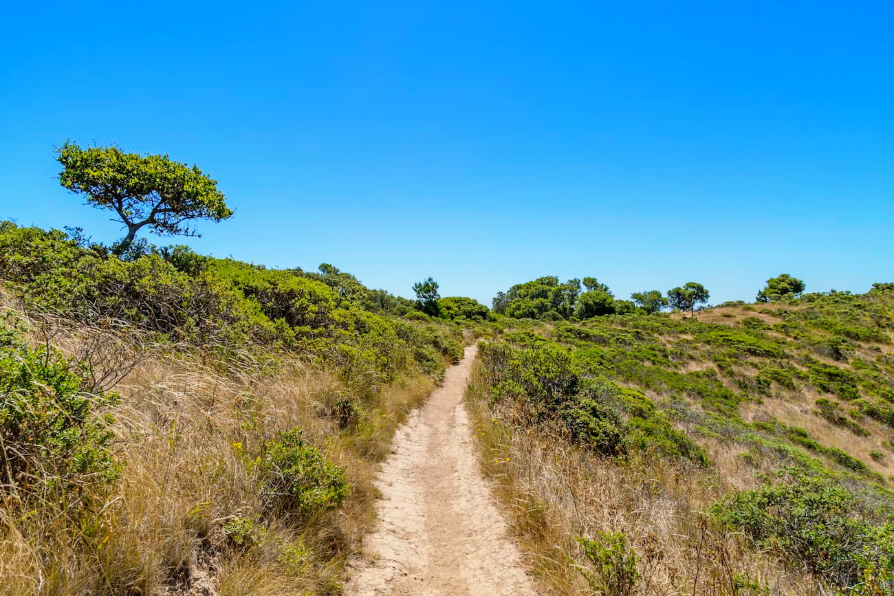
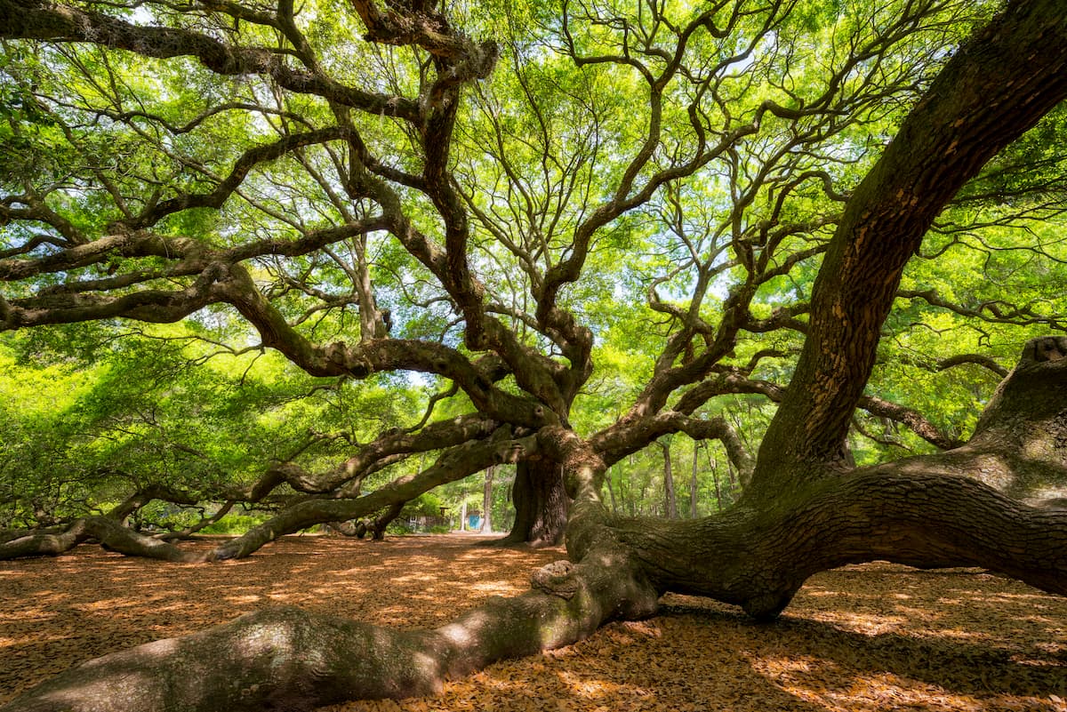
Angel Island is home to a number of different ecosystems, but it is mostly dominated by coastal grasslands and scrub. On the southern and western sides of the island, there are some small patches of evergreen woodland, which is dominated by coast live oak, madrone, toyon, and bay (Umbellularia californica).
Bluegum eucalyptus is also prevalent on the island, though it is not native. It was planted by the US military in the early 20th century as a way to control erosion, provide some shelter from the wind, and to serve as a source of timber. The eucalyptus population quickly grew out of control and nearly all of it was removed in the late 1990s, though a small portion of the forest exists to this day.
The military also introduced mule deer to the island in the early 20th century. However, due to the absence of predators on Angel Island, the population of deer quickly grew and started to overgraze the island. These days, California State Parks, as well as the Department of Fish and Game, are in charge of managing the mule deer population.
Angel Island State Park was the site of a fire in 2008, which burned over 380 acres (300 ha), or just over half the island. This fire burned significant portions of the evergreen woodland, including several stands of Monterey pine. But, San Francisco Bay Area firefighters and the US Coast Guard were able to extinguish the fire before it damaged any man-made structures.
Coast Miwok people and their ancestors lived on the island for thousands of years before the arrival of European settlers. When Spanish sailor Juan de Ayala and his ship became the first Europeans to enter San Francisco Bay, they anchored off of Angel Island.
After Europeans and European-Americans began establishing permanent settlements in California, Angel Island became used predominantly for cattle ranching. By the start of the American Civil War, however, the US Army became concerned that the Confederate Army was going to attack San Francisco so they started to fortify the island at what is now known as Camp Reynolds.
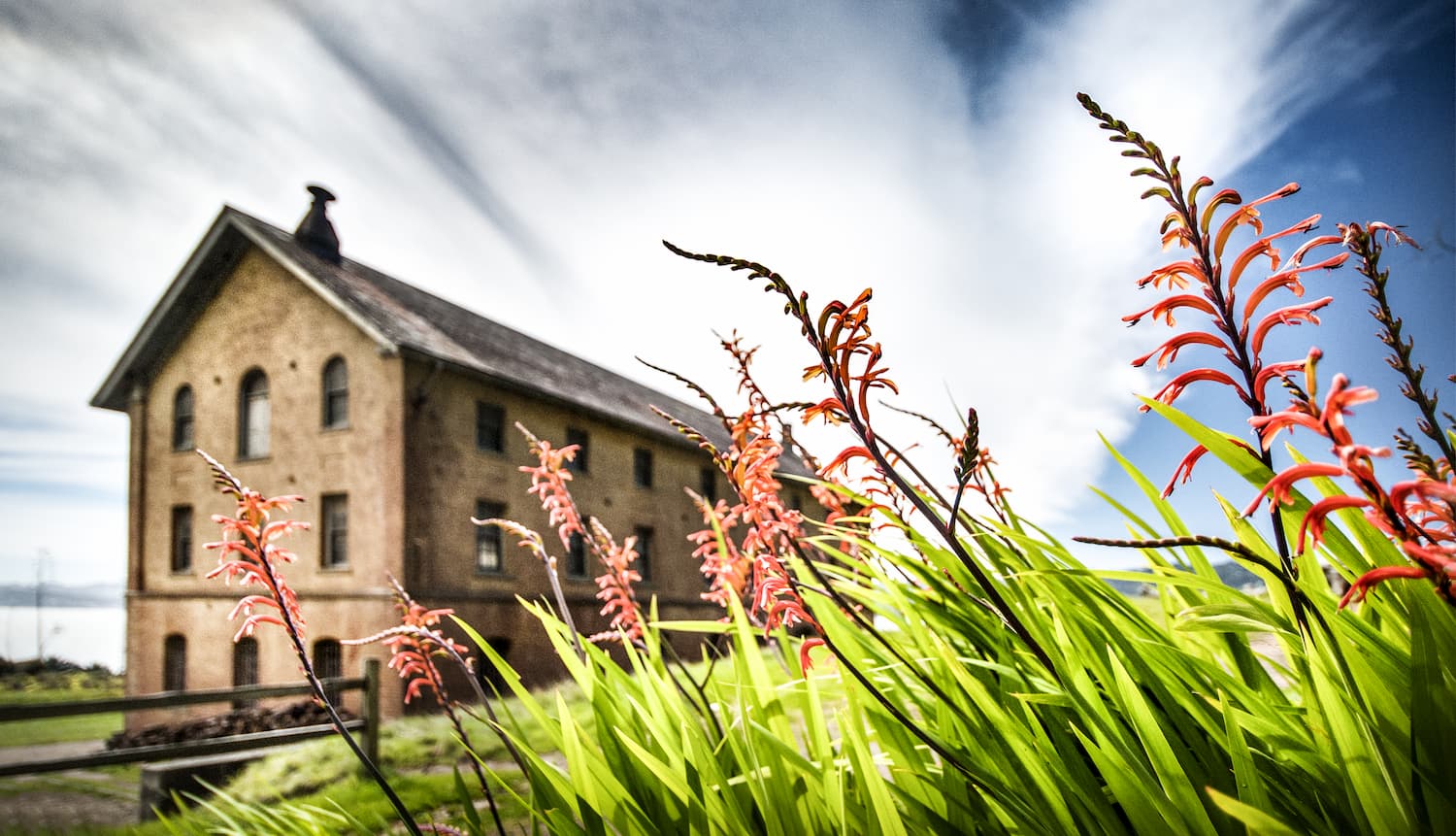
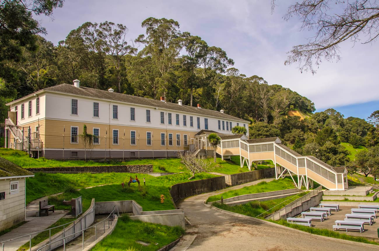
The US Army later designated all of Angel Island as “Fort McDowell, turning it into a military installation. They later created a quarantine station on the island in 1891 to screen any incoming immigrants and tourists from Asia for the Bubonic plague. It was also used to “screen” immigrants from Asian countries in the aftermath of the Chinese Exclusion Act.
Immigrants entering through Angel Island were subject to brutal and humiliating examinations and were often detained for weeks, months, or years. In 1964, the island’s immigration station became a National Historic Landmark in order to better educate the public on the island’s tumultuous history.
At the height of World War II, Angel Island was used as an internment camp for Japanese, Italian, and German immigrants of Hawaii, despite the fact that there was no supporting evidence of wrong-doing. These detainees were later transferred to other internment camps on the mainland. Later during the war, both Japanese and German prisoners of war were held on Angel Island before its decommissioning in 1947.
In 1955, California State Parks purchased 38 acres (15 ha) of land on the island, officially creating Angel Island State Park. After the Department of Defense officially left the island in 1962, the entirety of Angel Island was redesigned as a state park.
These days, the island is still home to one active US Coast Guard lighthouse at Point Blunt. It is also a popular tourist destination due to its proximity to some of the most densely populated cities in California.
Access to Angel Island is by boat only and there are public ferry options that leave from Tiburon, Vallejo, and San Francisco. There are also a few campsites on the island for those that want to stay the night. Here are some hiking options to check out on your next visit:
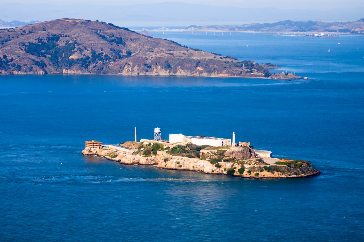
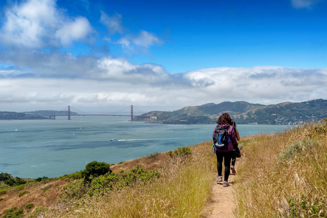
The 5.5 mile (8.9km) Perimeter Trail takes hikers on a walk around the entire island. It is one of the most popular trails on Angel Island and it offers great views of the Golden Gate Bridge, Alcatraz Island, and San Francisco.
The path to the summit of Mount Caroline Livermore follows the Sunset trail and climbs from sea level to the peak over the course of 3 miles (4.8km). It is a fairly difficult hike by island standards but offers great views of the surrounding region.
Although Angel Island is home to a tiny group of residents and a small campground, most visitors to the park will stay at a nearby hotel. Here are some of your options:
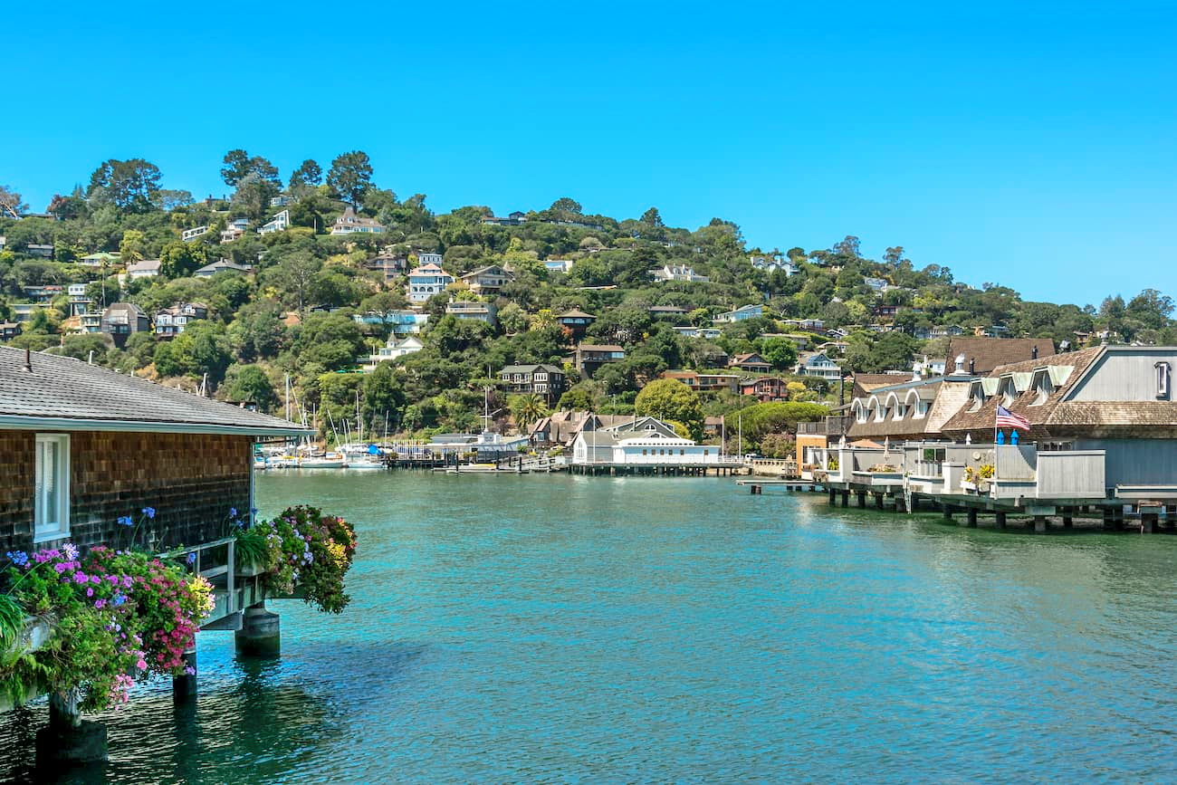
Tiburon is a city in Marin County that’s located just across Raccoon Strait from Angel Island. It is home to around 9,000 residents and has regular ferry service to the island. Tiburon is a commuter town and is easy to get to by road from San Francisco.
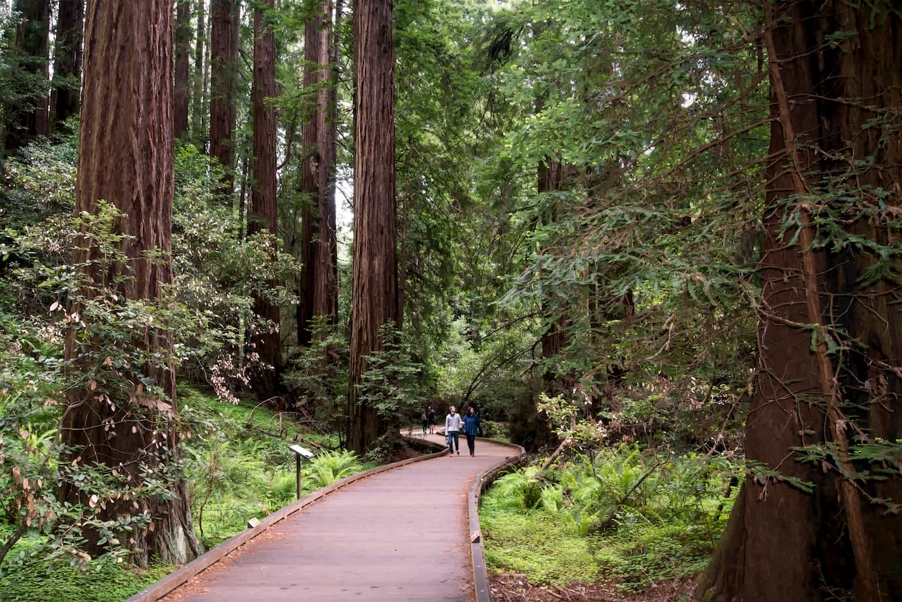
Mill Valley is located in Marin County, just north of the Golden Gate Bridge at the base of Mount Tamalpais. The city is home to around 14,000 residents and is a popular tourist destination particularly among people looking to visit Stinson Beach and Muir Woods National Monument. It is a short 15-minute drive from Mill Valley to Tiburon where you can take a ferry to Angel Island.
San Francisco is the fourth largest city in California with over 800,000 residents. It is located to the south of Angel Island and is considered a cultural center of northern California. There is limited ferry service available from San Francisco to Angel Island, however, it is also easy to access the Angel Island Ferry by driving from San Francisco to Tiburon.