
Scan the QR code and open PeakVisor on your phone
Whatcom County is home to 223 named mountains. The highest is Mount Baker at 3,287 m.
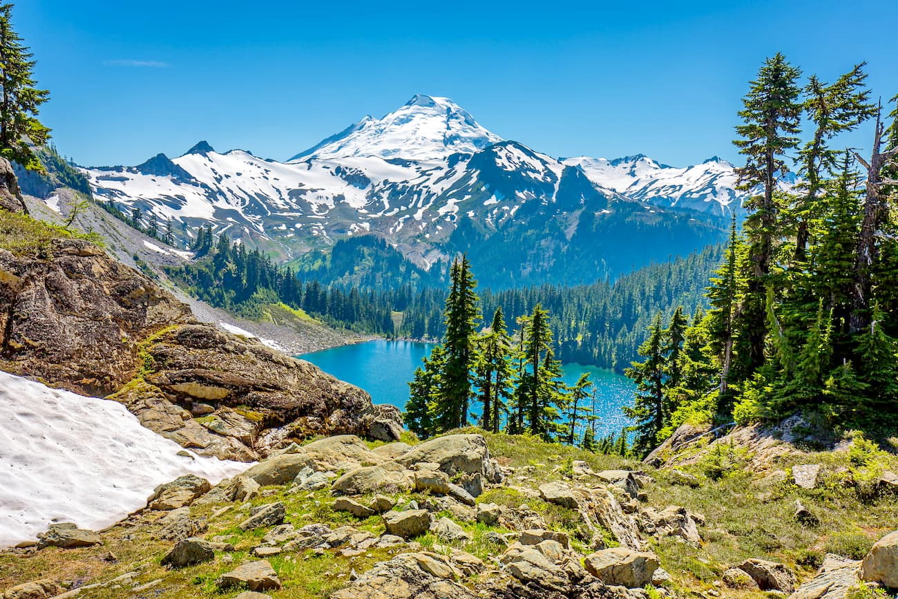
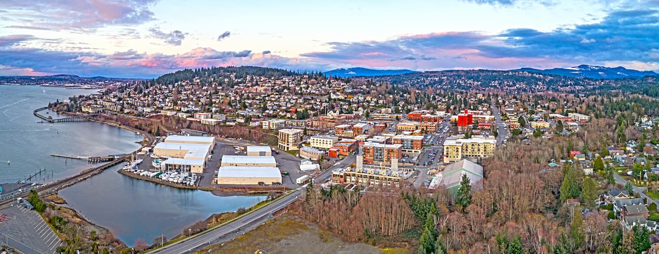
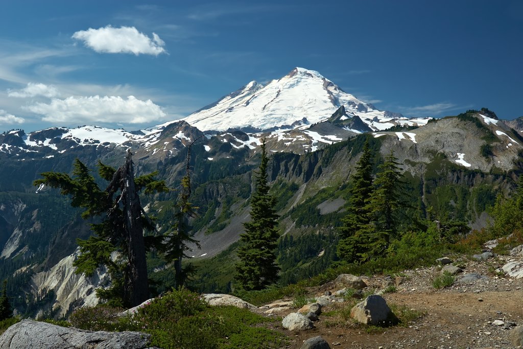
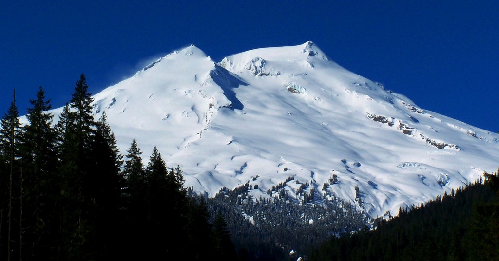
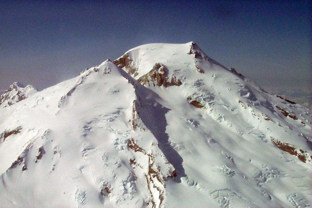
Whatcom County is located in the northwestern region of the state of Washington, making it the most northwestern area of the lower 48 states. The county borders Canada to the north, Salish Sea to the west, and the Cascade Mountain Range to the east. There are 181 named mountains in Whatcom County. The highest and the most prominent mountain is Mount Baker. At 10,781 feet Mount Baker is the third tallest peak within Washington and it is one of the state’s five volcanoes. The mountain is also known as Koma Kulshan or simply Kulshan. The entire county has a population of around 210,000 with the largest city being Bellingham.
The county stretches 2,503 square miles across land and sea. Within the county sits Whatcom Lake, a large body of water that empties into Bellingham Bay and is the city’s water supply. The county stretches from the sea up into the mountains making it an outdoor paradise. From kayaking in the sea to skiing or trekking up Mount Baker, Whatcom County is a beautiful and diverse landscape.
As one of the tallest peaks in the state, climbing Mount Baker is no small endeavor. The standard summer route totals 11.8 miles with 7,260 feet to total elevation gain. The peak is one of the most beautiful in the lower 48 and worth the trek to the top. The trail takes you through fields of wildflowers before reaching high camp at Coleman Glacier. From there it is a glacier route to the summit, be sure to watch for crevasses. Note that this hike requires proper knowledge and gear for mountaineering.
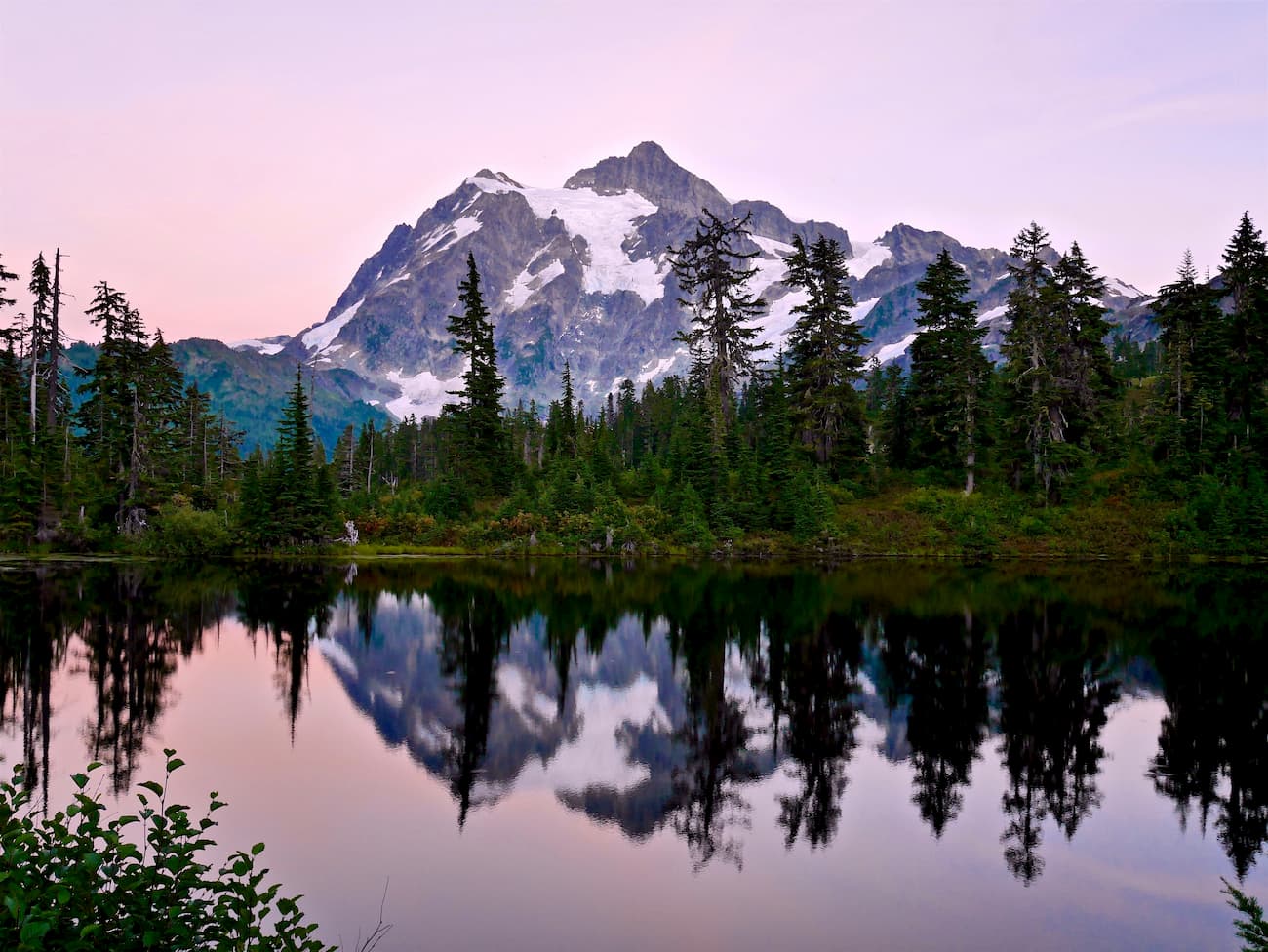
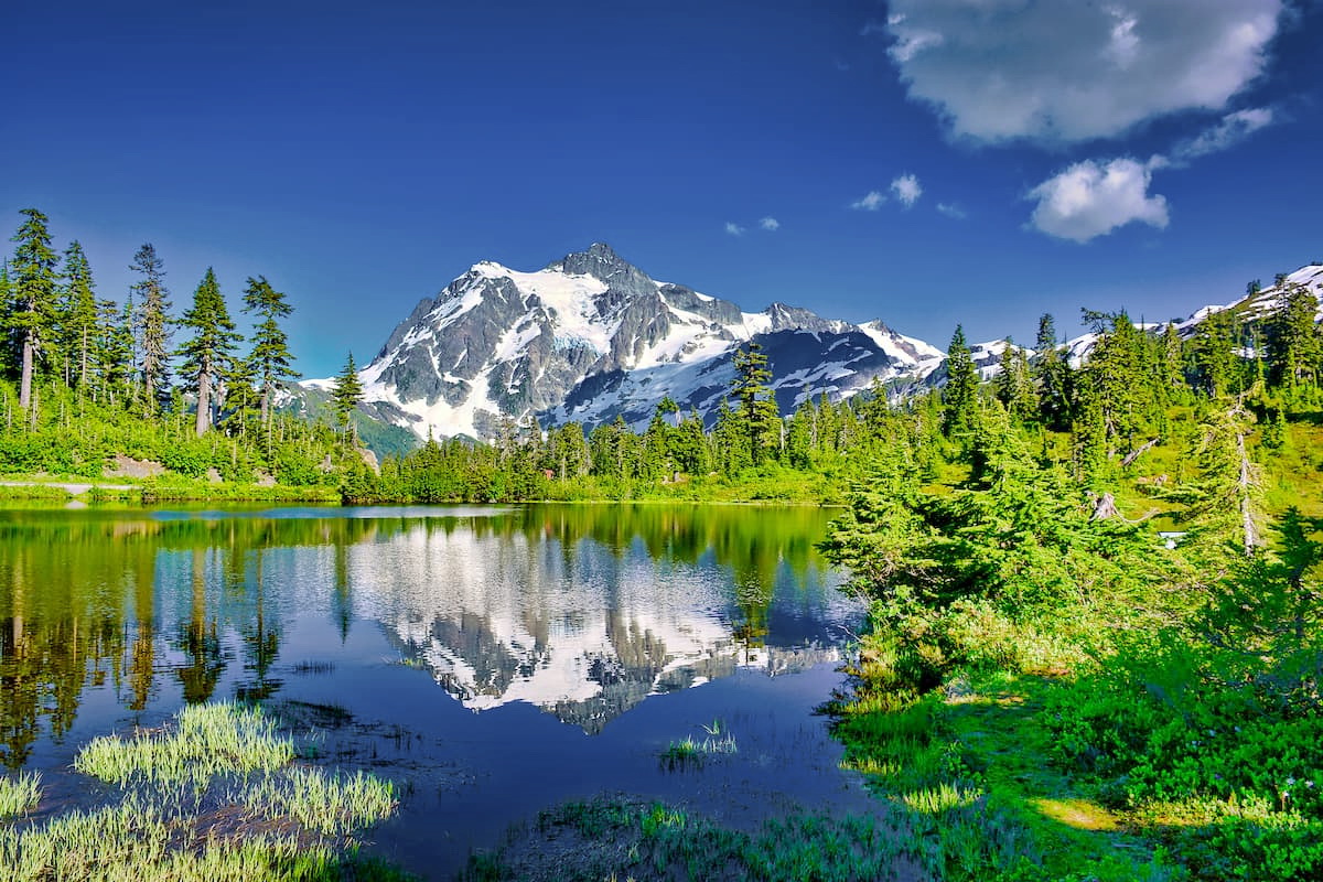
Artist’s Point is one of the most beautiful hikes within the entire county. This 3-mile out and back hike has 853 feet of elevation gain. The hike offers 360-degree views of the surrounding mountains, Mount Baker, and Mount Shuksan. From the Artist Point parking lot hikers have the option to take in the views or extend their hike to one of the many surrounding trails. The hike/viewpoint sis at the very end of Mount Baker Highway, State Route 542. The road typically is open from July to October.
The Chuckanut Mountains are located on the west coast of Whatcom County, just south of Bellingham. These mountains are part of the Cascade Mountain Range and are the only section where the mountain range comes down to meet the ocean. There are multiple mountains within the range for hiking, trail running, and mountain biking. Chuckanut Mountain, Sehome Hill, and Galbraith Mountain, are the most popular hiking areas within the range and closely located to the city of Bellingham.
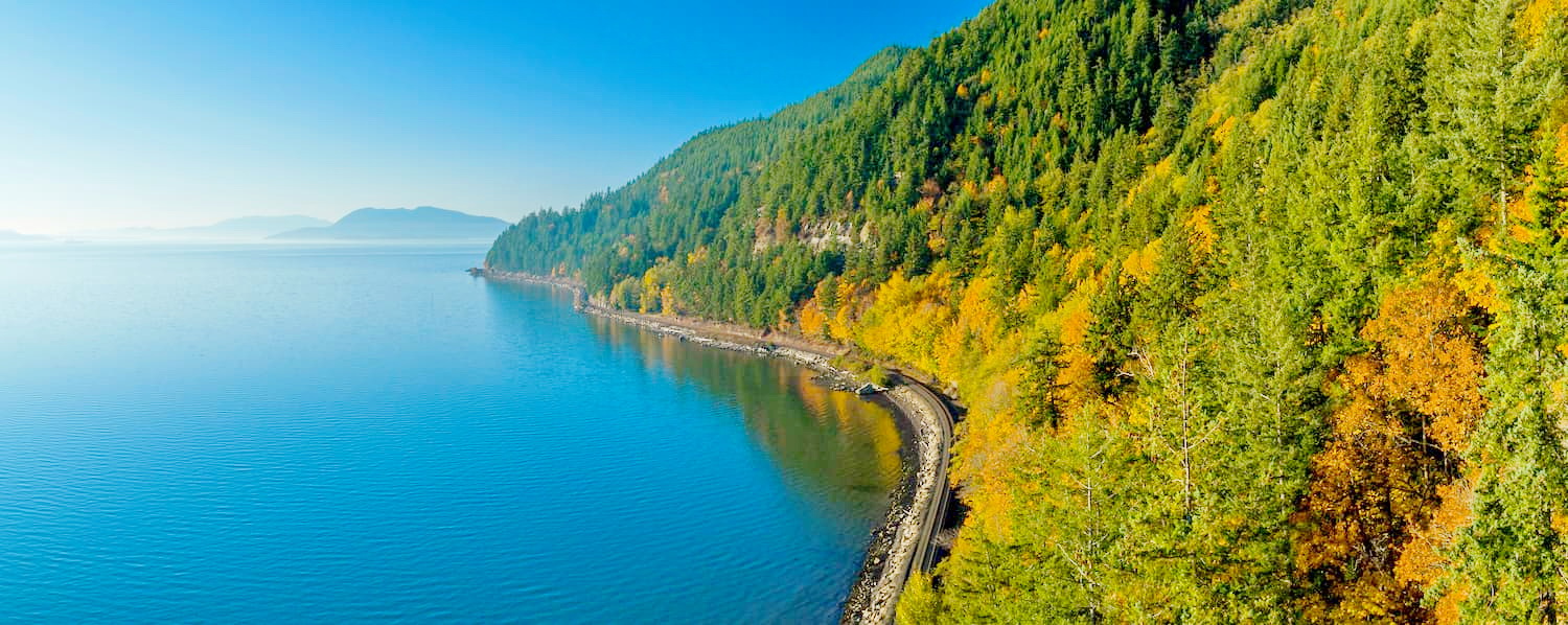
Located in the northwestern part of Washington, Bellingham is a paradise when it comes from outdoor adventure. The city is known as being a mecca for trail running, hiking, and mountain biking with a population of 80,000. The city sits on the water of Bellingham Bay and is two hours west of the North Cascades. The outdoor town is about an hour south of Vancouver B.C. and 80 minutes north of Seattle. Bellingham is the largest city within Whatcom County.


ultra
glacier
volcano
cascade-range-9000ers
washington-bulger
smoots-100
chemeketan-18-nw
mountaineers-6-peak-pin
mountaineers-5-peak-pin
mountaineers-bakers-dozen
cascade-volcanoes-pin
mazamas-16-nw-award
washington-ultras
glacier
cascade-range-9000ers
washington-bulger
smoots-100
chemeketan-18-nw
mountaineers-cascade-classic
mountaineers-bakers-dozen
mazamas-16-nw-award
fred-beckey-great-peaks
glacier
cascade-range-9000ers
washington-bulger
smoots-100
mountaineers-cascade-classic
glacier
washington-bulger
mountaineers-cascade-classic
mountaineers-everett-classic-8
ultra
glacier
volcano
cascade-range-9000ers
washington-bulger
smoots-100
chemeketan-18-nw
mountaineers-6-peak-pin
mountaineers-5-peak-pin
mountaineers-bakers-dozen
cascade-volcanoes-pin
mazamas-16-nw-award
washington-ultras
glacier
cascade-range-9000ers
washington-bulger
smoots-100
chemeketan-18-nw
mountaineers-cascade-classic
mountaineers-bakers-dozen
mazamas-16-nw-award
fred-beckey-great-peaks
glacier
cascade-range-9000ers
washington-bulger
smoots-100
mountaineers-cascade-classic
Yes. Whatcom County has 223 named mountains. The highest is Mount Baker at 3,287 m.
The highest mountain in Whatcom County is Mount Baker, at 3,287 m.
Whatcom County has 223 named mountains.


