Get PeakVisor App
Sign In
Search by GPS coordinates
- Latitude
- ° ' ''
- Longitude
- ° ' ''
- Units of Length

Yes
Cancel
❤ Wishlist ×
Choose
Delete
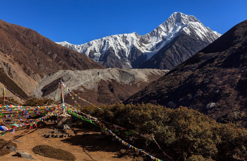
Sichuan (四川) is a province in southwestern China blessed with stunning natural landscapes and rich cultural heritage. There are 622 named mountains in the province; Mount Gongga (贡嘎山 7,556 m/ 24,790 ft), also known as Minya Konka, is the highest and most prominent peak.
With a land area of 486,000 square kilometers (187,646 square miles), Sichuan is the fifth largest province in China. It is landlocked among the provinces of Qinghai (青海), Gansu (甘肃), and Shaanxi (陕西) to the north, Guizhou (贵州) and Yunnan (云南) to the south, and Chongqing Municipality (重庆市) to the east. Sichuan shares its western border with the Tibet Autonomous Region.
The Sichuan’s terrain is complex and varied; this difference is especially pronounced between the east and west, where the landscape transitions from the highest to the middle step in China's three-step topography.
Plateaus and mountains dominate western Sichuan. The northwestern plateaus and the southwestern mountains further divide these highlands. The former is an extension of the Qinghai-Tibetan Plateau with an average altitude of 4,000-4,500 m (13,123-14,764 ft). In comparison, the latter is part of the Hengduan Mountains (横断山), which average about 3,000 m (9,843 ft) in altitude.

Eastern Sichuan contains the Sichuan Basin, which makes up a third of the province’s land area. The basin's rim consists of mountains of about 1,500-3,000 m (4,921-9,843 ft), while the bottom of the basin houses the vast Chengdu Plain, featuring the provincial capital, Chengdu (成都).
With over a thousand rivers and numerous lakes, glaciers, and wetlands, Sichuan boasts an abundance of water resources. Moreover, the upstream section of the Three Gorges of the Yangtze River (長江三峽) flows across the eastern rim of the Sichuan Basin.
Lying between the latitudes of 26' 03" N and 34' 20" N, Sichuan is within the subtropical region, though considerable differences in elevation result in many vertical climate zones ranging from subtropical forest to glaciated tundra, ice sheet, and permafrost.
The Sichuan Basin has four distinct seasons, with annual average temperatures of 14°C-19°C, slightly higher than other places on the same latitude. However, it receives the least sunshine in the country at only 900-1600 hours annually.
The northwestern plateaus have an annual average temperature of under 12°C and do not have a genuine summer, but lead in solar energy resources. The southwestern mountains have highly variable average yearly temperatures, ranging from 8°C to 22°C.
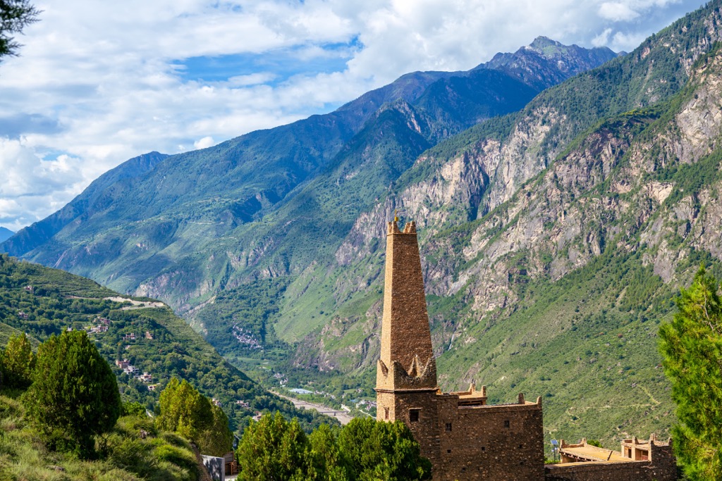
Sichuan sits on the Yangtze Plate (also called the South China Block), now part of the Eurasian Plate. The Yangtze Plate came about when a supercontinent called Rodinia broke up about 750 million years ago during the Neoproterozoic, resulting in the separation of South China.
When a later supercontinent, Pangaea, formed about 300 million years ago, South China was a small isolated continent. During the Triassic, the Yangtze Plate collided with the North China Plate. The plates joined with Pangea, giving rise to the Sichuan Basin.
The Sichuan Basin consists of mostly purple soil, a product of erosion from easily weathered purple sandstone and shale. It contains large amounts of calcium, phosphorus, and potassium, making it the most fertile soil in the country.
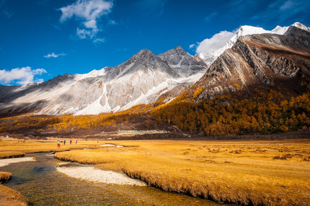
The high-altitude terrain in western Sichuan developed with the Qinghai-Tibetan Plateau and the Himalayas. The plateau was once an ancient ocean called the Tethys Sea, separating India from Asia. Aquatic life thrived, building enormous amounts of sediment.
About 55 million years ago, when the Indian Plate moved northward and subducted under the Eurasian Plate, the Tethys Sea was thrust upward to build the Himalayas and lift the Qinghai-Tibetan Plateau. At the same time, the north-south collision produced tremendous pressure that overflowed eastward and westward.
As the overflow met strong resistance on the eastern side from the Yangtze Plate, violent distortions created the wavy creases that became the Hengduan Mountains in western Sichuan and western Yunnan.
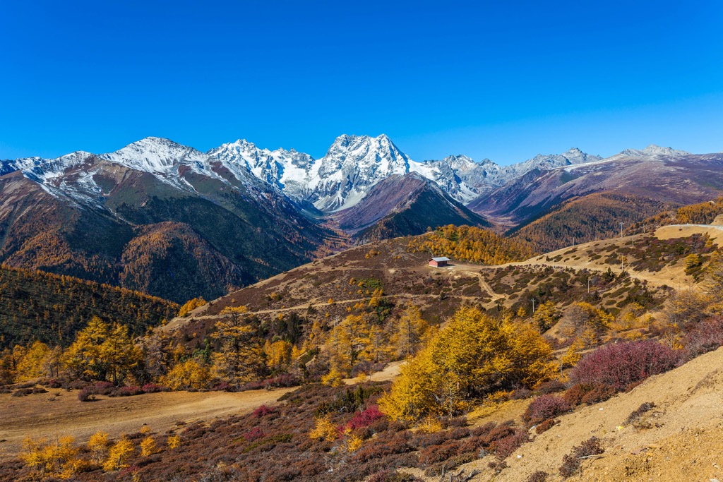
Significant mountain ranges within Sichuan include the Min Mountains (岷山), Qionglai Mountains (邛崃山), Daxue Mountains (大雪山), and Shaluli Mountains (沙鲁里山).
The gorges between the ranges serve as an outlet for the Qinghai-Tibetan Plateau's water systems, providing a corridor for monsoons from the Pacific Ocean and the Indian Ocean to reach the plateau.
Glaciers form between 4,600 m and 5,600 m (15,100 ft and 18,400 ft). These are monsoonal temperate glaciers; they exist largely due to the monsoons that bring abundant precipitation to the area.
With the Indian Plate moving northward at about 5 cm (2 inches) per year, the Qinghai-Tibetan Plateau is forced to expand eastward to Sichuan, leading to complex fault systems and frequent seismic activities.
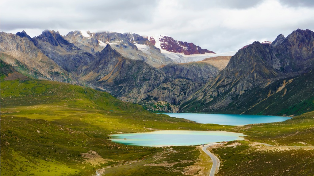
The most notorious of the Sichuan faults is Longmenshan Fault (龙门山断层) between the plateau and the Sichuan Basin. The 2008 Wenchuan Earthquake that rocked central Sichuan measured 8.0 in magnitude, killed 87,000 people, and injured 374,000. The fault ruptured across 240 km (150 mi), and surface displacements measured several meters. In fact, due to population density and seismic activity, China has experienced several earthquakes that have killed hundreds of thousands of people over the last millennia.
A predominantly subtropical monsoon climate with ample water resources has forged incredible biodiversity, including many rare and ancient species of plants and animals. Sichuan is one of the country's most critical biological gene pools.
The province has almost 10,000 plant species, accounting for about a third of all species in the nation, second only to Yunnan. Among them are more than 500 species of bryophytes, 230 families and 1,620 genera of vascular plants, and over 700 species of ferns.
Sichuan’s forest cover is about 30%. It boasts 87 species of pine, fir, and cypress trees. It also has a whopping 1,291 species of wild fungi.
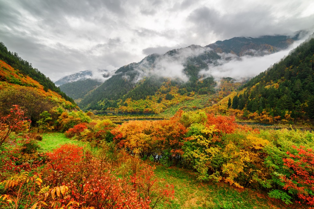
Moreover, 5,500 species of wild economic plants, including over 4,600 medicinal plants, make up a third of the country's total output of Chinese medicinal ingredients. The province is also the largest producing area of aromatic oils in China.
The largest bamboo forest in the world is in the city of Yibin (宜宾) in southern Sichuan. Sprawling over 120 square kilometers (46 square miles), this “sea of bamboo” harbors over 400 bamboo species, though tortoiseshell bamboo (Phyllostachys heterocycla) is dominant.
The fauna in Sichuan is no less impressive, featuring more than 1,200 vertebrate species, or half of the nation’s total. The star species is the giant panda, about 80% of which live in Sichuan.
Although it is improbable to spot a giant panda in the wild, several captive breeding centers in Sichuan, including one in the provincial capital Chengdu, offer a chance to see this iconic animal up close.
Other highlights in the mammal line-up include the red panda, golden snub-nosed monkey, snow leopard, Pallas's cat, Chinese mountain cat, brown bear, white-lipped deer, and Himalayan marmot.

Furthermore, the province possesses an astounding array of birds. It is known for rare species of pheasants such as the Lady Amherst's pheasant, blood pheasant, Chinese monal, and Temminck's tragopan.
The best places for spotting wildlife include the Wolong National Nature Reserve, Jiuzhai Valley National Park, Tangjiahe National Nature Reserve (唐家河国家级自然保护区), Ruoergai Wetland National Nature Reserve (若尔盖湿地国家级自然保护区) and Balang Mountain Pass (巴郎山口).
Regarding prehistoric life, Sichuan is nicknamed the “cemetery of dinosaurs,” especially those from the Jurassic period (about 201 million to 145 million years ago). In addition to whole skeletons of almost every known dinosaur variety, fossils include plenty of complete skulls, which are rare due to their fragility.
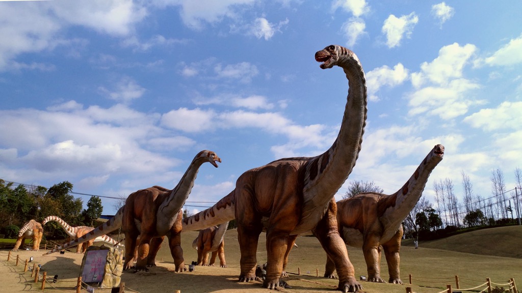
The Zigong Dinosaur Museum (自贡恐龙博物馆) in southern Sichuan is likely one of the top three dinosaur site museums in the world. However, fossils are all around; in 2022, sauropod footprints left 100 million years ago were found in a restaurant in the city of Leshan (乐山).
One of the most significant discoveries in Chinese archaeology is the ruins of Sanxingdui (三星堆), a lost Bronze Age civilization that thrived in the 12th and 11th centuries BC. The ruins reside in present-day Guanghan (广汉), 23 km (14 mi) northeast of Chengdu.
Ancient Sanxingdui culture remains a mystery since no written record has been found despite the staggering trove of treasures unearthed. Even more puzzling is the fact that many artifacts are quite different from those found elsewhere in China.

It is probable that this culture developed separately from other cultures in the Yellow River Valley in northern China, regarded as the birthplace of Chinese civilization. However, objects found in Sanxingdui, such as gold masks and a golden staff, have led some to believe the culture had links to the Fertile Crescent or ancient Egypt.
Better recorded history in present-day Sichuan begins with the ancient states of Ba (巴) and Shu (蜀), which flourished in the Eastern Zhou dynasty (东周 770–256 BC). Although the Qin Dynasty (秦 221-207 BC) conquered both regimes, the term “Ba-Shu” (巴蜀) is still synonymous with Sichuan to this day.
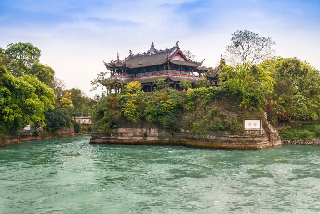
In the 3rd century BC, the construction of an irrigation system at Dujiangyan (都江堰) transformed the flood-prone Chengdu Plain into a land of abundance. The system uses the natural topography and ingeniously diverts water through a network of weirs, small barriers built across the width of a river to alter the water level or height.
Over its two millennia, the system’s irrigated area has increased to over half a million hectares in modern times. Its long-lasting impact makes it one of history's most remarkable engineering feats. It is the world’s oldest no-dam irrigation system and the only one surviving.
During the Three Kingdoms period (三国 220-280), the region was one of the three kingdoms, known as Shu-Han (蜀汉). Its chancellor, Zhuge Liang (诸葛亮), was one of the greatest military strategists in history. He and many of his contemporaries have been immortalized by one of the Four Great Classical Novels of China, Romance of the Three Kingdoms (三国演义).
The region was subsequently known by different names until the early Song dynasty (宋 960-1279) when “Sichuan” came about; the origin of Sichuan as a province can be traced back to the Yuan dynasty (元 1279-1368).
The Japanese invasion in 1937-1945 pushed Sichuan to the center of national politics. As city after city in coastal China fell to the Japanese, an influx of people and resources arrived in Sichuan. The city of Chongqing (重庆) in eastern Sichuan became the wartime capital of the Chinese Republic. However, it is no longer a part of the province after it became a direct-administered municipality in 1997.
Currently, Sichuan has over 83 million people. Apart from the predominant Han ethnic group, many ethnic minority groups call Sichuan home, the largest of which is the Yi (彝族). It also has the most significant Tibetan population outside the Tibet Autonomous Region.
With some of the country's most eminent nature reserves, Sichuan is a premier destination for hikers and outdoor lovers. Here is an overview of the must-see destinations.
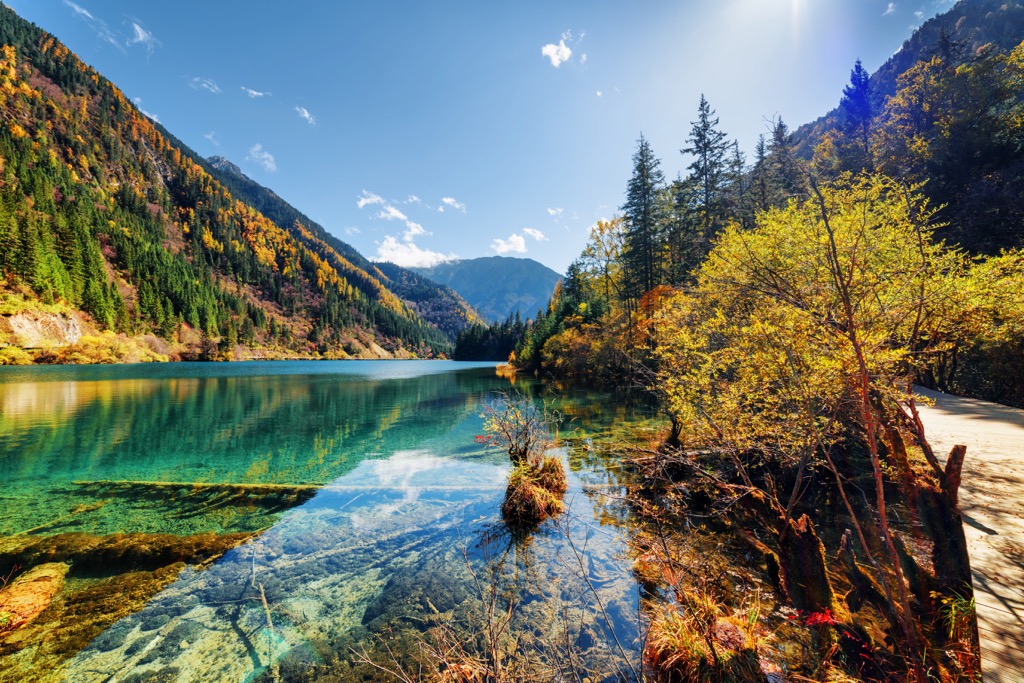
This park in northern Sichuan province is a wonderland comprising over a hundred multi-colored karst lakes and some of the world's most biologically diverse temperate forests.

The stunning colors of the water come from high concentrations of calcium carbonate. Some lakes are fed by spectacular waterfalls, including the widest in China.
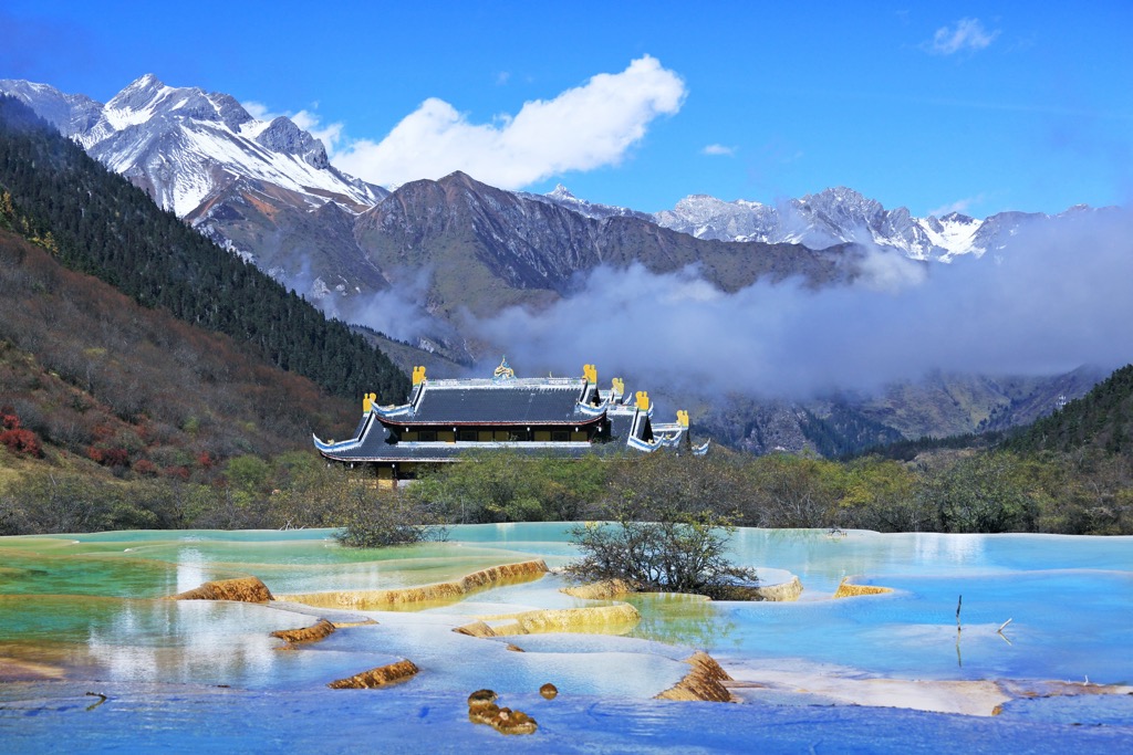
The park's core area contains three connecting valleys that form a Y shape. Many visitors make a side trip to the nearby Huanglong Scenic and Historic Interest Area (黄龙风景名胜区), featuring terraced travertine pools filled with aquamarine water.
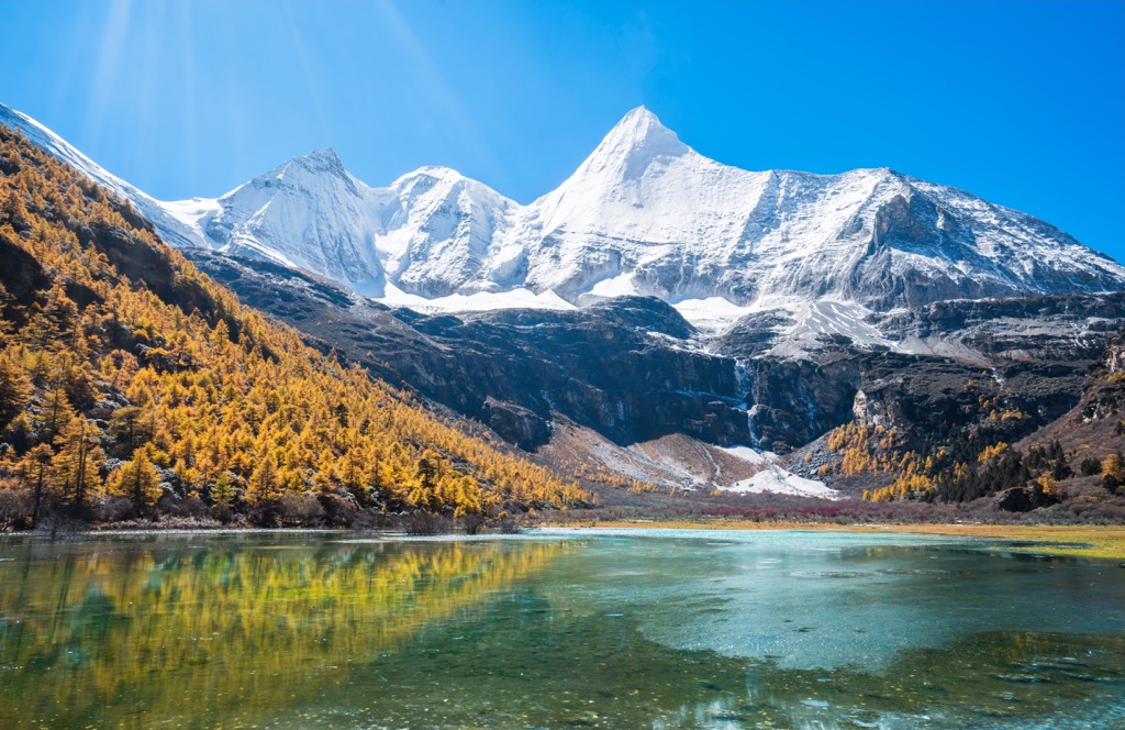
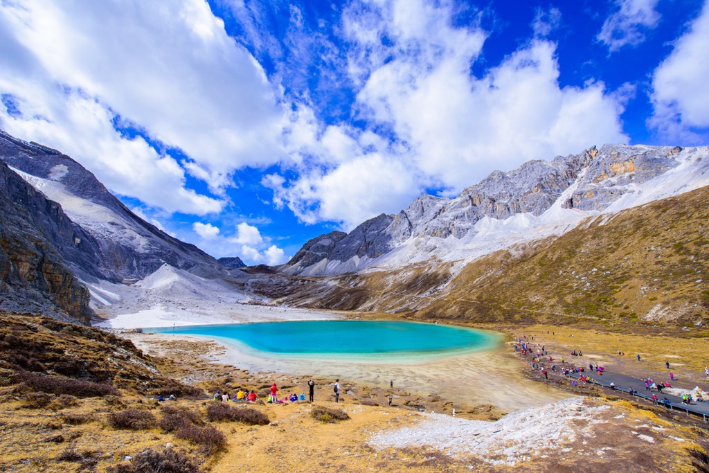
Yading Nature Reserve is in Daocheng County (稻城縣) in southwestern Sichuan. The park boasts pristine alpine meadows, stunning glacial lakes, and an imposing monastery below three sacred snow-capped peaks. The altitude ranges from under 3,000 m (9,840 ft) to over 6,000 m (19,680 ft).
Hidden deep within the Hengduan region, Yading was once the best-kept secret of outdoor enthusiasts until the development of the world’s highest civilian airport at 4,411 m (14,470 ft) in 2013.
Nicknamed the Alps of the East, the Siguniang Mountains have 52 peaks above 5,000 m (16,404 ft) in altitude. The highest of them, Yaomei Feng (6,250 m/ 20,505 ft), is considered “the Queen of Sichuan Mountains.”
The reserve has a well-developed hiking and mountaineering scene and is a hub for outdoor sports like cross-country running, ice climbing, rock climbing, mountain biking, and rafting. It is 160 km (99.4 mi) by road from Chengdu.

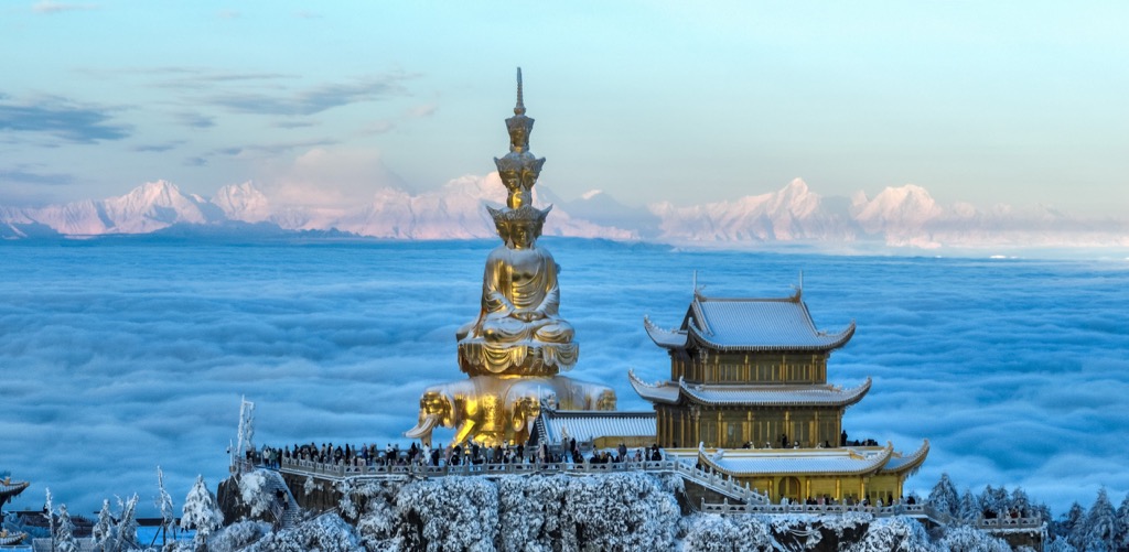
The southwest of the Sichuan Basin features one of China's Four Sacred Buddhist Mountains, Mount Emei or Emeishan (峨眉山3,099 m/ 10,167 ft). Buddhists and tourists alike celebrate the peak for its dozens of Buddhist temples and its iconic golden statue of Samantabhadra (or bodhisattva of universal virtue) at the top.
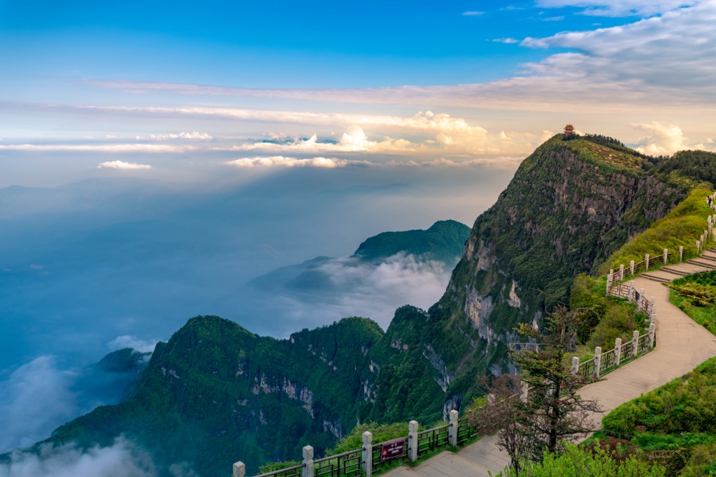
One of the highlights of Mount Emei is the “sea of clouds” at the misty summit. Getting to the top is a long, steep, and arduous climb through lush vegetation and refreshing waterfalls with about 60,000 steps, starting from 500 m (1,640 ft) above sea level. The elevation gain is nearly 2600 meters (9000 ft), making this a challenging hike. For those with less than an Olympic level of fitness, a combination of bus and cable car will take you right to the top.
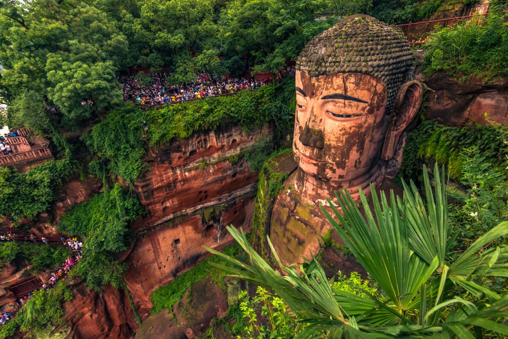
The scenic area also includes the Leshan Giant Buddha (乐山大佛), located about 45 km (28 mi) from Mount Emei. The statue was carved out of a cliff face in the 8th century and overlooks the confluence of three rivers. At 71 m (233 ft) in height, it is the largest stone Buddha in the world.
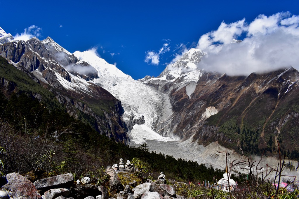
The scenic area lies in western Sichuan on the eastern slopes of Mount Gongga/ Minya Konka (贡嘎山 7,556 m/ 24,790 ft), also dubbed “the King of Sichuan Mountains.” Its biggest draw card is its spectacular glaciers, such as the “Grand Ice Fall,” which has a vertical drop of 1,000 m (3,280 ft).
Mount Gongga, despite its relatively low elevation compared to the world’s highest peaks, is the world’s most challenging mountain to climb based on death rate alone. As of 2017, 32 climbers had successfully submitted, while 21 had died in the attempt. The crux is the 60 - 70° cliffs surrounding the main summit cone, necessitating technical climbing techniques at extremely high altitudes.
The park also offers impressive views of Mount Gongga, hot springs, primitive forests, red rock shoals, and magnificent sunrise.
The reserve was established 130 km (80 mi) from Chengdu in 1963 to protect the giant panda. It is the hometown of wild pandas and runs the world’s most extensive captive breeding and wild training program.
Apart from the giant panda, the reserve provides undisturbed habitat to thousands of species. It has China’s highest density of the rare and elusive snow leopard, with at least 26 individuals.
In 2021, the reserve became part of the brand-new Giant Panda National Park that spans three provinces with an area three times the size of Yellowstone National Park. It links up 67 existing protected areas to reverse habitat loss and fragmentation.

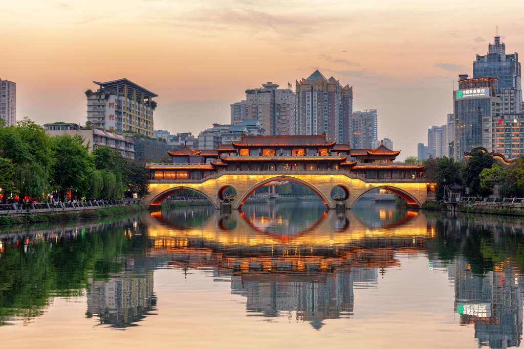
Chengdu (成都), the provincial capital of Sichuan, is the most developed and international city in western China. This megacity of 20 million people is an important transport hub with excellent connections to many nature reserves.
Chengdu is reportedly the happiest city in China, in no small part due to the work-life balance and connection to nature that other urban areas in China lack.

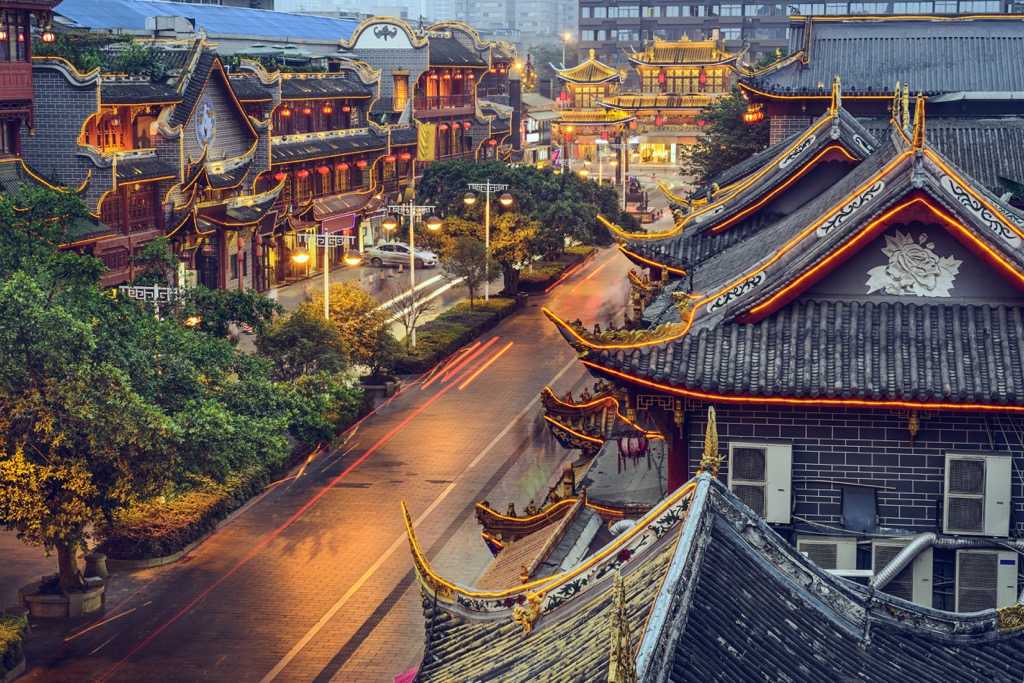
For over a thousand years, Chengdu has been a cultural, commercial, and political center. It offers world-class attractions such as the Chengdu Research Base of Giant Panda Breeding, as well as the historic Kuan Zhai Alley (宽窄巷子) and Jinli Pedestrian Street (锦里步行街).
For a local experience, don’t miss the bold and spicy Sichuanese cuisine. Additionally, be sure to check out the Sichuanese opera, which features the stunt-like art of face-changing (变脸).

Explore Sichuan with the PeakVisor 3D Map and identify its summits.
