Get PeakVisor App
Sign In
Search by GPS coordinates
- Latitude
- ° ' ''
- Longitude
- ° ' ''
- Units of Length

Yes
Cancel
❤ Wishlist ×
Choose
Delete
Among the peninsulas and archipelagos of southeast Asia is Malaysia, a global hotspot of ecological diversity with thick forests, gorgeous coasts, and around 5268 named peaks. The highest and most prominent peak in Malaysia is Gunung Kinabalu, which stands at 4,095 m (13,435 ft) in elevation.
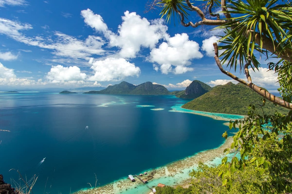
The bulk of Malaysia spans two separate land masses in southeast Asia, with the South China Sea splitting the country into Peninsular Malaysia, in the west, and East Malaysia.
Administratively, Malaysia has thirteen states, each of which is divided into administrative districts, and three Federal Territories. These Federal Territories include the political centers of Kuala Lumpur and Putrajaya and the financial center of Labuan, which occupies its own island off Sabah’s coast.
Both Kuala Lumpur and Putrajaya can be considered capitals of the country. As a general rule, Kuala Lumpur deals with executive and legislative matters and Putrajaya handles administrative functions.
The country’s closeness to the equator has given it a tropical rainforest climate, which is hot and humid year-round. The average daily temperature in the country, which varies between the two main regions and depends on both a location's elevation and its proximity to the coast, is between 21ºC and 32ºC (69.8ºF and 89.6ºF).
The coasts of Malaysia are generally warm and sunny. Meanwhile, the lowlands are similarly warm, but more wet, and the highlands tend to be cooler, wetter, and more varied in temperature with more frequent cloud cover. Annual rainfall in the country tends to be between 2,000 and 2,500 mm (78.7 to 98.4 in).
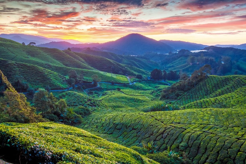
Seasonal differences in temperature and precipitation in Malaysia are mainly a result of El Niño and the monsoons. The Southwest Monsoon occurs from late May to September, which, while certainly rainy in and of itself, is generally less so than the Northeast Monsoon that comes in from October to March. During strong El Niño years, the country also tends to see a substantial decrease in rainfall.
Peninsular Malaysia rests on the southern half of the Malay Peninsula and includes some of the small islands that surround it. It encompasses an area of around 132,265 sq. km (51,068 sq. mi), which means that it contains about 40 percent of Malaysia’s land area of 330,803 sq. km (127,724 sq mi). East Malaysia contains the other 60 percent of the country.
Peninsular Malaysia shares a land border with Thailand in the north, specifically the provinces of Narathiwat, Yala, Songkhla, and Satun. To the south is the island country of Singapore, which is separated from Peninsular Malaysia by the Johor Strait.
Directly to the west, over the Malacca Strait, is the Indonesian island of Sumatra and to the east are Indonesia’s Riau Islands, which are located in the South China Sea. Located to the northwest of the country is the Andaman Sea, and to the northeast, on the other side of Thailand, is the Gulf of Thailand.
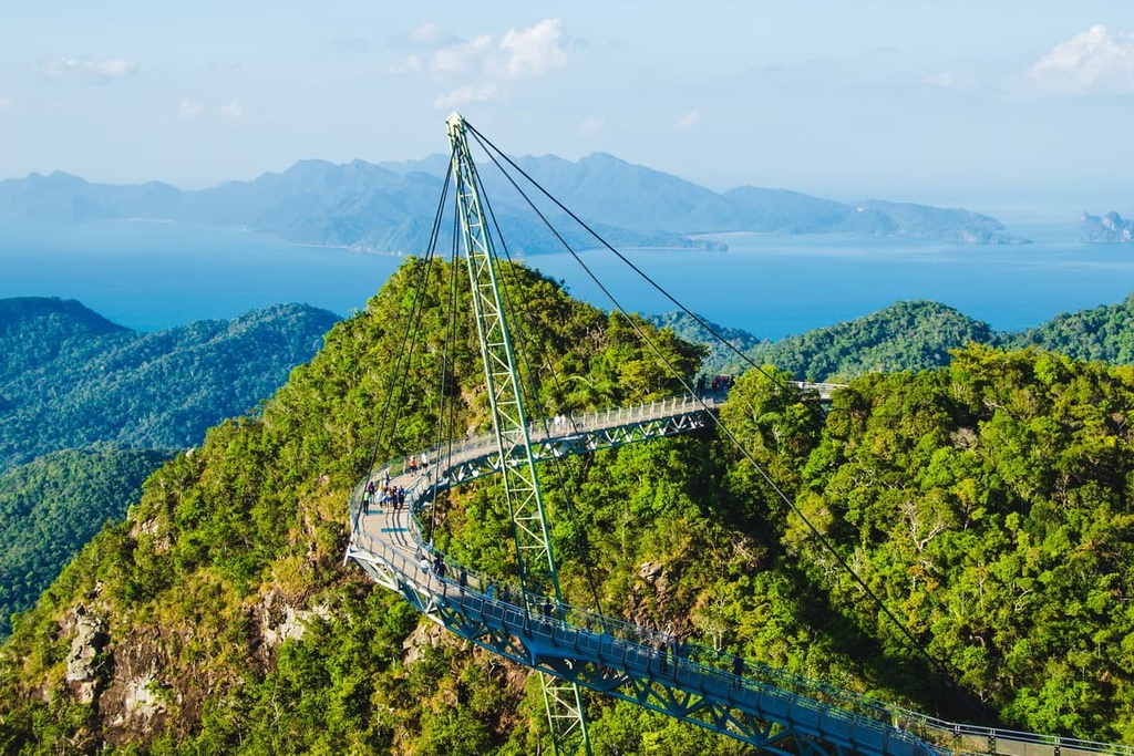
Though Peninsular Malaysia is smaller in physical size than East Malaysia, it contains around 80% of the country’s population of nearly 33 million people as it is home to about 26 million residents. Peninsular Malaysia also contains 11 of Malaysia’s 13 states. Malaysia’s largest cities, like capital Kuala Lumpur, Johor Bahru, and Georgetown are all located on the Peninsula, making it a generally more urbanized and dense region.
The tallest point on Peninsular Malaysia is the 2,187 m (7,175 ft) Gunung Tahan, which is part of the Tahan Range that runs through the states of Pahang and Kelantan.
The other mountain ranges on Peninsular Malaysia include the Bintang Mountains, which stretch from southern Thailand to the state of Perak, and the Titiwangsa Range, a 480 km (298 mi) chain that spans the Malay Peninsula and is part of the Southeast Asia Mountains.
These mountains are further categorized into the Tenasserim Hills, a 1,700 km (1,056 mi) long mountain chain that runs up from the peninsula into southern Myanmar and the more northern depths of Thailand.
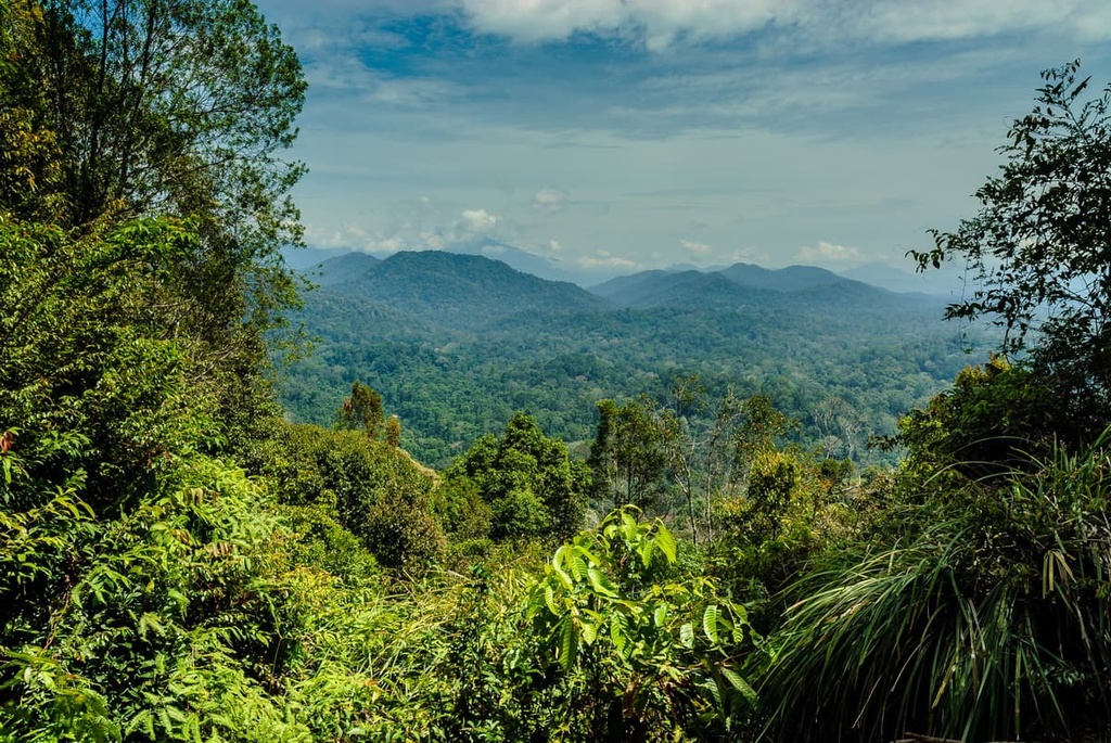
East Malaysia is larger than Peninsular Malaysia but far less densely populated. Its two states, Sabah and Sarawak, share the island of Borneo with Indonesia and Brunei.
In fact, East Malaysia spans the north and northeastern parts of the island, with the exception of the small part of the northern coast of Borneo that is part of Brunei. Off the coast of the northeastern part of the state of Sabah is the Sulu Sea, which separates the island from the Philippines.
There are some prominent cities in East Malaysia, like Kuching and Kota, though none with quite the same level of size and density as those on the peninsula.
Much of East Malaysia is made up of lowland and mountain forests, with the mountains—where Malaysia’s five highest peaks can be found—mostly concentrated around the northeast and along the border with Indonesia. Gunung Kinabalu is part of the Crocker Range of mountains in Sabah that splits it between the west and east coast, as is Mount Tambuyukon.
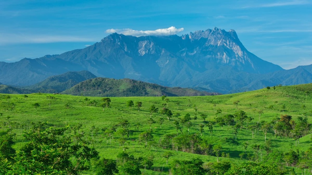
Other tall peaks in East Malaysia, like the 2,642 m (8,668 ft) Mount Trusmadi, are part of the Trusmadi Range, which is located fairly close to the Crocker Range.
In central Sarawak, near Malaysia’s border with Indonesia, are the Hose Mountains, with the Iran Mountains straddling the border between the two countries. Finally, in terms of major mountain ranges, there are the Kelabit Highlands in the northernmost portion of Sarawak, topped off by the 2,191 m (7,188 ft) Mount Murud.
In addition to these ranges, East Malaysia also contains the country’s two longest rivers, Rajang and Kinabatangan, as well as the two largest islands that belong entirely to Malaysia, Banggi and Bruit. Another notable aspect of the region is the Mulu Caves. The caves are home to the Sarawak Chamber, which is believed to be one of the largest known cave chambers in the world.
The longest river in Peninsular Malaysia is the Pahang River. However, the peninsula is home to both of Malaysia’s notable natural lakes, Bera and Chini.

The geology of Malaysia is varied and unique. Here’s a quick look at the geologic history of this incredible country.
Peninsular Malaysia is defined by the presence of the Tenasserim Hills, which run through it. The Tenasserim Hills further consist of the Titiwangsa Mountains and far-stretching foothills.
The Titiwangsa Range in Malaysia runs along the Bentong-Raub suture zone, with its western side and eastern side host to different continental terranes. These terranes collided during the Late Triassic with the closing of the Paleo-Tethys Ocean, and this collision created in the mountains of Titiwangsa.
The basement rocks of the peninsula are heavily intruded by granitic rocks, with granite and other igneous rocks forming around half of the peninsula. The rest of the region consists primarily of Mesozoic sedimentary and metamorphic rocks, particularly in the northwest, and large alluvial basements of sediments.
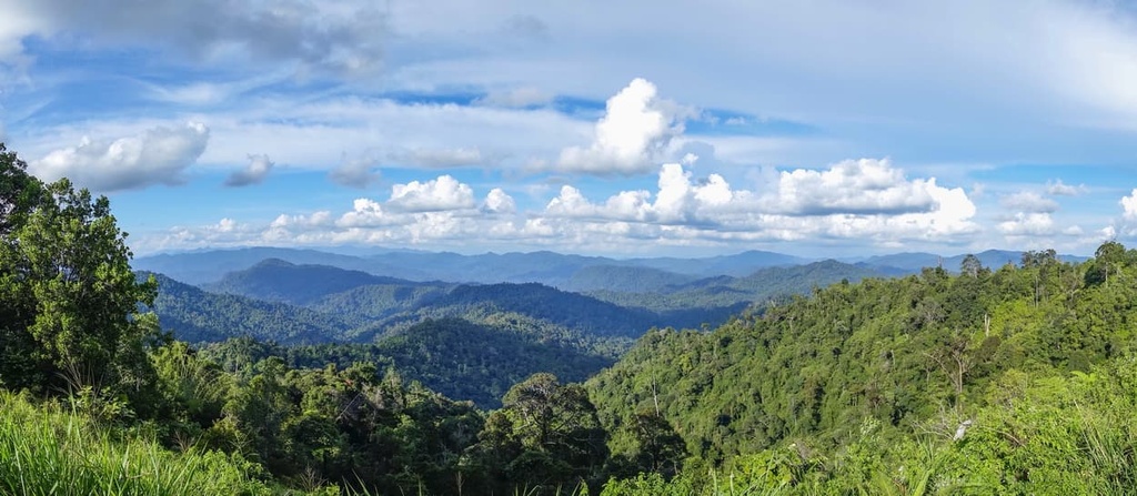
The formation of Borneo dates back to the Mesozoic. Borneo is the result of the accretion of crustal fragments, island arcs, and ophiolite over a continental core. By the Cenozoic, this had become a promontory of the landmass of Sundaland, which had once connected the island to Java, Sumatra, and the Malay Peninsula.
Borneo continued to be part of mainland Asia until the end of the last glacial maximum when rising sea levels resulted in the South China Sea and Gulf of Thailand submerged the former lowlands that had connected Borneo to the other landmasses.
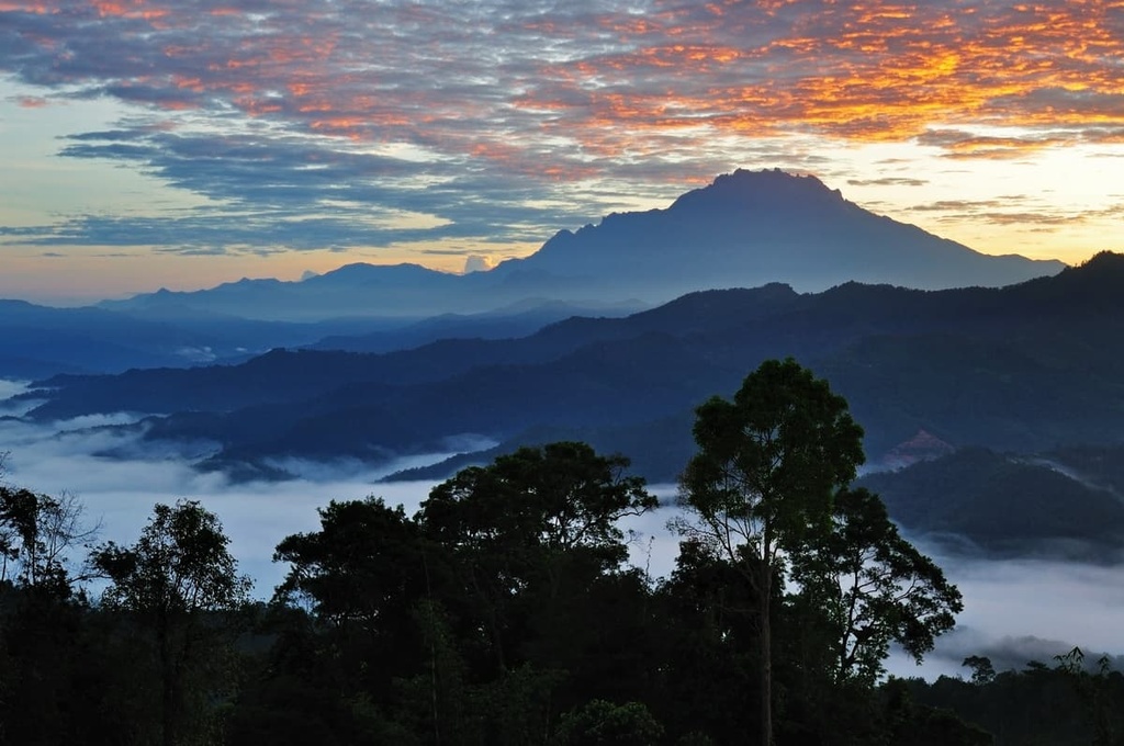
Much of the island is sedimentary in nature, which can be seen in the make-up of its many mountains and in its karstic landscapes, where water-eroded limestone has resulted in the island’s many caves. The Crocker Range consists of sedimentary rocks, mainly sandstones and shales, that have been uplifted and folded into mountains.
Kinabalu is a granite pluton that has intruded into sandstones, mudstones, metamorphic rocks, and ultrabasic rocks. Its craggy shape can be attributed to the Pleistocene, when the mountain was covered by ice and glaciers.
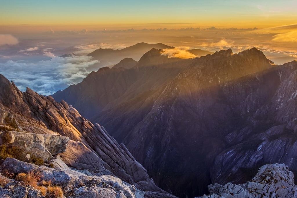
The Trusmadi Range consists primarily of shale, argillite, and mudstone on top of beds of sandstone, limestone breccias, quartzite, and siltstone. In the Kelabit Highlands, mountains like Mount Murud primarily consist of sandstone. Murud, in particular, formed in the Miocene Epoch. East Malaysia is also home to Malaysia’s only active volcano, the 545 m (1,788 ft) peak of Bombalai Hill.
The country’s warm and tropical nature, greatly varied elevations, and long coastlines have resulted in a rich and diverse medley of wildlife and ecosystems. In fact, Malaysia contains about a dozen different ecoregions between its two halves.
Malaysia is considered to be a megadiverse country, thanks to the extremely large amount of unique and endemic flora and fauna that call it home.
Here’s a quick overview of some of the ecoregions that can be found in Peninsular Malaysia.
Spanning most of Peninsular Malaysia are the Peninsular Malaysian rainforests, with their tall canopies that are usually between 24 to 36 m (78.8 to 118.1 ft) in height. However, some trees in these rainforests reach heights of up to 45 m (147.6 ft).
This canopy consists mostly of dipterocarps, tropical lowland rainforest trees, alongside torchwoods and evergreen Sapotaceae species. Under these thick canopies, there are a plethora of shade-tolerant plants, like those of the spurge, madder, custard apple, and laurel families.
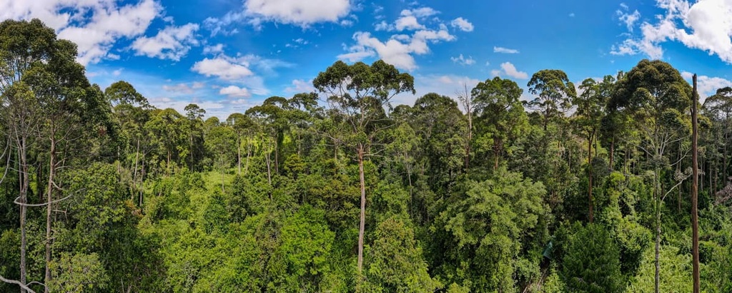
The tallest tree that one might see in the forest is the Koompassia excelsa, or tualang, which can range from 70 to 80 m (229.7 to 262.5 ft) in height. By the region’s rivers, one is more likely to see trees like the neram or the fig, with lots of orchids and ferns around them.
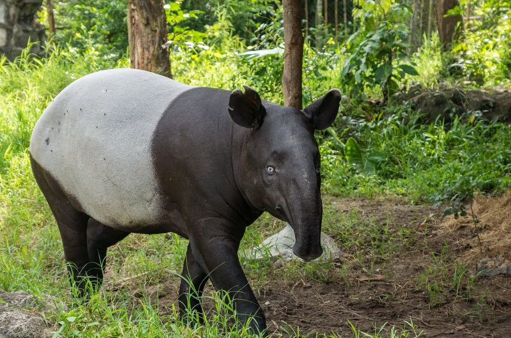
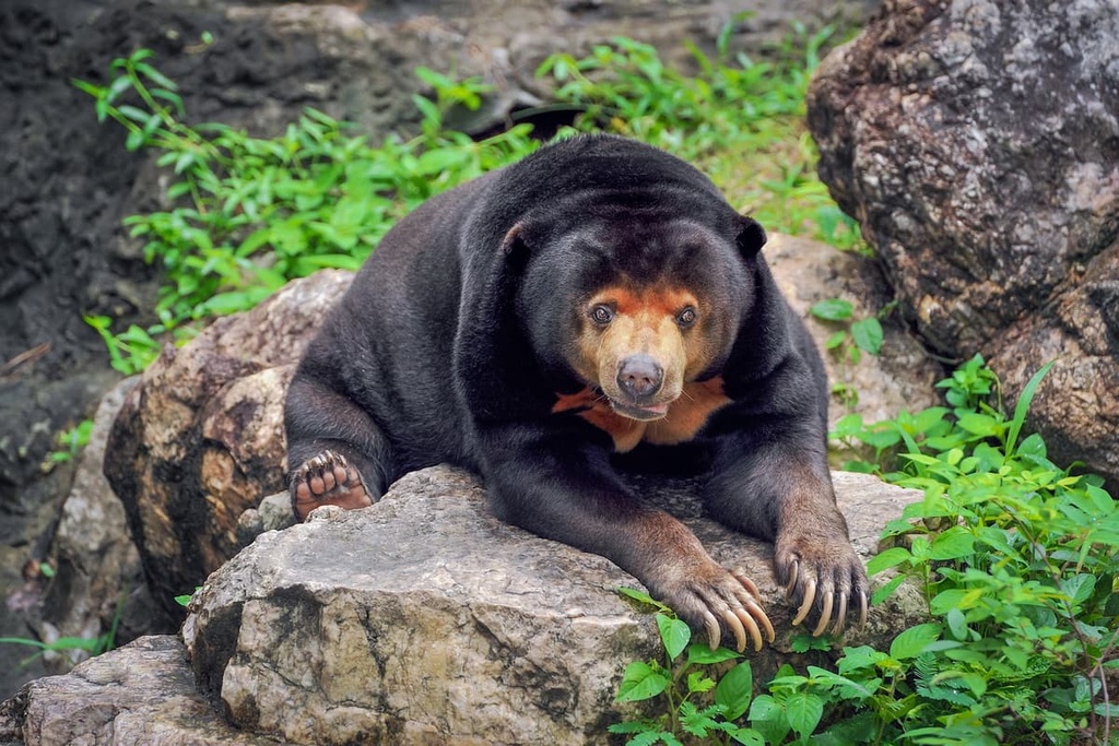
The Peninsular Malaysian rainforests contain nearly 200 different mammal species, a sign of how diverse the region is. However, many of these species face great risk from poaching and rapid habitat loss. Tigers, Malayan tapirs, Asian elephants, clouded leopards, sun bears, and gaurs are some of the many famous creatures to roam these forests.
Other mammals found in this ecoregion include marbled cats, Asian golden cats, banded pigs, otters, squirrels, sambar and barking deer, and various primates like the pig-tailed and long-tailed macaque, dusky leaf monkey, and banded langur.
The region is also known for its over 450 bird species, including the crested fireback, Malay peacock, and great argus pheasant, alongside hornbells, bulbuls, woodpeckers, broadbills, babblers, and broadbills.
As you move up in elevation from the standard tropical rainforests, you’ll find the Peninsular Malaysian Montana rainforests, which occur mostly in the central and northern parts of the Peninsula where the primary mountain ranges run through. Here, the height of the canopy generally decreases with elevation. It reaches a low of around 10 to 20 m (32.8 to 65.6 ft) from the heights of the lowland forests.
The dipterocarps of lower elevations vanish at around 1,000 to 1,200 m (3,280.8 to 3,937 ft) in elevation, and they are replaced primarily by oaks and chestnuts, as well as trees of the agathis, myrtle, and dacrydium families, among others. Higher up on the mountains are flora that are well suited to the harsher environment, like rhododendrons, ferns, lichens, mosses, and orchids.
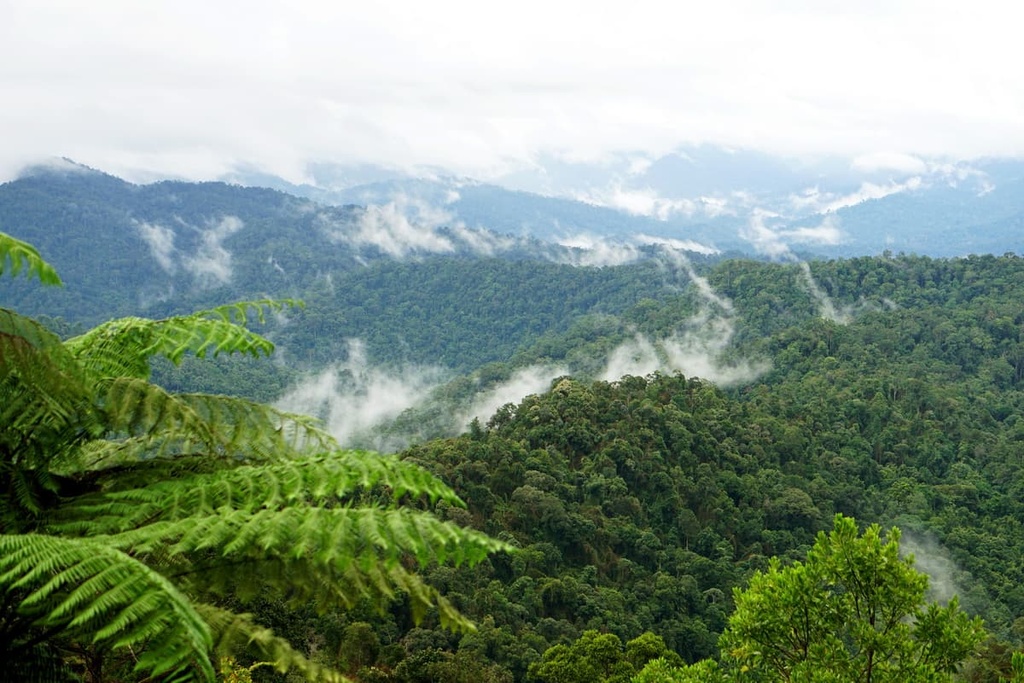
These montane forests have their own unique wildlife communities that include species such as the endemic Malayan mountain spiny rat. The gymnure, red-cheeked squirrel, siamang, and numerous other species of bat are some of the many interesting critters that live in these mountains. You can also find populations of tiger, gaur, clouded leopard, and sun bear in this ecoregion.
Mountain peacock-pheasants and crested arguses are two examples—out of the forests’ over 250 avifauna species—of birds that are either rare or endemic to these forests.
The relatively small Peninsular Malaysian peat swamp forest is found along the peninsula’s coast. This ecoregion consists of acidic peat swamps that formed behind the mangrove swamps and forests that ring the swamps’ edges. They are generally less biodiverse than the rainforests, but full of wonders nevertheless.
The forests generally consist of an abundance of strangler figs and different types of dipterocarps. They also feature an understory with a proliferation of pandan and sealingwax palms.
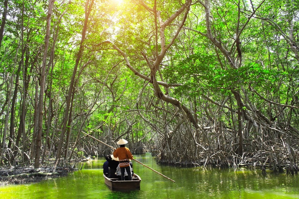
Outside the common and notable peninsular mammals already mentioned, these forests are particularly known for the presence of the gray-headed fish eagle and the brown fish owl. The wetlands are also very diverse in terms of freshwater species, especially small fish.
Occupying a small expanse in the very north of the country are the Tenasserim-South Thailand semi-evergreen rainforests.
These forests are characterized mainly by dipterocarps and both semi-evergreen and evergreen trees such as the tembusu, Ceylon ironwood, and ta-khian. There are also fascinating plants like the insect-eating pitcher plant that can be found in these forests, as can Rafflesia, a type of large flowered plant that’s infamous for its smell.
Banded langurs, slow lorises, Dyak fruit bats, binturongs, and bantengs are some interesting animals to reside in these forests. Some of the bird species found in this ecoregion include the endemic Gurney’s pitta, purple swamphen, and many species of hornbill.

Here’s a quick overview of some of the ecoregions that can be found in East Malaysia.
Often considered to be one of the most biodiverse rainforests in the world, the Borneo Lowland Rainforests contain a level of biodiversity that’s on par with the Amazon in Brazil. It’s home to 10,000 plant species and almost 400 bird species, though these species have been greatly threatened by logging and the expansion of commercial agriculture.
Making up much of the forest canopy are dipterocarps, of which the forest is home to over 260 different species. As a result, these rainforests have a general canopy height that’s similar to that of the Peninsular Malaysian rainforests. Outside of dipterocarps, the canopy in these forests consists of koompassia, Bornean ironwood, torchwood, and Sapotaceae species.
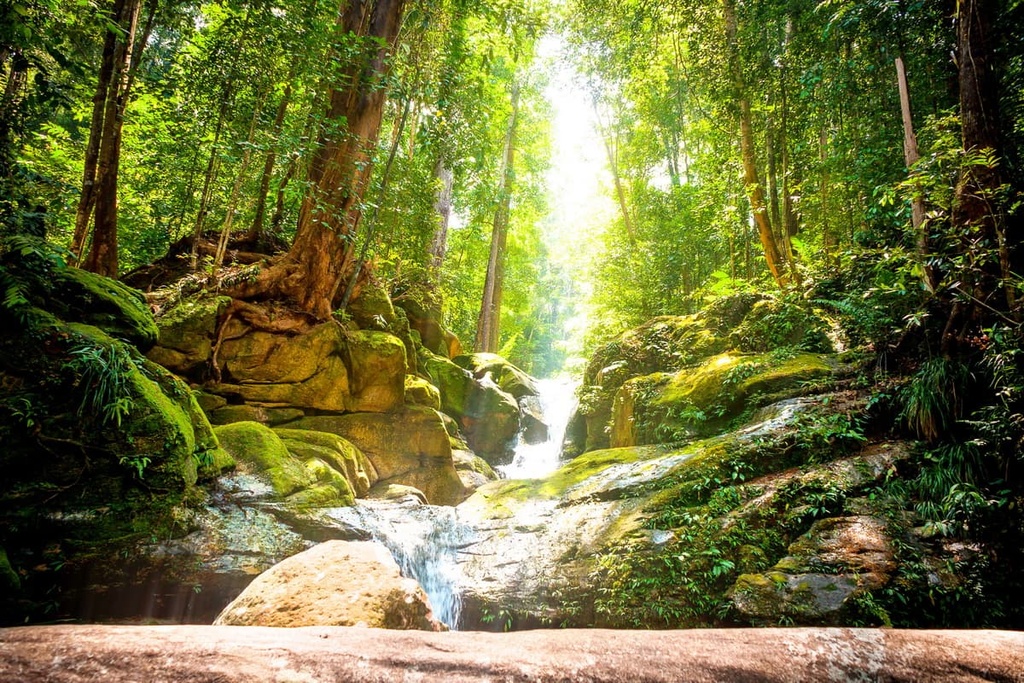
Below the canopy level, you can find shade-tolerant trees of the spurge, madder, custard apple, nutmeg, and laurel families, many of which are often decorated by ferns, orchids, and lianas. And below that, on the forest floor, there are herbs, small palms, and seedlings, though from the ground one may also see the caulifory phenomenon, where the fruits of trees, like the durian, grow on their trunks.
This ecoregion is home to many animals, with many endemic rodents and bats and some primates, like Thomas’ flying squirrel, the painted shrew, Hose’s langur, and the gilded tube-nosed bat. Many small and medium-sized carnivores call these forests their homes, too, including clouded leopards, Sunda otter-civets, and sun bears. Larger mammals can be found in slim populations as well, such as the Asian elephant and Sumatran rhinoceros.
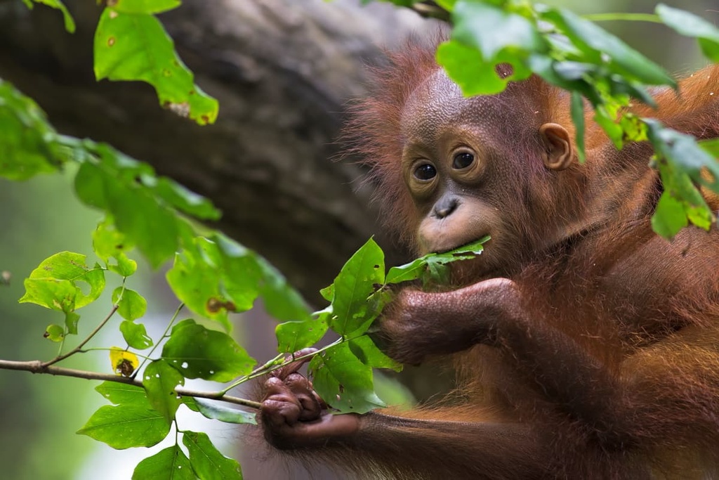
Orangutans, gibbons, langurs, macaques, proboscis monkeys, tarsiers, and slow lorises are the main primates found in these forests. Alongside the endemic black-browed babbler and white-crowned shama, there are almost 400 bird species, like the bushy-crested hornbill, helmeted hornbill, crimson-headed partridge, and mountain barbet.
Finally, you can find many reptiles and amphibians in these forests, like the earless monitor lizard and the crocodile.
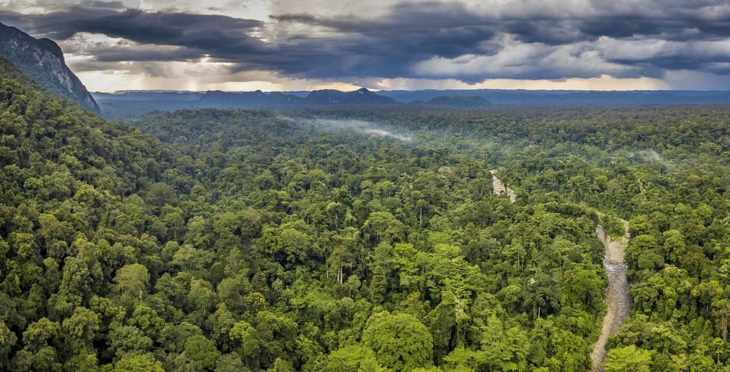
Concentrated mostly along East Malaysia’s eastern borders with Indonesia are the Borneo montane rainforests.
This ecoregion is primarily a tropical cloud forest that’s characterized by evergreen foliage and persistent cloud cover in the higher elevations of Borneo. The flora of these forests is distinct from other Malaysian forests, as the usual dipterocarps decrease in predominance at around 1,000 to 1,200 m (3,281 to 3,937 ft) in elevation.
Instead, up to around 1,500 m (4,921 ft), the Borneo montane forests are populated by oaks, stone oaks, and chestnuts. At even higher elevations, the forest gives way to a belt of shorter, shrubby mountain flora, before it becomes primarily alpine meadows near the summits of the region’s tallest peaks. The forests tend to have thicker adornments of lichen, moss, orchids, and ferns than their lowland counterparts.
These forests are also a hotbed of diverse rhododendrons, orchids, and pitcher plants, containing over 15 species of pitcher plant.
The mountainous terrain is generally more suitable for smaller mammals, and thus tree shrews, squirrels, civets, and rats are some of the more common mammal species that you’ll see the higher up you go in elevation. But from around 500 to 1,500 m (1,640 to 4,921 ft), you can still see primates like the orangutan, gibbon, and langur.
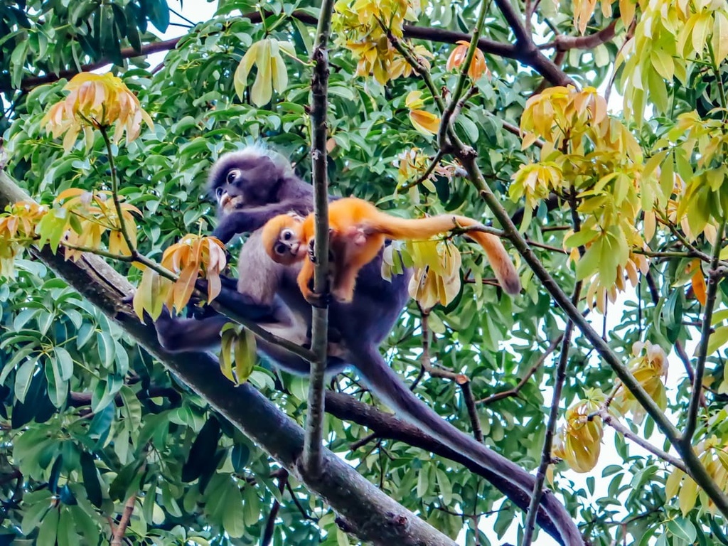
Over 250 bird species call these forests their home, although the remoteness of the region—which is still incredibly intact—means that there may still be many other birds in the area that researchers don’t know about. Mountain serpent-eagles, Bornean whistlers, crimson-headed partridges, mountain wren-babblers, and black-sided flowerpeckers are just some of the many species that live in these forests.
The Borneo peat swamp forest is an ecoregion that occurs mostly around parts of East Malaysia’s coast. It is similar in composition to the peat swamps of the peninsula, and it formed as the result of organic matter accumulation behind mangrove swamps.
There are several forest communities that form within the peat swamp ecoregion. The ramin melawis, Dactylocladus stenostachys, and swamp sepetir, among four species of Shorea, are the main tree types in one community, while species of Shorea dominating over several other forest communities in the ecoregion. However, dipterocarps are generally populous throughout the region.
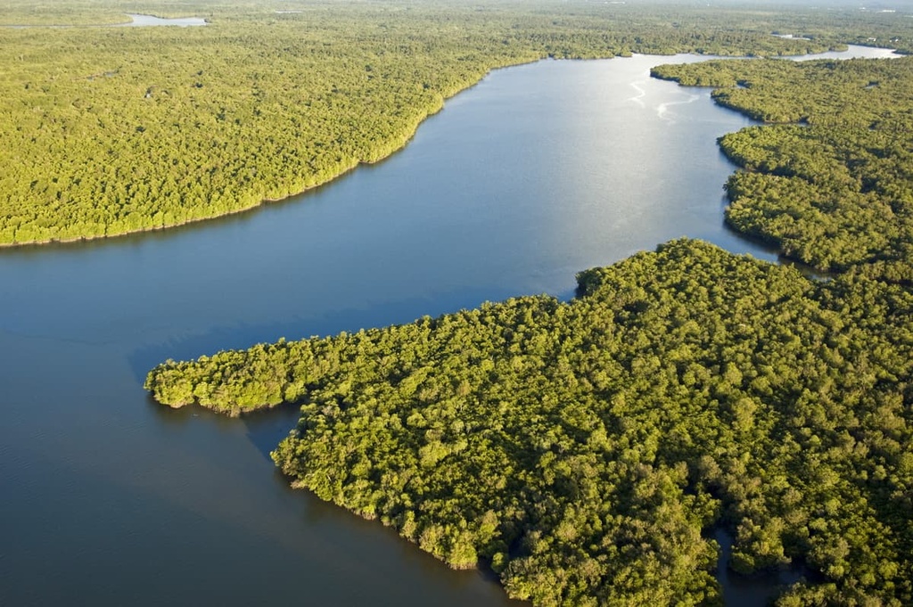
There are also forests marked by Calophyllum obliquinervum, Combretocarpus rotundatus, and Cratoxylum glaucum, and those marked by Parastemon spicatum, Palaquium cochleariifolia, and Tristania obovata. Another community found in the ecoregion is a type of open savanna woodland that’s populated by Litsea crassifolia, Parastemon spicatum, and Garcinia cuneifolia.
Peat swamps in the ecoregion are also home to many palms, such as the red-stemmed sealing wax palm.
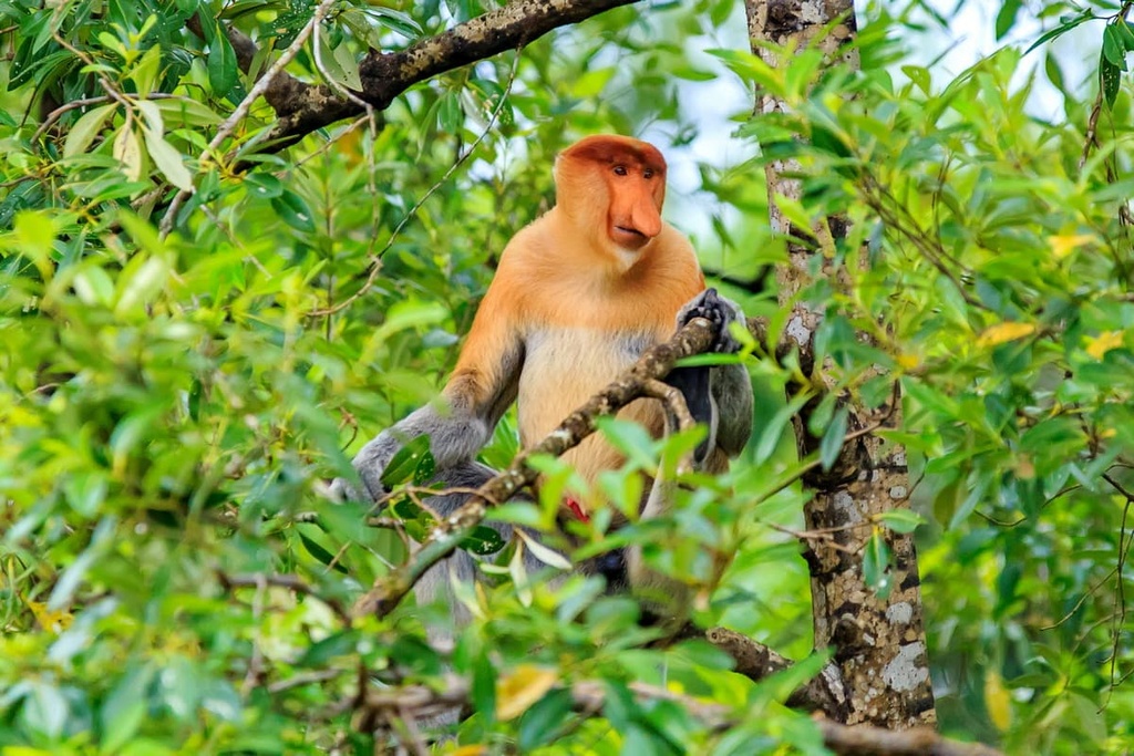
While peat swamps are not generally as known for biodiversity or endemism as the rainforest, the Borneo peat swamp is a critical habitat for the cartoon-looking proboscis monkey. Three near-endemic species include the Borneo roundleaf bat, the Javan white-eye, and the hooked-billed bulbul.
Populations of long-tailed macaques, orangutans, silvered langurs, gibbons, and other monkeys also reside in these forests. Additionally, one of the world’s most popular aquarium fish, the arowana, can be found in peat swamp pools and rivers in the ecoregion, as can monitor lizards, crocodiles, false gavials, otters, and many species of waterbirds.
Malaysia has been inhabited by hominids since prehistoric times, when it was still connected with mainland Asia. The first evidence of modern humans in the country is a 40,000-year-old skull found in the caves of Sarawak. There is also evidence of Mesolithic and Neolithic burial sites around the same area.
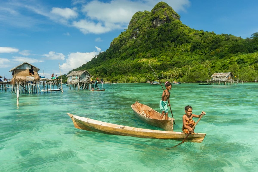
Many different peoples came and went from what is now Malaysia over those next tens of thousands of years. A large number of these early residents of what’s now Malaysia came from mainland Asia, though by around 1,000 BCE, many people started to arrive in the region as a result of Austronesian expansion.
The peninsula would then become influenced by and/or connected to India and China around the first century BCE, as trade relations were established in both countries. Hinduism and Buddhism became prominent religions among the people during the first millennium CE, and starting around the fourth century, Sanskrit even became a writing system that found some use on the peninsula.

By the second and third centuries CE, many Malay kingdoms had been established along the peninsula, some with connections to nearby locations and kingdoms in Indochina. But from the seventh to thirteenth centuries, these kings started to swear allegiance to the Buddhist Srivijaya Empire, a maritime power that spanned a large area of the Malay archipelago including the peninsula, Sumatra, Java, and some pieces of Borneo.
The Srivijaya Empire faced pressure from other Indochina kingdoms who tried to gain power in some of the weaker Malay states. The empire eventually faced a great breakdown that was accelerated by the diminishing power of the capital over its vassal states. The center of power in the peninsula became the Majapahit Empire not long afterwards in the fourteenth century, and later it became a similarly thalassocratic Javanese Hindu empire.

That same century saw the spread of Islam throughout the peninsula, particularly among Malays. The peninsula became host to several different European empires at various times and in various locations throughout the next couple centuries, including the Portuguese and Dutch claims to Malacca in the 1500s and 1600s, respectively, and then the arrival of the British Empire in the late 1700s, which saw them take Malacca and other nearby settlements as well.
The Brits consolidated several Malaysian states into the Federated Malay States, and they put British advisors into power for Malaysian rulers. This is also where Borneo comes into greater play, as it, too, came under British rule in the mid to late 1800s.
The Malaysian states and British Borneo were attacked and occupied by Japanese forces during World War II, at which time the desire for independence became stronger among much of the Malaysian people, while the Brits sought to unite these territories as one crown colony. In 1948, the states became the Federation of Malaya, wherein the rulers of the Malay states were supposed to operate independently, but under British protection.
This was not met with entirely positive reactions and guerrilla campaigns were waged against the government to get the British to leave the region. Eventually, in 1963 but with conflict with Indonesia and the Malaysian communist parties, the Malayan states alongside the British colonies in Borneo were made independent, creating a unified Malaysia.
Peninsular and East Malaysia both offer their own unique opportunities for exploring Malaysia’s rich landscape on foot.
However, be sure to check whether a park requires the use and reservation of guided tours in order to travel through it, whether parts of it are only open seasonally, and whether there are specific advisories for dealing with bugs and other local wildlife. Many of the country’s parks have strict regulations for visitors, so it’s important that you know what to expect before your adventures.
Here are some of the best hiking areas in Peninsular Malaysia to check out during your trip.
Home to one of the world’s oldest deciduous rainforests, Taman Negara is one of the best ecotourism destinations on the peninsula as it is resplendent in flora and fauna of all sorts. The park’s name is a literal translation of “National Park” into Malay, bestowing upon it an increased importance and significance, all of which becomes evidence upon sight of the park itself.
There are many options for exploring the park, but for a quick hike to panoramic views of the surrounding area, check out the 344 m (1,129 ft) climb up Bukit Teresek.
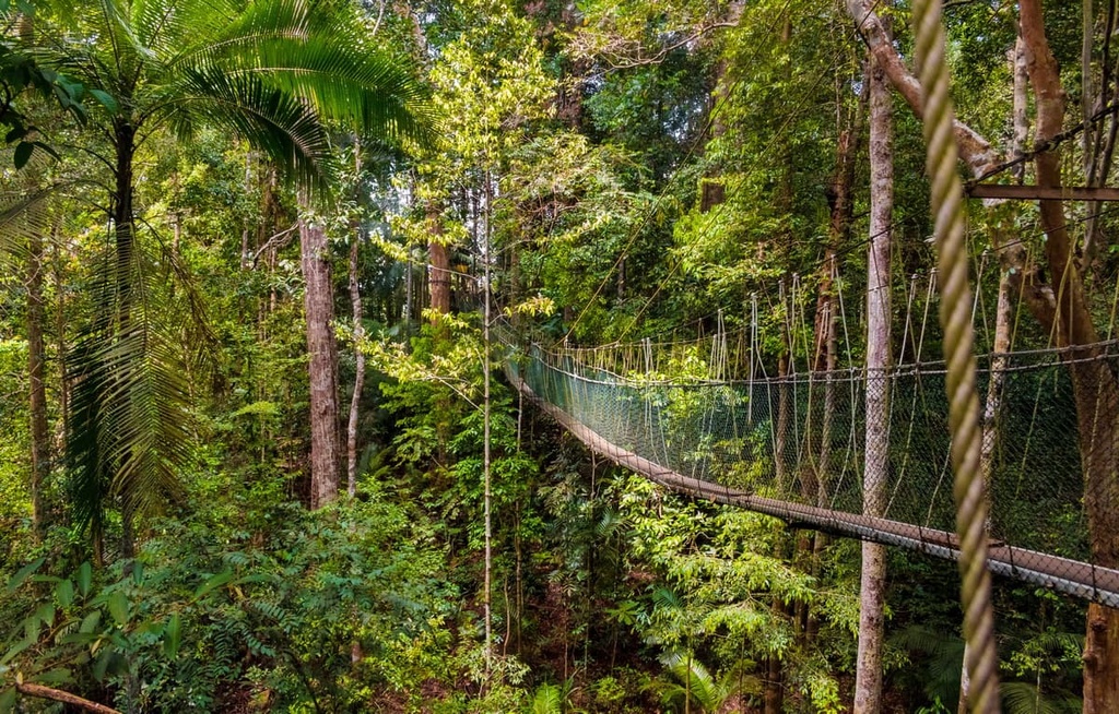
For a day hike, there is the 8.5 km (5.3 mi) Lata Berkoh Trail, which takes you along a gentle stream and cascade. And for a multi-day adventure, there is the 3–4 day trek up Gunung Tahan, the highest point on the Malay Peninsula and one of the most difficult summits in the country.
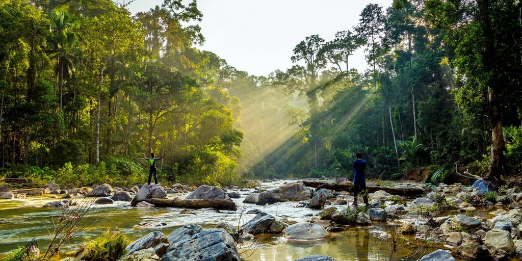
In the southern part of the peninsula, spanning the southernmost point of the Tenasserim Hills, is Endau-Rompin National Park, which was named after the two main rivers that flow through it. The forests and rock formations of the park date back millions of years, and they support a tropical ecosystem that features many of Malaysia’s most famous critters.
Guided hikes run throughout the park’s forests, with several—such as the 4 km (2.5 mi) Takah Tinggi hike—passing by or ending up at some of the park’s beautiful waterfalls, volcanic rocks, and calm lakes.
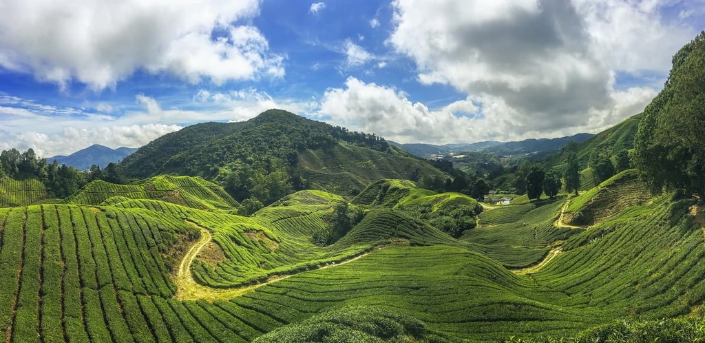
The Cameron Highlands, located near Kuala Lumpur and along the spine of the Titiswanga mountains, are home to lush waves of tea estates, orchards, farmlands, and forests, and a vast variety of flora and fauna. One of the most extraordinary locations in Peninsular Malaysia, the highlands’ 14 trails take you to see waterfalls, green peaks, and gorgeous temples that are well worth the trip.
Trails 8 and 10 in the highlands are considered most attractive to more experienced hikers. They are relatively shorter hikes that ascend up the tough terrain of Mt. Berembun and Mt. Jasar, respectively, and they boast amazing views of the surrounding highlands.
The hill of Bukit Larut is known for its incredible biodiversity and for the fact that it receives the highest amount of rainfall in the country each year.
When the weather is forgiving, however, it is also a prime location for hiking through subtropical forests with amazing views and glimpses of colonial architecture. The main attraction in the area is a 13 km (8.1 mi) trail that takes around 7 hours to complete and that leads up to the mountain’s summit.
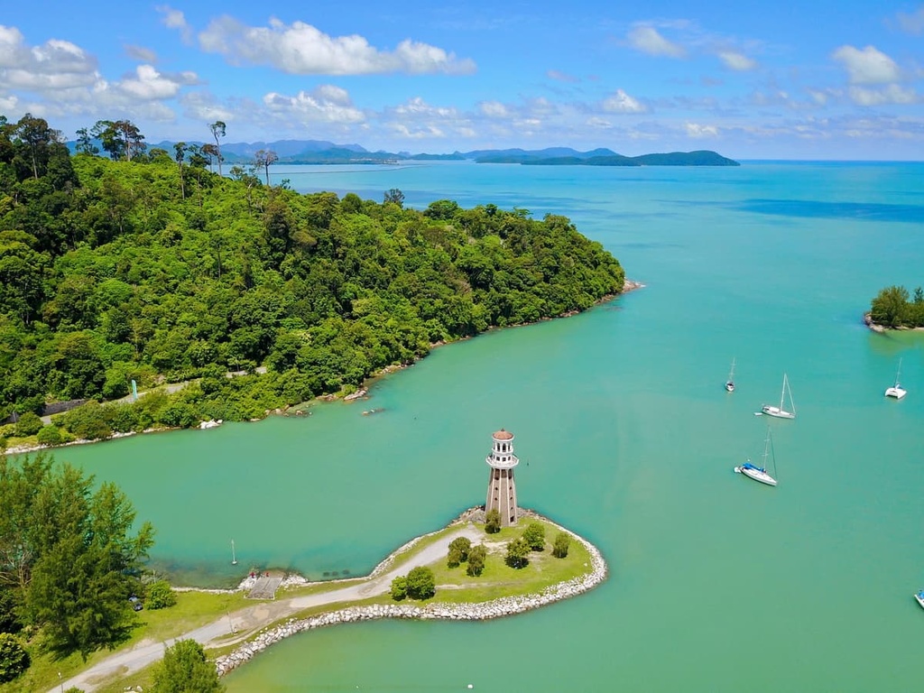
A small island off the peninsula’s northwestern coast, Langkawi features an expanse of thick and well-preserved forest as well as two named mountains, Raya and Matchinchang, both which can both be submitted in the span of a day.
These trails take you through the forests’ tall tropical canopy and alongside beautiful jungle streams, all the while you listen to a natural soundtrack created by the sounds of the many bird species in the region.
Other notable hiking areas in Peninsular Malaysia include:
Here are some of the best hiking areas in East Malaysia to check out during your trip.
Kinabalu Park is one of Malaysia’s oldest and most famous national parks. It is a hotspot of ecological diversity, as it contains many of the most stunning elements of southeast Asian forests and mountains. Of course, it is also home to its namesake Kinabalu mountain, which is the tallest peak in the country.
The trails of Kinabalu are plentiful and extensive. The longest hike in the park is the 5.6 km (3.5 mi) Liwagu Trail, a moderately challenging route immersed in the park’s green canopies that leads to the trailhead for Mount Kinabalu, with great views of the park’s mountains and hills.
Also located near the Liwagu Trail is the Kiau View Trail, a 2.3 km (1.4 mi) hike with scenic sights of the forest and the many birds that call it home. There is also the Silau Silau Trail, a 3.1 km (1.9 mi) hike that takes you along totally flat land.
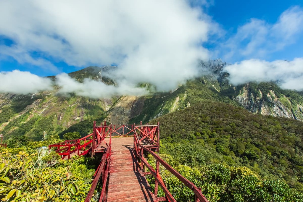
To summit Kinabalu itself, a popular route is the 2-day trek that’s relatively beginner-friendly. However, the cost to do so is rather high and slots may be hard to come by due to high demand, so it is generally a good idea to book your trip as early as possible.
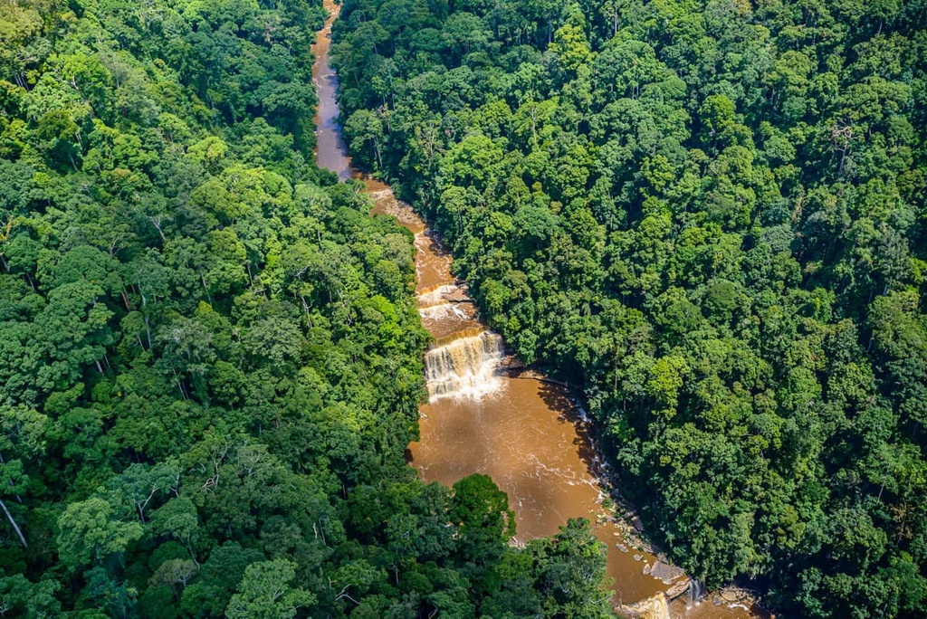
The Maliau Basin Conservation Area, famously known as Malaysia’s “Lost World” for its remoteness, is a drainage basin in Sabah that’s full of well-maintained forests, which are home to many endemic species of flora and a variety of fauna.
The area is home to about 70 km (43.5 mi) of trails, many with considerable difficulty from the ever-changing elevation and steep climbs through gorgeous, untouched jungle and impossibly tall trees.
On Borneo’s northwestern coast, in Sarawak, there is Bako National Park. The park contains steep cliffs of sandstone, white sand beaches, uniquely-shaped sea arches and rock formations, and forests replete with streams and waterfalls.
There are 16 marked hiking trails in the park that range in length from 0.2 to 5.75 km (0.1 to 3.6 mi). These trails provide a variety of different experiences and options for exploring the area and for potentially getting a glimpse of its famous proboscis monkeys.

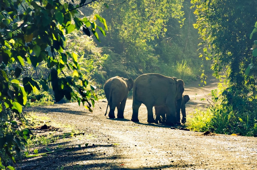
In the northeastern corner of Borneo is a vast span of pristine, undisturbed lowland forest known as the Danum Valley Conservation Area, which is one of the richest and most biodiverse places in the world. Its canopies are home to hundreds of unique animal species, making it one of the best places in the country to catch a glimpse of some of Malaysia’s most famous creatures.
Jungle hiking through the valley is quite popular. The longer trails in the conservation area usually require guides, though there are shorter self-guided trails available as well. One can explore the forest either on the ground, along its vast network of trails, and above the ground on bridges and treetop walks. The area is also known for its night walks, where even more interesting animals may be out and about.
Gunung Mulu National Park is home to treasures both above and below ground, including the considerable 2,377 m (7,799 ft) tall Gunung Mulu and the stunning Melinau limestone cave system.
Most hiking experiences in the park require a tour guide and guide fee. However, there are some smaller trails in the park that you can hike without a guide.
For a closer look at Malaysia’s interesting marine ecosystems, there is Tunku Abdul Rahman National Park.
The park contains a group of 5 islands that are located around Borneo’s northern coast. These islands are full of cliffs, caves, crevices, mangrove swamps, exposed sandstone, beaches, and tropical jungles. Several dozen kilometers of trails weave through the park and its islands.
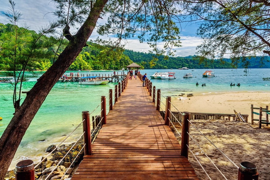
Other notable hiking areas in East Malaysia include:
Looking for a place to stay in Malaysia? Here are some of the best cities and towns to check out in the country.
One of Malaysia’s capital cities with a population of around 1,800,000 (and 7,600,000 in its urban area), Kuala Lumpur is a metropolis that has undergone rapid development in recent years.
Its archeological style mixes modern skyscrapers and glass complexes with Malay, Moorish, Neo-Gothic, and colonial-style buildings. Famously, the city is the home of the dual Petronas Towers and the independent Kuala Lumpur Tower, both of which grant Kuala Lumpur its impressive and ultra-modern skyline.

The city is a cultural and economic hub in Malaysia, as it is host to many of its significant cultural festivals. It is also one of the most visited cities in the whole world. Notable destinations in the city include the Moorish-style Sultan Abdul Samad Building at the foot of Merdeka Square, the traditional Malay-style National Museum, and the six-layered Thean Hou Temple.
Shopping and dining is another major draw of Kuala Lumpur, as it abounds with malls, shopping districts, and markets. For example, you can check out the bustling streets and food stalls of Petaling Street, the city’s Chinatown or you can head to the nightclubs and bars in the Golden Triangle. Within the city, you can also find natural getaways like the Lake Gardens, which is a large recreational park full of greenery and floral gardens.
Though driving remains popular for those getting around the city, rail lines like the KTM Komuter, Light Rapid Transit, and Klang Valley Integrated Transit system provide many public opportunities for those looking to move in and around the city, as do the Kuala Lumpur bus services. The city’s rail lines also connect it to Kuala Lumpur International Airport, a massive airport and the primary airport for flying into the country.
George Town, the capital of the state of Penang, is Malaysia’ third most populous city with around 700,000 residents.
The city has many claims to notoriety and to its popularity as a Malaysian tourist destination due to its wide and colorful variety of architectural styles—a sign of the many peoples that have formed the city’s spirit—alongside its unique cultural character, famous street food, busy retail centers, and recent status as a technological manufacturing hub.
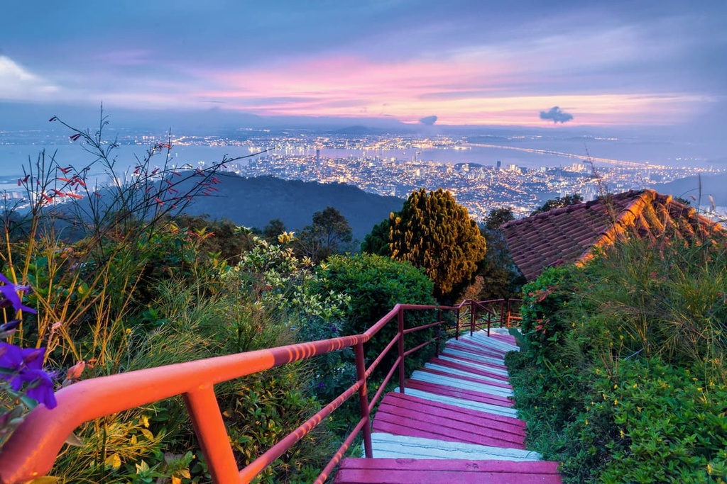
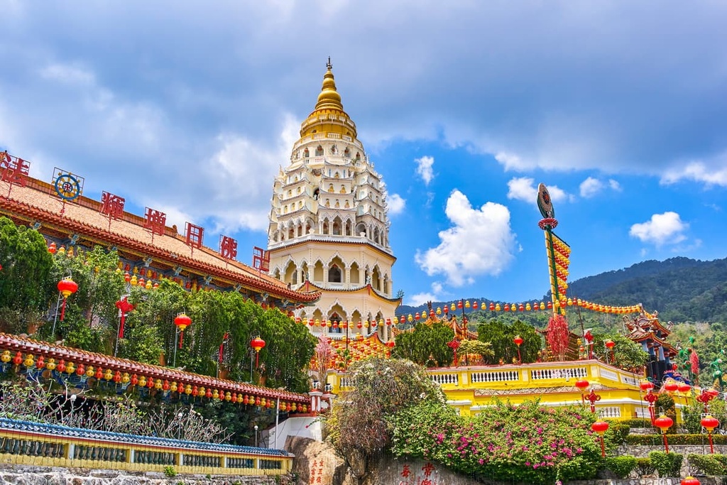
George Town is home to many museums and cultural institutions, like the Penang State Museum and Art Gallery, Batik Painting Museum, the Cheong Fatt Tze Mansion, and Penang Islamic Museum. Kek Lok Si, the largest Buddhist temple in Malaysia, as well as the Chinese clanhouse Khoo Kongsi, the stunning architecture of Penang City Hall, and the lively streets and excellent food of Little India, are other notable destinations in the city.
Because of the city’s aforementioned unique and diverse cultural character, festivals and celebrations occur throughout the year to great effect, from Chinese New Year to Buddha Day to the Nine Emperor Gods Festival to Diwali and more. And for a great view of the city, there is the nearby Penang Hill, which is a hill resort accessible via a funicular that’s home to lush forests and amazing vistas.
For getting around the city, public transportation is primarily provided via an extensive system of bus routes. There is also an international airport located to the south of the city, Penang International Airport, that connects it to Kuala Lumpur and to other large cities throughout Asia.

Explore Malaysia with the PeakVisor 3D Map and identify its summits.


