We use necessary cookies to make the website work, also they are used to understand site usage and make improvements.
Accept
Reject
PeakVisor
Explorer
Explorer
Ski Map
Hike Map
3D Map
Get PeakVisor App
Sign In
Search by GPS coordinates
Teleport
Latitude
N
S
°
'
''
Longitude
E
W
°
'
''
Units of Length
m/km
ft/mi
Explorer
Ski Map
Hike Map
3D Map
Search by GPS coordinates
Settings
Sign In
Contact us
GPS coordinates
Settings
Share
×
Copy Link
Copy Coordinates
Facebook
Twitter
Email
Scan the QR code and open PeakVisor on your phone
❤ Wishlist
×
Choose
Delete
CHELSEA MONAHAN
Mountain
12
Mountain Hut
0
Mountain pass
0
Lake
0
Ultra
1
Highest check-in
Peak:
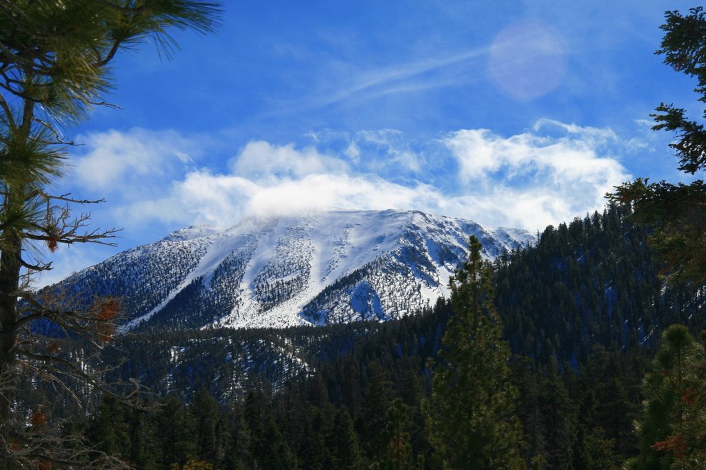
San Jacinto Peak
Elevation:
3 300 m
Most prominent check-in
Peak:
San Jacinto Peak
Prominence:
2 534 m
12 check-ins
By Date
By Date
By Elevation
By Prominence
San Jacinto Peak
1627231810
3 300 m
(prom:
2 534 m
)
El Capitan
1615135350
1 026 m
(prom:
40 m
)
El Cajon Mountain
1615132949
1 120 m
(prom:
601 m
)
Woodson Mountain
1612450696
882 m
(prom:
443 m
)
Hot Springs Mountain
1610825540
1 991 m
(prom:
800 m
)
Cuyamaca Peak
1610217758
1 985 m
(prom:
873 m
)
Boucher Hill
1609698653
1 660 m
(prom:
88 m
)
Monument Peak
1606508598
1 910 m
(prom:
103 m
)
Garnet Peak
1606490968
1 798 m
(prom:
142 m
)
Black Mountain
1603805157
475 m
(prom:
279 m
)
Stanley Peak
1602770424
605 m
(prom:
133 m
)
Pyles Peak
1601821489
420 m
(prom:
60 m
)
Sierra Club Hundred Peaks Section
All summits:
6 out of 246
Hundred Peaks Section Star Emblem Peaks
All summits:
2 out of 47
Sierra Club Lower Peaks Committee
All summits:
1 out of 75
Ultra mountains of California
All summits:
1 out of 9
USA
Independent peaks:
5 out of 7529
California
Independent peaks:
5 out of 838
Highpoints:
2 out of 54
Mission Trails Regional Park
All summits:
1 out of 5
Cleveland National Forest
Independent peaks:
1 out of 7
Cuyamaca Mountain State Wilderness
All summits:
1 out of 6
Cuyamaca Rancho State Park
All summits:
1 out of 12
Mount San Jacinto State Wilderness
All summits:
1 out of 10
Mount San Jacinto State Park
All summits:
1 out of 12
PeakVisor for iOS and Android
Be a superhero of outdoor navigation with state-of-the-art 3D maps and mountain identification in the palm of your hand!
Scan the QR code to download PeakVisor mobile app