We use necessary cookies to make the website work, also they are used to understand site usage and make improvements.
Accept
Reject
PeakVisor
Explorer
Explorer
Ski Map
Hike Map
3D Map
Get PeakVisor App
Sign In
Search by GPS coordinates
Teleport
Latitude
N
S
°
'
''
Longitude
E
W
°
'
''
Units of Length
m/km
ft/mi
Explorer
Ski Map
Hike Map
3D Map
Search by GPS coordinates
Settings
Sign In
Contact us
GPS coordinates
Settings
Share
×
Copy Link
Copy Coordinates
Facebook
Twitter
Email
Scan the QR code and open PeakVisor on your phone
❤ Wishlist
×
Choose
Delete
Burgstaller Roland
Mountain
8
Mountain Hut
8
Mountain pass
2
Lake
0
Ultra
0
Highest check-in
Peak:
Großes Wiesbachhorn
Elevation:
3 564 m
Most prominent check-in
Peak:
Großer Hafner
Prominence:
824 m
18 check-ins
By Date
By Date
By Elevation
By Prominence
Kitzsteinhorn
1702990327
3 209 m
(prom:
585 m
)
Wildkogel Alm
1702972982
2 095 m
Schmittenhöhe
1702825014
1 965 m
(prom:
185 m
)
Hornfeldspitz
1696935640
2 277 m
(prom:
59 m
)
Großes Wiesbachhorn
1696583243
3 564 m
(prom:
491 m
)
Großer Hafner
1695811471
3 076 m
(prom:
824 m
)
Kattowitzer Hütte
1695799853
2 320 m
Untere Marhütte
1695789658
1 202 m
Gmünder Hütte
1695789366
1 186 m
Astlehen
1695361653
1 054 m
Winklhütte
1695361395
1 044 m
Vögeialm
1695360555
1 360 m
Brotrinnl
1695359861
1 844 m
Oberhütte am See
1695359748
1 869 m
Akarscharte
1695317357
2 315 m
Steirische Kalkspitze
1695313865
2 459 m
(prom:
147 m
)
Meregg
1695311385
2 235 m
(prom:
14 m
)
Brotrinnl
1695309241
2 088 m
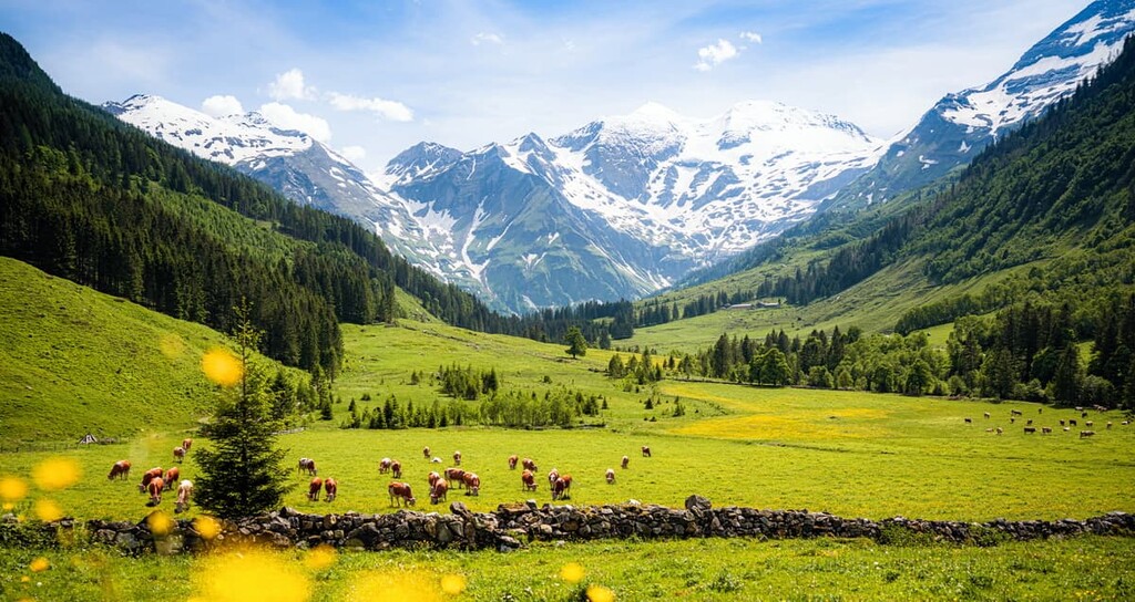
Austria
Independent peaks:
3 out of 790
Salzburg
Independent peaks:
3 out of 132
Highpoints:
1 out of 6
Carinthia
Independent peaks:
1 out of 110
Styria
Alps
Independent peaks:
3 out of 2451
High Tauern National Park
Independent peaks:
3 out of 44
Biosphärenpark Salzburger Lungau und Kärntner Nockberge
Naturpark Sölktäler
PeakVisor for iOS and Android
Be a superhero of outdoor navigation with state-of-the-art 3D maps and mountain identification in the palm of your hand!
Scan the QR code to download PeakVisor mobile app