Scan the QR code and open PeakVisor on your phone
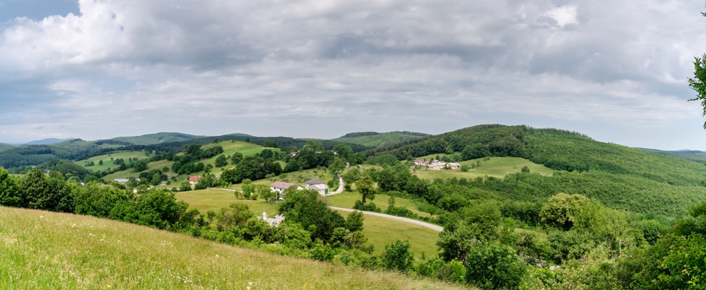
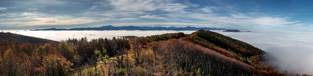
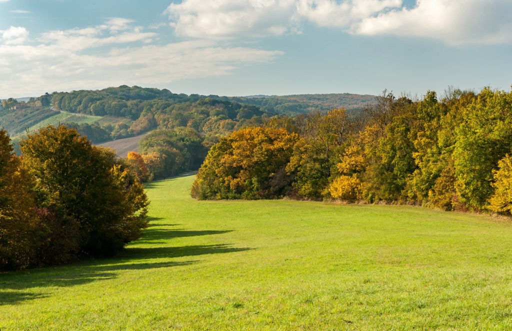
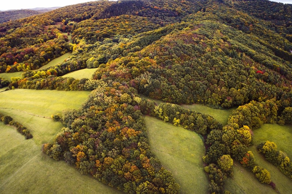
Vienna Woods is a relatively small mountain range or better to say a forested highlands located to the west of Vienna, Austria’s capital and largest city. The main feature of Vienna Woods is that it is the premier destination for outdoor recreation for Vienna’s residents of almost 2 million people and travelers who come to the city for a total of about 15 million annually. Yes, one of Europe's major capitals of culture is known not only for its great classical composers, their operas and waltz, and architecture where you can experience it, but also for the Vienna mountains, synonymous with the Vienna Woods, which are also the UNESCO biosphere reserve since 2005. The area's highest mountain is Schöpfl (893 m / 2,930 ft) and the most prominent peak is Hoher Lindkogel (838 m / 2,749 ft). In total there are 623 named mountains in Vienna Woods.
The name of the mountain range comes from the city of Vienna, which in turn most likely comes from the Italian “vedunia” ("forest stream"), rooted in Old High German “uuenia”. The stream probably refers to the Wien River. It originates in the Vienna Woods and flows into the larger Danube River after about 34 km (21 mi). But this is only the first theory. According to two others, it comes from the Roman name of the Celtic settlement Vindobona (“fair / white / bright village”) or from Wends, the name of a tribe of West Slavs.
The name of the mountain range in German is Wienerwald, where “wald” means "forest", respectively. In Italian it is Selva Viennese, in French—Wienerwald, in Spanish—Bosques de Viena, in Russian—Vensky Les.
The "Tales from the Vienna Woods" ("Geschichten aus dem Wienerwald") is a famous waltz by Johann Strauss II, one of the greatest Austrian classical composers, written in 1868.
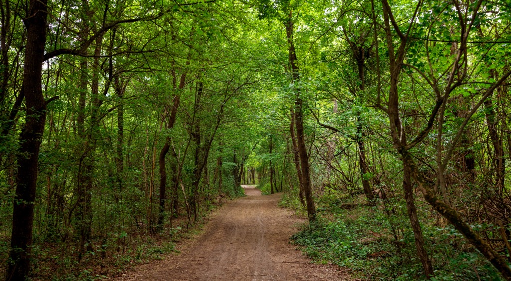
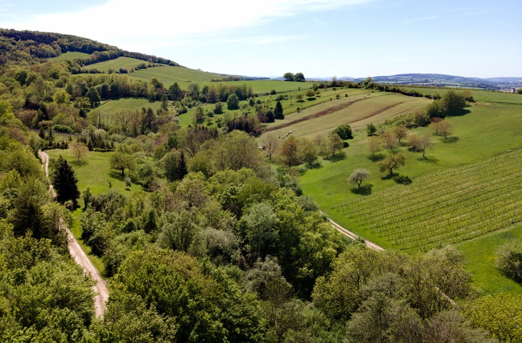
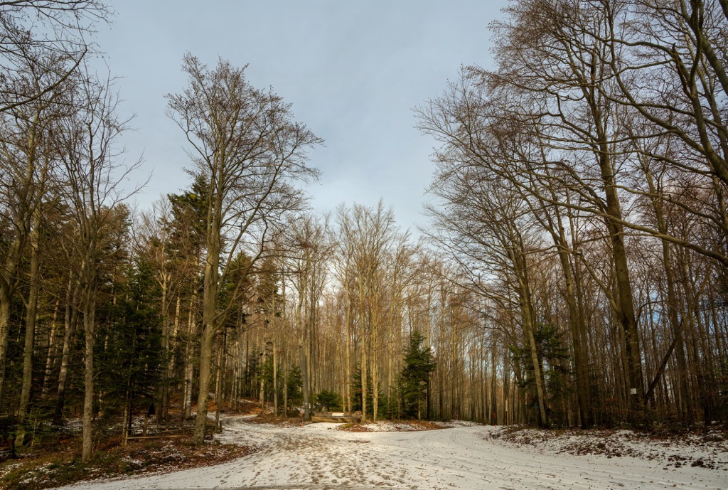
The Vienna Woods is a relatively small mountain range consisting of rocky hills covered with woods represented mostly of oaks, beeches, and hornbeams trees in the north of the range, and pines, and spruces in the south with a total area of about 1,000 sq km (km mi) west of Vienna, the capital of Austria.
The state of Vienna is also the smallest of the 10 states of the country, located actually on the territory of the state of Lower Austria, whose name suggests that it is the lowest area in the country in relation to the Alps to the west and south (yes, there is a paradox here).
In other words, the range is located in these two regions at once, because the municipality of Vienna itself is only 415 km (sq km), so it is twice smaller than the range. Here is another fact to compare the size of the Vienna Woods and the municipality: the latter has 94 of the 623 named mountains of the range, which means that, if you count the mountains, it is seven times larger than the city.
The length of the range is 45 km (28 mi), and the width is about 25 km (15 mi) on average.
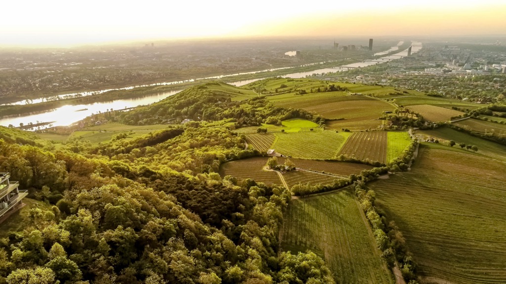
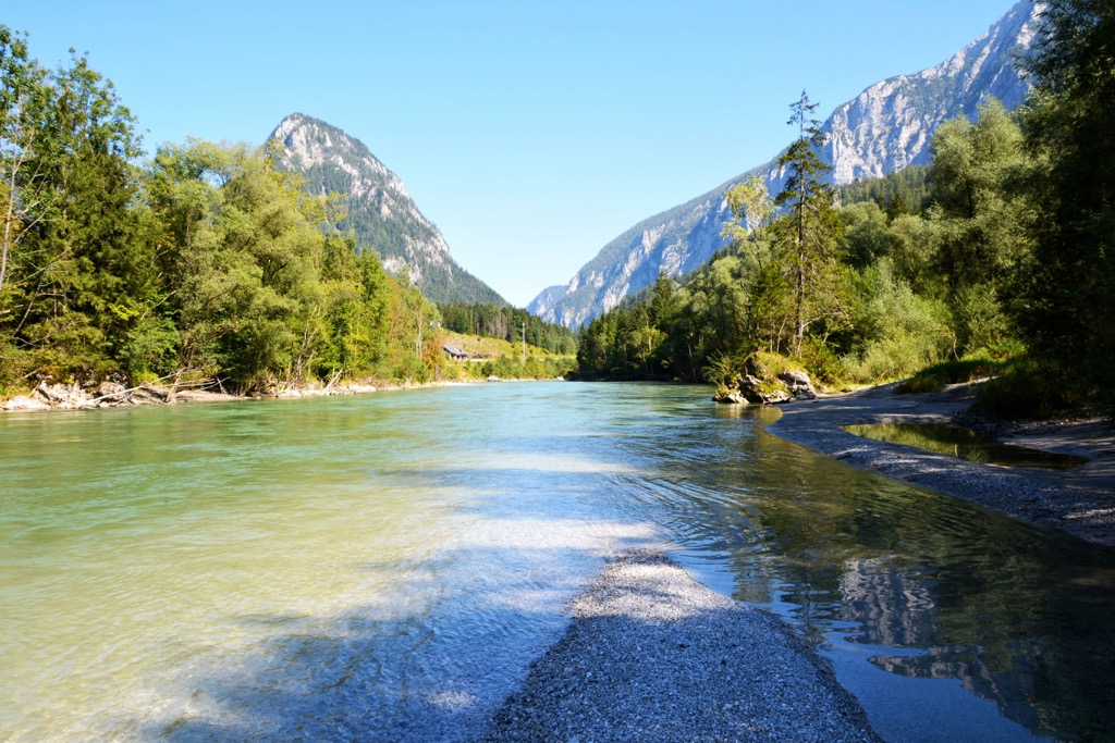
The mountain range is bordered by several rivers: in the north and northeast it is Danube, in the west it is Traisen, and in the south and southeast it is Gölsen, Triesting, and Schwechat.
Vienna Woods is not difficult to reach, given that it starts actually right in Vienna, on the northern, western, and southwestern borders of the city. The city is well served by public transportation ranging from free scooters and bicycles to subways, streetcars, and nature trains. But of course, to get deep into the mountainous area you need to take a bus. The main Vienna public transport company is Wiener Linien.
Vienna itself is easily accessible from any major European city or by direct flight from abroad to Vienna International Airport (VIE).
Geologically, the Vienna Woods is in a very interesting position. This mountain range is the northeastern tip of the Alps on the border with the Carpathians, from which it is separated by the lowlands of the Vienna Basin with the Danube River. It is therefore dominated by various sedimentary rocks, mainly sandstones, limestones, and shales.
According to the SOIUSA, the Italian classification of the Alps, the Vienna Woods is one of the two mountain groups on par with the Gutenstein Alps (Alpi di Gutenstein) in the Eastern Lower Austria Alps (Prealpi Orientali della Bassa Austria), which in turn is one of the three parts of the Northern Lower Austria Alps (Alpi della Bassa Austria) on par with Ybbstal Alps (Alpi dell’Ybbstal) and Türnitz Alps (Alpi di Türnitz) under number 27 with the highest peak of Hochstadl (1,919 m / 6,296 ft), belonging to the Ybbstal Alps. The Lower Austria Alps themselves are one of the seven major mountain ranges in the Northeastern Alps (Alpi Nord-orientali) in the Eastern Alps (Alpi Orientali) in the same classification.
According to the AVE, the classification of the Eastern Alps of the German-Austrian Alpine Club, the Vienna Woods is a separate mountain range under number 24 as part of the larger Northern Limestone Alps (Nördliche Kalkalpen), one of the four major parts into which this mountain region is divided in this classification. In the AVE, the Ybbstal Alps, the Türnitz Alps, and the Gutenstein Alps are also equivalent groups to the west of Vienna Woods.
In other and simpler words, if you take the Eastern Alps as a whole according to this or that classification, as well as of the entire huge Alpine arc together with its western part, it turns out that Vienna Woods is its northeasternmost tip, the opposite end of which reaches the city of Nice in France on the Mediterranean Sea.
When it comes to individual summits, the highest peak of the Vienna Woods, Schöpfl (893 m / 2,930 ft), is located southwest of Vienna in the municipality of Saint Pölten (Sankt Pölten), the capital and largest city of the state of Lower Austria, in the Baden District (Bezirk Baden), roughly in the middle of the mountain range. By the way, it has almost all of the highest peaks of the Vienna Woods.
Except for its height, the mountain is also known for the Leopold Figl Observatory of the University of Vienna with a 1.5 m (4.9 ft) telescope, named after one of the country’s Federal Chancellors, that is the head of government of Austria, between 1945 and 1953. At the top of the mountain, there is also a wooden observation tower Matraswarte, which allows you to climb even higher and see even farther.
Both sites can be reached via an uncomplicated marked hiking trail. Such a trails lead also to almost all of the peaks of the Vienna Woods, continuing to the neighboring Mitterschöpfl (Middle Schöpfl) at 884 m (2,900 ft) and Hinterschöpfl (After Schöpfl) at 866 m (2,841 ft), which are the third and fourth highest in the Vienna Woods, respectively.
So we are missing the second highest peak, which is Gföhlberg (885 m / 2,903 ft). It is located to the west of the aforementioned trio.
The most prominent mountain of Vienna Woods, Hoher Lindkogel (838 m / 2,749 ft), with the prominence of 342 m (1,122 ft) is located in the same area as Schöpfl and Gföhlberg, south of them and north of the towns of Berndorf and Bad Voslau.
However, all of the above-mentioned summits belong to mountains with gentle slopes covered with forests. The most unusual peak of the Vienna Woods is Peilstein (718 m / 2,355 ft). It stands out thanks to a huge, almost vertical rocky cliff like a real mountain, on the edge of which grow pine trees that are not afraid of heights, and which makes it easy to remember and even love.
The entire Vienna Woods are the eponymous Wienerwald Biosphere Reserve of UNESCO of 105,000 ha, created in 2005 to protect its unique landscapes, flora and fauna, and human history.
In addition, there are two inner large parks in the western part of the range between its central area and the city of Vienna: the former privately owned natural territory Lainzer Tiergarten, which was opened to public, and the Föhrenberge Nature Park (Naturpark Föhrenberge). The name of the first translates as "Animal Garden" or zoo of the Lainzer District of Vienna (the park is known for its large population of wild boars numbering up to 1000, so it's very easy to spot them on the trails), the second as the "Pine Mountains".
The latter also contains the small Sparbach Nature Park (Naturpark Sparbach), named after the nearest town south of it.
All three natural areas, as well as the entire UNESCO Wienerwald Biosphere Reserve, are rugged by the dirt roads ideal for a gravel or mountain biking, and hiking forest and mountain trails, so you don't even have to look for routes here. Simply choose one of the natural or man-made park attractions like Peilstein mountain or the Leopold Figl Observatory on Schöpfl mountain and the nearest town and village and you are likely to find a trail between them, and PeakVisor will help you navigate the route.
For example, of the 30 top trails in the Vienna Woods listed on the region's official tourist website, the longest trail with a self-explanatory name is "Pure Solitude" of 34 km (21 mi), which leads from the town of Laaben to the town of Breitenfurt through almost the entire central part of the mountain range. Two other long—and this time—loop trails are the hike to Schöpfl and Gföhlberg mountains from the town of Brand-Laaben of 23 km (14 mi) long and the hike to Hoher Lindkogel (838 m / 2,749 ft), the most prominent peak of the range, from the town of Pottenstein of 19 km (12 mi) long.
The closest larger parks and hiking areas to the Vienna Woods are the following five:
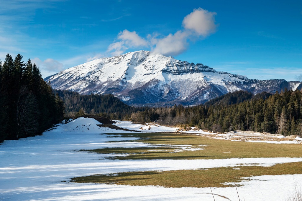
There are several ski resorts in the Vienna Woods. The largest is Schigebiet Unterberg on the namesake mountain near the town of Pernitz with more than 15 km (9 mi) of slopes and more than 3 ski lifts. It is also the biggest ski resort near Vienna and the second biggest in Lower Austria after Hochkar near the town of Göstling with almost 20 km (12 mi) of slopes and more than 8 ski lifts. They are followed by Gemeindealpe, Ötscher, Zauberberg Semmering, Königsberg, Mönichkirchen / Mariensee, and Annaberg resorts with more than 10 km (6 mi) of slopes and more than 5 ski lifts in each of them.
Check the Lower Austria ski resorts map on the larger Austria ski resorts map in the World Mountain Lifts section of the site. It includes information about open ski lifts / slopes in the Vienna Woods in real-time with opening dates and hours. There are also year-round cable cars, funiculars, cog railways, aerial tramways, and all other types of mountain lifts.
Before or after your hike in the UNESCO Wienerwald Biosphere Reserve visit one of its two main info points in Vienna at Anton-Krieger-Gasse / Kalksburger Straße, 1230, and Steinhofgründe, 1140, to get more information on site, pick up a paper map, buy souvenirs, etc. The official tourist site of the Vienna Woods mountain region is Wienerwald.info.
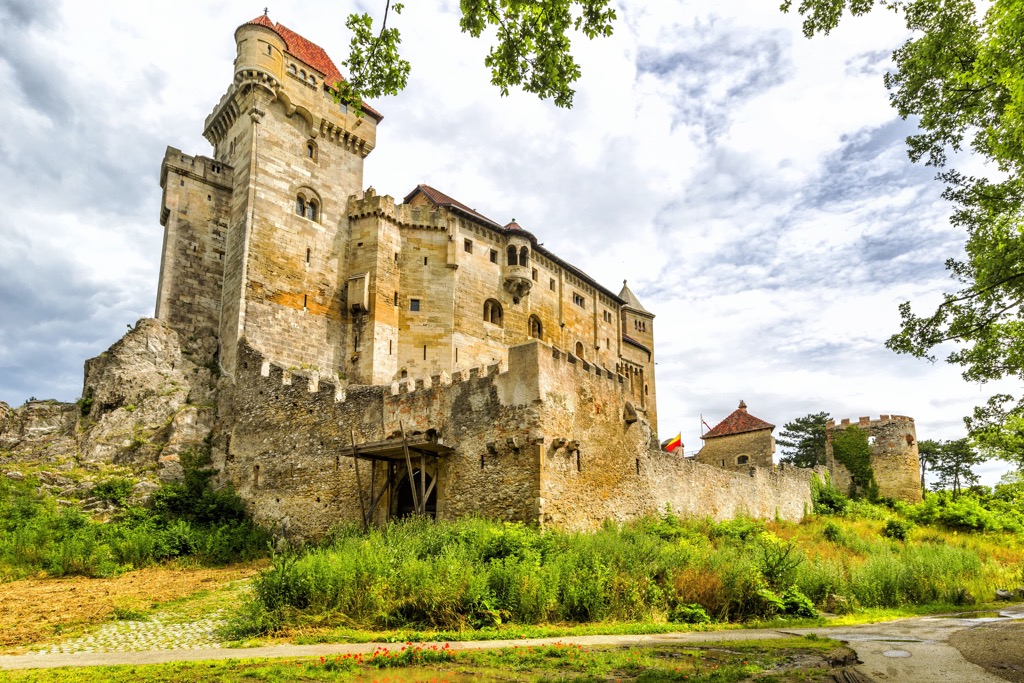
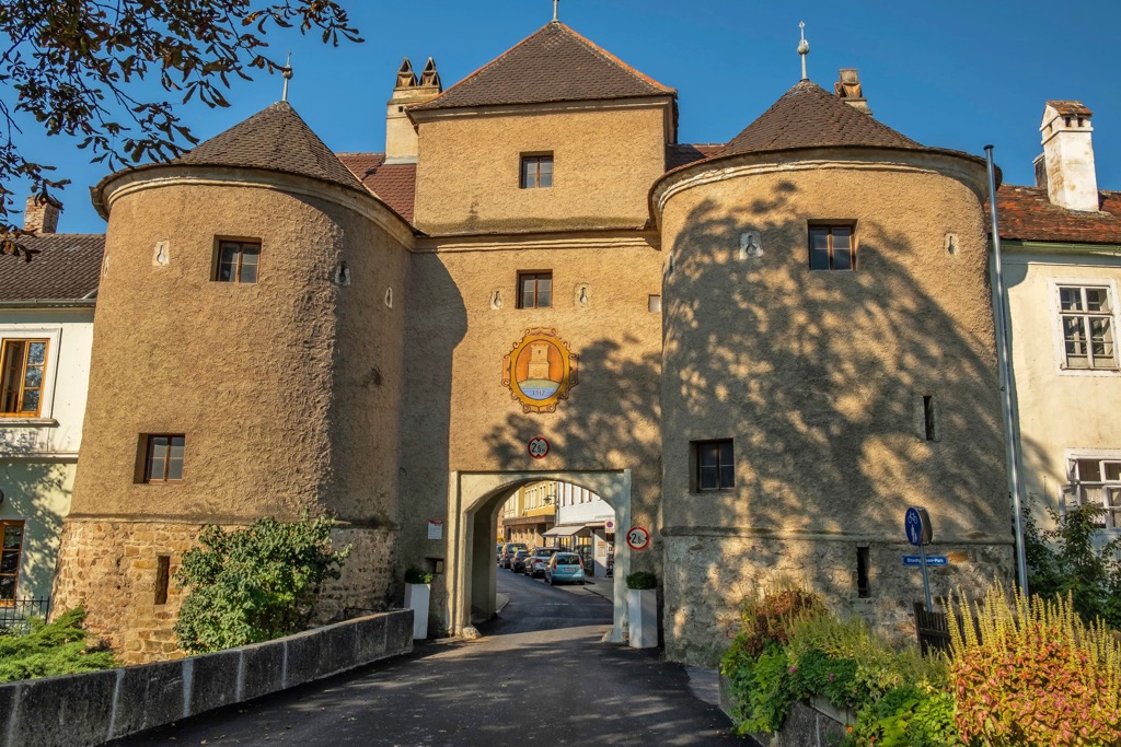
Given that the Vienna Woods are close to Vienna and literally covered with small towns and villages, and its longest trails do not exceed 40 km (25 mi), you can easily find accommodation along the way within the mountain range. Among the main types of lodging here are the guest houses and hotels, as well as luxury villas and even castles, in which you can rent a room or separate apartments.
For example, if you are looking for a place to stay for a week in the spring off-tourist season, there will be more than 200 options to choose from, but in the summer expect lesser numbers, сonsidering Vienna's nearly 2 million inhabitants and, much more frightening, the more than 15 million travelers, most of whom also take their vacations in the summer.
The most unusual accommodation options to me seemed Schlaffass between the Gumpoldskirchen and Thallern—a series of small wooden houses similar to the inverted boxes of wine, Weingartenhotel in an old castle after vineyards in the same part of the Vienna Woods, Chalet Notschkerl & Feinis in a former farmhouse in Kirchstetten, Eventhotel Pyramide—with a huge glass triangular roof like the Louvre museum, in Vösendorf, and Elsbeer Chalet—a free-standing eco-house on the edge of a hill with panoramic views in Michelbach.
There are also several campsites such as Paradise Garden Camping in Kaumberg or Donaupark-Camping in Klosterneuburg for those who travel by their caravan and prefer these types of accommodation.
At the campsites you can also pitch your tent, otherwise, it is not allowed in the park's area, as almost everywhere else in Europe.
In addition to Vienna, you already know the cities and resorts closest to Vienna Woods from the guide, but let's list them again to summarize the information.
So, if we move around the mountain range along the rivers from Vienna counterclockwise, you will reach the towns of Korneuburb, Tulln an der Donau, Traismauer, Herzogenburg, St. Polten, Lilienfeld, Hainfeld, Berndorf, Baden and Transkirchen, and Modling—over a dozen in all.
The largest towns within the Vienna Woods are Neulengbackh, located in the west of the mountain range in its flattest area, and Purkesdorf in the most mountainous eastern part.
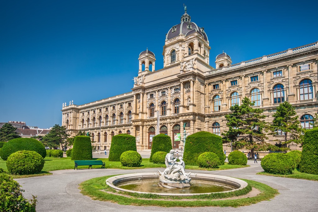
Most likely, however, your journey will begin and end in Vienna itself, from where you will go to one of these towns, from where you will continue on foot through the mountains. While in the city don't forget to visit the Museum of Natural History Vienna, the premier in its category, to learn even more about the region and the country as a whole.
The official tourist site of Vienna: Wien.info.