Scan the QR code and open PeakVisor on your phone
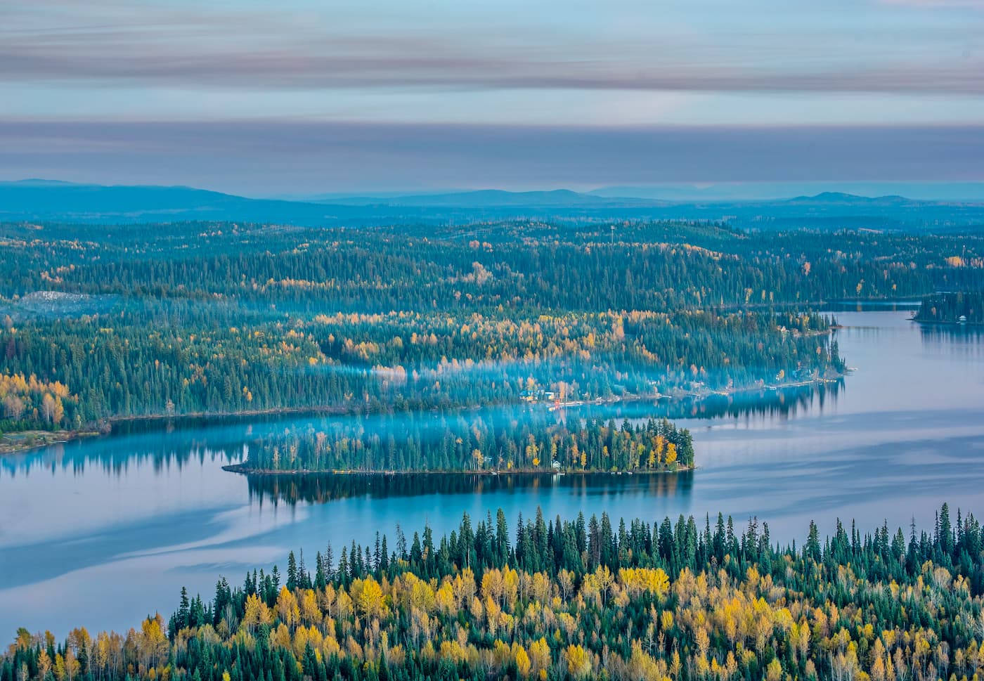
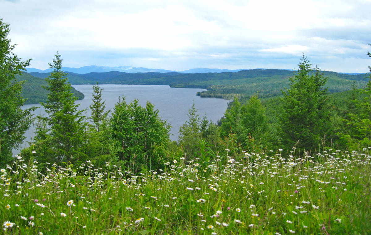
The Quesnel Highland is located in the northern interior region of the province of British Columbia in Canada. The highland spans 15,466 sq km and is defined as the area between the Cariboo Mountains, on the east, and the Cariboo Plateau, on the west. There are 130 named mountains in Quesnel Highland. The highest and the most prominent mountain is Mount Perseus at 2,529 meters.
The region's borders are defined by the Cariboo Mountains, Cariboo Plateau, Prince George to the north, and Mahood Lake to the south. Though the Quesnel Highland is defined as its own region, it is often talked about with the Shuswap Highland, south of Mahood Lake, and the Okanagan Highland, south of Shuswap Highland. The close proximity to both the Cariboo Mountains and Plateau, allow the Quesnel Highland to be a rich and abundant region full of a diverse amount of hiking. Nearby lies Bowron Lake Provincial Park, Cariboo Mountains Provincial Park, and Wells Gray Provincial Park.
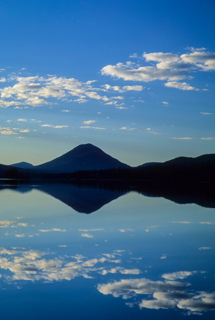
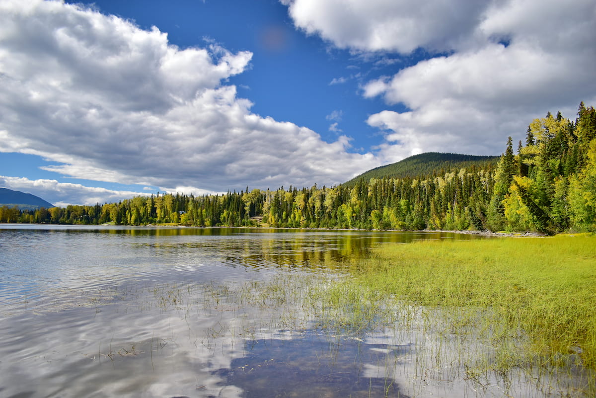
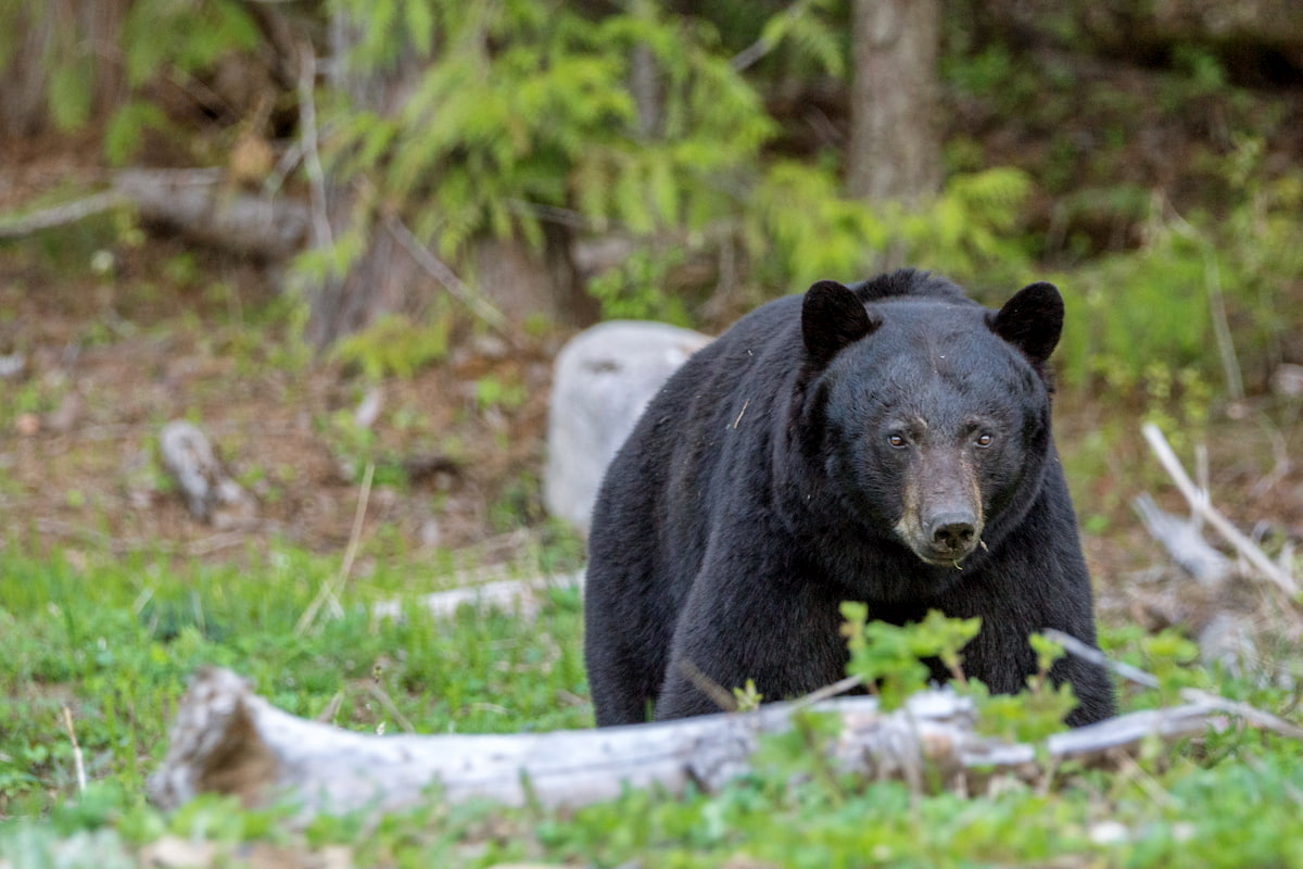
Cameron Ridge Trail: This 14 km round trip trail is located near Quesnel Lake in the Quesnel Highland. The trail winds through subalpine forest, meadows, and the lowlands of the Cariboo Mountains. At 3km in, hikers have an unobstructed view of the nearby Cariboo Mountains. From here hikers have spectacular views of Mitchell Lake, Mitchell River estuary, and Penfold Valley. There are three well marked and well-maintained trails that allow hikers to explore the nearby area. Note grizzly and black bear frequent the area so hikers should be prepared.
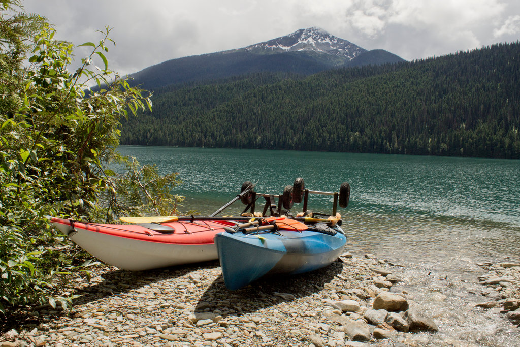
Bowron Lake Provincial Park: 100 km east of the city of Quesnel, lies Bowron Lake Provincial Park. Though the park does have a network of hiking trails, it is also known for its 116km recreational paddling circuit. This paddling route is known for being one of the best in the world. Some short hikes within the park include Harold Falls (1km), Cariboo Falls (3km), and Hunter Lake (2km).
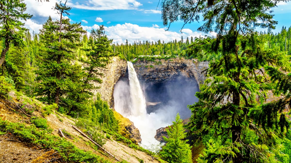
Wells Gray Provincial Park: Wells Gray Provincial Park is British Columbia’s fourth largest park, spanning 5,250 square kilometers. The park is full of a diverse range of landscapes, featuring calm mountain meadows, to rigid peaks and some of the tallest waterfalls in the province. Hikes include Helmcken Falls, Trophy Mountain, Spahtas Falls, and numerous others.
One of the nearest cities to the Quesnel Highlands is Quesnel. The city has a metropolitan area of just over 23,000, making it the largest city between Prince George to the north and Kamloops to the south. Before the town’s population grew due to the goldrush, the region was populated by the Souther Carrier people, stretching eastward to Bowron Lake. The city is known for its access to trails, hunting, fishing, and canoeing. The Rocky Mountaineer rail tour also passes through the city.

The city of Prince George is located at the northern end of the Quesnel Highlands. With a population of nearly 90,000, Prince George is the largest city located in northern British Columbia. The city is situated at the confluence of the Fraser and Nechako rivers near the transition of the northern and southern Rocky Mountain Trench. Within the city there are riverfront trails although the city is known for being close to four provincial parks. The parks offer an abundance of trails as well as skiing.