Scan the QR code and open PeakVisor on your phone
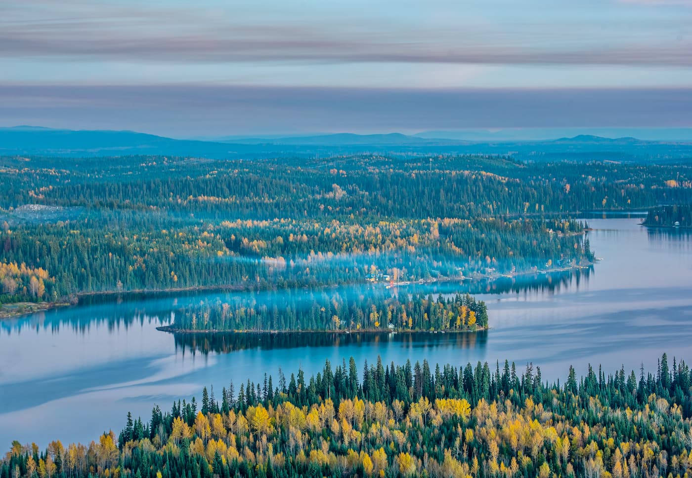
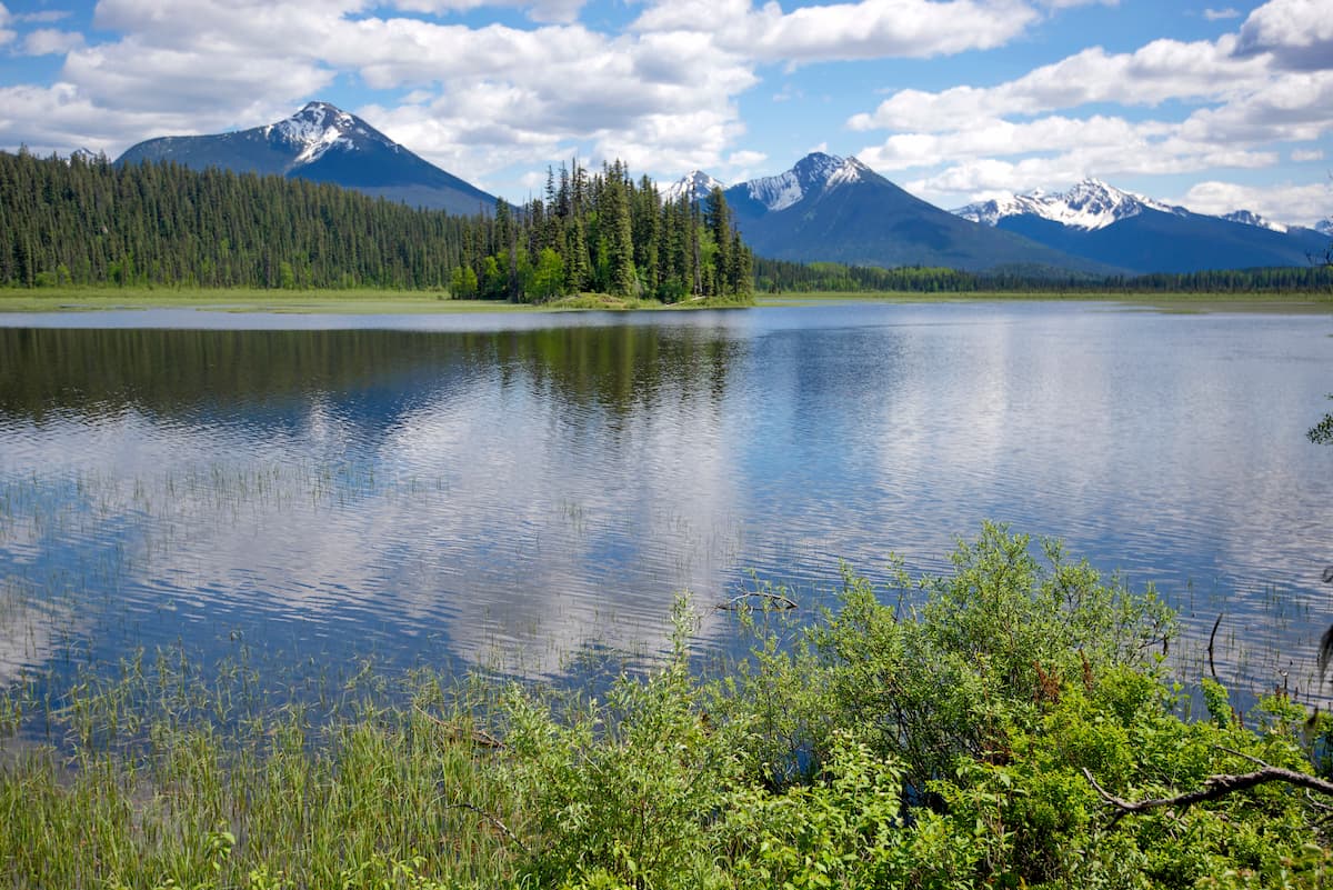
Bowron Lake Provincial Park is located in British Columbia, Canada within the Cariboo Mountains. The park is known for its abundant wildlife, freshwater lakes, and rugged mountains spanning 368,699 acres. There are 29 named mountains in Bowron Lake Provincial Park. Mount Amos Bowman is the highest point at 8,458 feet. The most prominent mountain is Needle Point Ridge. Within the park lies one of its major attractions, 72 miles of recreational paddling through the Cariboo Mountains. The canoe route connects many of the park’s major lakes through waterways and rivers and is well known throughout the world.
Much of the Bowron Lake Provincial Park was frequented by Aboriginal Canadians. Sadly, little work has been done to determine which specific tribes called this place home. During the 1860s the region had a large influx of Europeans due to the Cariboo gold rush. Bear Lake became known as Bowron Lake during the early 1900s to honor John Bowron, the Gold Commissioner for the region. In 1961 the Bowron Lakes Game Reserve was changed to the Bowron Lake Provincial Park.
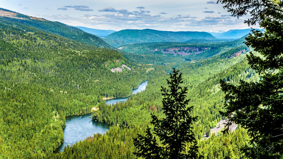
The Bowron Lake Provincial Park shares a border with Cariboo Mountains Provincial Park which also shares a border with the Wells Gray Provincial Park. Combined, the three parks protect an area spanning 2,490,000 acres. The park was originally established as a game reserve which has led to a diverse wildlife population. Today the region is frequented by moose, mountain goats, caribou, beaver, river otters, foxes, coyotes, and many more.
The main attraction in the park is paddling a canoe or kayak. The world-renowned paddling circuit often takes between 6-10 days to complete. Though paddling is the predominant activity done in the park, hiking is also another accessible activity. There is a drive-up campground to Bowron Lake Park and from there are a few short trails. These trails include Harold Falls, Cariboo Falls, and Hunter Lake.
The nearest city to the Bowron Lake Provincial Park is Quesnel. The city has a metropolitan area of just over 23,000, making it the largest city between Prince George to the north and Kamloops to the south. Before the town’s population grew due to the goldrush, the region was populated by the Souther Carrier people, stretching eastward to Bowron Lake. The city is known for its access to trails, hunting, fishing, and canoeing. The Rocky Mountaineer rail tour also passes through the city.

The city of Prince George is located 2.5 hours northwest of Bowron Lake Provincial Park. With a population of nearly 90,000, Prince George is the largest city located in northern British Columbia. The city is situated at the confluence of the Fraser and Nechako rivers near the transition of the northern and southern Rocky Mountain Trench. Within the city there are riverfront trails although the city is known for being close to four provincial parks. The parks offer an abundance of trails as well as skiing.