Scan the QR code and open PeakVisor on your phone
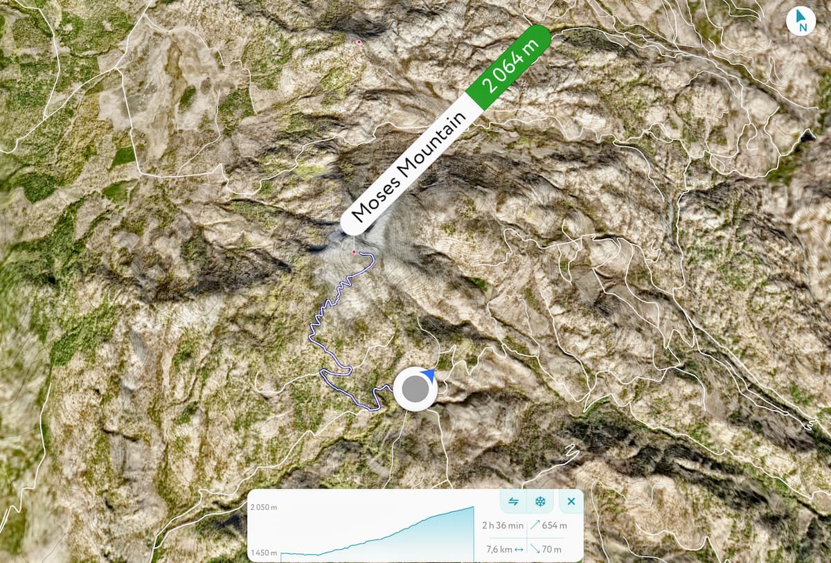
The Okanogan Highlands (spelled Okanagan in Canada) is an elevated hilly plateau that covers parts of British Columbia, Canada and the state of Washington. There are 125 named mountains in the Okanogan Highlands. Big White Mountain is the highest point located at the northeastern end. The most prominent mountain is Moses Mountain.
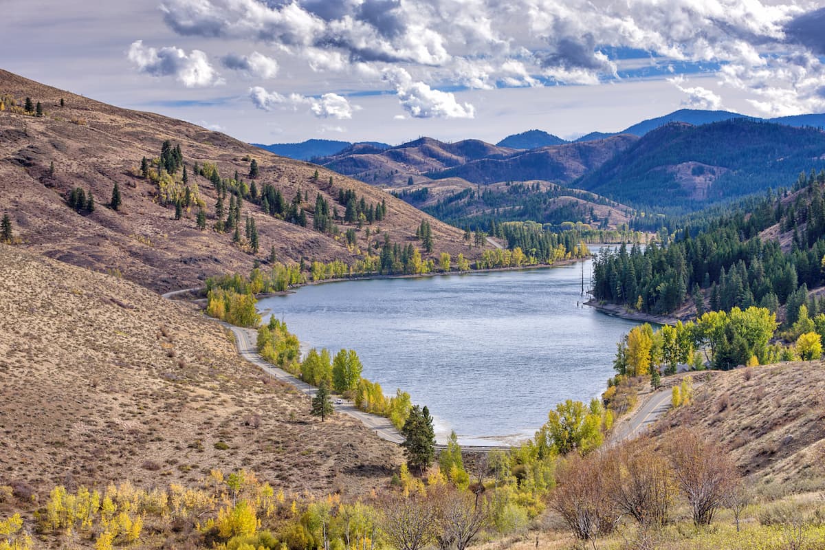
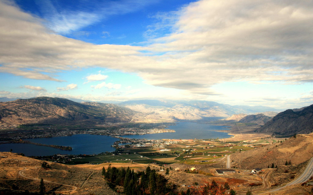
The mountains in the region reach an elevation of 8,000 feet and are characterized by their narrow valleys. The Okanogan Highlands start just east of the North Cascade Mountain Range and span eastward to the valley of the Kettle River. Other notable summits in the region include Little White Mountain, Mount Moore, Mount Baldy, and Mount Hull. The highlands are delineated by the Okanogan and Spokane River. The Columbia River spans from north to south and separates the region into east and west sections.
At 7.8 miles roundtrip, this hike starts out along an abandoned logging road and eventually leads to a ridge top ramble. Once you reach the clearing after the old logging road ends, you’ll be greeted with panoramic views of the Okanogan Highlands. If you’re feeling up to it, continue to follow the ridge going north for another mile to reach the summit of Bamber Mountain (4,986 feet).
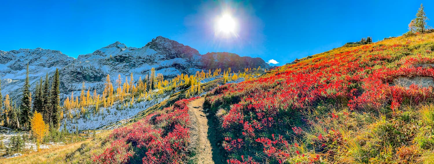
This 7.2-mile loop hike has 2,000 feet of elevation gain and breathtaking views along the way. The route features ridgeline pathways surrounded by wildflowers, alpine lakes, and the occasional early winter snow before the highway closes. From the higher points on the trail, you will have views of Black Peak and the North Cascades National Park. Park at either Lake Ann Trailhead or Rainy Lake Trailhead along Highway 20. The loop can be completed either clockwise or counter-clockwise.
Despite the name of the mountain, this out and back trail is 17 miles long (one way) with over 5,000 feet of elevation gain. For day hiking, many hikers go out for as long as they feel before turning around. The trail is part of the Pacific Northwest National Scenic Trail and offers nearly countless miles of views of the Okanogan Highlands. The trail is accessible by three different trailheads; Thirteenmile Trailhead, Bear Pot Trailhead, and Barnaby Buttes Trailhead.
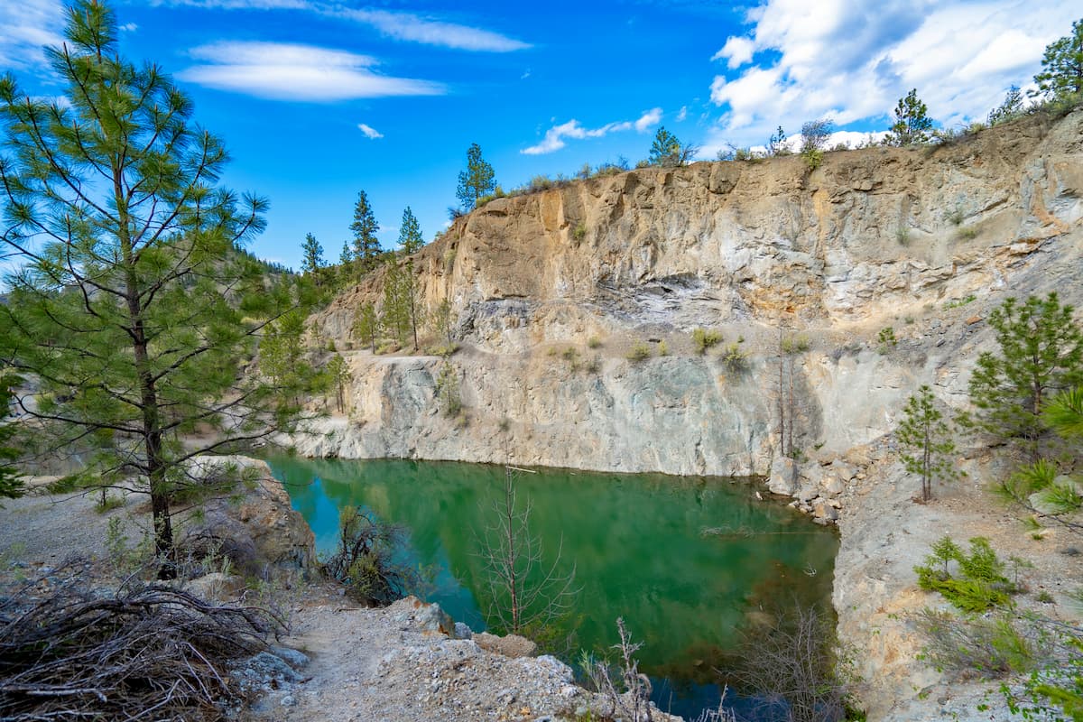
This 8.6-mile out and back trail boasts 2,542 feet of elevation gain that lead to a gorgeous alpine lake. Once you reach the top of the hike, you come to a cliff face that overlooks Crawford Lake down below. While the route is moderately trafficked, it is best done in late summer so that most of the snow has melted. To get to the trailhead, officials encourage hikers to have a 4x4 vehicle or be prepared to drive slowly along the mountain road.
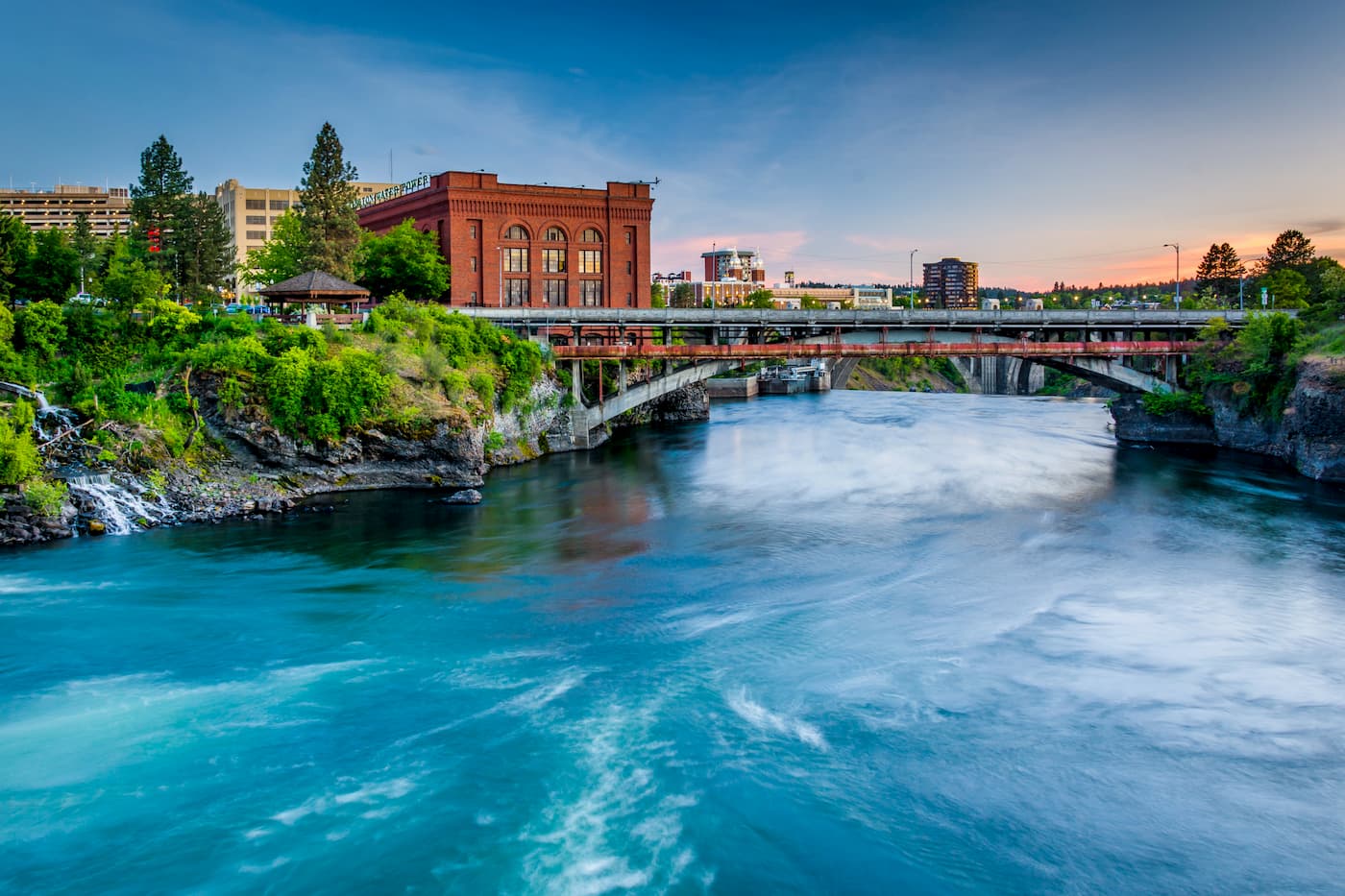
Located just southeast of the Okanogan Highlands, Spokane is the most populous city in eastern Washington. The Spokane river runs through the city while it sits 92 miles south of the Canada-U.S. border. With a population of 222,000, Spokane is the second largest city within the state of Washington. While most of the state’s population lives on the western side of the Cascade Mountain Range, Spokane is a hidden gem for any outdoor enthusiast. There are four ski resorts within two hours of downtown, while rock climbing, hiking, running, rafting, canoeing, and fishing are all accessible within minutes.
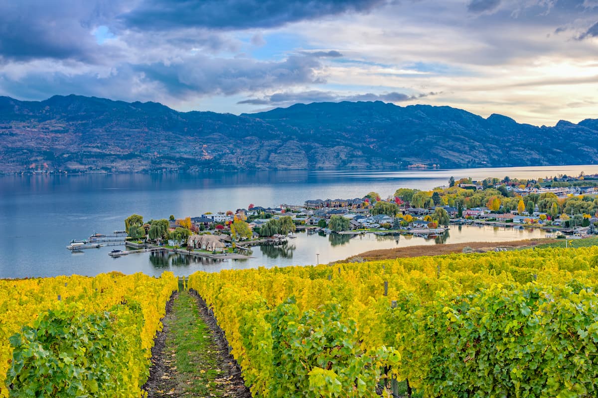
Located on Okanagan Lake within the Okanagan Valley of British Columbia, Kelowna is the seventh largest city within the province. The term Kelowna is derived from the Okanagan language term for grizzly bear. The city sits on the eastern shore of Okanagan Lake and is a notable stop within the wine country. During warmer months the town is full of water sports, hiking, biking, and running. Take a trip to Myra Canyon on the reclaimed Kettle Valley Railway. From there cycle through tunnels and along a steep canyon rock face.