Get PeakVisor App
Sign In
Search by GPS coordinates
- Latitude
- ° ' ''
- Longitude
- ° ' ''
- Units of Length

Yes
Cancel
❤ Wishlist ×
Choose
Delete
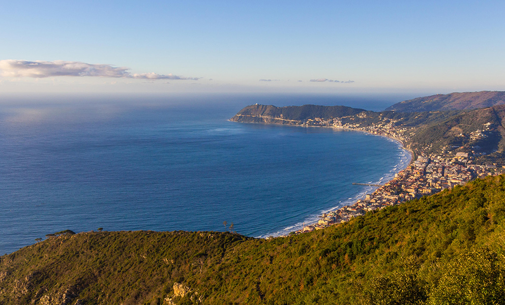
The Ligurian Alps are the southwesternmost part of the Alps. The range is located in northwestern Italy and in the southeasternmost corner of France. There are 1292 named mountains in the Ligurian Alps, the highest of which is Punta Marguareis (2,651 m/8,697 ft) at the boundary between Italy and France.
The Ligurian Alps are where the Alps and the Apennines meet. They are separated from the Apennines by the Colle di Cadibona mountain pass and from the Maritime Alps by both the Colle di Tenda mountain pass and the Vermenagna Valley.
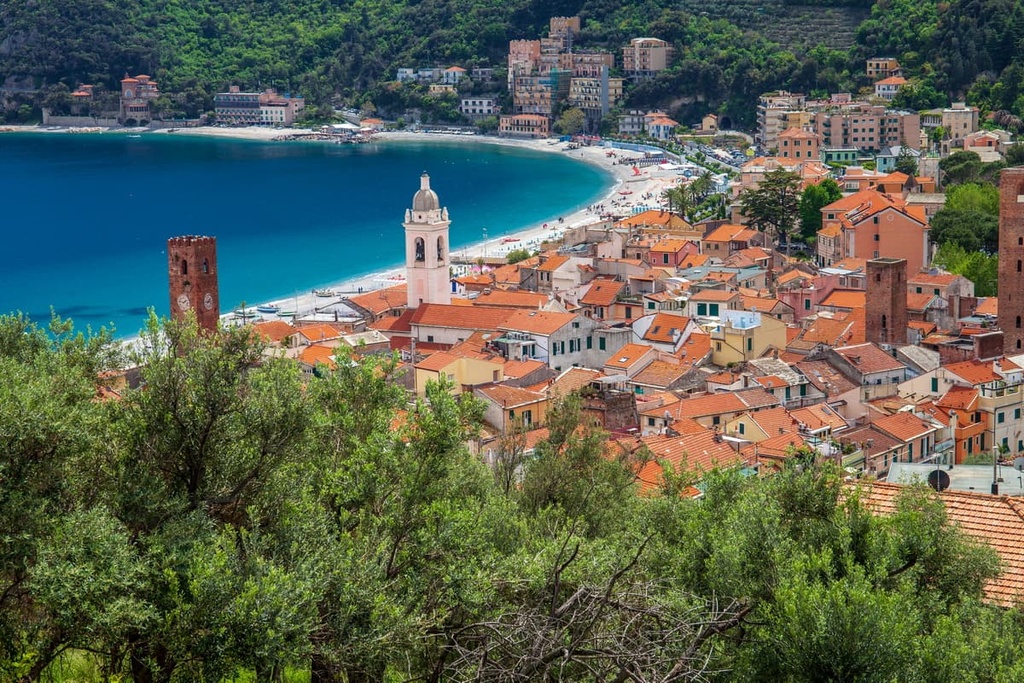
Despite their name, the Ligurian Alps are located not only in the Italian region of Liguria but also in the Italian region of Piedmont and a small part of France. The range spans the Italian districts of Cuneo, Imperia, Savona and crosses into a small part of the region of Provence-Alpes-Côte d'Azur in France.
The northern side of the Ligurian Alps consists of narrow valleys overlooking the plains, while the sunnier southern side is open and looks towards the sea. The Ligurian Alps are divided into the eastern pre-Alps, and the western Marguareis Alps, the latter of which contain the highest peaks of the range.
The Ligurian Alps are drained by the Tanaro River, the most significant right-side tributary of the Po river.
The Ligurian Alps are protected by two natural parks: Ligurian Alps Nature Park and Marguareis Nature Park.

Ligurian Alps Nature Park was established relatively recently in 2007 to protect the surrounding landscape, and it covers around 60 sq. km (23 sq. mi) of land. The park is located in the province of Imperia between the border of France and the Piedmont region. The park has an elevation range of up to 2,201 m (7,221 ft) at the top of Monte Saccarello.
Marguareis Nature Park was established in 1978 and covers 79 sq. km (49 sq. mi) of land, including parts of the municipalities of Chiusa Peso, Briga Alta, and Ormea.
The park is part of both the Ligurian Alps and the Maritime Alps, and is part of the Maritime Alps’ protected areas management body, along with the Maritime Alps Natural Park. There are 53 named mountains in Marguareis Nature Park, the highest of which is Punta Marguareis at 2,651 m (8,697 ft).

The Ligurian Alps were formed around 200 million years ago from the rock that was created at the bottom of an ancient ocean. What we see today emerged around 38 million years ago. It was then shaped and eroded by water over millions of years, resulting in impressive dolomitic and limestone walls, vast karst plateaus, hanging valleys, and imposing peaks.
The Marguareis massif, a limestone plateau protected by the Marguareis Nature Park, demonstrates glacial and karst forms. Due to the formation of the rock, there are many caves, tunnels, and wells underground. The biggest being the Piagga bella complex, an underground cavity of over 43 km (26 mi) and 1 km (0.6 mi) depth.
The Ligurian Alps Nature Park consists mostly of helminthic flyschs of the Maritime Alps, alternating with stratified sedimentary rocks such as marly limestone, shale, sandstone, dolomitic limestone. Here you can find surface karsts, sub-vertical walls (as seen at the Realdo and Loreto cliffs) and gorges.
The Ligurian Alps range is divided into the eastern pre-Alps and western Marguareis Alps.
The highest peak of the Ligurian pre-Alps is Monte Armetta (1,739 m/5,705 ft), which is located in Piedmont. The highest peak of the Marguareis Alps is Punta Marguareis (2,651 m/8,697 ft).
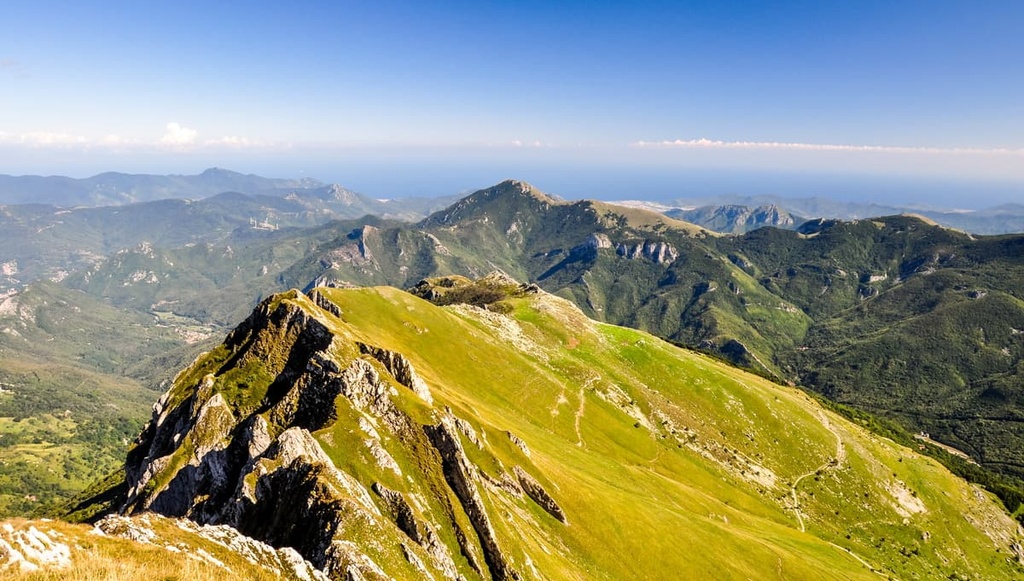
Meanwhile, Monte Saccarello (2,201 m/7,221 ft) is the highest peak in the region of Liguria. Another interesting peak is Monte Pietra Vecchia, which is the southernmost 2000 m (6,561 ft) mountain in the Alps.
The Marguareis Alps have more typical Alpine characteristics, higher peaks, and are characterized by long secondary ridges and wide valleys. The Ligurian pre-Alps, which are closer to the sea, have features that are more typical of other pre-Alps foothills.
Due to its proximity to the sea and high elevations, the Ligurian Alps are home to an interesting mix of ecosystems. Within just 1 kilometer (0.6 mi), you can go from olive groves to Alpine species due to the coexistence of mediterranean species at high elevations alongside glacial relics at low elevations.
The area around the Ligurian Alps is known as one of the botanical paradises of Europe due to its geographical position and climate. Throughout the area, you can find woods, grasslands, wetlands, arid areas, cliffs, and scree.
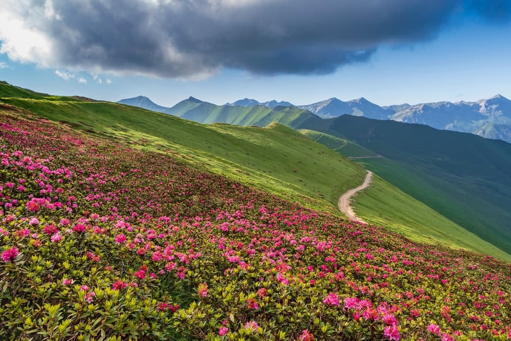
The flora of the Ligurian Alps can be best enjoyed in late spring and summer due to the beautiful blooms of many varieties of flowers. In the region, one of the most spectacular flower blooms is that of the rhododendrons on the slopes of Monte Saccarello.
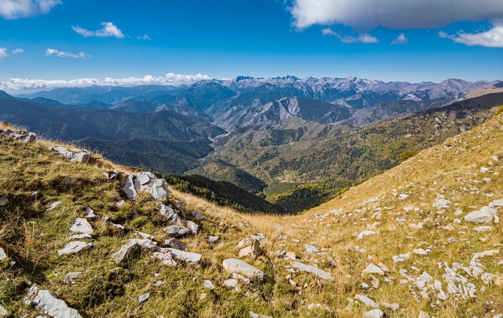
Almost 3,000 different plant species have been registered in this relatively small territory. This is due to a range of microclimates, soil variety, and the geological history of the area. In fact, the glacial and interglacial phases that the region experienced in the past few millennia caused a variety of moving flows of species over time, which were then able to adapt to different climates.
The base of the valleys are well covered in woodland, such as chestnuts, mixed hardwoods, and oak. A little higher up you can find beeches, conifer, silver fir, and larches.
There are also many endemic and protected species in the Ligurian Alps, such as the callus saxifrage, dusty primrose, Savona bellflower, and bow lily, among many more.
In terms of fauna, you can come across chamois, roe deer, marten, Alpine hare, ermin, and wolves in the range. There are also birds such as the golden eagle, eagle owl, ptarmigan, black grouse, and woodpecker.
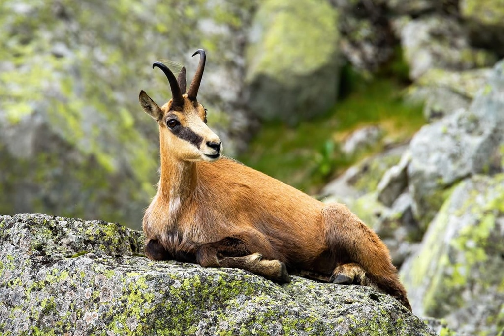
The human history of the Ligurian Alps can be traced back to prehistoric times. There are archeological sites in both Rezzo and Realdo.
Chestnuts have historically been an important part of the region’s economy. In fact, there’s also a dedicated chestnut museum in Montegrosso Pian Latte where you can learn all about the trade that drove the area’s economy for centuries.
The village of Triora is well-known in Europe for the witchcraft trial that took place there between 1587–89. The trial was conducted by the Court of Inquisition and resulted in the death sentences of around 200 women in the area. There’s a museum that recounts this trial, as well as several commemorative events throughout the year. The town itself is known in Italy as the “borgo delle streghe” (village of witches).
Other than witches, the area was also known for its stone-cutting industry during the fifteenth and sixteenth centuries when it was also largely inhabited by shepherds.
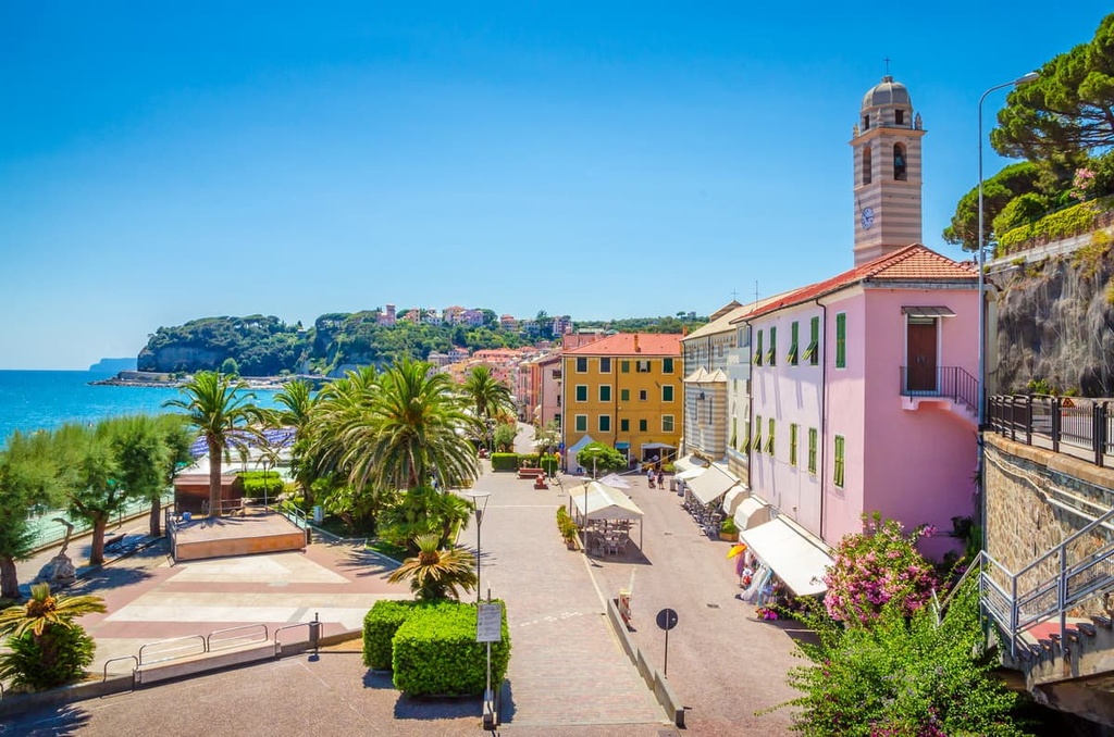
Nowadays, the Ligurian Alps are better known for outdoor activities such as canyoneering, summer and winter trekking, horseback riding, rock climbing, mountain biking, and skiing.
The Ligurian Alps are a popular hiking and trekking destination. Here are some of the best hikes in the range to check out during your next visit.
The Ligurian High Route (Alta Via dei Monti Liguri) begins in Ventimiglia and five legs (5-9) of the route pass through the Ligurian Alps from Sella d’Agnaria to Colle San Bartolomeo.
This first part of the high route is quite demanding as it leads to the highest point in Liguria, Monte Saccarello at 2,200 m (4,028 ft) in elevation. The walk offers breathtaking views across the mountains and out over the sea.
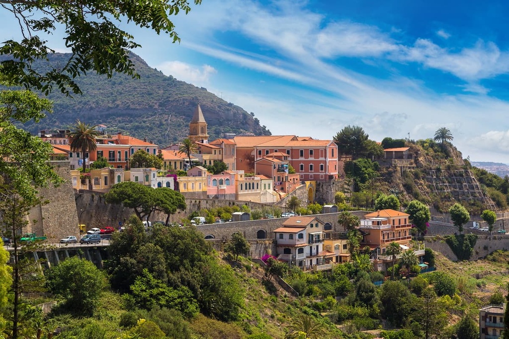
There’s a network of hiking paths within the Ligurian Alps Regional Park that’s well worth checking out if you’re in the area.
The Ligurian High Route is the main route in the park while the epic GTA (Grande Traversata delle Alpi) and via Alpina also cross through the region. There are also plenty of shorter hikes to enjoy within the park of varying difficulty.
Marguareis Nature Parks offers a good network of paths and is also home to many mountain huts, allowing for rests and good food along the way. The area is also popular for biking, snowshoeing, and ski touring.
An interesting route to follow in the Marguareis Nature Park is the Marguareis Tour (Giro di Marguareis), a 56 km (34 mi) route that’s broken down into five legs. It involves climbing your way through over 3,600 m (11,811 ft) of elevation gain.
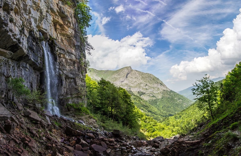
This circular route around Punta Marguareis typically takes five days to complete, and it starts and ends in Pian delle Gorre. There are five mountain huts to stay in along the route: rifugio Garelli, rifugio Mondovì de Giorgio, rifugio Mongioie, rifugio Don Barbera, and rifugio Pian delle Gorre.
The Ligurian Alps host a small number of ski resorts. Some of the most popular resorts in the region include:
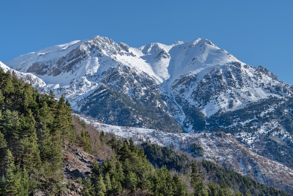
There are plenty of small villages and towns to enjoy and visit to get a sense of the Ligurian Alps. However, there are also some bigger cities to stay in nearby that enable you to enjoy both the mountains and the sea. Here are some of the best places to stay during your visit.
Savona is the gateway to the western riviera and pre-Alps. From Savona, you can access Liguria’s rock climbing meccas in Finale Ligure and Val Pennavaire, or hire a kayak or SUP and enjoy the calm mediterranean waters of Varigotti’s Saraceni Bay.
Savona itself has plenty of beaches to enjoy, as well as a harbor full of bars, seafood restaurants, and pizzerias.
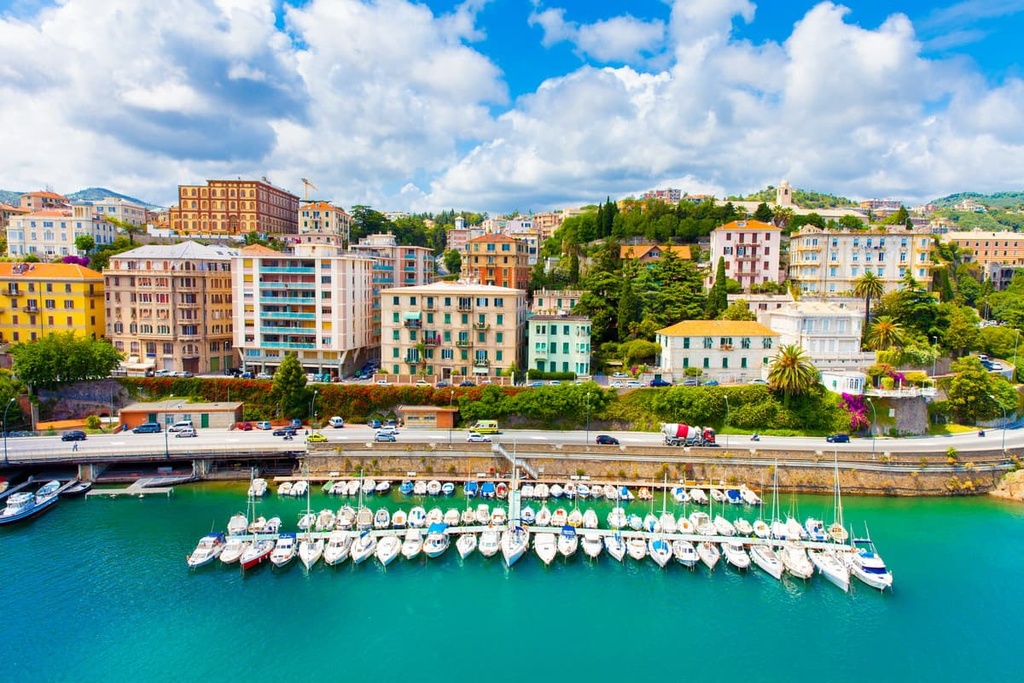
Imperia is a coastal city located in Liguria’s western riviera between the French border and Savona. It’s well known for its cultivation of flowers and olives, and it’s also a popular summer holiday destination. The city has two pretty ports and plenty of beaches to enjoy.
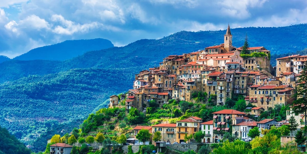
Cuneo is situated in the southern part of Piedmont, close to the French border. This historic town is enjoyable to wander around. It offers Renaissance-style architecture and plenty of religious monuments, churches, chapels, and historic sites. The real pull of Cuneo, however, is the surrounding nature to be found in the Ligurian and Maritime Alps.
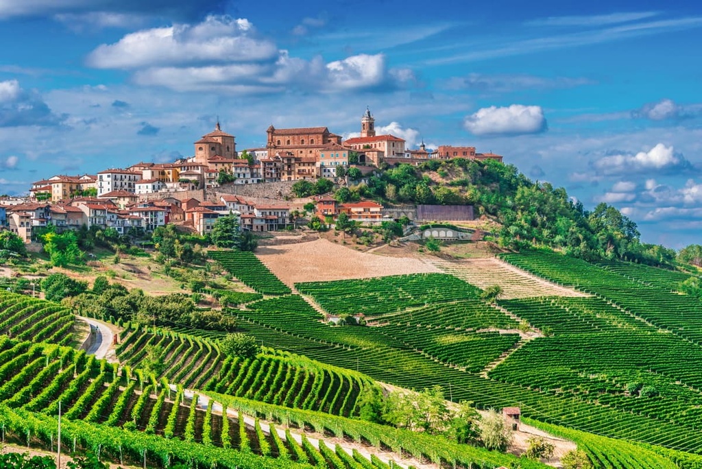
Explore Ligurian Alps with the PeakVisor 3D Map and identify its summits.

