Scan the QR code and open PeakVisor on your phone
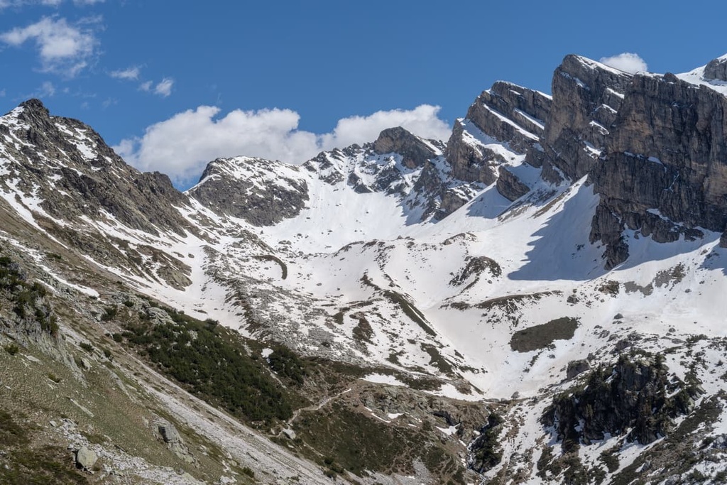
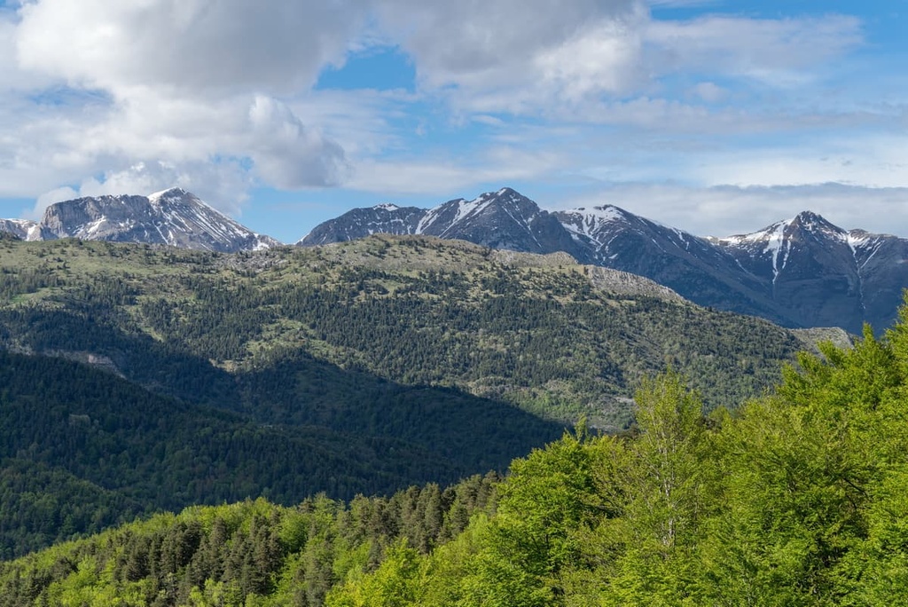
Nestled within the Ligurian Alps, the Marguareis Natural Park (Parco Naturale del Marguareis) is a small haven of outdoor recreation located in northern Italy. There are 55 named mountains in Marguareis Natural Park. The highest and the most prominent mountain in the park is Punta Marguareis at 2,651 m (8,697 ft).
Marguareis Natural Park was established in 1978 and is situated in the Italian region of Piedmont. It is located in the province of Cuneo and is situated close to the country’s border with France. The park is located within the Ligurian Alps between the plains of Piedmont and the western Italian riviera in Liguria.
Originally, Marguareis Natural Park was created in order to conserve the Marguareis massif. It was also created to protect the region for recreational, scientific, educational, and cultural use. The park spans 79 sq. km (49 sq. mi) and covers the municipalities of Chiusa Peso, Briga Alta, and Ormea.
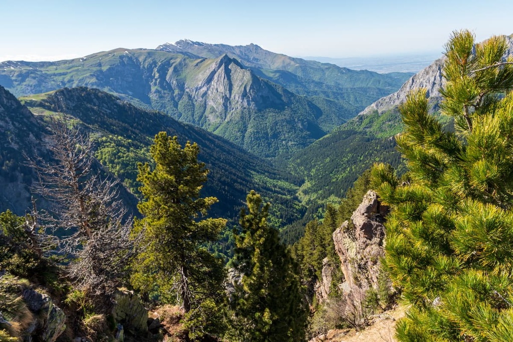
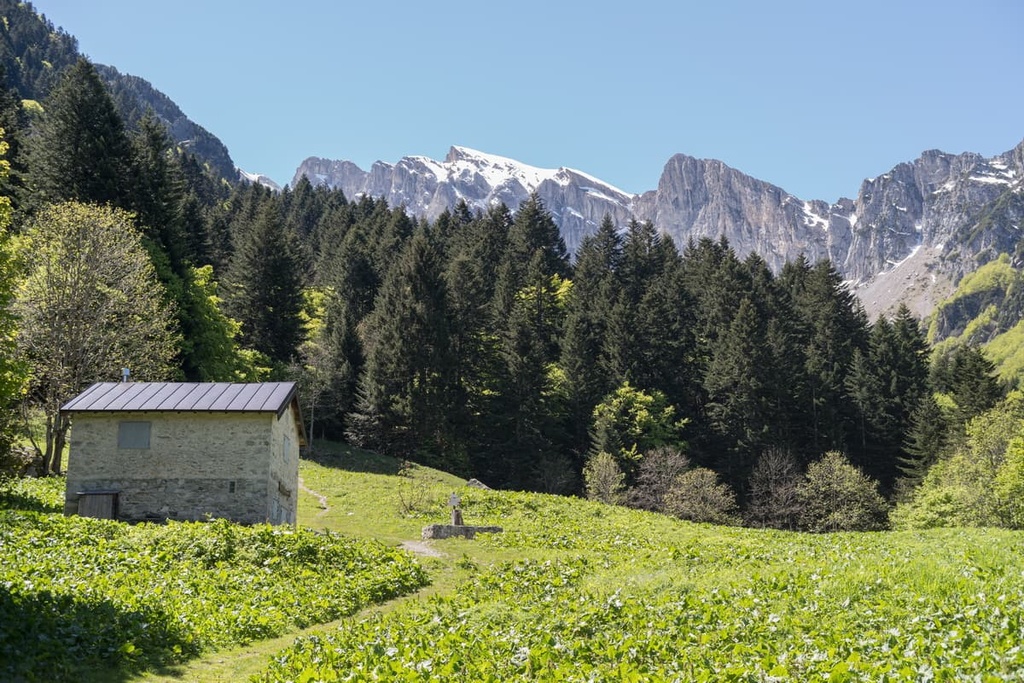
Marguareis Natural Park is located across two valleys: Valle Pesio and Valle Tanaro. Views from the highest peaks in the park let you see the peaks of the Alps, as well as out towards the Mediterranean Sea.
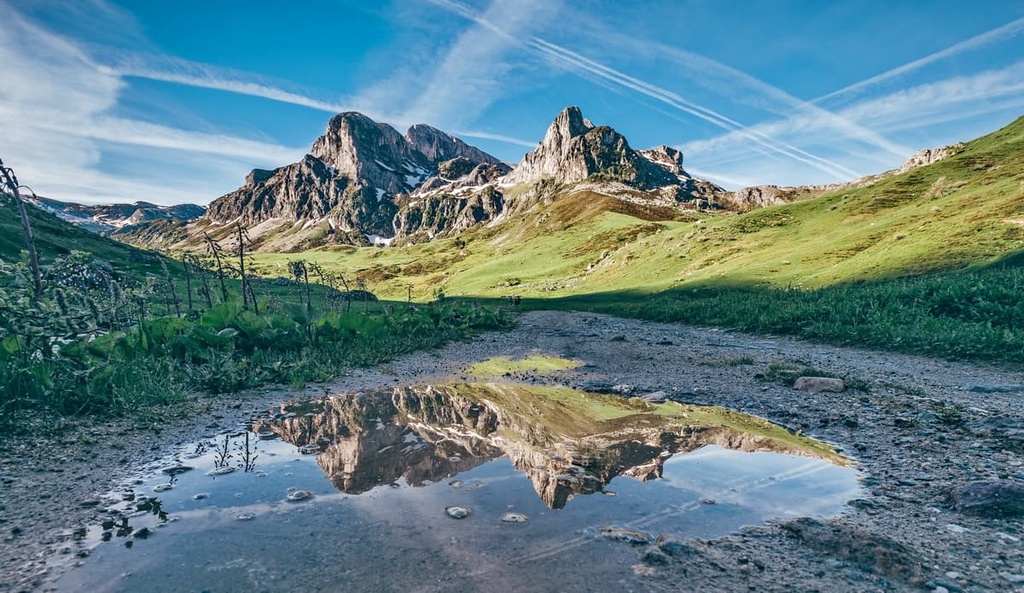
Known as the largest Alpine karst area in Piedmont, Marguareis Natural Park is home to the Marguareis massif, a 2,000 m (6,561 ft) limestone plateau that emerges from the landscape.
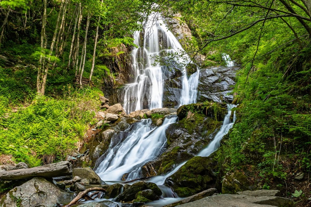
Marguareis Natural Park is also home to the highest peak in the Ligurian Alps: Punta Marguareis at 2,651 m (8,697 ft). It also contains 3 waterfalls that are active during the fall and spring, and 700 known caves.
The Ligurian Alps formed millions of years ago and are composed of sediments settled at the bottom of an ancient ocean, which existed around 200 million years ago. The plateau we see today has been shaped by glaciers and water over millions of years, resulting in one of the most interesting examples of high-altitude karst in Italy. The region also contains an underground labyrinth of tunnels and caves.
Marguareis massif is in fact extremely interesting from a speleological point of view. In fact, Marguareis Natural Park is home to two scientific speleological huts.
The Piaggiabella complex is the main underground cavity in the Marguareis massif. It features over 43 km (26 mi) of channels and a maximum depth of about 1 km (0.6 mi).
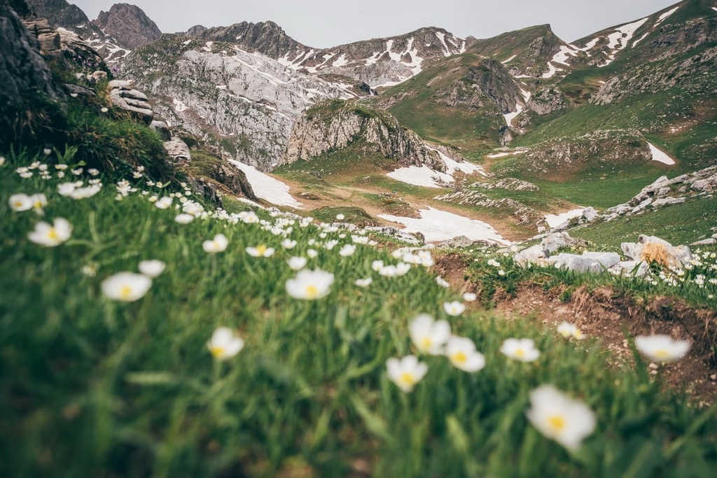
Known as one of Europe’s most beautiful botanical paradises, the Ligurian Alps and, particularly the protected area of the Marguareis Natural Park, have a lot to offer in terms of biodiversity.
This biodiversity is largely due to the park’s proximity to the Mediterranean Sea and its quick transition into Alpine territory. This transitioning terrain has resulted in an interesting mix of microclimates. It’s also due to the soil variety and orientation of the slopes. Within the park, hikers can find woods, grassland, wetlands, arid areas, cliffs and scree.
Within the Marguareis Natural Park, over 1,500 different plant species have been surveyed, along with 9 endemic botanical species that are typical to both the Ligurian Alps and Maritime Alps.
A lot of the protected area is covered by woodlands. At the bottom of the Pesio Valley, hikers can find a mix of chestnut woods, mixed broadleaf wood, and oaks. Further up the valley are over 6 sq. km (2.3 mi) of beech woodlands that are located in the park.
As elevation increases, there’s over 7 sq. km (2.7 sq. mi) of conifers including silver and red fir, stone pine, hook, and mountain pine. As well as 27.7 sq. km (10.7 sq. mi) of larch wood in the Bosco delle Navette, which were once used to build boats and ships on the nearby Ligurian coast.
There are also two botanical Alpine stations (Burnat-Bicknell and Danilo Re) within Marguareis Natural Park, which can both be found above the 2,000 m (6,561 ft) mark. These stations can only be reached by foot (around 2 to 3 hours) and are home to the most significant high-elevation species of the Ligurian and Maritime Alps.
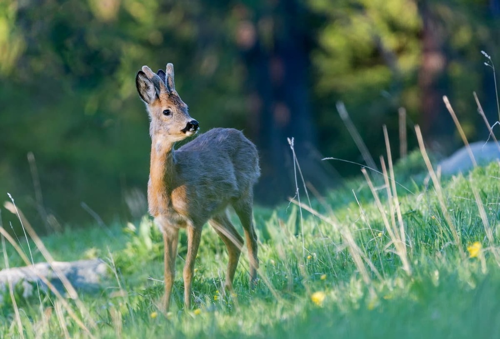
Along with interesting flora, the Marguareis Natural Park is also home to plenty of fauna. The park’s symbol is the roe deer, which can be spotted lower down the valleys. Hikers may also spot wild boars, red deer, ibex, chamois, marmots, ermin, and stone marten. In fact there are an estimated 700 animal species in the park! There are even wolves, with 3 wolf packs that call the territory home, however they’re very shy and much trickier to spot!
Looking toward the skies, keen birdwatchers can lookout for black woodpecker, eagle owl, dwarf owl, golden eagle, goshawk, and sparrow hawk. Other birds to keep a lookout for on the ground are the black grouse, ptarmigan, and rock partridge. There are a total of 201 bird species that have been observed in the park, with around 100 species that nest in the region.
The Marguareis Natural Park’s vast underground cave network also lends itself well to amphibians such as newts, which like to live in cave entrances and in humid cracks in the rock.
The valleys of the Marguareis Natural Park have been frequented by humans since prehistoric times. They have since been crossed by merchants, shepherds, soldiers, mountaineers, and even pilgrims.
Remnants of these travelers and traders can be found in the park in the form of shepherds pastures, religious buildings, alpine shelters, ancient routes for the salt trade, and archeological sites that give a peek into the lives of blacksmiths of the Bronze Age.
There is a prehistoric site in the Pesio Valley. Some of the most important archeological finds from the valley are the bronzes of Monte Cavanero, which date back about 3,000 years and can be seen today in the museum in Chiusa di Pesio.
Within the Marguareis Natural Park, there’s also a former Charterhouse, known as the Certosa di Santa Maria, which was founded in 1173.
The monks of the Charterhouse helped to build the local economy through wood management and agriculture. These monks also cleaned up the high pastures and provided them with shelters, fencing, and huts while also keeping the mule tracks in order. The Charterhouse is now used as a house of missionary spirituality and can be visited upon request.
Speleological exploration has long been associated with the Marguareis Natural Park, and was started by enthusiasts in the Marguareis massif at the end of the nineteenth century. The main exploration however began in the 1950s and people continue to visit the caves to this day.
Nowadays, the valleys of the park are concentrated on tourism, services, and trade. Forestry and chestnut cultivation remain an important part of the local economy.
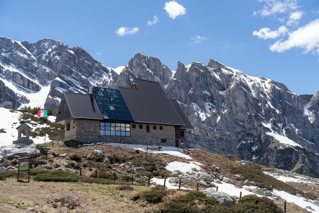
There’s an excellent network of paths in the Marguareis Natural Park, with several mountain huts to stay in along the way. Many of the paths are former salt roads (paths from the sea to bring salt from the Mediterranean to the Po valley).
There are plenty of day hikes, multi-day hikes, and epic routes that cross the park. Here are some of the best hikes to check out in the park during your next visit.
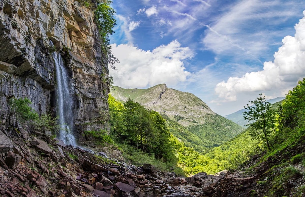
The Pis del Pesio Circular Route will take you to the trail’s beautiful namesake waterfall (cascata in Italian), which flows for just a few weeks each year during the spring.
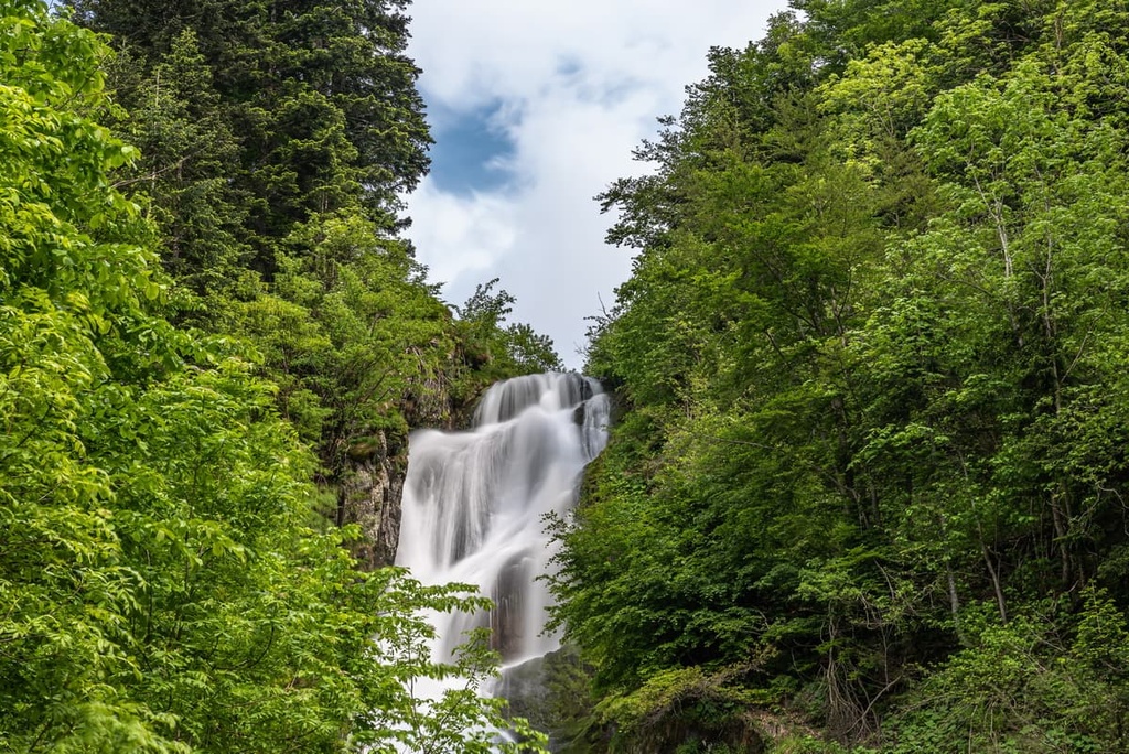
The water cascades down from a vertical wall when the underground cavities fill with water. When the snow and ice in these cavities begin to thaw in the spring, the water spills out of the rock to create the region’s famous waterfall.
The route begins and ends in Pian delle Gorre and passes by two other waterfalls: Cascata del Gias Fontana and Cascata del Saut. Hikers will also pass through beautiful beech and fir woodlands.
On the Viozene - Monte Mongioie Circular Route, hikers can walk through a mix of environments. This includes the woodlands around Viozene, the grasslands surrounding rifugio Mongioie, and even limestone rocky outcroppings during the ascent to the top of Monte Mongioie.
The Marguareis Tour (Giro di Marguareis) is a loop route that takes hikers around Punta Marguareis.
The route is broken down into five different legs and totals 56 km (34 mi), beginning and ending in Pian delle Gorre. Along the route hikers can stay in different mountain huts that are located strategically along the route: rifugio Pian delle Gorre, rifugio Garelli, rifugio Mondovì de Giorgio, rifugio Mongioie, and rifugio Don Barbera.
The Via Alpina is an epic hike across the Alps, starting in Trieste and ending in Monaco. The red route also passes through the Marguareis Natural Park at leg R150, from rifugio Garelli to rifugio Mongioie.
The GTA (Grande Traversata delle Alpi) , which translates as “Great Crossing of the Alps,” is a hiking trail that brings you across the whole Alpine arc of Piedmont. The trail is over 1,000 km (621 mi) long and it features 120 stopovers as you make your way from the Tanaro Valley to Lake Maggiore.
The first three stages of the GTA pass through the Marguareis Natural Park. They travel from Carnino to rifugio Mondovì de Giorgio and then onward to rifugio Mondovì de Giorgio, rifugio Garelli, rifugio Garelli, and Limonetto.
If it’s hiking you’re after in the Marguareis Natural Park, then you may want to make the most of the park by staying in the local mountain huts or surrounding villages. There are even dedicated StarsBOX huts at rifugio Mongioie, with a ceiling that opens up to see the stars and designed with the temporary shelters of the shepherds of the Ligurian Alps in mind.
However there are also bigger cities close by to enjoy the broader surrounding area. Here are some of the best places to stay during a short visit to the area.
Cuneo is located in the Ligurian Alps, close to the boundary with France in the southern part of the Italian region of Piedmont. Cuneo is best known for its impressive Piazza Galimbert, and it is home to many historic sites, architectural landmarks, and religious buildings.
Cuneo is also known for its local cheeses, chocolate, and internationally renowned wines. The city is also a great base for trips to the surrounding mountains.
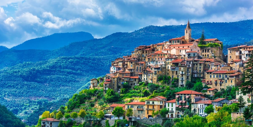
The district of Imperia is home to the Ligurian side of Ligurian Alps. The city itself is located on Liguria’s western riviera, close to the French border. Imperia formed around Port Maurizio and Oneglio, and it is traversed by its namesake Imperia River.
While in the city, you can enjoy strolling around the pretty Port Maurizio or you can learn about the cultivation of olives and flowers in Oneglio. If it’s beaches you’re after, then you’ll be spoilt for choice in Imperia and the surrounding coastline.