Get PeakVisor App
Sign In
Search by GPS coordinates
- Latitude
- ° ' ''
- Longitude
- ° ' ''
- Units of Length

Yes
Cancel
❤ Wishlist ×
Choose
Delete
The Geigenkamm Group is located in southern Austria and is part of the Ötztal Alps. One of the lesser visited mountain groups in the region, it offers excellent hiking and climbing and an extensive hut system that allows for multi-day adventures. Hohe Geige in Tyrol is the highest peak in the range at 3,394 m (11,135 ft), while Luibiskogel (3,110 m / 10,203 ft) has the greatest topographic prominence (480 m / 1,575 ft).
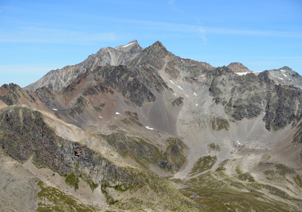
The Geigenkamm is a mountain group in southern Austria that makes up the eastern part of the Ötztal Alps, which are, in turn, part of the greater Eastern Rhaetian Alps. The group contains more than two dozen peaks over 3,000 m (9,843 ft); the tallest peak is Hohe Geige at 3,394 m (11,135 ft).
The mountains run north-south. They are bound by the Inntal Valley to the north, the main Ötztal Valley and Stubai Alps to the east, Weisskamm Ridge to the south, and the Pitztal Valley and Kaunergrat to the west.
The mountains are best known for hiking and climbing and, with less traffic than other parts of the Ötztal Alps, are great for those seeking solitude. With numerous huts, the range is perfect for multi-day trips. One highlight is the Mainzer Hohenweg, a high alpine trail that traverses much of the range’s ridgeline.
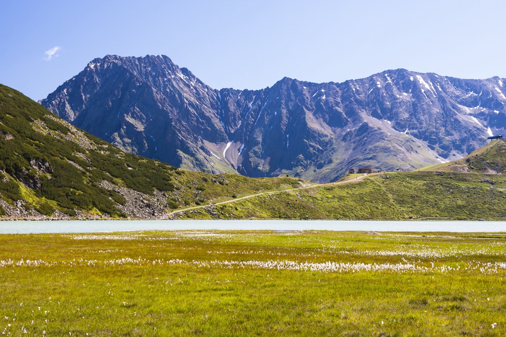
The Geigenkamm mountain group is part of the Ötztal Alps, the Eastern Rhaetian Alps, and, by extension, the European Alps.
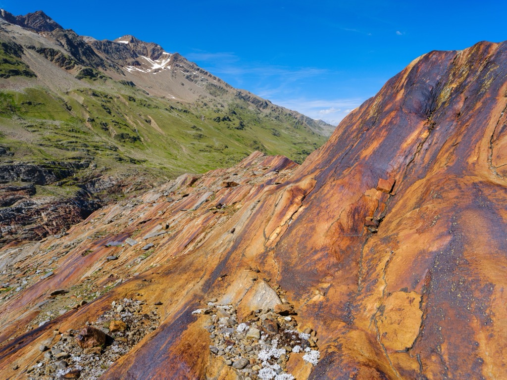
The Öztzal Nappe is the primary geologic feature in the Ötztal Alps, consisting of a thrust sheet of pre-Mesozoic gneiss and schist basement rocks overlaid by Mesozoic sediment. The range also contains a fair amount of limestone. The limestone, particularly in the range's northern sections, gives the peaks a similar appearance to the Italian dolomites.
The range has been shaped significantly by glaciers and ice sheets. Many lakes and carved-out valleys remain as a testament to these once-great glaciers of yesteryear.
The Alps formed during the Alpine Orogeny, a mountain-building event that occurred as the African and Eurasian plates collided and which has been ongoing since Cretaceous times. Most mountain building occurred between 65 and 2.5 million years ago, although the mountains continue to be uplifted. However, the uplift rate no longer outpaces erosion, and the Alps are not considered a growing range. Additionally, geologists have attributed the recent uplift to a rebounding effect as the Alps spring back after the weight of the last ice age’s ice sheet melts away.
Throughout the Ötztal Alps, common spruce grows abundantly in the montane zone, with silver fir and common beech appearing sporadically. Frost-resistant species like larch and Swiss pine grow well in the Ötz Valley.
Swiss pine also grows well in the sub-alpine, and dwarf-shrub heath thrives in the undergrowth. Other plants include blueberry and bilberry bushes, rusty-leaved alpenrose, and alpine clematis. In some areas, the alpine zone supports dwarf-shrub heath, rusty-leaved alpine rose, and Siberian juniper.

Marmots, red deer, roe deer, chamois, and ibex live in the forests and alpine zones. Birdlife includes golden eagles, bearded vultures, snow finches, spotted nutcrackers, white-throated dippers, capercaillies, and eagle owls. Several species of amphibians and reptiles are found here, including the alpine newt, the common frog, the dark brown common lizard, and the European viper.
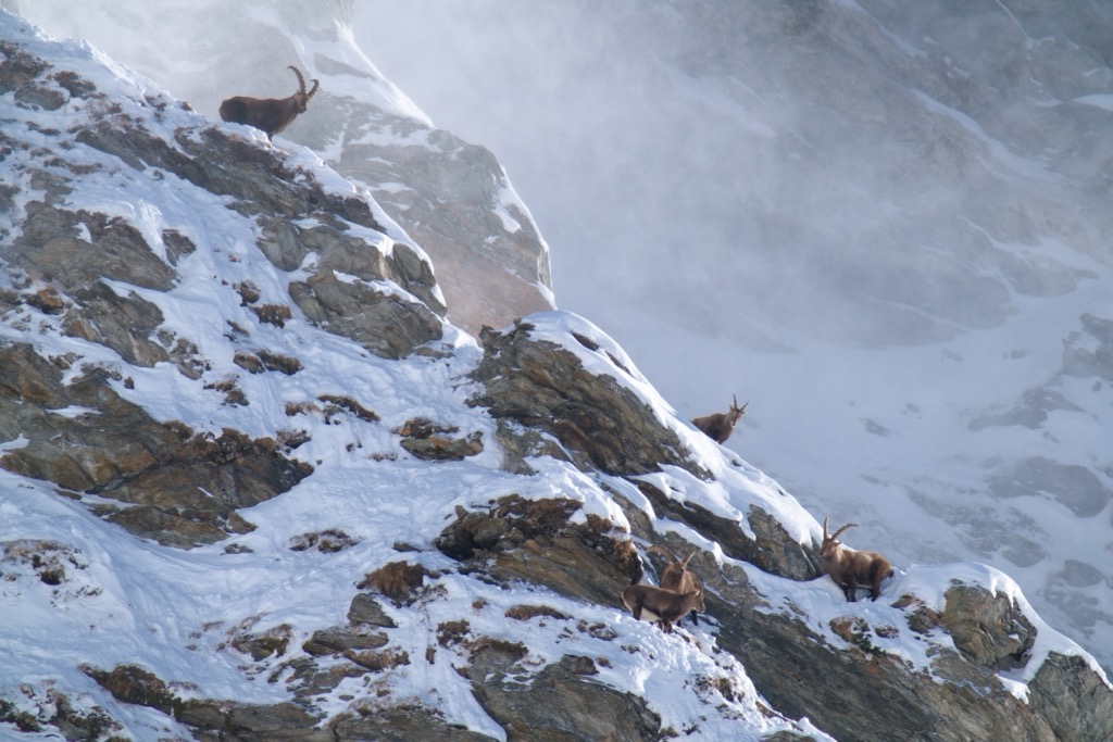
Due to hunting, ibex once disappeared locally from the range. From 1953 to 1957, ibex were imported to Tyrol. Initially placed in Kaunergrat and later in the Geigenkamm range, the mountains are home to a robust population today. You have a good chance of spotting some, especially around Rüsselsheimerhut.
The history of the Geigenkamm is intertwined with the history of Tyrol. The first organized tribes arrived around 10,000 BC or earlier. However, these tribes were replaced around 4,000 BC by groups who cultivated the land. The Iceman “Ötzi,” found in the Ötztal Alps and currently housed at the museum in Bolzano, lived more than 5,000 years ago and is the oldest natural mummy discovered in Europe.

The Romans did not consider Tyrol a vital region to settle but used the Passo del Brennero as a major traffic route. After the collapse of the Roman Empire, the Alps experienced a powerful wave of Christianity, to which the ubiquitous churches and chapels are testament.
Tyrol was part of the Habsburg Empire from 1814 to 1919 and divided into northern and southern sections at the close of World War I in 1919. Visitors interested in learning more about life over the past century can stop by the Försterhaus in Neustift. The old farmhouse exhibits cultural artifacts such as agricultural and hand tools that give a sense of past rural life.
Although skiing in the surrounding area is an option, the range is best known for its hiking, via ferratas, and climbing. A highlight is the alpine traverse Mainzer Hohenweg, as well as bagging the range’s tallest peak, Hohe Geige. It’s a scenic area for hiking, with views taking in lakes, alpine meadows, and the peaks and ridges of the surrounding Alps.
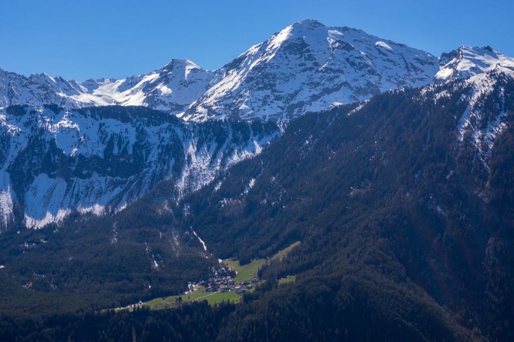
At PeakVisor, we love information. That’s why we write articles like this one.
For even more information on thousands of additional hikes across the Alps, check out the PeakVisor App. In fact, we’ve compiled information on all publicly maintained walking tracks across the world, formatted onto our 3D maps. Surrounded by some of the most popular areas in the Austrian Alps, the Geigenkamm Group is at the heart of one of our most thoroughly mapped regions.
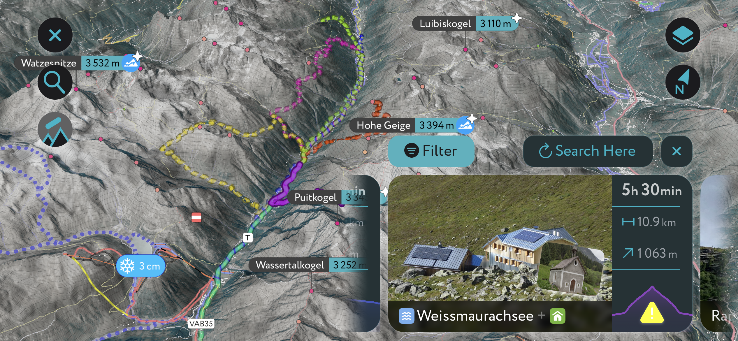
PeakVisor started as a peak identification tool, but we’ve evolved into purveyors of the finest 3D maps available. We continue to expand our offerings. You can track your hikes directly on the app, upload pictures for other users, and keep a diary of all your outdoor adventures.
Most recently, the PeakVisor App has included up-to-date weather reports, including snow depths, at any destination. Plus, we've been hard at work adding the details of hundreds of mountain huts, including information on overnight accommodation, dining options, and opening hours. You can also use our Hiking Map on your desktop to create .GPX files for routes to follow later on the app.
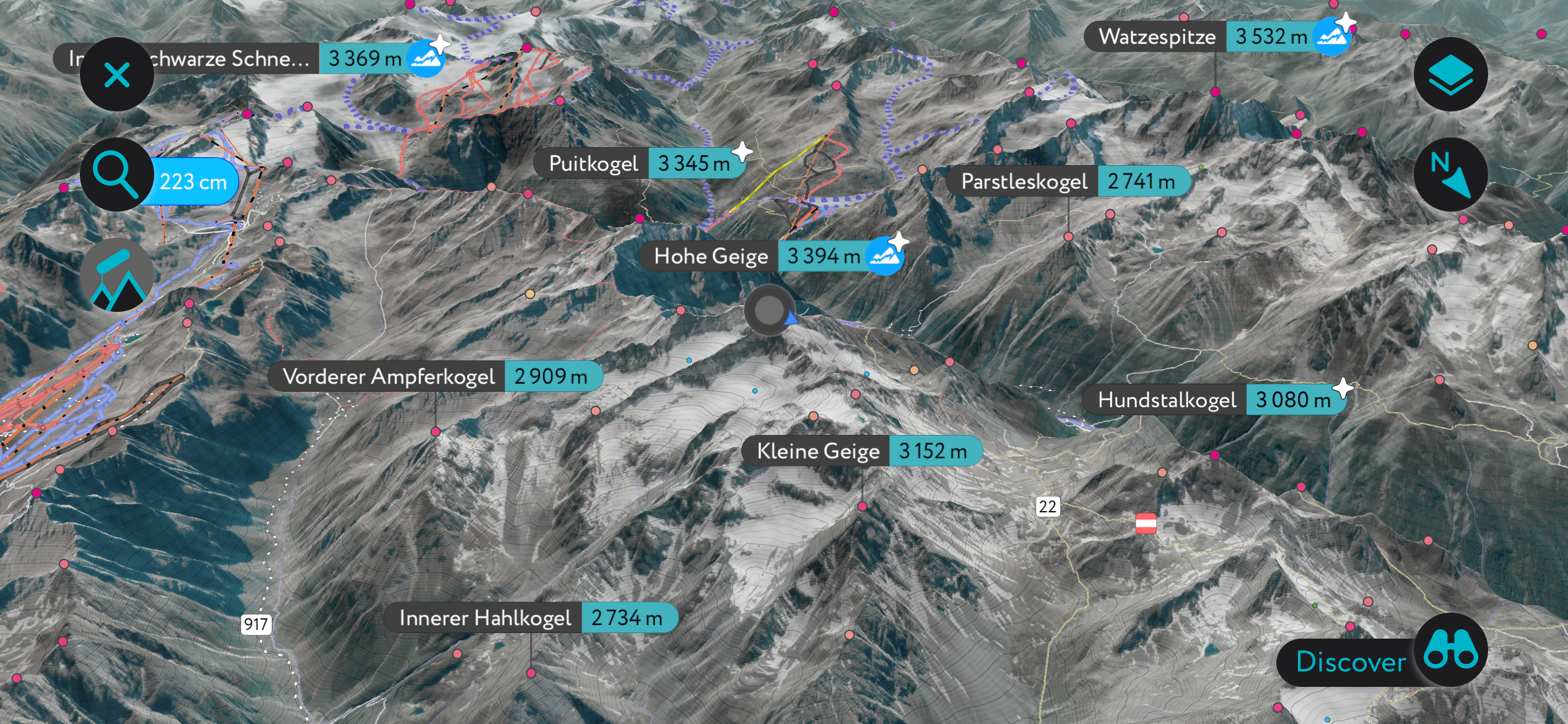
The Mainzer Höhenweg is a well-known alpine route that crosses between Braunschweiger Hutte and Rüsselsheimer Hütte. Along the way, the route summits Wassertalkogel, Gschrappkogel, Wildes Mannle, and a few other high points without names that are over 3,000 m (9,843 ft).
The trail is 9 km (5.5 mi) with around 1,200 m (3,935 ft) of ascent and 800 m (2,625 ft) of descent. In the case of inclement weather, there is an emergency shelter at Wassertalkogel.
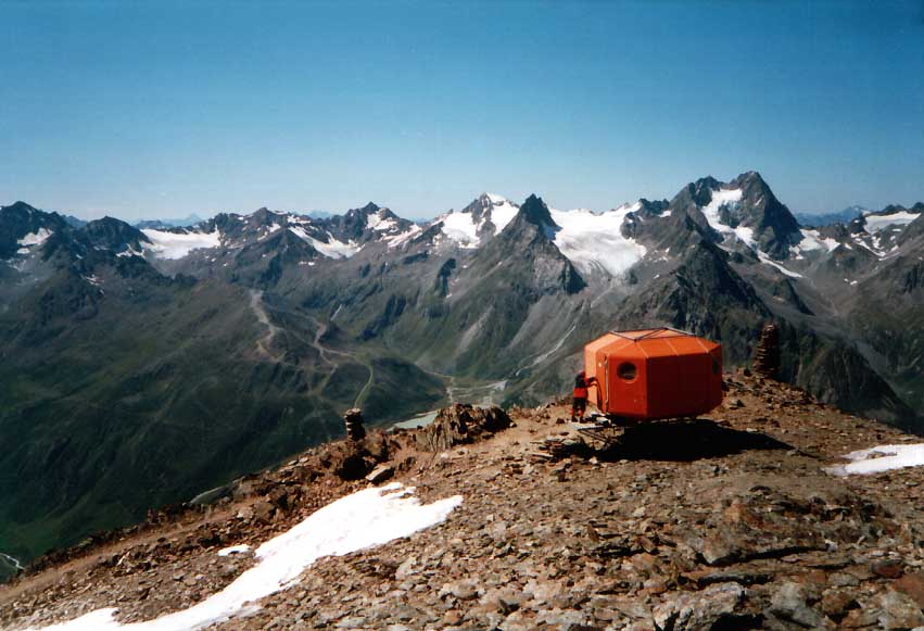
The normal route up Hohe Geige is rated F+/T4 – recommending hikers have strong orienting skills as the path may be hard to follow in the event of fog and snow. That said, it is one of the more accessible 3,000 m (9,843 ft) mountains to summit in the area and does not require a rope or crampons.
You will likely have company in the summer, but only a little compared to other popular hiking destinations in the Alps. The route can be accessed via Rüsselsheimer Hut. The hut was previously named Chemnitzer Hut, and it may be referenced that way on old maps.
In the northern Geigenkamm is the moderately challenging tour to Fundusfeiler. It is 12.4 km (7.7 mi) with 1,285 m (4,215 ft) of elevation gain and sweeping views of the surrounding Ötztal and Stubai Alps.
The route begins at the Ludwigsburger Hütte. From there, it passes the Lehnerjoch through alpine meadows and dwarf shrubs. It then continues up through a scree cirque to the Feilerscharte and over an easy ridge to summit Fundusfeiler. When you return to Ludwigsburger Hütte, you can wrap up the day with a hot meal and refreshments.
Pitztal Valley to the west has several main villages – Jerzens, Zaunhof, St Leonhard im Pitztal, Bodele, Kofels, Tieflehn, and Mittelberg. The main villages in the Ötztal Valley to the east are Sautens, Oetz, Umhausen, Langenfeld, Huben, Solden, and Zwieselstein. Innsbruck is a larger city with an international airport within two hours of driving time.
The village of Oetz, population 2,500, is located at the start of the Ötztal Valley near the towering Acherkogel. The area offers hikes ranging from easy to advanced, day trips to multi-day tours. You’ll also find a variety of mountain biking trails ranging from the easy Oetz to Imst section of the Bike Trail Tirol to the challenging, two-day Ötztal Trail to Langtalereckhütte route.
In winter, the Oetz Ski Resort is perfect for families. Spread across the slopes of the Acherkogel and Roßkopf mountains, the resort offers trails, as well as an adventure slope, a fun park, and a restaurant created with kids in mind.
The Oetz Tower Museum contains artifacts collected by Hans Jäger, an avid collector and gallery owner. Items include not only sculptures and images, particularly of alpine landscapes, but also furniture, historical documents, and folk art.
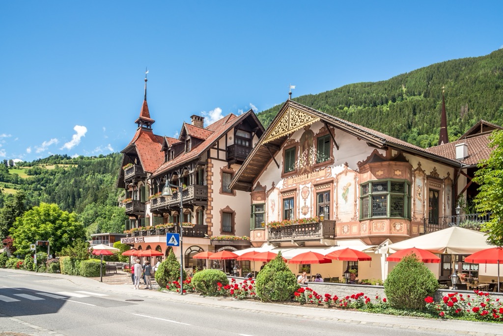
St. Leonhard im Pitztal lies at the far end of the Pitztal Valley. It is one of Austria’s largest municipalities and home to the highest mountain in North Tirol – Wildspitze. There is plenty to do whether you visit in winter or summer.
St. Leonhard is close to the Pitztal Glacier and Rifflsee Resort, with pistes reaching up to 3,440 m (11,286 ft). Cable cars make it quick and easy to reach the upper slopes, where you can enjoy routes for all abilities, restaurants with a view, and an up-close experience on the glacier. There are also plenty of cross-country skiing options around the village.
In summer, you will have your pick of day hikes and multi-day routes into the surrounding mountains. The Mattagskogel and Wildspitze mountains wrap around Stillebach Lake – a peaceful lake for swimming with a cafe on the shore. You can visit the Alpine Ibex Center if you’re interested in local history and ecology. The exhibition delves into these native animals and their arc in the region, from being hunted to extirpation to their successful reintroduction.
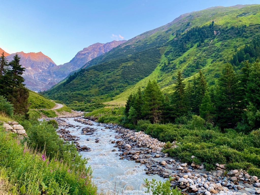
Located only 1.5 hours drive away and with a population of over 310,000 people, Innsbruck is an excellent destination for culture, nature, and proximity to mountain sports. It is the second-largest city in the Alps, after Grenoble, France, but arguably offers better mountain access. The city lies in a valley with steep mountains rising steeply around it; cable cars like the Nordkette and Patscherkofel provide quick access to the slopes for hiking, skiing, mountain biking, and paragliding.
Visitors can stroll through Old Town or pay a few Euros to climb the Town Tower. The Hofkirche church has 28 bronze statues, while the Cathedral of St. James shows off Baroque architecture. The Schloss fortress, a medieval fortress turned Renaissance castle for Archduke Ferdinand II’s wife, displays armor and artwork. Innsbruck hosted the Winter Olympics in 1964 and 1976 and the 1984 and ‘88 Winter Paralympics; the stadiums still host sports events.
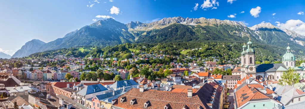
Purchasing an Innsbruck Card is a worthwhile investment if you want to go to multiple museums, ride some cable cars, and have free transport on buses, trams, and bikes. The passes can be purchased for 24, 48, or 72 hours.
Innsbruck is within a 30-minute drive from both Italy and Germany. It is possible to arrive by train from Venice, Munich, Salzburg, and Zurich. The city also has a small but busy international airport and is a launching point for the famous Tyrolean ski resorts.
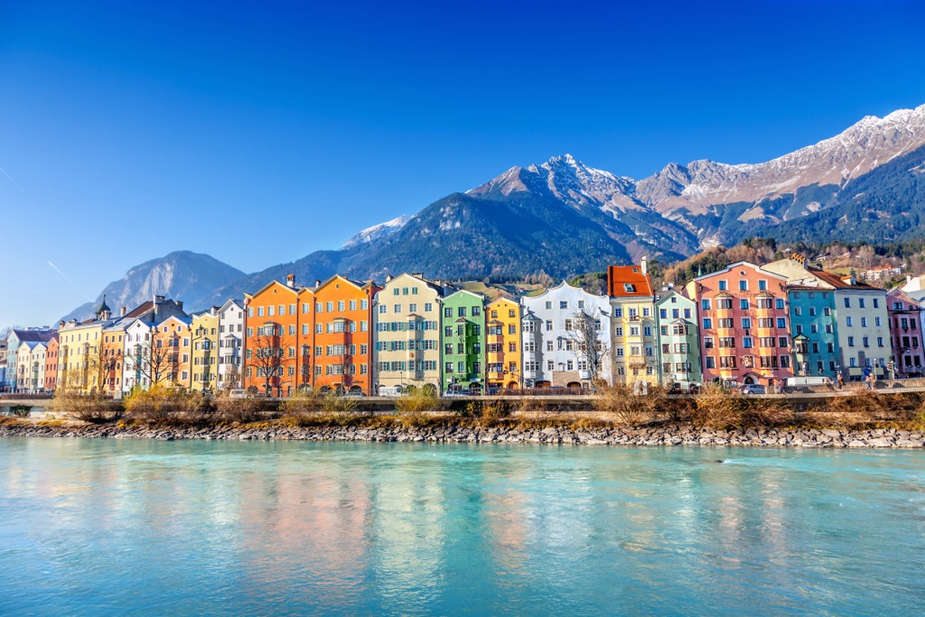
Explore Geigenkamm with the PeakVisor 3D Map and identify its summits.


