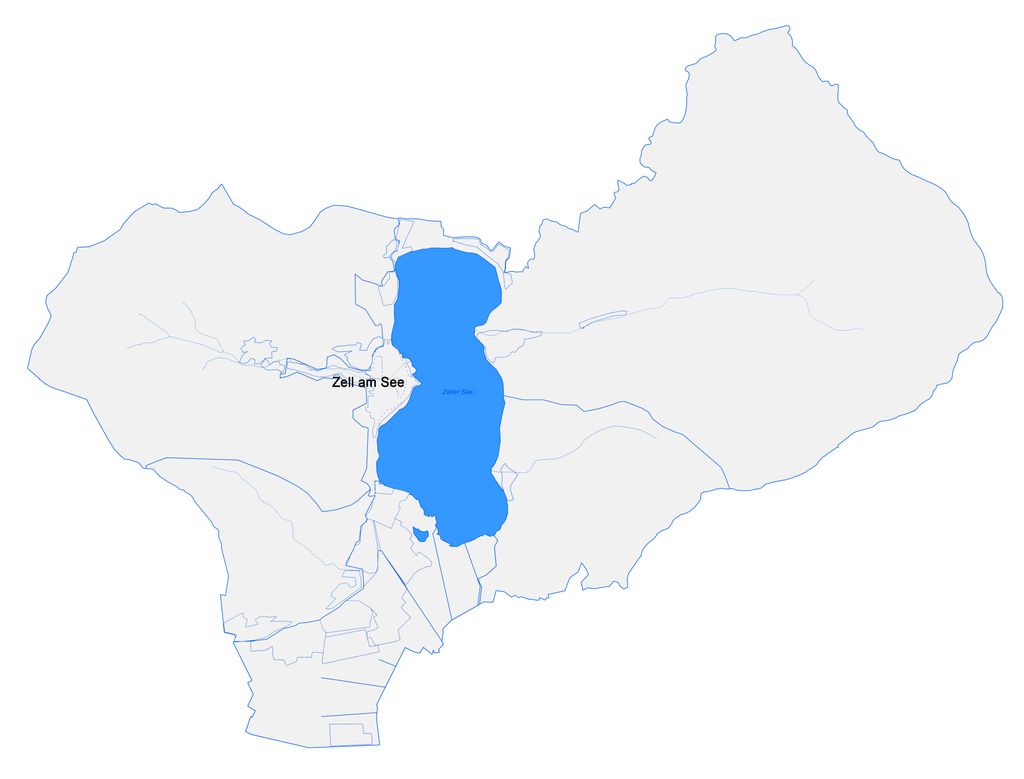
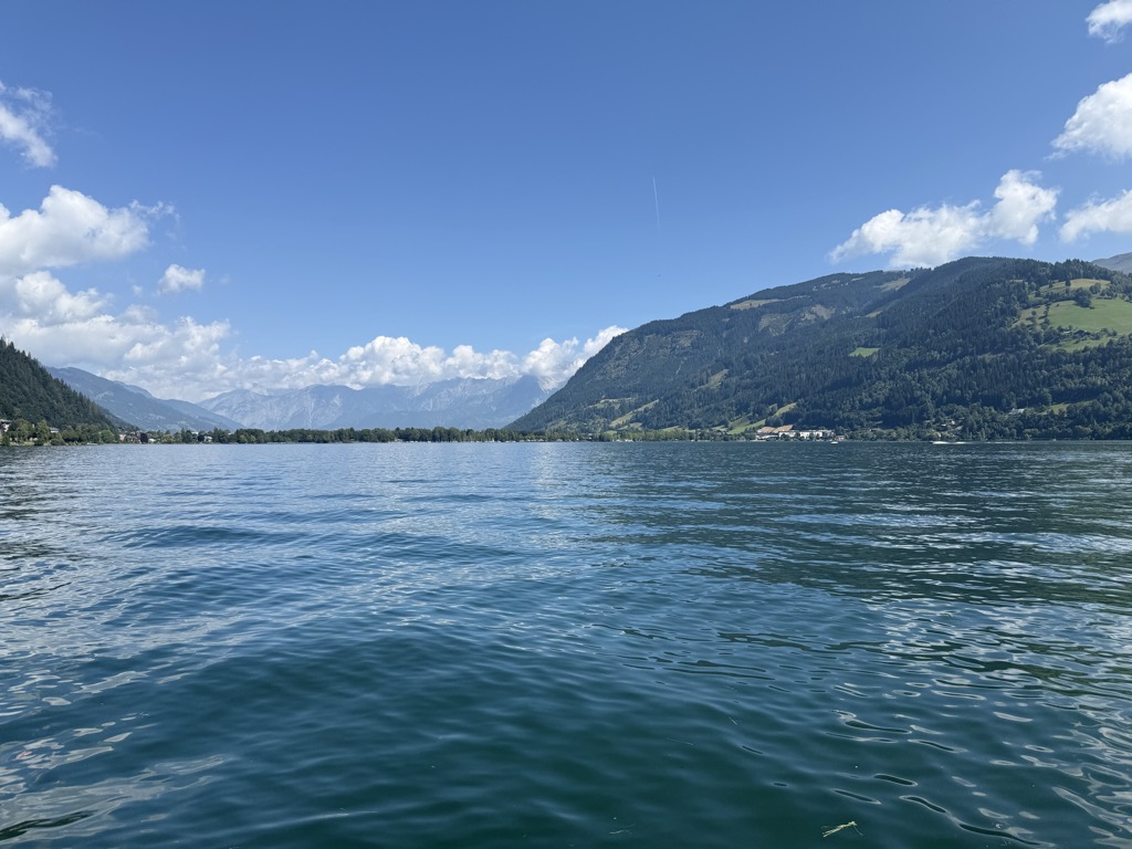
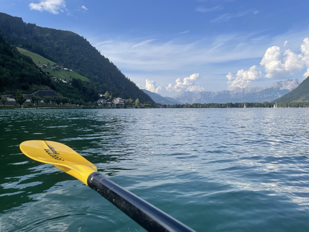
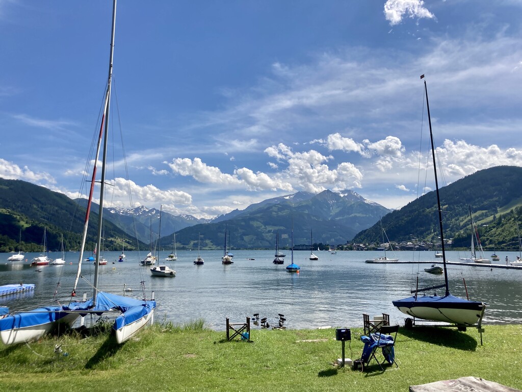
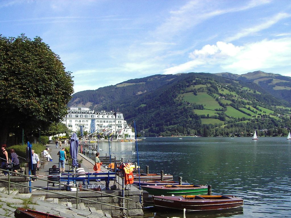
Lake Zell (German: Zeller See; Italian: Lago di Zell) is a small freshwater lake in the Austrian Alps. It takes its name from the city of Zell am See, which is located on a small delta protruding into the lake. The lake is 4 kilometres (2.5 mi) long and 1.5 kilometres (0.93 mi) across at its widest. It is up to 73 metres deep and at an elevation of 750 metres above sea level. The lake is fed by numerous small mountain streams in summer, but only one stream flows out of it into the Salzach. In winter the lake completely freezes and is used for winter sports. In summer the lake is used for pleasure boating (boats powered by combustion engines are not allowed except for the ferries that cross the width of the lake from Zell to Thumersbach, so electrically powered boats can be rented instead). The water is very clear and suitable for swimming or diving, but can be chilly. The southern end of the lake, near Schüttdorf, is shallower and mostly filled with water weed, making it unsuitable for boating or swimming. The "Alpine Lake" can be seen from nearby ski trails.
We use GPS information embedded into the photo when it is available.
3D mountains overlay
Adjust mountain panorama to perfectly match your photos because recorded by camera photo position might be imprecise.
Move tool
Rotate tool
Zoom
More customization
Choose which peak labels should make into the final photo and what photo title should be.
Next
Photo Location
Satellitte
Flat map
Relief map
Latitude
Longitude
Altitude
OR
Latitude
°'''
Longitude
°'''
Apply
Register Peak
Peak Name
Latitude
Longitude
Altitude
Register
Teleport
PeakVisor
This 3D model of Sagarmatha National Park in Nepal was made using the PeakVisor app topographic data. The mobile app features higher precision models worldwide, more topographic details, and works offline. Download PeakVisor maps today.
Download OBJ model
PeakVisor
The download should start shortly. If you find it useful please consider supporting the PeakVisor app.
PeakVisor for iOS and Android
Be a superhero of outdoor navigation with state-of-the-art 3D maps and mountain identification in the palm of your hand!


.jpg)