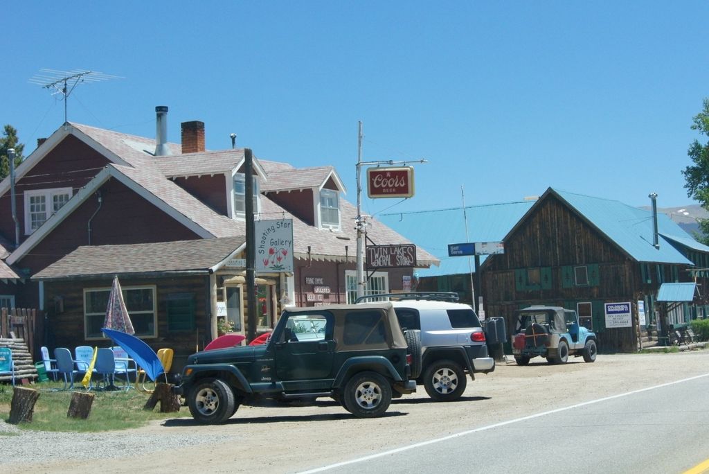
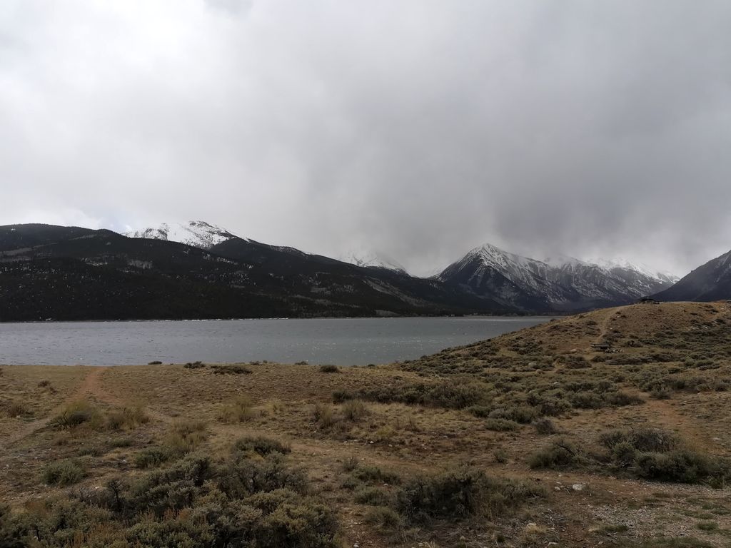
Twin Lakes is a pair of glacier-carved alpine lakes about 15 miles (24 km) south of historic Leadville, Colorado. They are downstream along the Arkansas River, whose headwaters are by Leadville. The lakes, however, are on a tributary, Lake Creek, which joins the Arkansas just below the lakes. After dredging, the lakes now have a surface area of 2,700 acres (11 km2), and they serve as a reservoir to store water for use in the Front Range. Both east and west lakes are recreation areas for boating and fishing. Twin Lakes is also the name of an adjacent census-designated place (CDP) and a post office in and governed by Lake County, Colorado, United States. The Twin Lakes post office has the ZIP Code 81251. At the United States Census 2020, the population of the Twin Lakes CDP was 204.
We use GPS information embedded into the photo when it is available.
3D mountains overlay
Adjust mountain panorama to perfectly match your photos because recorded by camera photo position might be imprecise.
Move tool
Rotate tool
Zoom
More customization
Choose which peak labels should make into the final photo and what photo title should be.
Next
Photo Location
Satellitte
Flat map
Relief map
Latitude
Longitude
Altitude
OR
Latitude
°'''
Longitude
°'''
Apply
Register Peak
Peak Name
Latitude
Longitude
Altitude
Register
Teleport
PeakVisor
This 3D model of Sagarmatha National Park in Nepal was made using the PeakVisor app topographic data. The mobile app features higher precision models worldwide, more topographic details, and works offline. Download PeakVisor maps today.
Download OBJ model
PeakVisor
The download should start shortly. If you find it useful please consider supporting the PeakVisor app.
PeakVisor for iOS and Android
Be a superhero of outdoor navigation with state-of-the-art 3D maps and mountain identification in the palm of your hand!