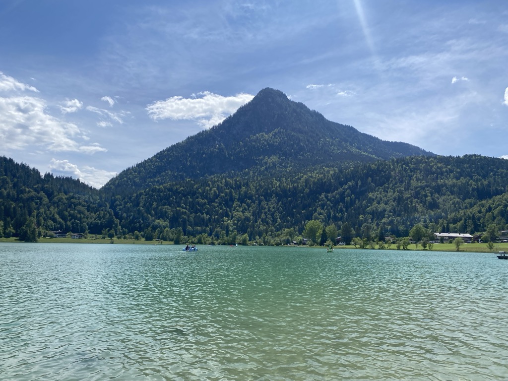
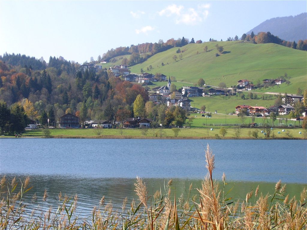
The Thiersee Lake lies in the center of Vorderthiersee in the valley with the same name on a height of 616 m. It is surrounded by mountains forming a kettle. The lake can be reached by car or by local bus from Kufstein via the valley. The Lake can be used for bathing and possesses an excellent water quality of Grade A. Several possibilities like boat trips, swimming, Beach volley and others are given. The best conditions are in June because in Summer the water can warm up to 24 °C. Several small creeks provide the Lake with fresh water. The Thiersee Ache drains the Lake, has a length of 7 km, which merges with the Inn River anew.
We use GPS information embedded into the photo when it is available.
3D mountains overlay
Adjust mountain panorama to perfectly match your photos because recorded by camera photo position might be imprecise.
Move tool
Rotate tool
Zoom
More customization
Choose which peak labels should make into the final photo and what photo title should be.
Next
Photo Location
Satellitte
Flat map
Relief map
Latitude
Longitude
Altitude
OR
Latitude
°'''
Longitude
°'''
Apply
Register Peak
Peak Name
Latitude
Longitude
Altitude
Register
Teleport
PeakVisor
This 3D model of Sagarmatha National Park in Nepal was made using the PeakVisor app topographic data. The mobile app features higher precision models worldwide, more topographic details, and works offline. Download PeakVisor maps today.
Download OBJ model
PeakVisor
The download should start shortly. If you find it useful please consider supporting the PeakVisor app.
PeakVisor for iOS and Android
Be a superhero of outdoor navigation with state-of-the-art 3D maps and mountain identification in the palm of your hand!