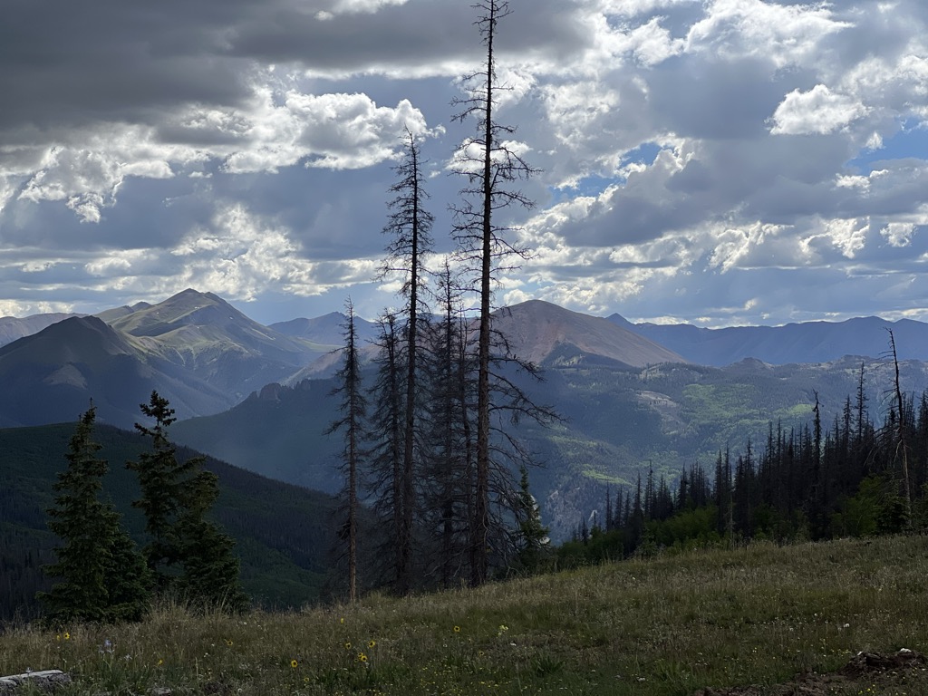
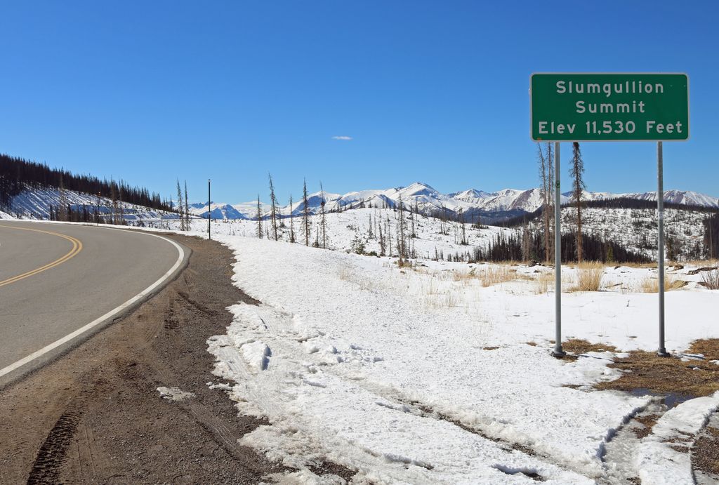
Slumgullion Pass (elevation 11,530 ft (3,514 m)) is a mountain pass in southwestern Colorado traversed by State Highway 149 east of Lake City. The north side has the steepest grade of any continuously paved road in Colorado (9%), but the pass does not close often in winter because snowplows clear the route regularly during this season. It has a few switchbacks and tight spots, but other than that, most travelers will find it an easy, scenic route. Technically speaking, the current highway does not traverse the true Slumgullion Pass, which lies just off the highway on the ridge between Cebolla Creek and the Lake Fork of the Gunnison River, at an elevation of about 11,300 ft (3,400 m). As a result of a realignment several decades ago (evident by comparing USGS topographic maps of different vintages), the road now takes a shorter but somewhat higher route as it travels east and south from this spot toward Spring Creek Pass. The road sign at the high point refers to Slumgullion Summit rather than Slumgullion Pass in order to reflect this. This is analogous to the usage of the terms Donner Summit and Cajon Summit in California. However, in all three cases, the more familiar but slightly inaccurate name is routinely used.
We use GPS information embedded into the photo when it is available.
3D mountains overlay
Adjust mountain panorama to perfectly match your photos because recorded by camera photo position might be imprecise.
Move tool
Rotate tool
Zoom
More customization
Choose which peak labels should make into the final photo and what photo title should be.
Next
Photo Location
Satellitte
Flat map
Relief map
Latitude
Longitude
Altitude
OR
Latitude
°'''
Longitude
°'''
Apply
Register Peak
Peak Name
Latitude
Longitude
Altitude
Register
Teleport
PeakVisor
This 3D model of Sagarmatha National Park in Nepal was made using the PeakVisor app topographic data. The mobile app features higher precision models worldwide, more topographic details, and works offline. Download PeakVisor maps today.
Download OBJ model
PeakVisor
The download should start shortly. If you find it useful please consider supporting the PeakVisor app.
PeakVisor for iOS and Android
Be a superhero of outdoor navigation with state-of-the-art 3D maps and mountain identification in the palm of your hand!