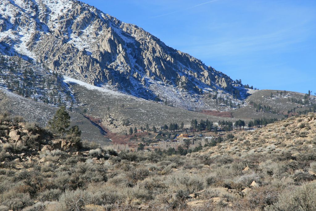
Sherwin Summit (el. 6,427 feet, 1,959 m) is a mountain pass on U.S. Highway 395. It is located east of Tom's Place and Crowley Lake in the eastern part of the Sierra Nevada range. South of the summit, the road starts on its long 2,400 foot (610 m) descent into the 4,000 ft (1,200 m) high Owens Valley. The Owens River generally follows the road from this summit through the Owens Valley. Motorists who come from the south usually cross this summit in order to go to the high-altitude towns like Mammoth Lakes to the northwest to escape the smothering summer heat in the deserts. The pass receives snowfall during the winter, although the region receives relatively little precipitation annually. The 1946 film My Pal Trigger was filmed here.
We use GPS information embedded into the photo when it is available.
3D mountains overlay
Adjust mountain panorama to perfectly match your photos because recorded by camera photo position might be imprecise.
Move tool
Rotate tool
Zoom
More customization
Choose which peak labels should make into the final photo and what photo title should be.
Next
Photo Location
Satellitte
Flat map
Relief map
Latitude
Longitude
Altitude
OR
Latitude
°'''
Longitude
°'''
Apply
Register Peak
Peak Name
Latitude
Longitude
Altitude
Register
Teleport
PeakVisor
This 3D model of Sagarmatha National Park in Nepal was made using the PeakVisor app topographic data. The mobile app features higher precision models worldwide, more topographic details, and works offline. Download PeakVisor maps today.
Download OBJ model
PeakVisor
The download should start shortly. If you find it useful please consider supporting the PeakVisor app.
PeakVisor for iOS and Android
Be a superhero of outdoor navigation with state-of-the-art 3D maps and mountain identification in the palm of your hand!