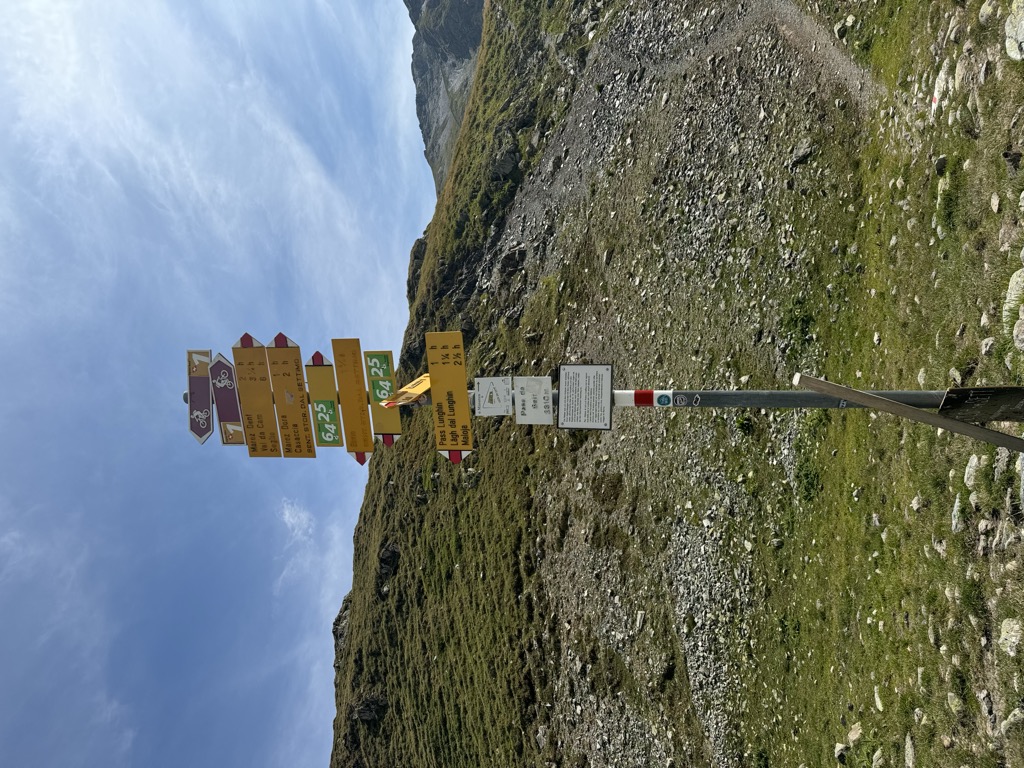
Septimer Pass (German: Septimerpass, Italian: Passo del Settimo, Romansh: Pass da Sett; elevation 2,310 meters or 7,580 feet) is a high mountain pass in the canton of Graubünden in the Swiss Alps between the valleys of Bregaglia (Bergell) and Surses (Oberhalbstein). It is traditionally considered the boundary between the Oberhalbstein and Albula Alps. During the Middle Ages, this, the Great St. Bernard, and the Brenner Passes were the preferred routes over the Alps for traveling emperors. The nearest inhabited localities on the approaches of the Septimer Pass are Casaccia on the south and Bivio on the north. Already in use by the Romans, who maintained a legion camp in the pass around AD 15–16, this pass was an important trade route from Milan through Bivio to Augsburg It was easier to use than the Splügen Pass, due to the latter having the difficult gorges of the river Hinterrhein. One of the earliest mentions of a Christian hospice was the one placed at the pass itself, mentioned in 831. It was mentioned in documents for the following millennium, even though it was abandoned in the tenth century and rebuilt at the beginning of the eleventh. (The hospice was later abandoned for good in 1778.) During the Middle Ages the Septimer Pass was crucial to the temporal power of the Bishopric of Chur, whose extensive territories until the fourteenth century included Chiavenna. In 1236 the St. Gotthard Pass opened, allowing traffic from Lucerne to Milan, which diverted merchants from going through Chur. The pass further lost importance after the construction of roads over the Julier and Maloja passes.
We use GPS information embedded into the photo when it is available.
3D mountains overlay
Adjust mountain panorama to perfectly match your photos because recorded by camera photo position might be imprecise.
Move tool
Rotate tool
Zoom
More customization
Choose which peak labels should make into the final photo and what photo title should be.
Next
Photo Location
Satellitte
Flat map
Relief map
Latitude
Longitude
Altitude
OR
Latitude
°'''
Longitude
°'''
Apply
Register Peak
Peak Name
Latitude
Longitude
Altitude
Register
Teleport
PeakVisor
This 3D model of Sagarmatha National Park in Nepal was made using the PeakVisor app topographic data. The mobile app features higher precision models worldwide, more topographic details, and works offline. Download PeakVisor maps today.
Download OBJ model
PeakVisor
The download should start shortly. If you find it useful please consider supporting the PeakVisor app.
PeakVisor for iOS and Android
Be a superhero of outdoor navigation with state-of-the-art 3D maps and mountain identification in the palm of your hand!


%2C_Passo_del_Settimo%2C_Sentiero_Storico_-_panoramio.jpg)


