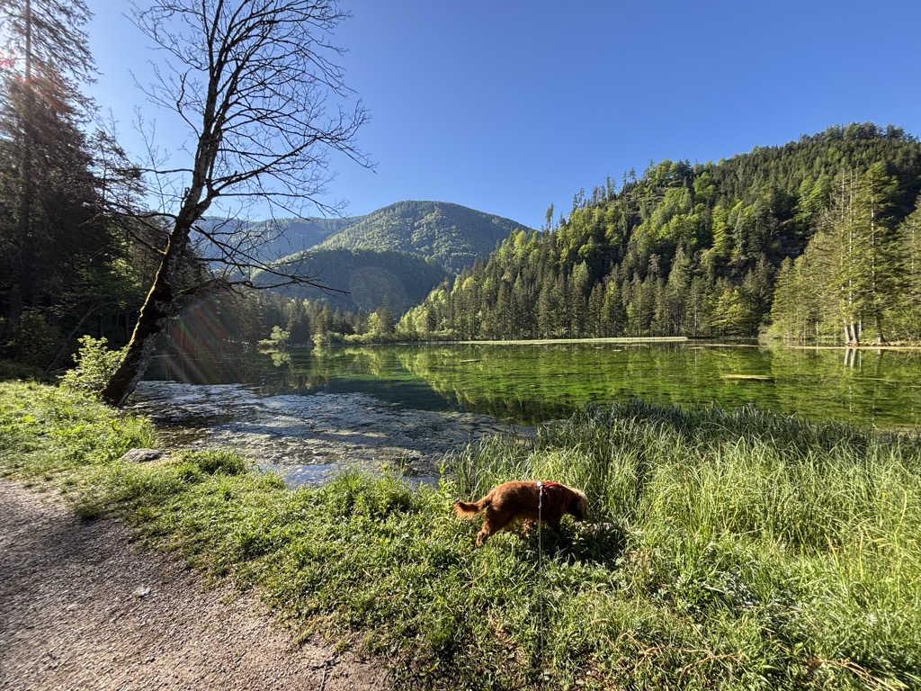
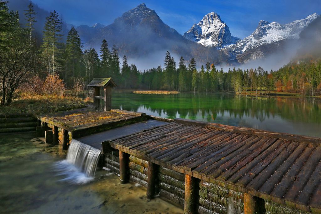
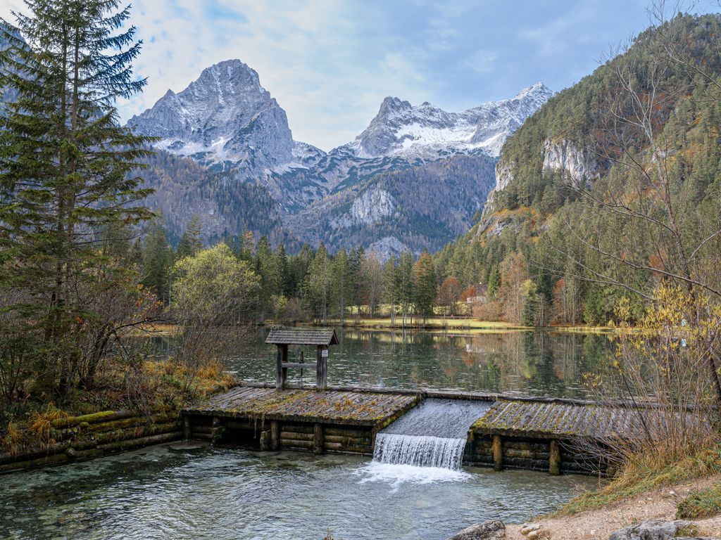
The Schiederweiher (Schieder-Pond) is an artificial lake in Hinterstoder, Upper Austria, created by impounding the river Krumme Steyr. The pond resides at the altitude of 612 m above sea level at the foot of the Großer Priel in the Totes Gebirge mountain range. It has roughly a surface of 2 ha with a depth of 1 to 1.5 m. The influx takes place via a ditch from the Krumme Steyr and is additionally fed by wells on the pond's bottom. Its drainage back into the Krumme Steyr is regulated by a wooden weir. The Schiederweiher was formed from 1897 to 1902 by Johann Schieder, k.u.k. master builder. To address the increasing deposition and algae formation, the municipality of Hinterstoder remediated the lake 2004/2005 with support of landowner Duke of Württemberg. Calcium-rich marl covers the lake bottom where stoneworts and common water-crowfoots grow. The southern bank displays a strip of phragmites, other shores only show sparse patches of common reed and a wet meadow borders in the west. The pond classifies as oligotrophic. During lake remediation the reed strip and shallow waters were kept intact and in 2005 stocked with river trout, arctic char, coregonus, minnow, bullhead and crayfish. The purple trail of the Via Alpina passes by the Schiederweiher to the Prielschutzhaus mountain hut. In 2018 the Schiederweiher was voted most beautiful site in Austria, through the popular vote of the local TV series „9 Plätze – 9 Schätze” (9 sites – 9 treasures)
We use GPS information embedded into the photo when it is available.
3D mountains overlay
Adjust mountain panorama to perfectly match your photos because recorded by camera photo position might be imprecise.
Move tool
Rotate tool
Zoom
More customization
Choose which peak labels should make into the final photo and what photo title should be.
Next
Photo Location
Satellitte
Flat map
Relief map
Latitude
Longitude
Altitude
OR
Latitude
°'''
Longitude
°'''
Apply
Register Peak
Peak Name
Latitude
Longitude
Altitude
Register
Teleport
PeakVisor
This 3D model of Sagarmatha National Park in Nepal was made using the PeakVisor app topographic data. The mobile app features higher precision models worldwide, more topographic details, and works offline. Download PeakVisor maps today.
Download OBJ model
PeakVisor
The download should start shortly. If you find it useful please consider supporting the PeakVisor app.
PeakVisor for iOS and Android
Be a superhero of outdoor navigation with state-of-the-art 3D maps and mountain identification in the palm of your hand!