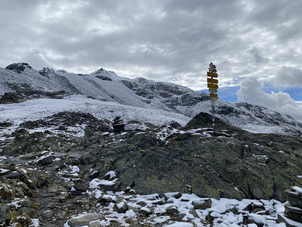
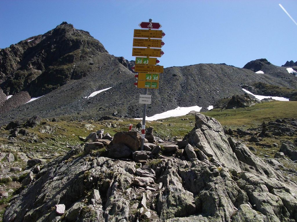
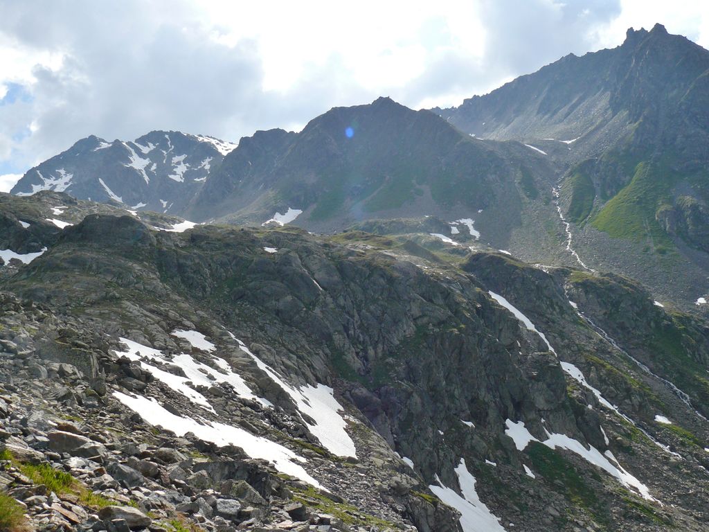
Scaletta Pass (Romansh: Cuolm S-chaletta, German: Scalettapass) (el. 2606 m) is a mountain pass in the canton of Graubünden, Switzerland. It lies in the Albula Range of the Alps. The path from Dischma leads to Cinuos-chel in the Inn Valley. This means it is a crossing from the German spoken Davos area into the romansh spoken Engadin and additionally a crossing from the northerly drainage basin of the river Rhine flowing into the North Sea and the south side of the drainage divide, emptying its waters into the Black Sea via Inn (river) and Danube. During summer Scaletta pass combines several routes for hikers and Mountainbikers. Instead of just crossing the main pass you can also head via Val Funtauna towards Keschhütte and continue to Bergün. An annual Swiss Alpine Marathon crosses the pass as well.
We use GPS information embedded into the photo when it is available.
3D mountains overlay
Adjust mountain panorama to perfectly match your photos because recorded by camera photo position might be imprecise.
Move tool
Rotate tool
Zoom
More customization
Choose which peak labels should make into the final photo and what photo title should be.
Next
Photo Location
Satellitte
Flat map
Relief map
Latitude
Longitude
Altitude
OR
Latitude
°'''
Longitude
°'''
Apply
Register Peak
Peak Name
Latitude
Longitude
Altitude
Register
Teleport
PeakVisor
This 3D model of Sagarmatha National Park in Nepal was made using the PeakVisor app topographic data. The mobile app features higher precision models worldwide, more topographic details, and works offline. Download PeakVisor maps today.
Download OBJ model
PeakVisor
The download should start shortly. If you find it useful please consider supporting the PeakVisor app.
PeakVisor for iOS and Android
Be a superhero of outdoor navigation with state-of-the-art 3D maps and mountain identification in the palm of your hand!