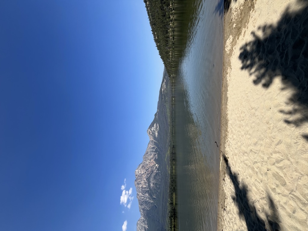
Pyramid Lake is a kidney-shaped lake in Jasper National Park, Alberta, Canada. It lies at the foot of Pyramid Mountain, a natural landmark that overlooks the town of Jasper. It has a total area of 1.2 km2 (0.46 sq mi) and discharges in Athabasca River through the 2 km (1.2 mi) long Pyramid Creek. Several picnic sites are established on the shores of the lake, as well as boat ramps. Pyramid Lake Lodge is located on the southeast point of the lake. Pyramid Island is a short distance from the resort, there is a small parking area which can be accessed by a road or hiking trails, then you cross a small wood foot bridge to the island itself, which has benches, picnic tables and a small open wooden shelter. Pyramid Lake is connected to the town of Jasper by Pyramid Lake Road and hiking trails, as well as hiking trails to other tourist sites such as Pyramid Mountain, Patricia Lake and Cabin Lake.
We use GPS information embedded into the photo when it is available.
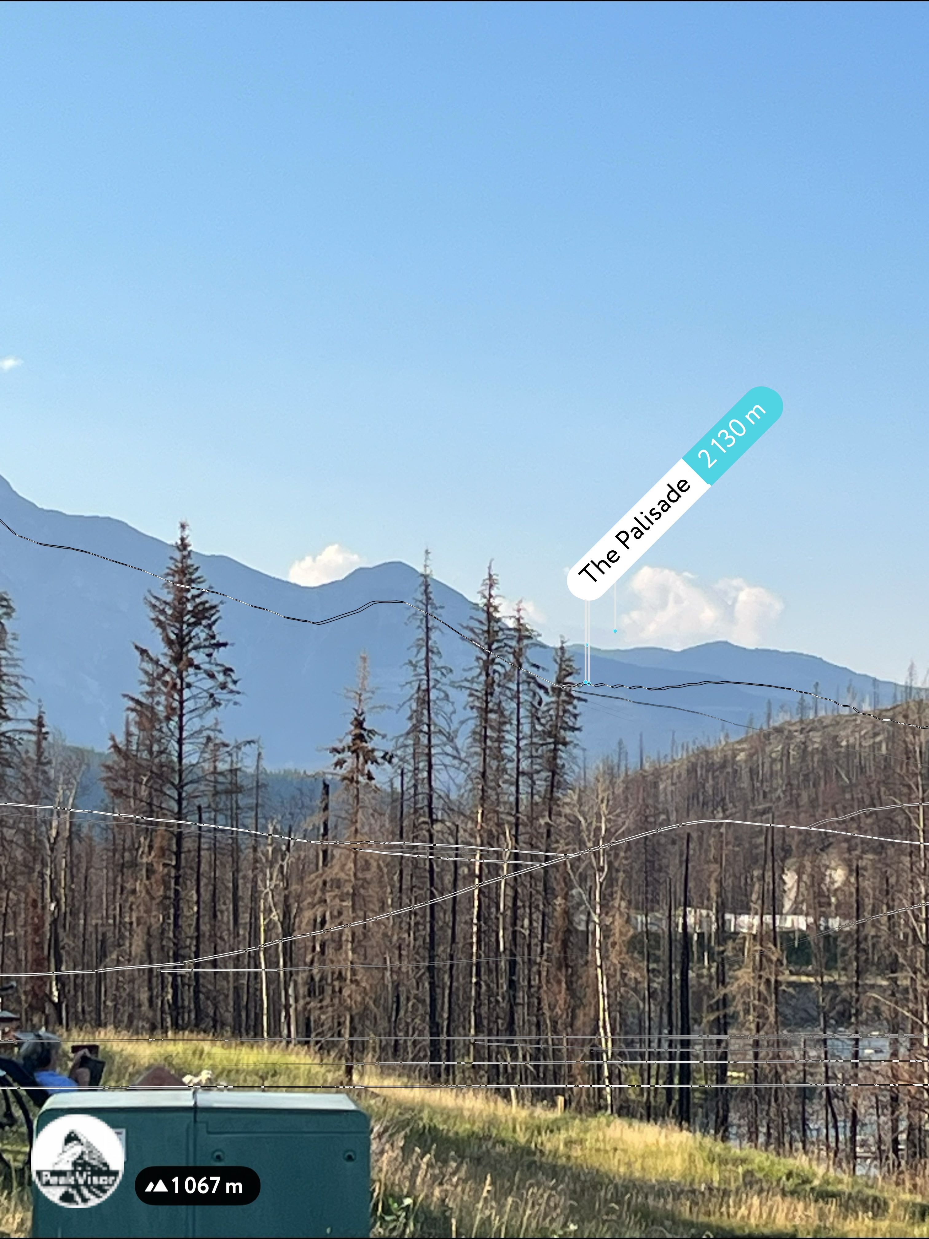
3D mountains overlay
Adjust mountain panorama to perfectly match your photos because recorded by camera photo position might be imprecise.
Move tool
Rotate tool
Zoom
More customization
Choose which peak labels should make into the final photo and what photo title should be.
Next
Photo Location
Satellitte
Flat map
Relief map
Latitude
Longitude
Altitude
OR
Latitude
°'''
Longitude
°'''
Apply
Register Peak
Peak Name
Latitude
Longitude
Altitude
Register
Teleport
PeakVisor
This 3D model of Sagarmatha National Park in Nepal was made using the PeakVisor app topographic data. The mobile app features higher precision models worldwide, more topographic details, and works offline. Download PeakVisor maps today.
Download OBJ model
PeakVisor
The download should start shortly. If you find it useful please consider supporting the PeakVisor app.
PeakVisor for iOS and Android
Be a superhero of outdoor navigation with state-of-the-art 3D maps and mountain identification in the palm of your hand!


.jpg)


