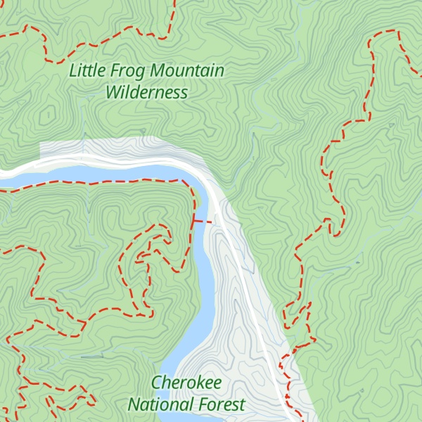
The Ocoee Whitewater Center, near Ducktown, Tennessee, United States, was the canoe slalom venue for the 1996 Summer Olympics in Atlanta, and is the only in-river course to be used for Olympic slalom competition. A 1,640 foot (500 m) stretch of the Upper Ocoee River was narrowed by two-thirds to create the drops and eddies needed for a slalom course. Today, the course is watered only on summer weekends, 34 days a year, for use by guided rafts and private boaters. When the river has water, 24 commercial rafting companies take more than 750 raft passengers through the course each day. Because the river is dry most of the year, the Center, now operated by the U.S. Forest Service, also serves as a site for hiking, mountain biking, conferences, weddings, and receptions. It receives about 300,000 visitors a year. The Ocoee Whitewater Center visitor center was destroyed by a fire early on the morning of April 26, 2022, and the main structure was completely destroyed. As of June 2023, investigators hadn't determined the cause of the fire. On May 27, 2023, a little over a year after the fire, the day use area of the Center opened to the public and the U S Forest Service sought public input for developing a masterplan for the Center.
We use GPS information embedded into the photo when it is available.
3D mountains overlay
Adjust mountain panorama to perfectly match your photos because recorded by camera photo position might be imprecise.
Move tool
Rotate tool
Zoom
More customization
Choose which peak labels should make into the final photo and what photo title should be.
Next
Photo Location
Coordinates work here too — paste them as 69.72728, 20.61890 and press Enter
Satellitte
Flat map
Relief map
Latitude
Longitude
Altitude
OR
Latitude
°'''
Longitude
°'''
Apply
Register Peak
Peak Name
Latitude
Longitude
Altitude
Register
Teleport
PeakVisor
This 3D model of Sagarmatha National Park in Nepal was made using the PeakVisor app topographic data. The mobile app features higher precision models worldwide, more topographic details, and works offline. Download PeakVisor maps today.
Download OBJ model
PeakVisor
The download should start shortly. If you find it useful please consider supporting the PeakVisor app.
PeakVisor for iOS and Android
Be a superhero of outdoor navigation with state-of-the-art 3D maps and mountain identification in the palm of your hand!