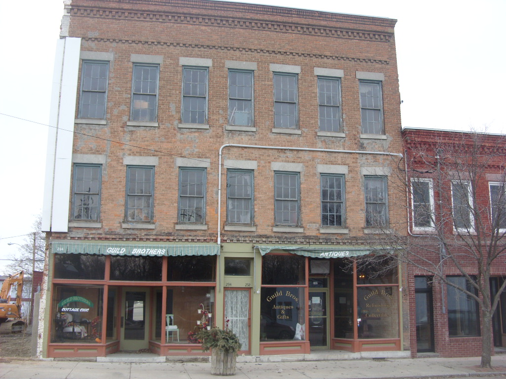
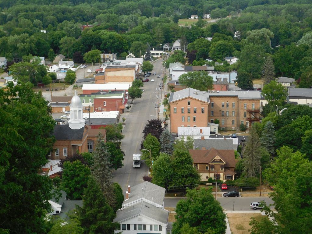
Montour Falls is a village located in Schuyler County, New York, United States. The population was 2,714 at the time of the 2020 census. A waterfall at the end of West Main Street gives the village its name. The name "Montour" is derived from Queen Catharine Montour, a prominent Native American woman of Seneca Indian heritage who lived at the village site in the 18th century. The boundaries defining the Village of Montour Falls occur mostly within the Town of Montour, but a small part lies within the Town of Dix. The village is located approximately twenty miles north of Elmira, New York and three miles south of Watkins Glen, New York. The New York State Academy of Fire Science is located in the village.
We use GPS information embedded into the photo when it is available.
3D mountains overlay
Adjust mountain panorama to perfectly match your photos because recorded by camera photo position might be imprecise.
Move tool
Rotate tool
Zoom
More customization
Choose which peak labels should make into the final photo and what photo title should be.
Next
Photo Location
Satellitte
Flat map
Relief map
Latitude
Longitude
Altitude
OR
Latitude
°'''
Longitude
°'''
Apply
Register Peak
Peak Name
Latitude
Longitude
Altitude
Register
Teleport
PeakVisor
This 3D model of Sagarmatha National Park in Nepal was made using the PeakVisor app topographic data. The mobile app features higher precision models worldwide, more topographic details, and works offline. Download PeakVisor maps today.
Download OBJ model
PeakVisor
The download should start shortly. If you find it useful please consider supporting the PeakVisor app.
PeakVisor for iOS and Android
Be a superhero of outdoor navigation with state-of-the-art 3D maps and mountain identification in the palm of your hand!